SIXSHOOTER CANYON
Pinal Mountains, Tonto
SIXSHOOTER CANYON
Pinal Mountains, Tonto
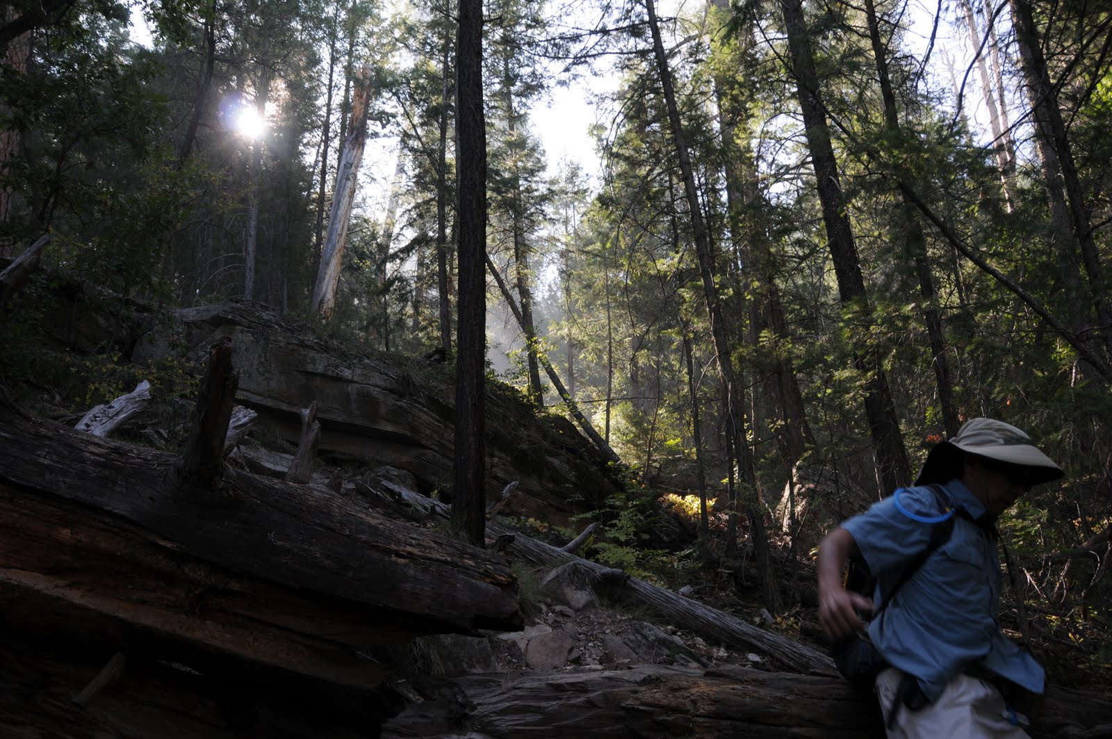
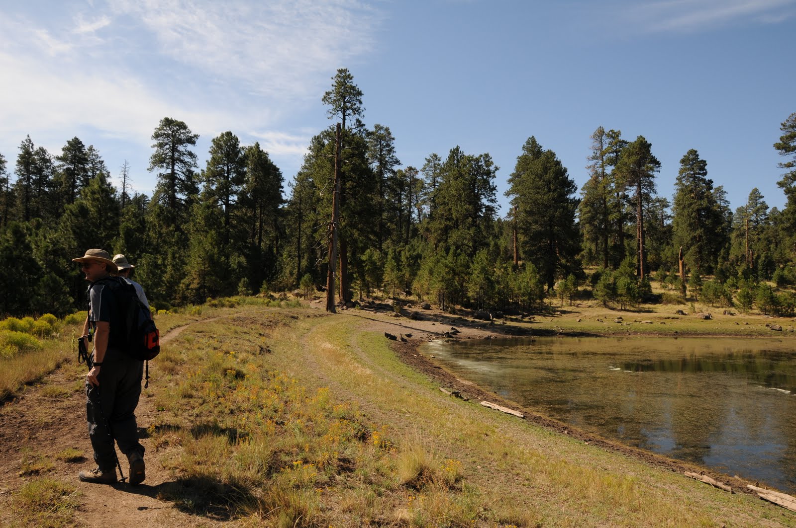
Of all the trails in the Pinals, this one (#197) is the toughest. The long, brutally steep route is strewn with obstacles--fallen trees, degrading slopes and derelict signage all contribute to the trail’s difficult rating. Along the way, remains of cabins, mines and a sawmill dot the woodlands adding a touch of history to this must-do Arizona trail. Access to the trail begins at the east side of the Icehouse CCC campground.
BONUS SIDE TRIP: Pinal Peak
From trail’s end, hike up to FR 651C, go left (southeast) and follow the dirt road past Upper Pinal campground to the 7,848 peak and highpoint of the range.
IMPORTANT NOTE: Pinal trails are notoriously overgrown and rife with obstacles. In addition, directional signage is sparse, so hikers must have excellent map and route-finding skills in order to safely navigate these trails.
A good map resource is the National Geographic Maps, Salt River Canyon, Tonto National Forest #853.
INFORMATION: www.natgeomaps.com/ti_853
LENGTH: 12 miles roundtrip
ELEVATION: 4,520 – 7,560 feet
RATING: difficult
BEST SEASONS: March -October (CAN GET WARM IN SUMMER)
DISTANCE FROM PHOENIX: 95 miles one-way
GETTING THERE:
From Phoenix, take US 60 east to the town of Globe. Once in Globe, watch for the sign that says: “Besh-Ba-Gowah Ruins, Globe Ranger Station”. Leave the freeway here and follow the signs toward the ruins. After driving under the pedestrian overpass, and past the ruins, turn right on Icehouse Canyon Road (Forest Road 112) and go 4.2 miles to the Icehouse CCC campsite where there’s a hiker sign on the left that reads: “197, 192”. If the gate to the campsite is locked, just park in the pullouts along the road.
INFORMATION: Globe Ranger District (928) 402-6200 http://www.fs.fed.us/r3/tonto/recreation/rogs/hikingtrail/grd/SixshooterTrail197.pdf


 Posts
Posts


 SIXSHOOTER CANYON
Pinal Mountains, Tonto
Of all the trails in the Pinals, this one (#197) is the toughest. The long, brutally steep route is strewn with obstacles--fallen trees, degrading slopes and derelict signage all contribute to the trail’s difficult rating. Along the way, remains of cabins, mines and a sawmill dot the woodlands adding a touch of history to this must-do Arizona trail. Access to the trail begins at the east side of the Icehouse CCC campground.
BONUS SIDE TRIP: Pinal Peak
From trail’s end, hike up to FR 651C, go left (southeast) and follow the dirt road past Upper Pinal campground to the 7,848 peak and highpoint of the range.
IMPORTANT NOTE: Pinal trails are notoriously overgrown and rife with obstacles. In addition, directional signage is sparse, so hikers must have excellent map and route-finding skills in order to safely navigate these trails.
A good map resource is the National Geographic Maps, Salt River Canyon, Tonto National Forest #853.
INFORMATION: www.natgeomaps.com/ti_853
LENGTH: 12 miles roundtrip
ELEVATION: 4,520 – 7,560 feet
RATING: difficult
BEST SEASONS: March -October (CAN GET WARM IN SUMMER)
DISTANCE FROM PHOENIX: 95 miles one-way
GETTING THERE:
From Phoenix, take US 60 east to the town of Globe. Once in Globe, watch for the sign that says: “Besh-Ba-Gowah Ruins, Globe Ranger Station”. Leave the freeway here and follow the signs toward the ruins. After driving under the pedestrian overpass, and past the ruins, turn right on Icehouse Canyon Road (Forest Road 112) and go 4.2 miles to the Icehouse CCC campsite where there’s a hiker sign on the left that reads: “197, 192”. If the gate to the campsite is locked, just park in the pullouts along the road.
INFORMATION: Globe Ranger District (928) 402-6200 http://www.fs.fed.us/r3/tonto/recreation/rogs/hikingtrail/grd/SixshooterTrail197.pdf
SIXSHOOTER CANYON
Pinal Mountains, Tonto
Of all the trails in the Pinals, this one (#197) is the toughest. The long, brutally steep route is strewn with obstacles--fallen trees, degrading slopes and derelict signage all contribute to the trail’s difficult rating. Along the way, remains of cabins, mines and a sawmill dot the woodlands adding a touch of history to this must-do Arizona trail. Access to the trail begins at the east side of the Icehouse CCC campground.
BONUS SIDE TRIP: Pinal Peak
From trail’s end, hike up to FR 651C, go left (southeast) and follow the dirt road past Upper Pinal campground to the 7,848 peak and highpoint of the range.
IMPORTANT NOTE: Pinal trails are notoriously overgrown and rife with obstacles. In addition, directional signage is sparse, so hikers must have excellent map and route-finding skills in order to safely navigate these trails.
A good map resource is the National Geographic Maps, Salt River Canyon, Tonto National Forest #853.
INFORMATION: www.natgeomaps.com/ti_853
LENGTH: 12 miles roundtrip
ELEVATION: 4,520 – 7,560 feet
RATING: difficult
BEST SEASONS: March -October (CAN GET WARM IN SUMMER)
DISTANCE FROM PHOENIX: 95 miles one-way
GETTING THERE:
From Phoenix, take US 60 east to the town of Globe. Once in Globe, watch for the sign that says: “Besh-Ba-Gowah Ruins, Globe Ranger Station”. Leave the freeway here and follow the signs toward the ruins. After driving under the pedestrian overpass, and past the ruins, turn right on Icehouse Canyon Road (Forest Road 112) and go 4.2 miles to the Icehouse CCC campsite where there’s a hiker sign on the left that reads: “197, 192”. If the gate to the campsite is locked, just park in the pullouts along the road.
INFORMATION: Globe Ranger District (928) 402-6200 http://www.fs.fed.us/r3/tonto/recreation/rogs/hikingtrail/grd/SixshooterTrail197.pdf