.png)
Arizona State Parks and Trails is currently seeking input
from thepublic for the 2025 Trails Plan.
The statewide plan aims to enhance trail systems and
improve access to outdoor recreation in Arizona.
Your input is valuable in shaping the future of Arizona's
trail system.
What’s in it for you?
Not only the opportunity to influence the future of Arizona’s
trails but also a chance to win awesome Arizona experiences
and prizes!
 |
| Oracle State Park |
Arizona State Parks has awesome incentives you enter a
drawing for, just by taking the survey. Prizes include
staycations in scenic Pinetop-Lakeside and Flagstaff,
a two-night camping trip in a comfortable micro-camper,
Arizona State Parks annual passes and gift cards,
and more, thanks to generous partners like the
Arizona Office of Tourism, Pin Drop Travel Trailers,
and the Southern Arizona Hiking Club!
 |
| Dead Horse Ranch State Park |
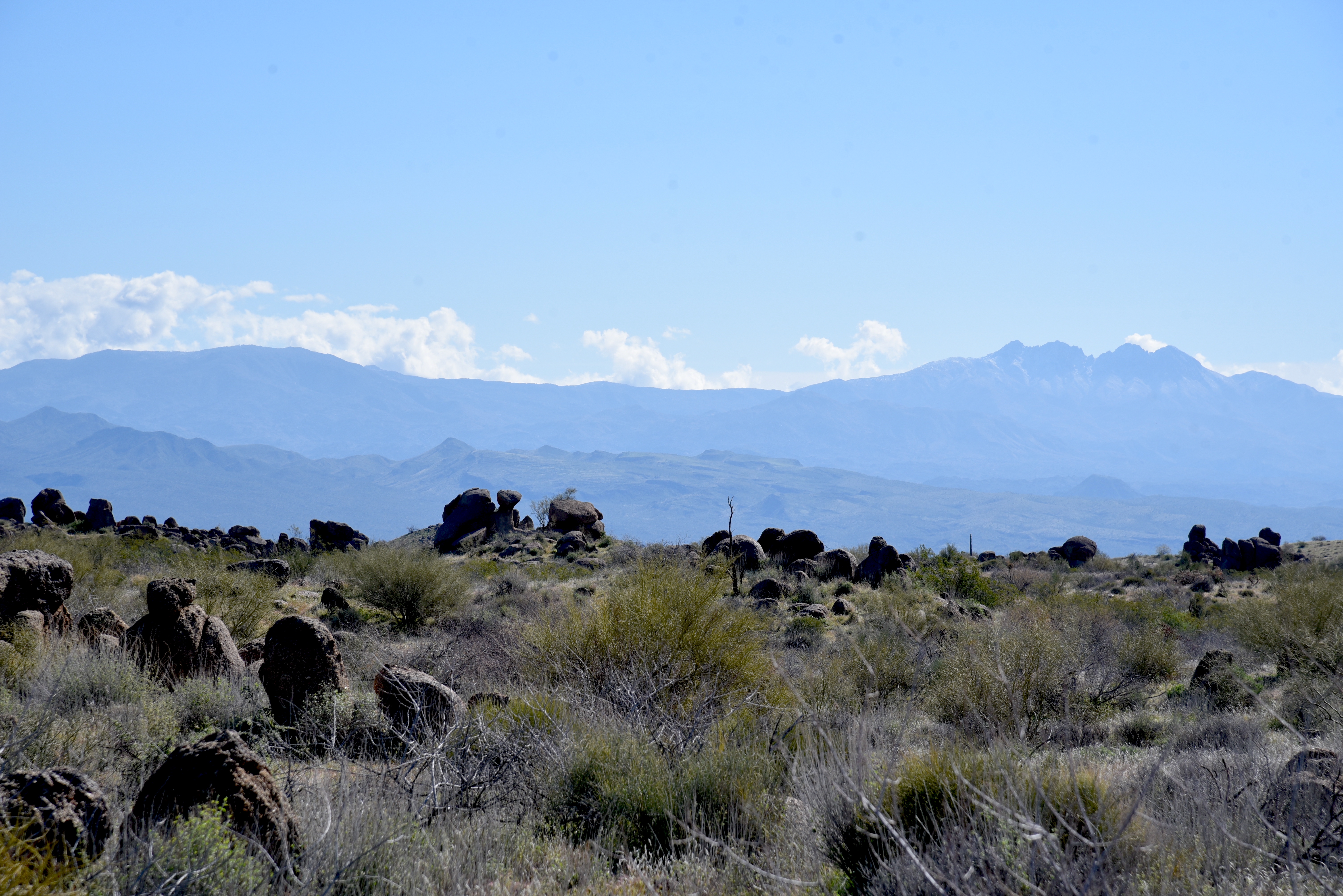
Trails are an essential part of Arizona's outdoor recreation
culture,providing access to some of the state's most
beautiful and unique landscapes.
More than 4.3 million Arizonans used trails in 2020, and
we expect that number to continue increasing in the
coming years.
Trails are not only a source of fun, health, and adventure
but also an important contributor to the state's economy.
 |
| Sonoita Creek State Natural Area |
The 2025 Trails Plan is a collaborative effort of our
organization, Arizona State Parks and Trails, other
land managers, nonprofits, and the public...that’s YOU!
We’re seeking input from all trail users, including hikers,
equestrians, mountain bikers, and off-highway
vehicle riders.
The survey aims to identify the most pressing trail
needs and help guide future federal and state
funding priorities.
The survey covers a wide range of topics related to
Arizona's trail systems, including:
Acquisition of land and new trail development
Trail maintenance and improvements
Trailhead facilities like restrooms and parking
Trail signage and wayfinding
Trail safety and education
Your input can help shape the future of Arizona's trail system.
Whether you're an avid trail user or just getting started,
your opinion matters.