


 Posts
Posts


RIDGELINE TRAIL
 |
| View from the new Ridgeline Trail |
The latest addition to the Fountain Hills McDowell Mountain Preserve trail system delivers a great workout over its compact, sinuous course. Aptly dubbed the Ridgeline Trail, the path which debuted in Fall 2020, traces the spine of a chain of hills in the preserve’s southeast sector.
 |
| A steep section of the Ridgeline Trail |
The
trail’s ingenious build, ample directional signage and meticulously groomed
tread glides through the mountainous terrain like a knife through buttah.
While
the trail is rated as difficult, it lacks the precipitous traverses, confusing
junctions, insanely steep inclines and slippery descents typically associated
with the rating.
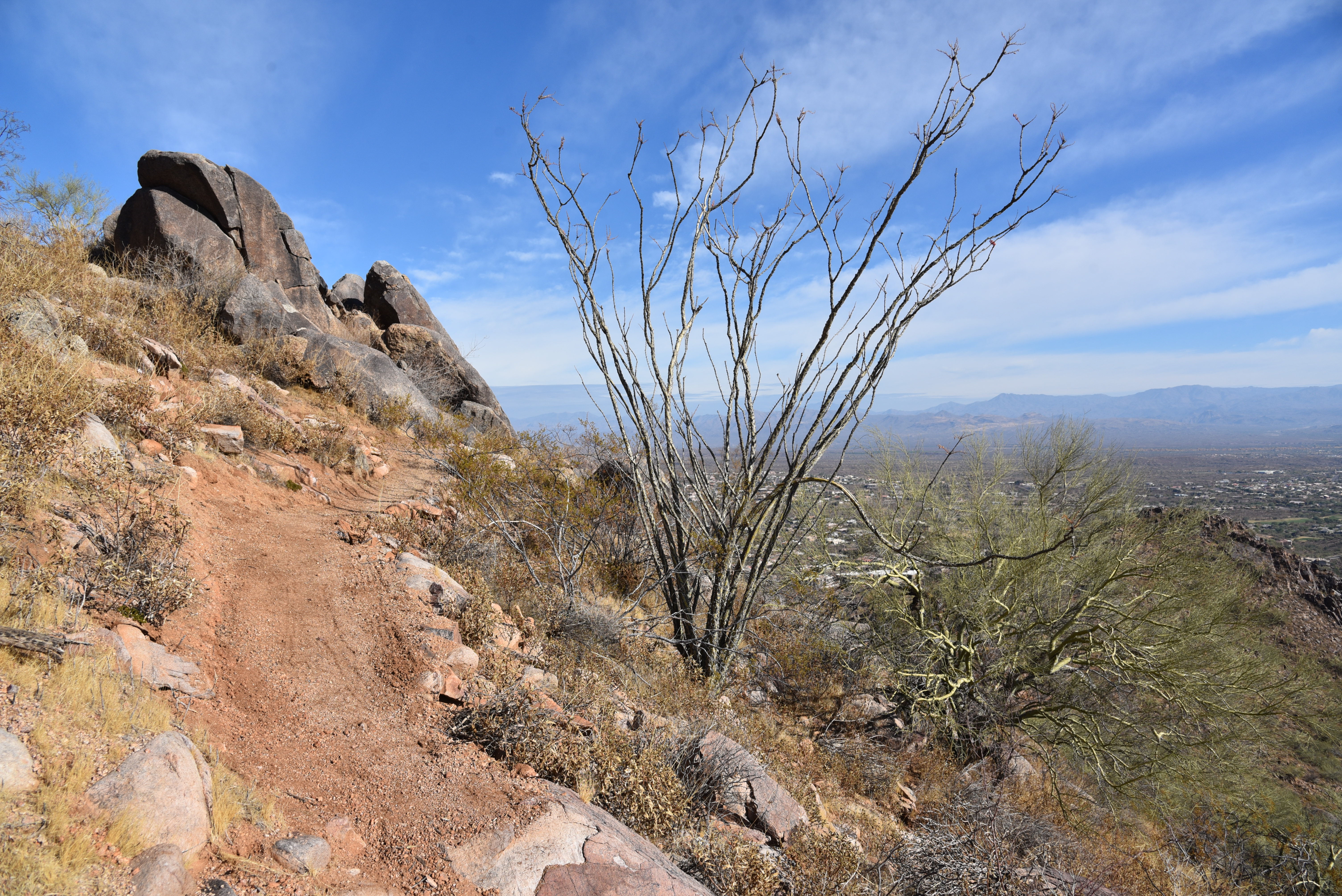 |
| Ridgeline Trail hugs the spine of a chain of peaks |
 |
| Fountain Hills viewed from the Overlook Trail |
But don’t be fooled by its tame appearance and deceptively effortless 226 feet of elevation change from low point to high point. The route is a grinding rollercoaster of twisting descents and false summits that add up to over 900 feet of gain-and-loss over the 3.8-mile trek.
 |
| The route follows a lumpy ridgeline |
From the Adero Canyon trailhead in the foothills above Fountain Hills, the hike begins with a mild walk on the Overlook Trail. This short connecting trail has several scenic viewpoints and is perfect for those looking for a quick up-and-back with great vistas. But for a full dose of mountain exposure, follow Overlook 0.6-mile to its end and continue on the Ridgeline Trail.
 |
| Switchbacks ease the climbs on Ridgeline Trail |
The slim path is not open to bikes so you won’t encounter speeding traffic that could be dangerous where the trail hangs on the edge of stony outcroppings. Within a quarter mile, an unobstructed view of the full length of the lumpy ridge shows what lies ahead.
 |
| Hike begins on the Overlook Trail |
The trail stays high on the backbone of a series of mounds, clefts strewn with chipped quartz and cholla-embellished flats with views that grow and change throughout. Early in, the McDowell and Cave Creek Mountains to the northwest soar above an expansive valley dotted with homes.
 |
| Distance Four Peaks seen from Ridgeline Trail |
 |
| Quartz specimens line the route |
Midway through the hike, views of the familiar Weaver’s Needle and Flatiron formations in the Superstition Wilderness, Mazatzal Mountains, Four Peaks, Red Mountain and the distant conical form of Mount Ord take over. After what feels like a dozen or more ascents and descents, a final climb lands hikers on the craggy nose of the ridge. Although the terminus is not the highest elevation of the hike, the isolated nub stands clear of view-blocking cliffs and ravines that characterized the hike up to this point opening up 360-degree vistas. From this dizzying spot, the importance of preserving natural environments is visually apparent.
 |
| The route has over 900 feet of elevation change |
 |
| View from the end of Ridgeline Trail |
In the distance, hazy layers of wilderness mountains fade into a sprawling river basin at the confluence of the Verde and Salt Rivers. Directly below, golf greens, subdivisions, shopping centers and highways lap at the cusp of this little jetty of saved space. It’s something to be thankful for in a tumultuous 2020.
 |
| An edge-hugging section of Ridgeline Trail |
LENGTH: 3.8 miles roundtrip
RATING: difficult
ELEVATION: 2,364 – 2,590 feet (950 feet of accumulated elevation change)
GETTING THERE:
Adero Canyon Trailhead
14800 N. Eagle Ridge Drive, Fountain Hills.
From State Route 87 in Fountain Hills, go 3.2 miles west on Shea Blvd. to N. Palisades Blvd. Turn right (north) and continue 1mile to Eagle Ridge Drive, turn left and go 2.3 miles to the trailhead.
PRESERVE HOURS: Sunrise to sunset daily. No fee.
INFO:
Fountain Hills McDowell Mountain Preserve
https://www.fh.az.gov/295/McDowell-Mountain-Preserve-Trails
Sonoran Conservancy of Fountain Hills


