Find A Trail. Start Your Search Here:

Showing posts with label Sandrock Canyon. Show all posts

Monday, September 9, 2024

Sandrock Canyon

SANDROCK CANYON

An Arizona Sister alights on Gambel oak

Arizona Sisters are hard to ignore.  Adorned with distinctive white markings and orange wing tips the eye-catching butterflies are familiar sights in oak woodlands. 

FR9361A crosses Sandrock Canyon

Native to Central America and the American Southwest, Adelpha eulalia are easy to spot flitting among oak canopies from late spring through fall.
Fossil Springs overlook at end of FR9361A

Unlike many other butterflies, this colorful species with a wingspan of 3 to 5 inches does not normally feed on flowers.  
Sandstone ledges over Fossil Springs Wilderness

Oak trees are their host plants and primary food source, but they can also be observed perching around mud puddles and water holes. 
Arizona Sisters stand out in oak forests

The pine-oak woodlands and riparian canyons of Arizona’s Mogollon Rim provides ideal habitat.  They have a knack for finding beautiful places to live and produce three or more broods per year between March and December.  Hikers can take a step into their terrain by seeking out quiet trails and backroads located between 4,000 and 8,000 feet in elevation where several species of native oaks thrive.  
Amazing views from above Fossil Springs

Forest Road 9361A in Coconino National Forest departs from a who-knew trailhead 27 miles east of Camp Verde on State Route 260.
Agaves grow on the rim over Fossil Springs

 
The dirt two-track leads into prime butterfly territory with a jaw-dropping beautiful payoff at the end.

From the trailhead, the FR9361A heads through a barbed wire gate and a concrete tunnel under SR260. 

Sandrock Draw Tank on FR9361A

There are three wire gates along the route. Be sure to close each gate behind you. At the 0.3-mile point, the road is signed as FR9361D, but maps show it as FR9361A, either way, it goes to the same destination.  
Sandrock Draw Tank is a wildlife magnet

A short walk past the sign, pine-shaded Sandrock Draw Tank, a created waterhole, attracts a host of wildlife. 
Water hole near the FR9361Q junction

Birds, dragonflies and Arizona Sisters twitching along its muddy fringe are common sightings.  Sandrock Draw gradually widens becoming a canyon that feeds into Fossil Springs Wilderness.
Tunnel under SR260 at the trailhead

Just beyond the tank, the route heads left at a fork and continues to the 0.9-mile point where the route veers right at the FR9361H junction to stay on FR9361A.  Here, the road traces the Sandrock Canyon dipping and climbing through juniper meadows and Ponderosa pines with occasional mountain vistas peeking through dense tree cover.  
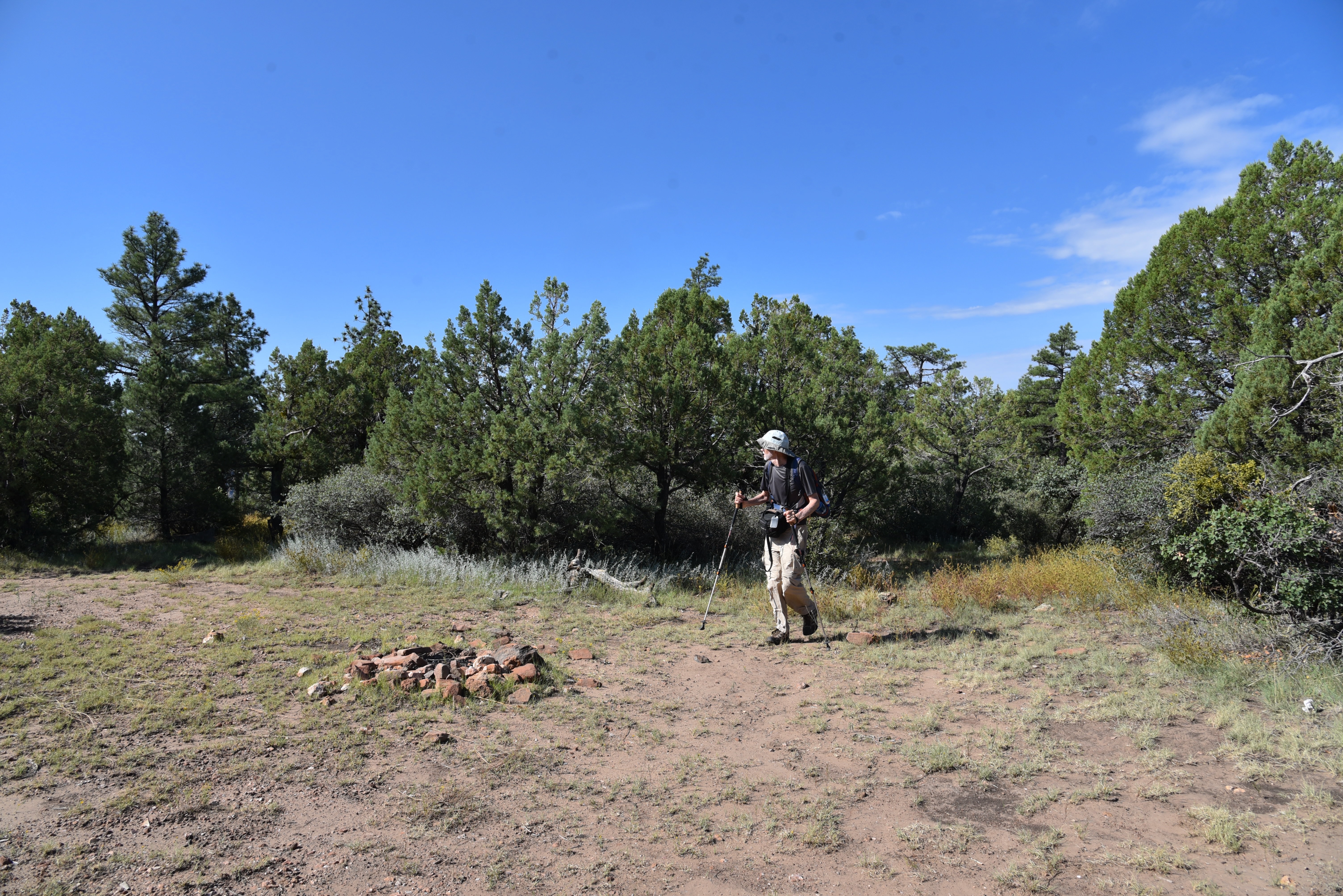
FR9361A ends just yards from the overlook

A major road fork at the 1.6-mile point is marked by a small water hole and the junction with FR9361Q.  The route heads right to again stay on FR9361A.  The final 0.8-mile leg of the hike passes through an enchanting green tunnel--bound to turn gold in autumn-- of Gambel oaks replete with Arizona Sister activity.  The lightly travelled dirt road narrows as it makes a moderate descent to its terminus at a non-descript circular campsite that belies the spectacle located just a few yards beyond. 
Mountain vistas from a sunny meadow

Faint game paths wind through a maze of agave, cacti and ancient Alligator junipers landing hikers at an overlook above Fossil Springs Wilderness.  Sandstone ledges protrude over a gorge that plunges 1,000 feet to the wilderness floor that’s home to Fossil Creek, one of Arizona’s most popular water-centric recreation areas. 
There are 3 gates on the hike. Close them behind you!

Broken agaves at the overlook

Free of the (permit-required) traffic and visitors splashing in the waterfalls, the view from above gives a seldom seen overview of the scope and magnitude of the 11,550-acre wilderness below.
Ponderosa pines shade the route


LENGTH:  4.8 miles roundtrip

RATING: easy

ELEVATION:  6,375 – 6,149 feet

GETTING THERE:

From Interstate 17 in Camp Verde, go 27 miles east (toward Payson) on State Route 260 to Forest Road 142 located past milepost 245 on the left.  Immediately past the cattle guard, turn left into a dirt parking area.  A high clearance vehicle is recommended.

The dirt parking area also serves as an access point for the General Crook Trail No. 130.

Monday, May 18, 2020

The Pocket

THE POCKET. Coconino National Forest
Not long before the mantra of social distancing surfaced to dominate the way we interact with our surroundings; another experiential movement had been catching fire. Forest bathing, the belief that immersing in nature can boost well-being, was la mode de jour that first gained traction with the masses around 2017. 
Hike follows a forest road to the lip of two tributary canyons
   
Promoted not so much for its physical exercise benefits but as a spiritual renewal technique, the hype dovetailed nicely with concurrent self-help therapies like mindfulness, wellness and meditation.
Regarding the idea that forests and natural environments have special powers, we hikers say, “Duh!”
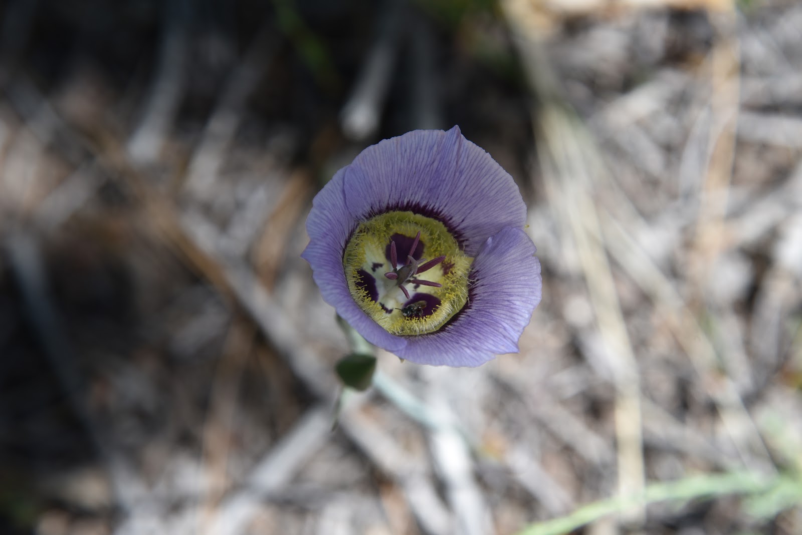
Sego lilies bloom May - July
Of course, being outside in nature makes you feel good. Yet, like anything else, what constitutes a feel-good outdoor experience varies by individual tastes.
Certainly, one might forest bathe on a popular trail where there are yoga classes in the parking lot, chatty gaggles and meditation circles at trail’s end, but if that doesn’t ring “power cleansing” to you, then take a detour.  Look for an outwardly boring place without crowd-drawing summits, water features or comfort facilities to ditch the distractions and turn your attention inward.
Silver puff gone to seed.
This stock tanks sits at the crest of Calf Pen Canyon
Near trail's end, high desert vegetation takes over
Tree cover obscures views of Calf Pen Canyon
Wild onions bloom through late summer
Run (into the) Forest! Run!
Fossils weather out of limestone pediments
Domestic cattle congregate around a water hole
Western wallflower bloom March - September
Gambel oaks and ponderosa pines shade the route 
A walk along the backroads of The Pocket offers a near-perfect forest bathing experience.  Located roughly 10 miles north of the town of Strawberry in Coconino National Forest, the stony peninsula juts out over the eastern edge of Fossil Springs Wilderness. The hike begins at a dirt pullout near Twentynine Mile Lake, an ephemeral wetland just off State Route 260 and follows the rough course of forest road 9366R where there are several dispersed campsites within the first mile.
For hikers, finding serenity in the forest is nothing new.
Wrapped in tall pines, the road is wide and simple to follow making it easy to focus on immersing in the experience rather than route-finding.
Sego lilies can be white, pink or purple
At first, the hike feels about as sweetly monotonous as a 1980s prom ballad. Trees block all views and each bend in the road is like another stanza in a familiar tune. Here is where the “bathing” part comes in. First, although it’s not immediately obvious, you are walking on a promontory 1000 feet above two remote tributary canyons in the wilderness area. About a third of the way through the hike, glimpses of Calf Pen Canyon to the south begin to tease the imagination. Several primitive roads veer off the main route heading to the edge if you want a queasy look into the feral end of the popular water-centric destination.
Wildflowers color the forest understory
The route dissolves into sandstone slabs near The Pocket
Second, this is an opportunity to tune in to beautiful details hiding in plain sight. Underfoot, fossils weather out of ancient limestone while lizards, squirrels and wild turkeys dart among an understory of blooming shrubs and wildflowers. Stop and breath in the fresh mountain air and the sweet fragrance of pine.
Savor the delicate beauty of a Larkspur flower
Contemplate the intricate structure of a meadow larkspur flower and listen for the calls of ravens and the mournful bellows of domestic cattle that congregate near water holes situated along the road.
Manzanita is a common blooming shrub on the route
Toward the end of the route, the forest changes from dense stands of Ponderosa pine and Gamble oaks to a more arid zone dominated by alligator juniper, pinion and cacti growing among slabs of red sandstone. The road fades into the nose of The Pocket where the jagged walls of Sandrock Canyon merge with Calf Pen Canyon before disappearing completely among yucca and high desert scrub.
In this rarified air at a canyon convergence, solitude and wonderment punch through the veneer of whatever glossy catchphrase might attempt to label, style or brand feelings that are so intrinsically human.
LENGTH: 8 miles roundtrip
RATING: moderate
ELEVATION: 6,000 - 6,990 feet
GETTING THERE:
From Interstate 17 in Camp Verde, take the State Route 260 exit 287
heading east toward Payson.
Continue 32.5 miles on SR 260 (Zane Grey Hwy) to Forest Road 9366R a dirt road on the right about a quarter-mile past milepost 250 at Twentynine Mile Lake. This is 1.2 miles north of the State Route 87 junction for those coming north from the Payson area. Park in pullouts. There are several dispersed campsites along the road.  No facilities.