


 |
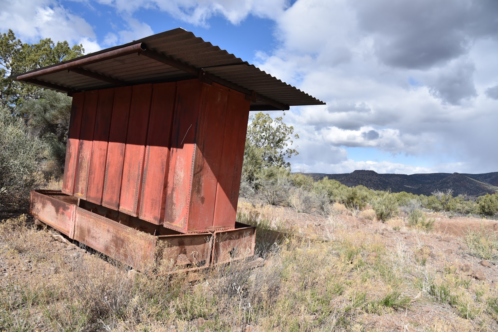
| Old feed trough at Beaverhead Tank. |
 |
| View of Mingus and Woodchute Mountains |
The recently
re-located and documented Chavez Road has a captivating history as a
prehistoric trade route, mule and oxen trail and freight transit system for
Verde Valley pioneers. The steep, rough-cut road was an important travel route until 20th
century railroads and the General Crook Trail provided safer, more efficient
means of transportation.
By the 1920s,
the abandoned route began to melt into oblivion, succumbing to neglect and
encroaching vegetation. Recognizing an
opportunity for “adaptive re-use”, the forest service took on the exhaustive
process of surveying and preserving the historic road for recreational use. The 9-mile section that runs between State
Route 179 south of Sedona and the Stoneman Lake interchange off Interstate 17 has been
identified, marked with carins (rock stacks) and opened to non-motorized travel.
The entire segment can be hiked via car
shuttle, a grueling out-and-back hike or sampled as an exploratory day trek.
Although starting on the upper , I-17 trailhead for a downhill
hike sounds like a no-brainer, this choice trades avoidance of strenuous climbs for serious route-finding
obstacles. Hikers must have a keen sense of direction to leap-frog from carin-to-carin to stay on track.
For a less complicated outing, the lower trail offers a tougher climb
but a better-defined route. Beginning at
the SR-179 trailhead, hike through the gate and follow the rocky road to the
0.1-mile point where the Chavez Trail veers right at the 9204T sign. The wide
road to the left is an add-on surprise for the way back. From the junction, the route ascends 1000
feet in just under 2 miles among pinion-juniper woodlands on a ragged,
edge-hugging road to the top of a mesa with spectacular Red Rock Country and
Bradshaw Mountain Views. This is an
ideal turnaround point for a moderate day hike.
Unless you decide to take on the remaining 7
miles of head-scratching hiking, descend back to the 9204T junction and pick up
the unsigned road heading north. This easy-to-follow,
0.8-mile diversion tacks on 400 feet of elevation gain to the hike as it winds its
way to Beaverhead Tank. Tucked into a breezy hollow, the secluded, weedy stock pond
and a defunct feeding trough at the end of a road less travelled sees few visitors
other than roaming cattle and chipping parades of quail.
 |
| Beaverhead Tank |
 |
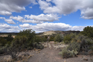
| View from Chavez Trail |
 |
| Juniper-pinion vegetations dominates the hike |
 |
| You'll probably encounter cattle on this trek |

LENGTH &
ELEVATION:
Chavez Trail to
I-17: 9.1 miles one way, 3720 – 5320 feet
Chavez Trail to
the rim: 4 miles roundtrip, 3720 – 4400 feet
Beaverhead Tank Road:
2 miles round trip, 3720 – 4120 feet
RATING: moderate
- difficult

GETTING THERE:
Lower Trailhead:
From Interstate
17 take exit 298 for Sedona/Oak Creek head 3.4 miles west on State Route 179 to
just past milepost 302. Turn right onto an unsigned dirt parking circle on the
right. If you reach the Welcome to Red
Rock Scenic Byway monument at Dry Beaver Creek, you’ve gone 0.2-mile too far. The hike begins at the gate marked 9204S.
Upper Trailhead:
From Interstate
17, take Stoneman Lake exit 306 and follow Stoneman Lake Road (Forest Road 213)
to the trailhead on the left.
Map &
History