


WILLOW VALLEY DAM
 |
| Sign on FR9352Q |
Willow Valley on the Mogollon Rim is best known for its narrow, cliff-bound course. Rugged back country trails including Maxwell, Tramway, Calloway and the milder Willow Crossing lead into its chiseled sandstone depths in West Clear Creek Wilderness. At its lower reaches, Willow Valley merges with Clover Creek where both empty into West Clear Creek.
 |
| Bar D Corral on FR 93 |
Experienced, well-equipped hikers must brave rough roads, sketchy vertical descents, wading and scrambling to explore the wilderness end of the Coconino National Forest valley located roughly 40 miles south of Flagstaff.
 |
| Flat Draw Tank near Bar D Corral |
But the valley’s upper reaches in the Plateau Lakes region southeast of Mormon Lake are a whole other story. On the windy expanse, the valley is a shallow, yawning break in the landscape, hemmed in by fringes of Ponderosa pines.
 |
| Calliopsis bloom June - September |
It’s a beautiful, more accessible side of the valley. Replete with water holes, corrals and a maze of dirt roads, the bucolic slice of forest stands in stark contrast to its deeper, wilder end.
 |
| Scene along FR 93 |
A few miles south of the community of Happy Jack, off Lake Mary Road, Forest Road 93 serves as a route to Willow Valley Dam and a quiet pocket of forest that’s easy for just about anybody to explore on foot.
The hike follows Forest Road 93, a level dirt track with lots to see along the way.
 |
| Wild geranium bloom May - September |
At the 0.75-mile point, the road meets Bar D Corral, a collection of barbed wire, fencing and other cattle roundup structures. Nearby, the glassy pools of Flat Draw Tank reflect trees and sky while providing water for wildlife and domestic cattle.
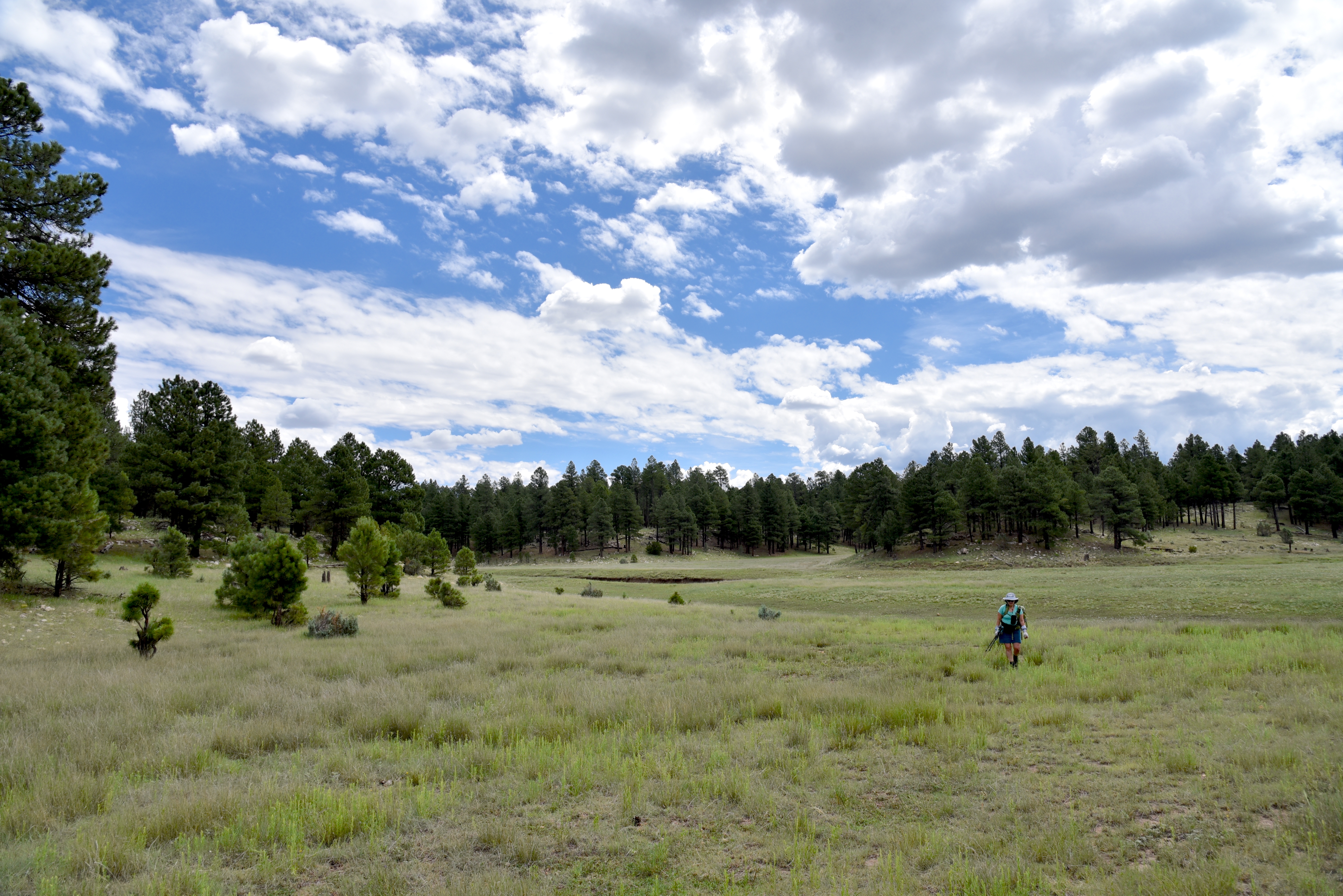
 |
| Willow Valley scene on FR234C |
Another mile, and the road comes to Wingfield Corral with its tangle of fencing and complex construct of metal and wood. At the north end of the corral, a secondary dirt road heads east.
 |
| The breached Willow Valley Dam |
It’s not signed, but this is Forest Road 234C, a 0.2-mile route that crosses over Willow Valley south of the dam. It’s a fun detour, but to get to the dam, skip FR234C and continue 0.2-mile past the corral and head right on Forest Road 9352Q which is open only to foot travel.
 |
| Puddle in the break of Willow Valley Dam |
The 0.3-mile dirt road ends at a grassy swale. Open to the sky, the wide depression is also known as Willow Valley Lake.
While rain-scoured channels and ample greenery hint that water occasionally runs through, the Willow Valley Dam that had contained the “lake” has partially collapsed.
 |
| Willow Valley Dam seen from FR 9352Q |
The earthen embankment is still impressive, though. Its shrub-encrusted walls stand high above the valley with ephemeral puddles at its base.
 |
| Willow Valley "Lake" is a moist swale |
Wildflowers thrive in the moist soil and robust elk tracks suggest that the site is still an important wildlife resource.
 |
| Wingfield Corral on FR 93 |
Forest Road 9352Q continues up a knoll to a shady overlook above the dam that frames picture perfect views of a snippet of Willow Valley’s origin story.
LENGTH: 6 miles roundtrip (out-and-back to the dam beginning near Lake Mary Road)
RATING: easy
ELEVATION: 6,924 – 6,745 feet
GETTING THERE:
From Flagstaff, go 42 miles south on Lake Mary Road (County Road 3) to Forest Road 93 on the left past milepost 302 signed for Willow Valley Dam. Park along any of the dirt turnouts or dispersed camping sites along the road. FR93 is maintained dirt suitable for all vehicles for about a mile. After that, high clearance is recommended.