STAGE STATION
LOOP
 |
| Cow Tank on the Stage Station Loop |
Long before the
Atlantic and Pacific Railroad, Route 66 and ultimately, Interstate 40
drastically altered the travel corridors of Northern Arizona, a maze of
backcountry dirt wagon roads south of Williams connected the town with surrounding
communities. Although they’re no longer used as primary routes, the roads that
remain now mostly lead to ranches and popular recreational sites.
 |
| Ruins of an historic stage coach rest stop. |
Stage Station
Loop, a rough 4x4 road that spins off the Bill Williams Mountain Loop—a 30-mile
scenic drive that’s also called Forest Road 108—gives a taste of what long
distance travel was like back in the late 19th and early 20th
centuries.
 |
| Natural water tanks near the stage station site. |
Kaibab National
Forest calls it a bike route and its rutted, crooked course tests the skills of
Jeep enthusiasts, but the shady trail that follows old Forest Road 41 also
makes for a moderately challenging hike with subtle sights that speedier users
might miss.
 |
| Buffalo bur bloom around Cow Tank. |
Passing among pine-oak
woodlands, vivid green seep areas and juniper-dotted meadows splattered with random
growths of cacti and agaves, the ever-changing scenery offers glimpses of 9256-foot
Bill Williams Mountain and crusty volcanic outcroppings.
From the main
(west) trailhead, the route--which is also known as Cow Tank Road—descends gently
for 3.5 miles on an often-muddy, red-earth passage to the loop’s midpoint where
Grindstone Wash feeds into a beautiful pasture with waterholes. This sunny open
area that's signed as "Cow Tank", is peppered with dilapidated corrals and acres of rusty barbed wire coiled
around rough-cut fence posts.
 |
| A rustic corral at Cow Tank. |
Two large earthen stock tanks that sit amid
fields of Buffalo bur, sunflowers and tree stumps sustain wildlife and the domestic
cattle that roam adjacent rangelands.
 |
| Monsoon clouds build above Wild Steer Mesa. |
About
a mile farther up the road, the barely-discernable remains of the eponymous stage
coach rest stop that served travelers enduring the bumpy ride between Prescott
and Williams is perched at the edge of a gorge where natural stone tanks
capture rain water.
 |
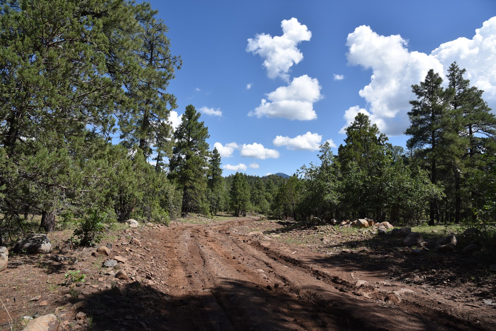
| Stage Station Loop connects with Bill Williams Mtn. Loop. |
 |
| Green meadows and coniferous woodlands along FR 41. |
Rusty cans, bent
nails, bits of beat up metal and piles of fragile, weather-worn planks lie scattered
in a clearing among weeds and wildflowers. (Please leave all artifacts as you found them). Two sets of crumbling, dovetailed timbers hint at what were once corners
of a log structure. Other than these faint relics, the footprint of the station has
been lost to time. Southeast of the historic site, the imposing form of Wild
Steer Mesa hovers over tall Ponderosa pines.
 |
| The Stage Station site sits at the edge of a stony gorge. |
From this point, it’s a 2.6-mile uphill trudge back to where the
route heads left on FR 108 for the final 1.2 mile walk back to the trailhead.
 |
| Bill Williams Mountain on horizon seen from rutted FR 41. |
 |
| Artifacts like this one are strewn around the stage stop site. |
LENGTH: 8-mile loop
RATING: moderate
ELEVATION: 6200 – 6700 feet
 |
| Sunny meadows surround Cow Tank. |
 |
| Barbed wire fences at Cow Tank. |
GETTING THERE:
From Railroad Road and Fourth Street in downtown Williams, go 6.5 miles south on Fourth Street (Fourth Street will turn into Perkinsville Road/County Road
73) to Forest Road 108. Turn right and go or 8.3 miles to the east trailhead or
9.5 miles to the “official” west trailhead.
NOTE: The trail
can also be accessed via the Devil Dog exit 157 on Interstate 40. However, the
westbound exit ramp was closed as of this writing, so you’d need to swing
around at the Welch exit 151 and backtrack. From the exit, go 8.8 miles south
on Forest Road 108 to the main trailhead.
Forest Roads are
good gravel/dirt suitable for passenger vehicles.
INFO: