BASALT RIDGE
OVERLOOK
 |
| Chunks of lichen-encrusted basalt litter the Basalt Ridge Trl. |
Whether you’ve
only skimmed its core trails or are a seasoned traveler of Scottsdale’s
McDowell Sonoran Preserve, it’s easy to see that the 30,500-acre site is a
wonderland of geological features.
 |
| Distinctive Cone Mtn. flanks the trails. |
 |
| Brittlebush is plentiful along the route. |
 |
| Upper Ranch Trail traverses the saddle of Brown's Mtn. |
 |
| Invasive mistletoe attracts Phainopela birds. |
In the preserve’s
north sector, several popular routes wind among the impossible-to-miss mounds
of Granite and Cholla Mountains that anchor a landscape of crystalized
megaliths, nature-sculpted “mushroom rocks” and stony passages, while other
trails wander off into areas with quieter dynamics. As trail build-out progresses within the
North Valley preserve, more and more subdued places are being revealed.
 |
| Wolfberry shrubs thrive in moist areas. |
Take
for instance, the Basalt Ridge Trail. Like
most trails in the preserve, the short singletrack can be accessed via
numerous connecting trails. One scenic
option is to start at the Brown’s Ranch Trailhead and take the Upper Ranch
Trail. The beauty of this circuit is that it departs the heavily-travelled main
corridor almost immediately. The Upper
Ranch Trail glides northward over the saddle between the pointed form of Cone
Mountain and flat-topped Brown’s Mountain before descending into a sunny
stretch of desert cut with sandy washes, arroyos and impressive vistas of the
Cave Creek Mountains. Where water
settles in the drainage areas, fragrant patches of Triangle-leaf bursage,
fruit-laden wolfberry shrubs, colorful masses of in-your-face brittlebush
flowers and creamy Desert wishbone blooms put on lavish botanical
displays. Roughly 1.6 miles from the
start, fist-sized globs of rust-and-ash-colored rock begin to appear scattered along the route.
 |
| Brown's Mtn. framed by blooming creosote. |
Look closely and you’ll
see the characteristic vesicular texture (holes formed by escaping gasses) of
volcanic basalt. Unlike the showy, igneous granites that formed underground
millions of years ago, this basalt is the result of surface lava flows or
explosive events that also contributed to the site’s geological structure. At the 1.8-mile point, the Basalt Ridge Trail
veers off the Upper Ranch Trail tracing the crest of a low-slung rim.
 |
| Desert wishbone bush. |
A
half-mile and two junctions later, the Basalt Ridge Overlook spur leads to the
nose of the rim perched above desert lowlands criss-crossed with dry washes and
acres of mesquite.
 |
| Mountain views on Upper Ranch Trail |
 |
| Triangle-leaf bursage grows near washes. |
From this tiny
vantage point, views of the Four Peaks in Tonto National Forest to the east
peek over Granite Mountain while the closer forms of Pinnacle Peak and Tom’s Thumb
are visible to the south. Closer still are glimpses of the acres of preserve land set for
future trail development that will undoubtedly add more surprises and deeper
perspectives into this complex and beautiful terrain.
 |
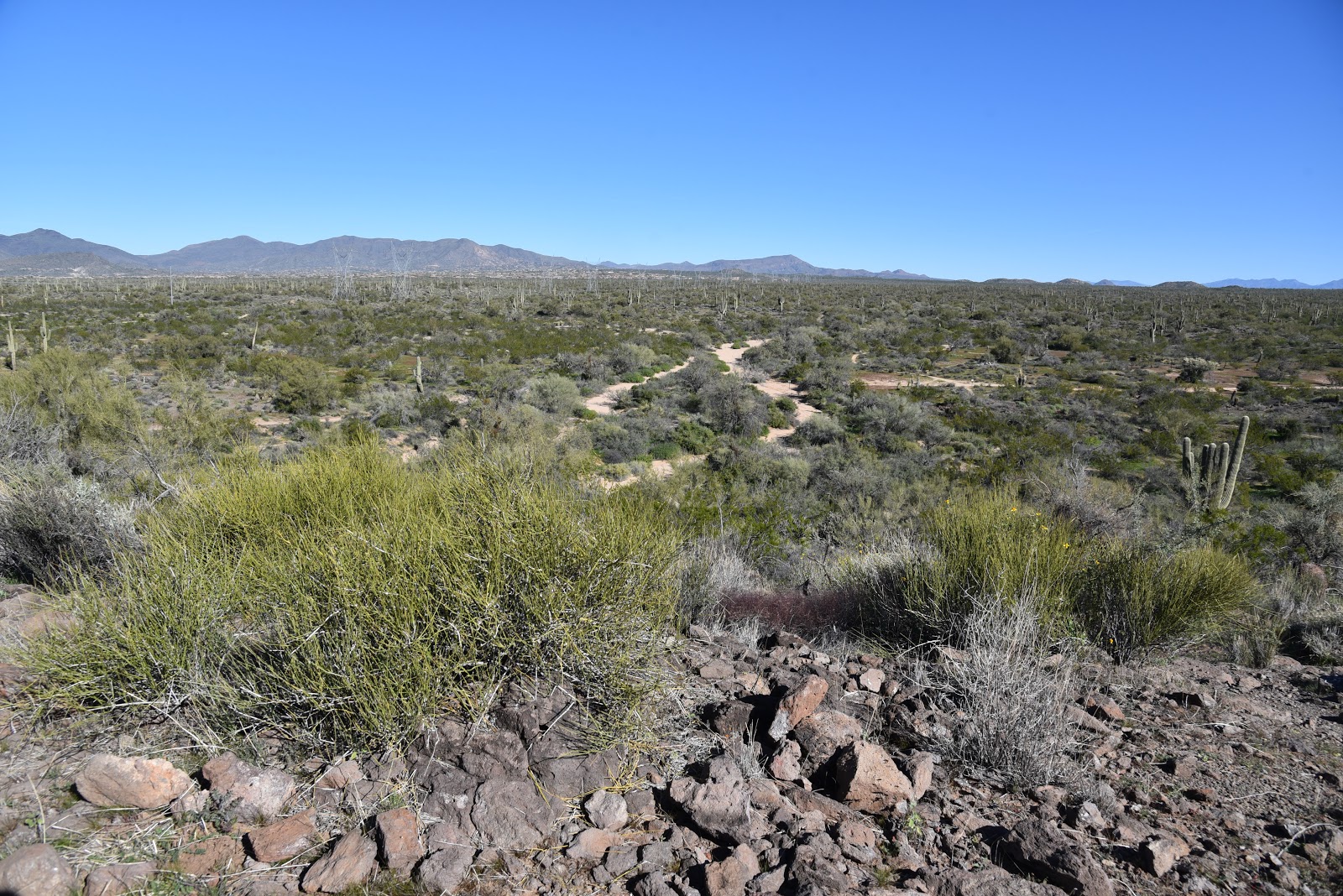
| Cave Creek Mountains seen from the Basalt Ridge Trail |
 |
| View from Basalt Ridge Overlook |
LENGTH: 4.8
miles out-and-back
RATING: easy
ELEVATION: 2632 – 2741 feet
GETTING THERE:
Brown’s Ranch
Trailhead,
30301 N. Alma
School Rd., Scottsdale, 85262.
From Loop 101 in Scottsdale, take the Pima/Princess exit 36,
travel 6.5 miles north on Pima to Dynamite Road. Turn right and continue 2.7 miles to Alma
School, turn left and drive 1 mile to the trailhead. The preserve is open
sunrise to sunset daily.
There are
restrooms, water and a map kiosk at the trailhead.
INFO & MAPS: