Find A Trail. Start Your Search Here:

Wednesday, January 9, 2013

A hike among picnic tables and dance floors


T-BONE-MAX DELTA-CROSSCUT-MA HA TAUK LOOP
South Mountain Park, Phoenix
NOTE: as of 2020, these trails have been rerouteded and/or incorporated into the Hau'pal and Ma Ha Tauk Perimeter trails. See park website for updates. 
What to do?  It was Christmas morning and I found myself without a hiking partner---they were all sleeping in, wrestling wrapping paper or prepping for guests. Given that I was not about to waste a day off by not going for a hike, I decided to take a traipse on 
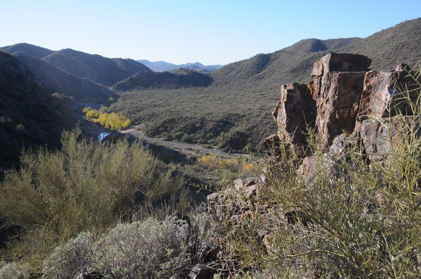
a heavily used trail located in a very busy part of South Mountain Park (SoMo).  That way, if I became incapacitated, someone would see me---or the brand new fluorescent green shirt from Wal-Mart that Santa brought me.  The southernmost edge of suburban Phoenix dead-ends at the park boundary, and T-Bone Trail flanks a subdivision for most of its 1-mile length.  It then connects with Max Delta Trail, which weaves among picnic ramadas, outdoor dance floors and paved roads.  In terms of scenic quality when compared to other SoMo routes, this trail is more gristle than T-bone, but for a quick solo hike or leg stretch while picnicking, it makes for a satisfying journey.
entrance to a dance floor

HIKE DIRECTIONS:
The start of the T-Bone trail is not signed.  It’s located at the far east side of the parking lot at the break in the curb next to a no parking sign. From here, hike 1 mile east on T-Bone Trail to the Max Delta junction.  Turn right (south--toward the road) and go 0.25 mile to the Crosscut Trail junction.  Turn left and follow Crosscut 0.5 mile to Ma-Ha-Tauk Trail, turn right and hike 1 mile back to the trailhead.


LENGTH: 2.75-mile loop
RATING: moderate
ELEVATION:  1300' - 1770'
PARK HOURS: 5 a.m. - 7 a.m.
FACILITIES: restrooms at the big picnic ramada
INFO:  City of Phoenix Parks & Recreation, 602-262-7393
GETTING THERE:
Form Phoenix, travel south on 7th Ave to Baseline.  Turn right (west) and continue on Baseline to 19th Ave. Turn left (south) and follow 19th Ave to the end where there's a small parking lot and trailhead sign.  The hike begins at the east end of the parking area (not at the Ma-Ha-Tauk sign) where a dip in the curb provides access. There's no "T-Bone" sign here, but you'll begin to see them in about 0.2 mile. MORE PHOTOS:

Monday, January 7, 2013

Wet & winding segments of the Black Canyon Trail


BLACK CANYON TRAIL: K-MINE SEGMENTS
Near Rock Springs
Agua Fria River, January 5, 2013

"bridge" over Slate Creek
our crossing point
Running from the flat desertland near Carefree Highway in north Phoenix to the foothills of Prescott’s Bradshaw Mountains, the entire course of the 70+-mile Black Canyon National Recreation Trail is a scenic wonder.  In its former lives, the trail served as a wagon road and cattle drive route before being repurposed into its current status as a non-motorized hiking, biking and equestrian trail.  Although an end-to-end trek would be a worthy endeavor, the segments that run through the Agua Fria River Canyon are, in my opinion, the "jewels in the crown" and therefore, the best place to sample the trail.   In a nod to this attraction, the good folks of the Black Canyon Trail Coalition and the BLM created a large, easy-access trailhead right in the heart of the trail's glorious, watery mid-section.  A 0.8-mile spur path leads directly to the Horseshoe Bend- K-Mine segment junction.  Go south (left) for Horseshoe Bend (see separate blog entry) or north (right) for K-Mine as described here. Either segment will get you to the river gorge goodies in a jiff. The spur path is so immaculately groomed it looks as if it was landscaped----gigantic saguaros and a rich under story of brittlebush, ironwood and Palo Verde seem impossibly lush for a ridge located less than a mile from I-17.  The junction appears at the top of  the ridge, and then traverses a geological Garden of Eden.  Snowy-white quartz, ancient metamorphics and massive outcroppings of crumbling stone decorate an ever-changing roller coaster ride of twists, turns, dips and climbs.  Once over the crest, get ready for jaw-dropping views of the Agua Fria River and it's scoured floodplain rolling out hundreds of feet below. Here the trail begins its descent along skinny hairpin coils carved from the cliff face.   At the bottom of the canyon, the trail meets the boulder strewn sandy shores of the river where the path is swallowed up in a riparian corridor of Gooding willows, reeds and salt cedar.  To stay on track, look carefully across the waterway and you'll spot trail signs for a clue about how best to navigate the quagmire.  Agua Fria water levels vary from barely there to raging torrents, but as long as you plan to avoid peek snow melt season or the days after heavy rains, you should be able to hop the river with just muddy soles. Beyond the water, the trail jogs up-and-down through the bluffs surrounding Slate Creek (no water on our trip) then follows an old Jeep road to segment's end. 
overlooking the Agua Fria from K-Mine segment

LENGTH:  8.4 miles out-and-back
Access path: 0.8 mile
K-Mine South: 2.0 miles
K-Mine North: 1.4 miles
RATING: moderate  (creek crossing)
FACILITIES: restroom at trailhead
ELEVATION: 1680' - 2070'
GETTING THERE:
From Phoenix, travel north on I17 to exit 242 for Black Canyon City/Rock Springs.  Go West (left) and continue to the stop sign.  Turn north (right) here and proceed about 300 feet to Warner Road on the left.  There's also a sign for Black Canyon Trail here.  Follow Warner Road roughly 0.2 mile, turn right onto the first crossroad and follow it to the trailhead a few hundred yards ahead.  Warner Road is good dirt, passable by sedan.

INFO: Black Canyon Trail Coalition
MAP: International Mountain Bicycling Association:
MORE PHOTOS: