FLAGSTAFF'S FAY CANYON
 |
| Fay Canyon |
Not to be
confused with the Fay Canyon Trail in Sedona, Flagstaff’s version is a totally
different experience. The meandering trail that follows the course of a gully
that feeds into majestic Walnut Canyon southeast of town is a mellow, woodsy
walk. Located just east of the
heavily-traveled Sandy’s Canyon trail off Lake Mary Road, the Fay Canyon route
is a quieter trek with similar qualities.
 |
| Creeping Barberry |
The unsigned route is a little tricky to
follow. Hike up Forest Road 9477B to the 0.3-mile point, veer left at a gate
and pick up a single track heading north.
For reference, there’s a sign warning of heavy horse traffic a few yards
down the trail.
 |
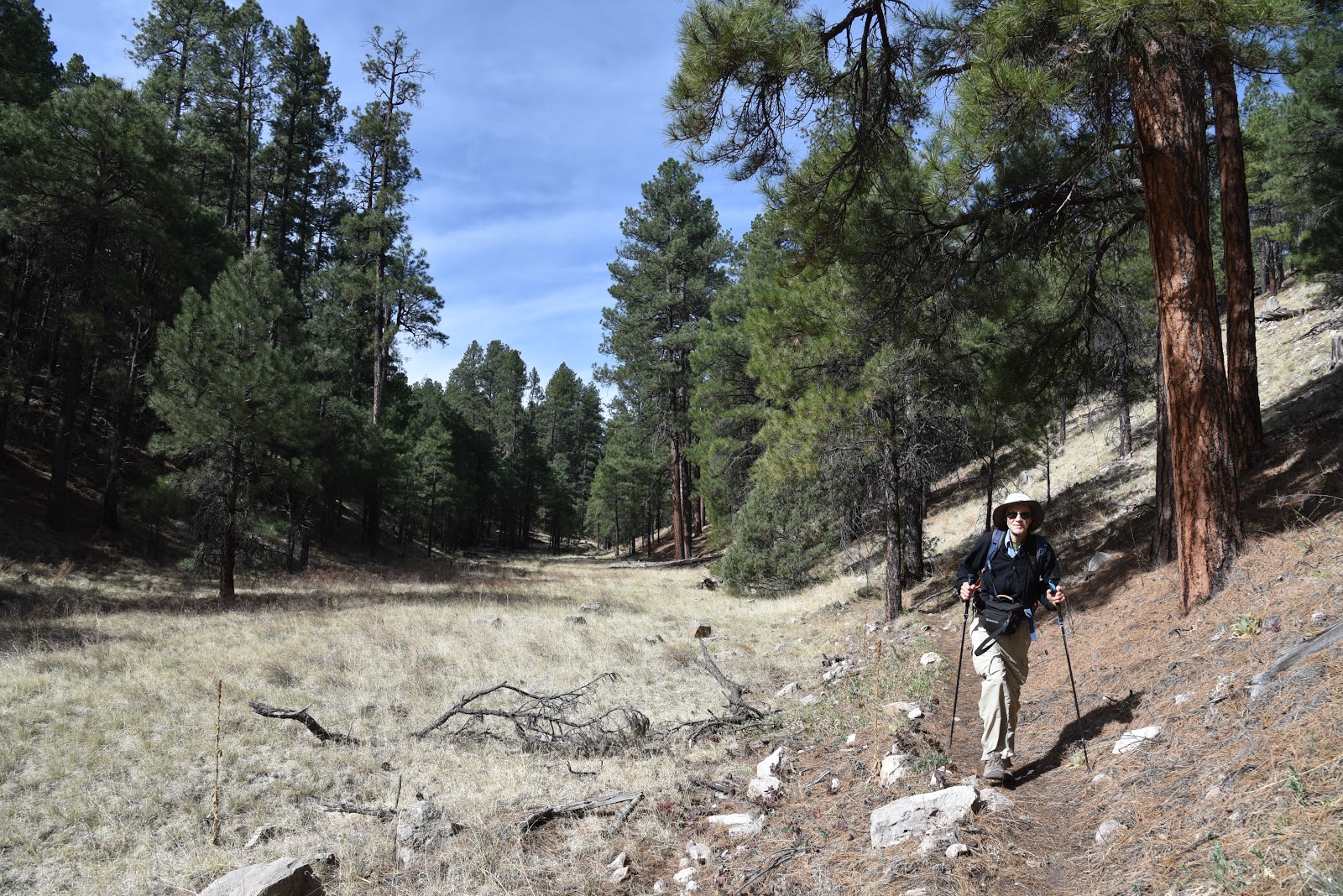
| A ravine bisects Fay Canyon |
Within a short distance,
the trail makes a sharp turn to the right and begins a downhill plunge on long
switchbacks. This piney segment decends on an easy grade to emerge in at the head of the canyon. Over the next two miles, the gorge gradually transforms
from a steep-walled sliver to a gaping valley. Bisected by a water-scoured
ravine, the canyon has horse trails on both banks. These can be confusing, but
they eventually merge. Just keep heading north and you’ll be fine.
 |
| Arizona valerian |
Along its expanding course, the trail passes
by pockmarked limestone cliffs, rock shelves and shallow caves.
 |
| Fay Canyon |
A closer look
at the limestone reveals crystal-filled geodes, entrenched fossils and glinting
quartz nodules.
 |
| Tiny crystals in limestone |
In moister areas beneath
the mixed conifer canopy, an understory of thorny-stemmed wild roses,
gooseberries and willows grow in profusion among clumpy grasses and patches of
creeping barberry, Arizona valerian and daisies galore.
At the 2.6-mile
point, the trail ends in an airy meadow where the Arizona Trail passes through.
 |
| Lizards are easy to spot in Fay Canyon |
This is the turnaround point for an
out-an-back hike, however, trail signs show distances for continuing to the Flagstaff
Urban Trails System, Marshall Lake or Fisher Point. One fun option is to make the short, but steep
walk up to Fisher Point. Known for wild winds that churn up speed as they
funnel through a network of forested gorges, the area surrounding Fisher Point
is a fascinating enclave of contorted rock formations softened by wildflower
fields and swaying pines.
 |
| Dunes beneath Fisher Point |
To get to the
lookout point 400 feet above the major trail junction, follow the signs
1.2-miles and enjoy the breezy vistas.
 |
| Wild rose |
 |
| View from Fisher Point |
LENGTH: 2.6 miles one-way for Fay Canyon, or 8.2 miles round trip
with Fisher Point option.
RATING: moderate
ELEVATION: Fay Canyon : 6,620'-6,950' or
7,033' to Fisher Point
GETTING THERE:
From Flagstaff, go 4 miles south on Lake Mary Road to S.
Wildlife Road (at the “Hitching Post Stables” sign). Turn left and drive
a few yards to a “T” intersection, veer left and continue less than 0.1 mile to
the sign that reads Walnut-Skunk-Fay Closure Area, No Motor Vehicles. Parking is very limited. Please respect
private property in the area by not blocking roads or driveways.