WEST FORK OF OAK CREEK
Sedona
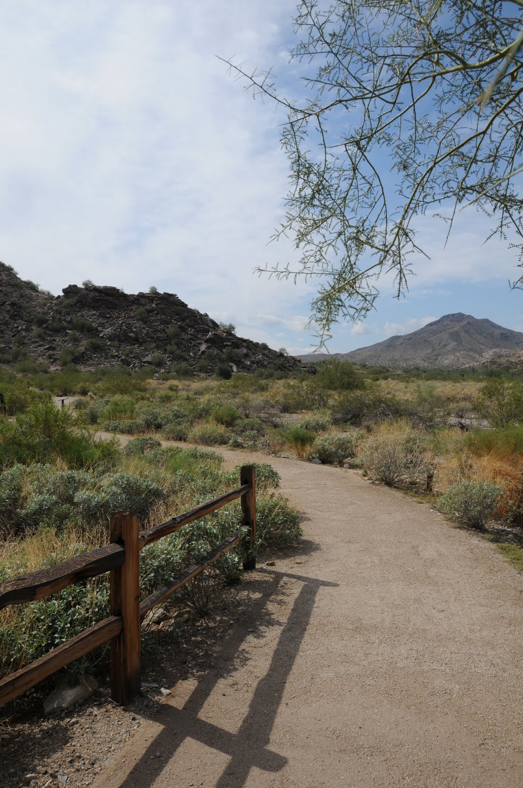
Nine bucks. That’s what you'll shell out to visit this iconic Arizona hiking trail. Worth it? Absolutely! Because of its outstanding scenic qualities, this trail draws hoards of visitors from all over the globe. Today, I heard at least 5 different languages being spoken on the trail. The first .33-mile segment is barrier free, winding through an apple orchard flanked by soaring red rock ramparts on the west and the creek on the east. The pavement ends at a collection of early 20th century ruins. Here, the route turns to sandy dirt, following the stream up the canyon. Entirely canyon-bound, the path stays close to the water. Expect to make at least 12 creek crossings (one way) over the 3-mile course. Stepping stones and fallen logs serve as natural bridges, but during high-water periods, wading is required. Past the 2-mile point, the trail narrows and crowds tend to thin out. As the canyon closes in, vegetation goes viral—wildflowers, brambles, alders, maples, willows, dogwoods and countless vines cloak the route in an eerie veil of green. The official forest service trail ends at the 3-mile point. (This works out just fine because most of the really cool sights happen in this short segment). From here, there’s roughly
another half-mile of decent trail before steep cliffs, abysmal pools and a quagmire of underbrush swallow the route. Hiking beyond this point requires swimming, wading and advanced canyoneering skills---proceed with caution.
LENGTH: 3.3 miles one-way (on trail) OR up to 14 miles (with wading, swimming & climbing)
ELEVATION: 5,280’ – 5,520’
RATING: easy (on trail), moderate –difficult beyond trail’s end
GETTING THERE:
From Phoenix, go north on I-17 to exit 298 (Oak Creek-Sedona) for SR 179 North. Go left (west) on SR179 and continue to the “Y” intersection (roundabout) with SR89A in Sedona. Veer right (northeast) on 89A and go 10.3 miles to the Call of the Canyon Day Use Area (between mileposts 384 & 385) on the left (west) side of the road—sign will read ‘West Fork”. Roads are 100% paved.
DISTANCE FROM PHOENIX: 135 miles one-way
FEE: $9 daily fee per vehicle (up to 5 passengers). $2 per person daily fee for walk-in or bike-in.
HOURS: 9 a.m. to 8 p.m. (summer), 9 a.m. to dusk (winter). The gate usually opens around 8 a.m.. Use the self-pay kiosk if an attendant is not available.
DOGS: leashed dogs okay—bring poo bags and pack out all pet waste.
FACILITIES: restrooms
MORE PHOTOS:
INFO: Coconino National Forest, Red Rock Ranger District