Find A Trail. Start Your Search Here:

Showing posts with label Pusch Ridge Wilderness. Show all posts

Monday, December 17, 2018

SUTHERLAND TRAIL

SUTHERLAND TRAIL
Sutherland Wash in Catalina State Park
Amazing geology, abundant wildlife and a fantastic fusion of terrains are just a few of the many features of the Sutherland Trail in Tucson.
Views of Pusch Ridge and the Santa Catalina Mtns.
The 9-mile route that begins as a groomed path in Catalina State Park and ends near the top of Mount Lemmon where it intersects the Arizona Trail melds a collection of tame walks and grueling mountain climbs.  The trail’s dramatic mood shifts can be attributed to the contrasting ambiences of the park, Coronado National Forest, Pusch Ridge Wilderness and a protected Desert Bighorn Sheep Management Area.
Fascinating geological features are everywhere.
Water pools in Sutherland Wash
Looking west over the Canada del Oro channel.
Whether you’re interested in the full-strength trek or a mild sampler, Sutherland Trail adapts to fit.  The trail’s first 2.6 miles are within park boundaries and make for an approachable stroll with minimal climbing.  The well-signed route complements the park’s diverse repertoire of trails, offering a customizable, visually-rich journey.
The beautiful Santa Catalina Mountains.
An Arizona Ash tree frames a saguaro-cluttered ridge
Ocotillos front Pusch Ridge peaks.
The route departs the main trailhead, tracing the sandy course of Sutherland Wash at the base of the Pusch Ridge and the Santa Catalina Mountains.  Draped by mesquite trees and flanked by a wall of massive saguaros, this easy passage puts the granitic pinnacles and deep fractures of the Catalinas front-and-center. Soaring to over 8000 feet, the geologically complicated mountains are the result of millions of years of upheavals, volcanism and erosion that’s still shaping the landscape today. 
At the edge of the park boundary, the trail feels more wild.
Within a half-mile, the trail makes a dip into the wash where a smattering of velvet ash, willow and other riparian trees sink their roots deep into the sandy pediment.  During wet periods when water shimmies over the soft channel, hikers must use stepping stones and sandbars to hop the rivulets. 
Stream terraces seen from Sutherland Trail
A few steps beyond the crossing on a knoll above wash, a metal sign gives a fly-over explanation about the formation of the mountains seen across the wash.

For a more detailed account,  geek out over  A Guide to the Geology of Catalina State Park and the Western Santa Catalina Mountains by John V. Bezy.
Saguaros and riparian plants grown in close proximity.
It’s available as a free e-book on the park website.
Stepping stones and sandbars assist wash crossings
Just around the bend at the junction with the park’s 2.3-mile Canyon Loop circuit, the trail begins its uphill assault. 
Reflecting pool near the Canyon Loop Trail junction
The Sutherland Trail passes through bighorn sheep territory
For a shorter option, take the easy loop which gains only 300 feet of elevation as it crosses the wash several times on its way back to the trailhead. 
Chollas soak up sun in the savannah-like open range.
Many species of grasses grow along the trail.
From this point, Sutherland Trail ascends to a sunny grassland above the Canada del Oro--a natural, water-carved channel that carries runoff from the watershed of Mount Lemmon.  A short climb up a ridge on wooden steps opens up views of cobbled stream terraces and the Tucson Mountains to the west. 
Soaptree yuccas in the Pusch Ridge Wilderness Area
Replete with cholla, wild grasses and fruit-bearing shrubs, this open savannah-like segment ducks in-and-out of the wilderness and the bighorn sheep management area on a slender, meandering single track. Before roaming through the sheep recovery area, it's smart to read up on how to do so responsibly by visiting the Arizona Game and Fish Department website https://www.azgfd.com/hunting/species/biggame/bighornsheep/. Also, as sheep are easily disturbed by dogs, please leave Fido at home. 
As it passes among jointed boulders stuffed with crystalized quartz, patches of mesquite, floodplains and soaptree yuccas growing from cracked, stone outcroppings, the route takes on a more primitive feel.   At the 2.6-mile point, it’s decision time.  To continue on Sutherland, head right at the Trail Link junction for a difficult ascent up toward Mount Lemmon. For an 8.8-mile loop, follow the link 2.2 miles, and take the 50 Year Trail south back to the park. Otherwise, retrace your steps and enjoy the tour in reverse.
LENGTH: 9.1 miles one way full trail or 2.6 miles one-way for the park segment
RATING: easy to difficult
ELEVATION: 2700 - 8560 feet full trail or 2700-3360 park segment
GETTING THERE:
From Interstate 10 in Tucson, take the Tangerine Road exit 240 and go east to State Route 77 (Oracle Road). Turn left (south) and continue 0.7 mile to the park entrance on the left.
Pay fee at the gate and continue 1.4 miles to the trailhead.
DOGS: leashed dogs are allowed in the park but may not enter the Desert Bighorn Sheep Management Area.
FEE: $7 daily fee per vehicle.
INFO: Catalina State Park
Arizona Game and Fish Department, Bighorn Sheep information:
https://www.azgfd.com/hunting/species/biggame/bighornsheep/

Monday, January 18, 2016

FINGER ROCK CANYON TRAIL

FINGER ROCK CANYON TRAIL #42
Pusch Ridge Wilderness, Tucson
Finger Rock Canyon Trail

Commanding the skyline above Finger Rock Canyon is an eponymous stone pinnacle that resembles a clenched fist with its index finger pointing toward the heavens. This is your first clue to the nature of the trail that makes an aggressive, unrelenting ascent of its rugged domain. Finger Rock Trail #42 begins with a moderate walk among massive rock slabs, sheer 
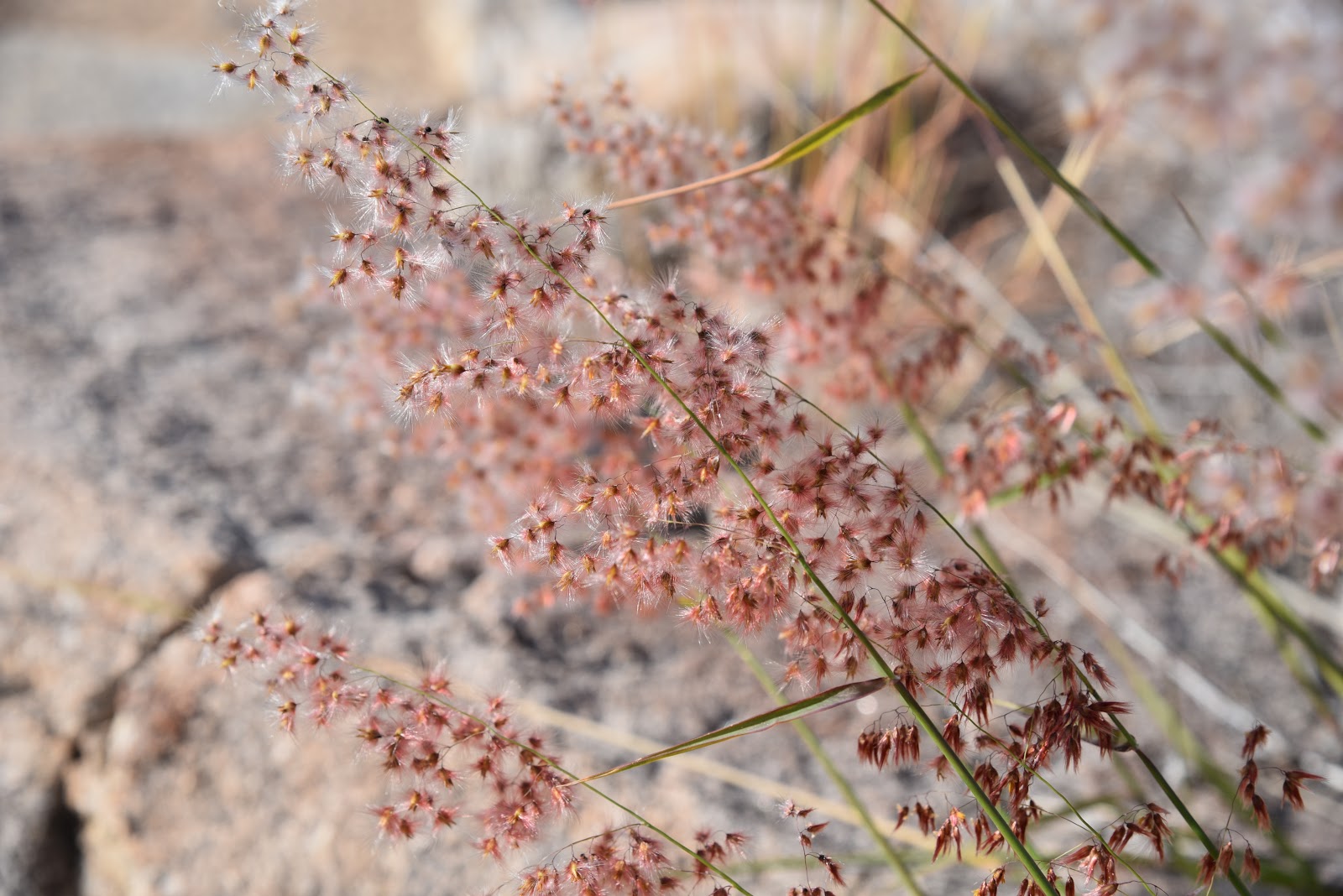
cliff faces, saguaros and seasonal creeks replete with mini waterfalls and lush greenery. But don't get too comfortable because the party's over at the 1-mile point, where just beyond Finger Rock Spring, the trail begins its assault on your physical and mental fortitude. The route wastes no time gaining elevation. Like a giant staircase, the trail moves uphill via tight switchbacks and high-step maneuvers with few breaks in between. Much of the path clings to the edge of the canyon walls offering both terrific views and plenty of queasy exposure. In some spots, you're hiking just inches from sheer drop offs. The canyon's sharp-edged geology, hardy Upper Sonoran Zone vegetation and unspoiled ambiance are a tribute to its protected status within Pusch Ridge Wilderness.
Although the suburbs and industrial parks of Tucson are visible from the trail, the canyon oozes a strong, untamed character. Embrace the wild by inhaling the brisk mountain breezes, listening for tumbling water and the cries of raptors while keeping an eye out for desert big horn sheep creeping along clefts and ridge lines. (To protect the sheep, dogs are not allowed on the trails within the wildlife management area).
Conquering this delightfully agonizing trail is a feather-in-the-cap for experts, but trekkers of all skill levels can also enjoy the hike by adapting the length to suit. The super-high-octane version of this trek includes a side trip up to 7,258-foot Mount Kimball. To reach the summit, veer left at the junction with Pima Canyon Trail #62 at 3.9 miles and hike a half-mile on #62 to the summit spur. Other landmark-specific turnaround points are listed below.
Turnaround options:
Finger Rock Spring: 1 mile, 3,520' (400' elevation gain)
Wind Cave: 2 miles, 4,500' (1,380' elevation gain)
Linda Vista Saddle: 3.5 miles, 5,700' (2,580' elevation gain)
Mt. Kimball: 4.2 miles, 7,258' (4,138' elevation gain)
LENGTH: 6.3 miles one-way (Trail #42 only)
RATING: difficult
ELEVATION: 3,120' - 6,880'(trail #42 proper)
RULES: dogs are not allowed
GETTING THERE:
From Interstate 10 in Tucson, take the Ina Road exit 248. Follow Ina Road to where it curves into Skyline Drive, continue to the 9.6-mile point, turn left on Alvernon Road and go 0.9 mile to the trailhead parking lot on the left. The trail begins a few yards up the road on Alvernon.
INFO & MAP: Santa Catalina Ranger District, Coronado National Forest
Desert Big Horn Sheep: