Ghost of the
Coyote Trail #641
 |
| Much of the Ghost of the Coyote trail follows old roads |
One of the coolest
trail names in Arizona teases of a place steeped in magic and mystery, but the reality of the subject path is decidedly earthy. Ghost of the Coyote Trail sounds like the
kind of name a bunch of weary ranchers would come up with while sharing
stale campfire coffee, a flask of booze and a pot of beans. The experience of hiking the trail aligns with this vision.
 |
| White Mountains vista can be had on the trail highpoints |
With its imagination-seizing moniker, the 13-mile, double loop
trail located just a
mile north of State Route 260 in the town of Linden, drips with cowboy culture in a classic rangeland setting.
 |
| Open range on the long loop |
The 2002
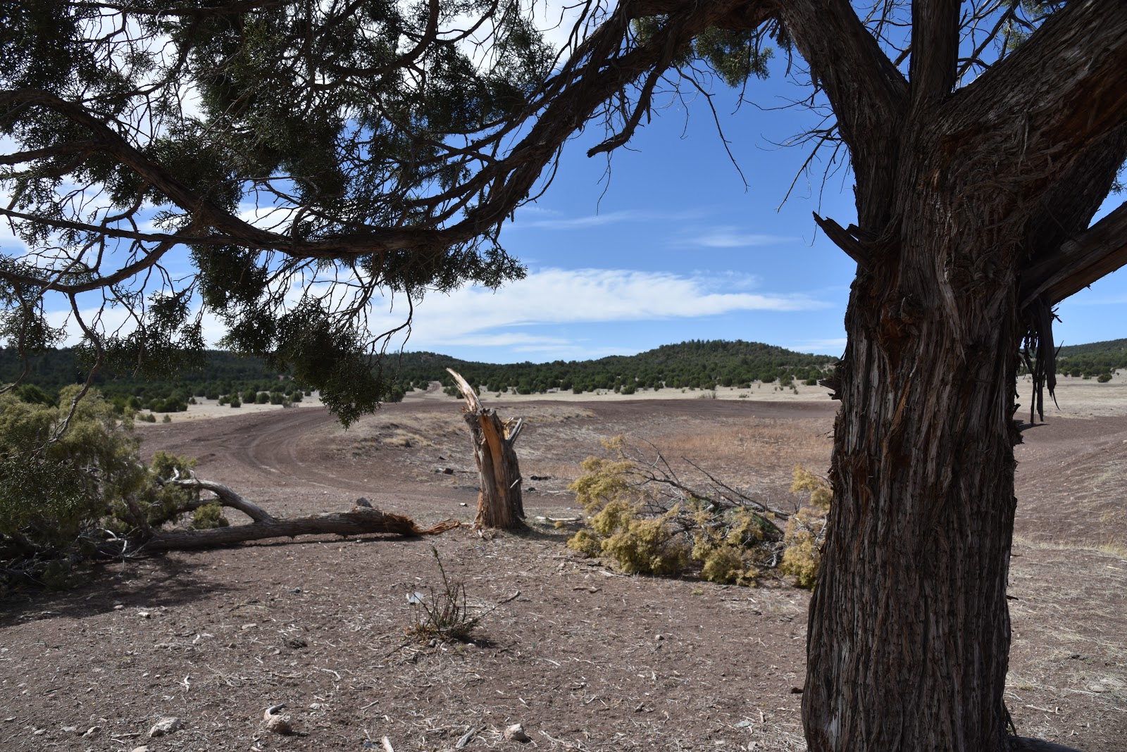
Rodeo-Chediski Fire (the second largest blaze in Arizona history), stripped
many of the big trees along the route, leaving precious little shade. The land
is recovering nicely and most of the charred trees have been harvested or have disintegrated
into tangled piles resting in open prairies fringed with survivor pine-oak
thickets and isolated pockets of high desert yucca and cacti. Although there’s not a lot of elevation
change, the trail ascends several knolls for sweet views of Eastern Arizona’s
White Mountains. From the high points,
the hazy, low-slung profile of Mount Baldy (11,403 feet) and the distinctive
flat top of Escudilla Mountain (10,912 feet) can be seen poking above a jagged horizon.
The well-marked
trail follows old ranch and logging roads sharing several junctions with the
Maverick Motorized Trail system. Many unmarked primitive paths that crisscross
the land can cause minor confusion. Adopted by the White Mountain Trails
System, the Apache-Sitgreaves National Forest route is now marked with white
diamond blazes.
 |
| Bluegrass Tank, one of several stock water holes on the trail |
To stay on track, be sure to located the next marker before moving
ahead. The trail also has location markers posted every quarter-mile that
correspond with downloadable White Mountains Trail System maps. If you pay attention, it’s nearly impossible
to get lost here. Another appealing
feature of this route is that it can be done as either a 13-mile giant loop or
two shorter ones. Beginning from the
main trailhead on Burton Road, follow the access trail 0.2-mile to the
beginning of Loop 1 and head out in either direction.
 |
| Location markers like this one guide hikers through the loops |
This compact 5.71-mile option packs in a
great deal of variety with stock tanks, meadows, vista points, shady enclaves
and inevitable cattle encounters.
 |
| The trail winds through ranch country |
Roughly halfway through the loop, look for the shortcut passage marked
with yellow dots to circle back to the start point, otherwise, continue onto Loop 2 as it enters sunny grasslands and sprawling ranches.
 |
| The trail is marked with white diamond emblems |
Big skies and see-forever views define this airy
swath of cattle country.
 |
| A weather-ravaged trail marker |
You’ll pass
among grazing cows, horse farms, rustic barbed wire gates and plenty more stock
tanks with good opportunities to spot wildlife and maybe even a ghostly coyote skulking
in the scrub.
 |
| Pinion pines provides sporadic share |
LENGTH:
Conflicting
reports state that this trail is ranges from 12 to 16 miles in length. My GPS
recorded 13.5 miles for both loops, not including the shortcut.
Loop 1: 5.71
miles
Loop 2: 7.99
miles
RATING: moderate
ELEVATION: 6000
- 6200
 |
| Gate near Capps Tank |
GETTING THERE:
Main Trailhead,
(short loop access):
From the State
Route 87/260 junction in Payson, go 80 miles east on SR 260 to the town of
Linden. Just before milepost 333, (and 8 miles west of Show Low) turn left onto
Burton Road (Forest Road 134) and continue 1 mile to the trailhead on the left.
Long Loop access:
From SR 260 in
Linden, go north on Pinedale Road (Forest Road 129) at milepost 227 and
continue 1.8 miles to the gate at Capps Ranch Road.
INFO & MAP: