DEEP LAKE
 |
| The woodsy approach to Deep Lake |
Located roughly
20 miles southeast of Flagstaff, the windy plains of Anderson Mesa are home to
a cluster of Arizona’s rare natural lakes. Conspicuous among the bodies of
water that are collectively known as the plateau lakes are Ashurst, Kinnikinick
and the massive, yet sometimes dry Mormon Lake—the state’s largest organic puddle.
Along with nearby Upper and Lower Lake Mary, these high-county lakes are
popular with anglers, boaters, campers and hikers trekking the adjacent Arizona
Trail Passage 30.
 |
| A residual puddle in Als Lake attracts wildlife |
Besides the
obvious behemoths, dozens of smaller much less crowded lakes are scattered across
the dynamic landform in Coconino National Forest.
 |
| Storm clouds build above Anderson Mesa |
These
secluded natural basins formed between 1 and 5 million years ago when subterranean
hollows caved in to form surface depressions that fill with snowmelt water
during high-precipitation years.
 |
| Turkey vultures and ravens soar above Als Lake |
 |
| A livestock exclosure protects Post Lake |
Vacillating
between shallow ponds and mucky swales these ephemeral wetlands serve as
important nesting habitat for waterfowl.
If you’re
lucky enough to have snagged a campsite in the area during the busy summer season,
and want to escape the masses, take a stroll to one of the most impressive and surprising
of the mesa’s lesser-known lakes.
 |
| Snags on the rim of Deep Lake |
The out-and-back
hike to Deep Lake is actually a three-fer because the route, which follows
Forest Roads 9117F and 82D, passes by three plateau lakes. The trip begins with a half-mile walk on a
rough two-track with great views of the San Francisco Peaks to the north before
the road bends east. Here, where FR 9117F becomes FR 82D, the first of several livestock
exclosure fences installed to protect the sensitive ecosystem from marauding
cattle surrounds the reedy, birdy marsh of Post Lake.
 |
| Butter & eggs bloom in sunny meadows |
After
tracing the lake’s wildflower-rimmed perimeter, the road swings north through an
airy, open-to-the-sky landscape with standout views of 8,449-foot Mormon
Mountain peeking out over golden flatlands. At the 1.1-mile point, the road
begins its fly-by of Als Lake.
 |
| Field bindweed grows along the roads on Anderson Mesa |
A favorite haunt of turkey vultures and ravens,
the elongated swale usually harbors a few residual pools where waterfowl and resident
pronghorn can sometimes be seen lurking among clumpy grasses.
 |
| The impressive crater-like depression of Deep Lake |
The next mile is
a simple walk through fragrant juniper woodlands where rabbits and
deer might dart by as you work your way to the junction with Forest Road 9484D
at 2.3 miles.
For an
optional side trip, FR 9484D leads to Potato Lake, another sizeable yet
moisture-challenged natural lake. (NOTE: I did not take this side trip, but my
map program indicates the road to the lake is about a half-mile long).
Continue another
quarter mile north on FR 82D and soon the gated entry to the Deep Lake
exclosure area comes into view. To preserve the terrain and minimize wildlife
disturbance, travel beyond the gate is open to foot traffic only. A few steps beyond the gate, the trail enters
the enchanting realm of Deep Lake.
 |
| Junipers provide sparse shade and wildlife habitat |
 |
| San Francisco Peaks seen from Deep Lake |
Surrounded by Ponderosa pines, Gamble oaks,
volcanic outcroppings and a community of snags (dead trees used by wildlife for
food and shelter), the crater-like depression of the lake takes your breath
away. Even without water, as it was on my recent visit, the yawning bowl that provides refuge for over 100 bird species is a standard-bearer
for an increasingly rare and fragile ecosystem.
A short footpath leads down the lake’s edge
for a close-up view of a tenacious landscape that continually adapts to unpredictable,
sometimes harsh conditions.
While
visiting the lake, please tread lightly and quietly. Leave no trace and respect
efforts being made to protect this fragile, natural treasure.
 |
| Ponderosa pines shade parts of the hike |
 |
| A gate marks the entrance to the Deep Lake exclosure area |
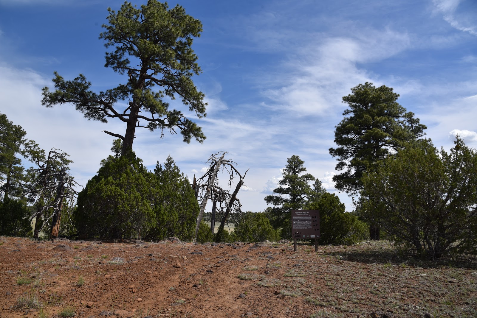
 |
| Approach to Deep Lake |
LENGTH: 6
miles round trip
RATING:
easy
ELEVATION:
6,964 – 7,131 feet
GETTING
THERE:
From
Interstate 17 just south of the Interstate 40 interchange, go right on Lake
Mary Road (County Road 3). Continue 17 miles south and turn left on Forest Road
82E for Ashurst Lake just past mile post 327 across from the turn off for
Pinegrove campground.
Drive 1.7
miles on FR 82E to Forest Road 9117F on the left. Park in pull outs along the road.