Find A Trail. Start Your Search Here:

Monday, August 7, 2017

RED MOUNTAIN TRAIL

RED MOUNTAIN TRAIL
Hiking among hoodoos
Few things in life are certain but what we know for sure is; wet dogs stink, Star Trek is great, some hikers think beer is the fifth food group and Red Mountain is one of the most magical places on earth.  Okay, those first three might be dubious, but the last one---an atypical volcano north of Flagstaff--- offers a singular hike that supports the claim.  If you’re looking for a mind-boggling, surreal experience, forget theme park attractions--Red Mountain is the real deal.
View of Red Mountain from the access trail
Located just off Highway 180 north of Flagstaff, the 740,000-year-old cinder cone offers a rare opportunity to walk inside the guts of a formerly explosive geological wonder.  Although the mountain’s fractured and fabulous form is a sight to behold, geologists aren’t certain about what caused its northeast face to slump away exposing the internal structure.
Inside the volcano
Thousands of years of wind and water erosion have sculpted the mountain’s multi-colored layers of volcanic ash and cinders into craggy pillars and honeycomb walls. Along the short, family-friendly access trail that winds through a pinion-juniper forest, views of the gaping U-shaped collapse give a taste of what’s to come. 
The ladder 
At the 1.24-mile point, the trail meets the inky black cinder slopes at the base of the volcano where a wooden ladder must be climbed to get to the good stuff.
Bizarre pillars of ash
Once inside the volcano, hikers are surrounded by 800-foot escarpments, stony passages and wildly contorted rock columns called “hoodoos”.
Hikers explore a stony passage
Footpaths wander among weather-blasted pinnacles, crevasses and pine trees and shrubs that somehow took root in the cracks.  There’s even a short trek through a tight passage where ongoing erosion washes out bits of shiny black hornblende minerals (often mistaken for obsidian) that collect in glinting streams underfoot. Look overhead to see chockstones (boulders caught in cracks) and lava caps that teeter atop grainy spires like fancy hats. Be sure to bring a fully-charged camera or phone to document the adventure in case you’re asked to prove what you know for sure about this Arizona natural treasure.

A hiker emerges from a tight spot
LENGTH: 3 miles roundtrip
RATING: moderate
ELEVATION: 6700’ – 7000’
GETTING THERE:
From Flagstaff, go 30.5 miles north on US 180 and turn left at the sign for Red Mountain Trailhead near milepost 247. Dirt access road is passable by passenger vehicle when dry.
INFO: Coconino National Forest


Sunday, August 6, 2017

SLATE MOUNTAIN TRAIL #128

SLATE MOUNTAIN TRAIL #128
View of San Francisco Volcanic Field from Slate Mountain
There are a couple of curious things about Slate Mountain. First off, there’s no slate and second, the mountain is much bigger than it appears.
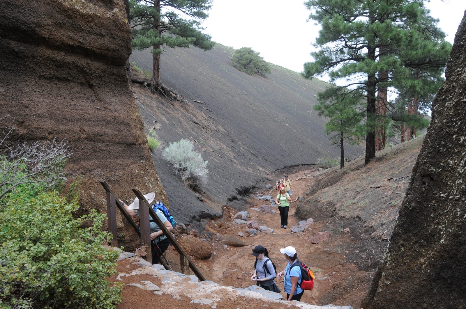
Stansbury cliff-rose shrubs grow to 8 feet high
Part laccolith (a mushroom-shaped blob of magma that formed underground) and part volcano (you know: BOOM), the 8215-foot mountain measures only 853 feet from its base to summit, but geologists estimate that the lava dome that makes up the mountain extends to 5000 feet below the surface.
Cliff-rose scents the trail
So, all things considered, Slate Mountain is a considerable beast. The complicated hill is composed mostly of a pinkish-gray igneous rock called rhyolite which is exposed along its flanks.
Heading up the trail
Kendrick Peak
The “slate” misnomer comes from the flaky appearance of some of the sedimentary and igneous rocks that were contorted during the mountain’s eruptive phase that occurred between 1.5 and 1.9 million years ago.
The "slate" is actually rhyolite 

True slate is a metamorphic stone not found in the area. The trail that climbs to the summit of this unassuming little mound north of Flagstaff doles out gratifying treats at a leisurely, constant pace. One of the first points of interest visible from the trail is the scar from the June 2017 Boundary Fire that swept up 10,418-foot Kendrick Peak. The lightning-caused blaze burned more than 17,000 acres, stopping just short of the Slate Mountain trailhead.
Near the top, the trail makes a sharp swing around the high point for a 360-degree visual smorgasbord. To the north, the San Francisco Volcanic Field rolls out over colorful plains dotted with hundreds of cinder cones and eroding craters. This arc of volcanism stretches from Williams to the area around Sunset Crater. Geologist say this hot spot is still active and predict the next eruption will occur near the Little Colorado River.
It could be years, decades or centuries before the next magma breaks the surface, so until then, the summit of Slate Mountain is a great place to contemplate the emergence of a new volcano amidst the quiet beauty of the Painted Desert, the South Rim of the Grand Canyon and the hazy silhouettes of the Hopi Buttes. 
LENGTH: 5 miles roundtrip
RATING: moderate
ELEVATION: 7360’ – 8215’
GETTING THERE:
From Flagstaff go 26 miles north on US 180 to Forest Road 191 located just past milepost 242.
Turn left and continue 1.9 miles to the signed junction for Slate Mountain, turn right and go 0.3 mile to the trailhead. Forest Roads are rough dirt and gravel. High clearance vehicles recommended. Mat be impassable in wet conditions.
INFO & MAP: