MARCUS LANDSLIDE TRAIL
McDowell Sonoran Preserve
 |
| Marcus Landslide Trail: Oct. 20, 2012 |
 |
| approaching some "mushroom" rocks |
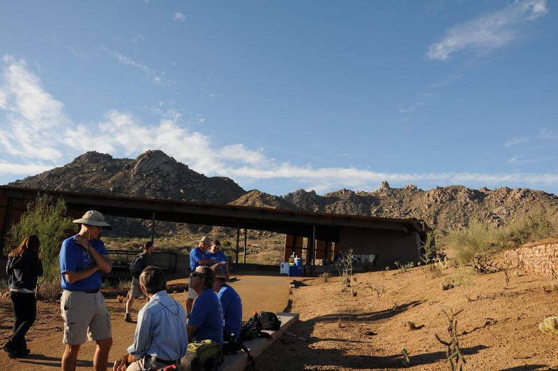
A little bit of history was made this morning as stewards of
Scottsdale’s McDowell Sonoran Preserve stepped out on the inaugural guided hike
of the brand new Marcus Landslide Trail.
Freshly cut, the new route is an homage to the complex
geology of the north side of the McDowell Mountains. Colorful signs along the trail enlighten hikers about the
surrounding terrain---including an explanation of how the area’s signature “mushroom” rocks formed. But of course, the main attraction is
the ubiquitous landslide. I must
add that, to really appreciate this trail, take one of the steward-led
hikes. Our leader today was steward
Don, and I was blown away by all his knowledge and professional speaking
skills. Learn about upcoming
guided hikes here: http://mcdowellsonoran.org/content/pages/guidedHiking
If you didn't know it was there, you'd probably never even
notice this massive slump in the mountainside. Discovered in 2002 by a pair of
local geologists, the nearly mile-long wreckage is
comprised of an estimated 25.8 billion pounds of rubble---that's enough
material to fill Sun Devil Stadium six times. The slide occurred during the Pleistocene Ice Age about a
half-million years ago when a colder, wetter climate may have instigated the
slide which shaved 1,200 feet off the ridgeline releasing energy equivalent to
an atomic bomb blast. The
trail, which is named for former ASU geography professor Melvin Marcus, loops
among the slide's components giving a comprehensive overview of the magnitude
and scope of the event. The hike takes off from the new Tom's Thumb Trailhead
(officially opened Oct. 18, 2012) following an easy grade through typical
desert scrub with views of the Fountain Hills area, Verde River and
Superstition Wilderness. Incredibly, the preserve receives no tax dollars and is
funded entirely by contributions to the McDowell Sonoran Conservancy from
hikers like you (and generous major contributors). This is pretty amazing when
you consider the impressive facilities, quality of staff and meticulous trail
maintenance. So, when you’re
checking out upcoming hikes, leave a donation to help ensure ongoing protection
of our Sonoran Desert hiking trails.
 |
| Preserve steward, Don talks geology |
LENGTH: 3.7-mile loop (4.2 miles with optional side trips)
RATING: easy
ELEVATION: 2800’ – 2,500’
HOURS: sunrise to sunset daily
FACILITIES: restrooms, NO water
DOGS: leashed dogs are allowed on trails but not on guided hikes
FEE: NONE-- unless you take a connecting trail into adjacent
McDowell Mountain Regional Park.
Then, it’s $2 per person---exact change required for the self-pay permit
station.
GETTING THERE:
Tom's Thumb Trailhead:
From the loop 101 in Scottsdale, take the Pima/Princess Road
exit 36 and continue 5 miles north on Pima to Happy Valley Road. Turn right (east) and go 4.1 miles on
Happy Valley to Ranch Gate. Turn right on Ranch Gate, follow it 1.2 miles then
turn right onto 128th St. and continue 1 mile on 128th to the signed trailhead.
Roads are paved (finished just this past week!) all the way.
 |
| Tom's Thumb trailhead |
INFO:
McDowell Sonoran Conservancy: http://mcdowellsonoran.org/home
480-998-7971
McDowell Sonoran Preserve
Earthly Musings: the blog of geologist Wayne Ranney
Arizona Geological Survey
MORE PHOTOS: