|
| The "fort" overlooking Silver Creek Canyon |
 |
| Part of the main pueblo |
 |
| The "fort" as seen from the pueblo |
 |
| Sycamore and cottonwood trees in Silver Creek Canyon |
 |
| The big room at the pueblo |
 |
| Pottery sherds are abundant--please leave them as you found them!! |
 PUEBLO LA PLATA Agua Fria National Monument
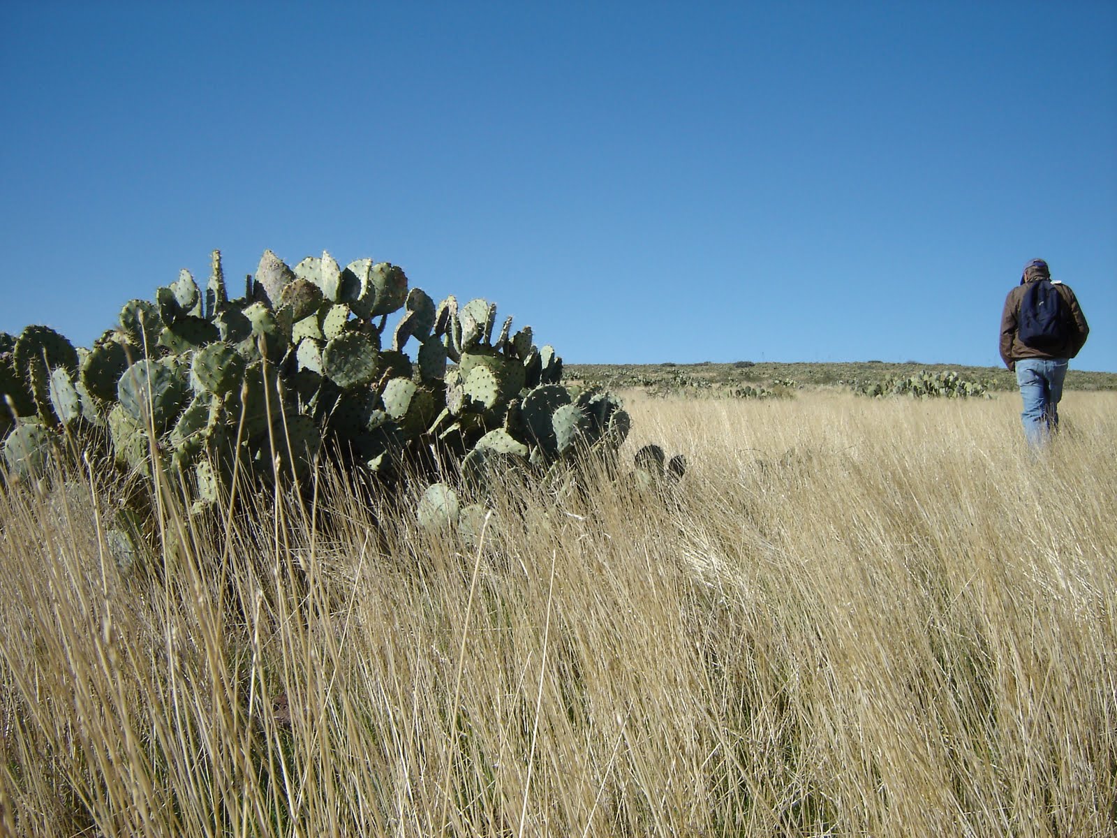
 Also known as the Silver Creek Ruins, Pueblo La Plata is one of seven major prehistoric cities and over 450 archeological sites located on the Agua Fria National Monument. Archeologists say this site was active from the twelfth to fifteenth centuries and contained up to 160 rooms. The hike is a two-part exploratory trek. A good trail leads to the pueblo ruins, while an easy cross-country hike leads to a fort. The pueblo sits upon a rounded mound and although most of the walls are waist high or less, the footprint of the complex is easy to discern. Pottery shards are everywhere so, watch where you step. For those willing to spend time exploring, there are also grinding stones, arrowheads and piles of flint litter to be seen. To reach the fort, head roughly 0.5 mile due west from the pueblo veering toward the rim of the canyon. A low rock barricade extends from the very tip of the mesa above Silver Creek canyon. Here, views of Perry Mesa, the Agua Fria River, and the Bradshaw Mountains are breathtaking. When we visited in mid-November, the cottonwoods and sycamores in the creek where lit up in shades of gold. To extend this exploratory hike, climb down into Silver Creek Canyon. This is best achieved by following an unmarked road heading northeast from the trailhead. It will get you near the edge of the canyon where the scramble down is much less treacherous than it would be from the fort area. There are a few petroglyphs pecked into the canyon walls and a primitive road above the water makes hiking manageable.
NOTE: PLEASE RESPECT THIS NATIONAL MONUMENT BY LEAVING ARTIFACTS AS YOU FOUND THEM. Do not remove or alter anything and watch your step as not to disturb or destroy anything. LENGTH: 3 miles roundtrip (longer if you climb down into the canyon)
RATING: easy
ELEVATION: 3,710- 3,630
BEST SEASON: October - April
GETTING THERE: From Phoenix, go north on I-17, 40 miles to exit 259, Bloody Basin Road. Follow Bloody Basin Road (also signed as FR 269 and 9269) 8.3 miles to FR 9023 on the left. Continue on FR 9023 1.2 miles (go right at the first junction, left at the second and left at the third---just follow the 9023 signs and you’ll be fine) to the trailhead. There’s a cattle gate, green fence and a small sign that reads “parking area” at the trailhead. Pass the gate and follow the dirt road to the ruins.
NOTE: a high clearance vehicle is required and FR 9023 is very rough. Bloody Basin Road looks pretty innocuous in the beginning, but there are some very rugged, narrow sections several miles in that should not be attempted in passenger cars. I
NFO: http://www.blm.gov/az/st/en/prog/blm_special_areas/natmon/afria.html (623) 580-5500


 Posts
Posts


 PUEBLO LA PLATA Agua Fria National Monument Also known as the Silver Creek Ruins, Pueblo La Plata is one of seven major prehistoric cities and over 450 archeological sites located on the Agua Fria National Monument. Archeologists say this site was active from the twelfth to fifteenth centuries and contained up to 160 rooms. The hike is a two-part exploratory trek. A good trail leads to the pueblo ruins, while an easy cross-country hike leads to a fort. The pueblo sits upon a rounded mound and although most of the walls are waist high or less, the footprint of the complex is easy to discern. Pottery shards are everywhere so, watch where you step. For those willing to spend time exploring, there are also grinding stones, arrowheads and piles of flint litter to be seen. To reach the fort, head roughly 0.5 mile due west from the pueblo veering toward the rim of the canyon. A low rock barricade extends from the very tip of the mesa above Silver Creek canyon. Here, views of Perry Mesa, the Agua Fria River, and the Bradshaw Mountains are breathtaking. When we visited in mid-November, the cottonwoods and sycamores in the creek where lit up in shades of gold. To extend this exploratory hike, climb down into Silver Creek Canyon. This is best achieved by following an unmarked road heading northeast from the trailhead. It will get you near the edge of the canyon where the scramble down is much less treacherous than it would be from the fort area. There are a few petroglyphs pecked into the canyon walls and a primitive road above the water makes hiking manageable. NOTE: PLEASE RESPECT THIS NATIONAL MONUMENT BY LEAVING ARTIFACTS AS YOU FOUND THEM. Do not remove or alter anything and watch your step as not to disturb or destroy anything. LENGTH: 3 miles roundtrip (longer if you climb down into the canyon) RATING: easy ELEVATION: 3,710- 3,630 BEST SEASON: October - April GETTING THERE: From Phoenix, go north on I-17, 40 miles to exit 259, Bloody Basin Road. Follow Bloody Basin Road (also signed as FR 269 and 9269) 8.3 miles to FR 9023 on the left. Continue on FR 9023 1.2 miles (go right at the first junction, left at the second and left at the third---just follow the 9023 signs and you’ll be fine) to the trailhead. There’s a cattle gate, green fence and a small sign that reads “parking area” at the trailhead. Pass the gate and follow the dirt road to the ruins. NOTE: a high clearance vehicle is required and FR 9023 is very rough. Bloody Basin Road looks pretty innocuous in the beginning, but there are some very rugged, narrow sections several miles in that should not be attempted in passenger cars. INFO: http://www.blm.gov/az/st/en/prog/blm_special_areas/natmon/afria.html (623) 580-5500