 |
| Joe's Hill as seen from the Sunset Point rest area |


 JOE’S HILL
Agua Fria National Monument
JOE’S HILL
Agua Fria National Monument
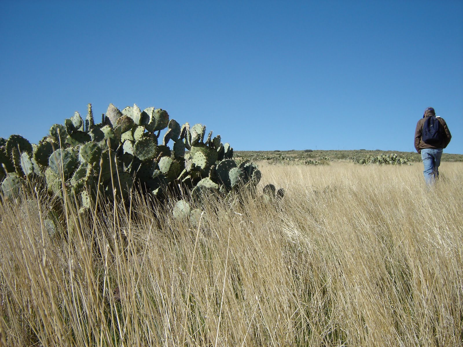
Next time you’re traveling along I-17, make a stop at the Sunset Point rest area near Black Canyon and look east across the freeway. That low mound sitting above the Agua Fria Canyon is Joe’s Hill, a shield volcano like the ones in Hawaii. Although it’s possible to hike to the summit of this hill, you’ll need good route-finding skills, at least a high clearance vehicle and much patience to do so. For geology buffs, this volcano has a lot to explore, but for the average hiker, the big draw is getting to look down into the gorge of Agua Fria Canyon. This is of particular interest to hikers who have explored the canyon from Badger Springs Wash---this hike takes you to the edge of the cliffs above.
LENGTH: 3 miles (exploratory)
RATING: moderate (cross-country, bushwacking)
ELEVATON: 3,600 – 4,045 feet
BEST SEASONS: October - April
GETTING THERE:
From Phoenix, go north on I-17 to Bloody Basin Road (exit 259). Turn right and follow Bloody Basin Rd. roughly 11 miles to Forest Road 14. Go right (south) and continue to the second unmarked dirt road on the right. From here, it’s a quagmire of un-maintained dirt roads---so you’ll basically head toward the mound of Joe’s Hill as far as your vehicle will allow. We got to within a half-mile of the volcano’s base in a Jeep. Do your research, get maps and drive at least a high-clearance vehicle. From your parking spot, head toward the hill and pick your way up.
GPS: N 34.18753 and W -112.06321
INFO & MAP: http://www.blm.gov/pgdata/etc/medialib/blm/az/images/afria.Par.65014.File.dat/aguafriamap.pdf


 JOE’S HILL
Agua Fria National Monument
Next time you’re traveling along I-17, make a stop at the Sunset Point rest area near Black Canyon and look east across the freeway. That low mound sitting above the Agua Fria Canyon is Joe’s Hill, a shield volcano like the ones in Hawaii. Although it’s possible to hike to the summit of this hill, you’ll need good route-finding skills, at least a high clearance vehicle and much patience to do so. For geology buffs, this volcano has a lot to explore, but for the average hiker, the big draw is getting to look down into the gorge of Agua Fria Canyon. This is of particular interest to hikers who have explored the canyon from Badger Springs Wash---this hike takes you to the edge of the cliffs above.
LENGTH: 3 miles (exploratory)
RATING: moderate (cross-country, bushwacking)
ELEVATON: 3,600 – 4,045 feet
BEST SEASONS: October - April
GETTING THERE:
From Phoenix, go north on I-17 to Bloody Basin Road (exit 259). Turn right and follow Bloody Basin Rd. roughly 11 miles to Forest Road 14. Go right (south) and continue to the second unmarked dirt road on the right. From here, it’s a quagmire of un-maintained dirt roads---so you’ll basically head toward the mound of Joe’s Hill as far as your vehicle will allow. We got to within a half-mile of the volcano’s base in a Jeep. Do your research, get maps and drive at least a high-clearance vehicle. From your parking spot, head toward the hill and pick your way up. GPS: N 34.18753 and W -112.06321
INFO & MAP: http://www.blm.gov/pgdata/etc/medialib/blm/az/images/afria.Par.65014.File.dat/aguafriamap.pdf
JOE’S HILL
Agua Fria National Monument
Next time you’re traveling along I-17, make a stop at the Sunset Point rest area near Black Canyon and look east across the freeway. That low mound sitting above the Agua Fria Canyon is Joe’s Hill, a shield volcano like the ones in Hawaii. Although it’s possible to hike to the summit of this hill, you’ll need good route-finding skills, at least a high clearance vehicle and much patience to do so. For geology buffs, this volcano has a lot to explore, but for the average hiker, the big draw is getting to look down into the gorge of Agua Fria Canyon. This is of particular interest to hikers who have explored the canyon from Badger Springs Wash---this hike takes you to the edge of the cliffs above.
LENGTH: 3 miles (exploratory)
RATING: moderate (cross-country, bushwacking)
ELEVATON: 3,600 – 4,045 feet
BEST SEASONS: October - April
GETTING THERE:
From Phoenix, go north on I-17 to Bloody Basin Road (exit 259). Turn right and follow Bloody Basin Rd. roughly 11 miles to Forest Road 14. Go right (south) and continue to the second unmarked dirt road on the right. From here, it’s a quagmire of un-maintained dirt roads---so you’ll basically head toward the mound of Joe’s Hill as far as your vehicle will allow. We got to within a half-mile of the volcano’s base in a Jeep. Do your research, get maps and drive at least a high-clearance vehicle. From your parking spot, head toward the hill and pick your way up. GPS: N 34.18753 and W -112.06321
INFO & MAP: http://www.blm.gov/pgdata/etc/medialib/blm/az/images/afria.Par.65014.File.dat/aguafriamap.pdf
No comments:
Post a Comment