THE BACK ROADS TO
POTATO LAKE
 |
| Thistles around Potato Lake attract pollinators. |
Whether called
crayfish, crawfish, crawdads or aquatic cockroaches, there are two sure things about
the prolific freshwater crustaceans--they harm native species and they love
bacon.
With few natural
agents to control them, the population of non-native crayfish released into
Arizona lakes and streams via bait bucket dumps or other means, has exploded.
 |
| Potato Lake is surrounded by pine forests. |
Their voracious
appetites and territory-hogging talents are decimating indigenous aquatic
wildlife. They consume the eggs and larvae of native fish, amphibians and
reptiles and gobble up critical food supplies.
 |
| Invasive crayfish threaten native species. |
Plus, their nearly year-round
reproductive cycle means they can commandeer a waterhole in no time flat. They
need to go.
 |
| Forest Road 9362T serves as the trail. |
The best way to help eradicate them is to prevent their
introduction in the first place. The second-best way is to catch them with a
dangling wad of raw bacon and cook them up for dinner.
 |
| Tree huggers embrace an aspen. |
If you’re inclined to
the later, pack a net, a propane cook kit with your favorite seasonings and
hike out to Potato Lake.
Although you
could drive to the tiny lake located off Forest Road 300 on the Mogollon Rim, a
hike along two old roads that have been closed to motorized use offers quieter,
alternative access.
From the parking
area in a primitive campsite 2.5 miles southwest of the lake, hike 0.3-mile
north to a “road closed” sign. This is Forest Road 9362T which is open to foot
traffic, bikes and equestrian use only. Following
the remains of a rocky two-track, the route descends toward the lake on a barely
noticeable incline. The 650 feet of elevation loss will be apparent on
the way back.
 |
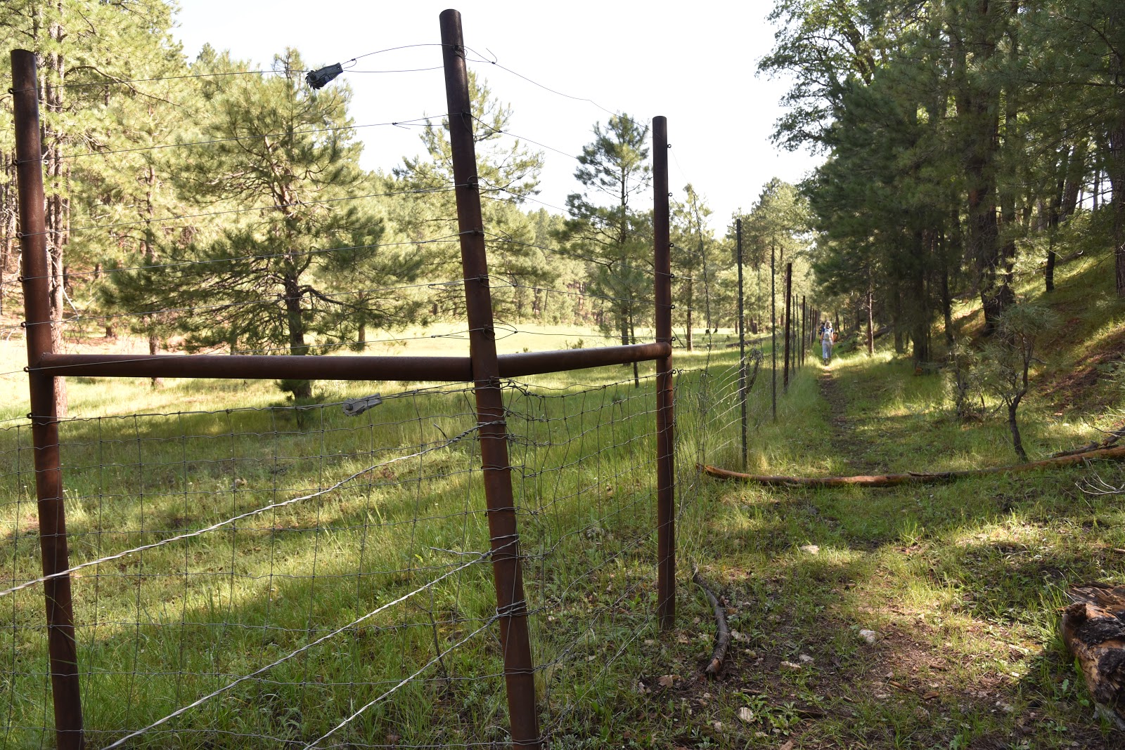
| Fences protect sensitive habitats. |
This lovely path curves northeasterly through woodlands of
Gambel oaks, conifers, New Mexican locust and a smattering of aspens. Except for a few spots where a healthy
understory of ferns and brambles spill over its uneven course, the road
is easy to navigate.
 |
| A hummingbird moth sips nectar. |
At the 1.5-mile
point, take the less-obvious left fork where two metal poles mark a Y junction. Make note of this swerve as it’s easy-to-miss
on the way back. From here, the route vacillates between shaded woods and dewy
meadows with roaming herds of grazing cattle.
At 1.8 miles,
veer right onto Forest Road 147B. This segment flanks yawning draws, sunny
pastures, waterways and pristine canopies that provide habitats for the
endangered Little Colorado spinedace and the Mexican spotted owl.
 |
| A sunny spot on the way to Potato Lake. |
Please respect these pristine ecosystems by
staying on the roads and not cutting or jumping fences.
 |
| Bellowing bovine graze in meadows near the lake. |
 |
| Non-motorized backwoods roads are open to hikers. |
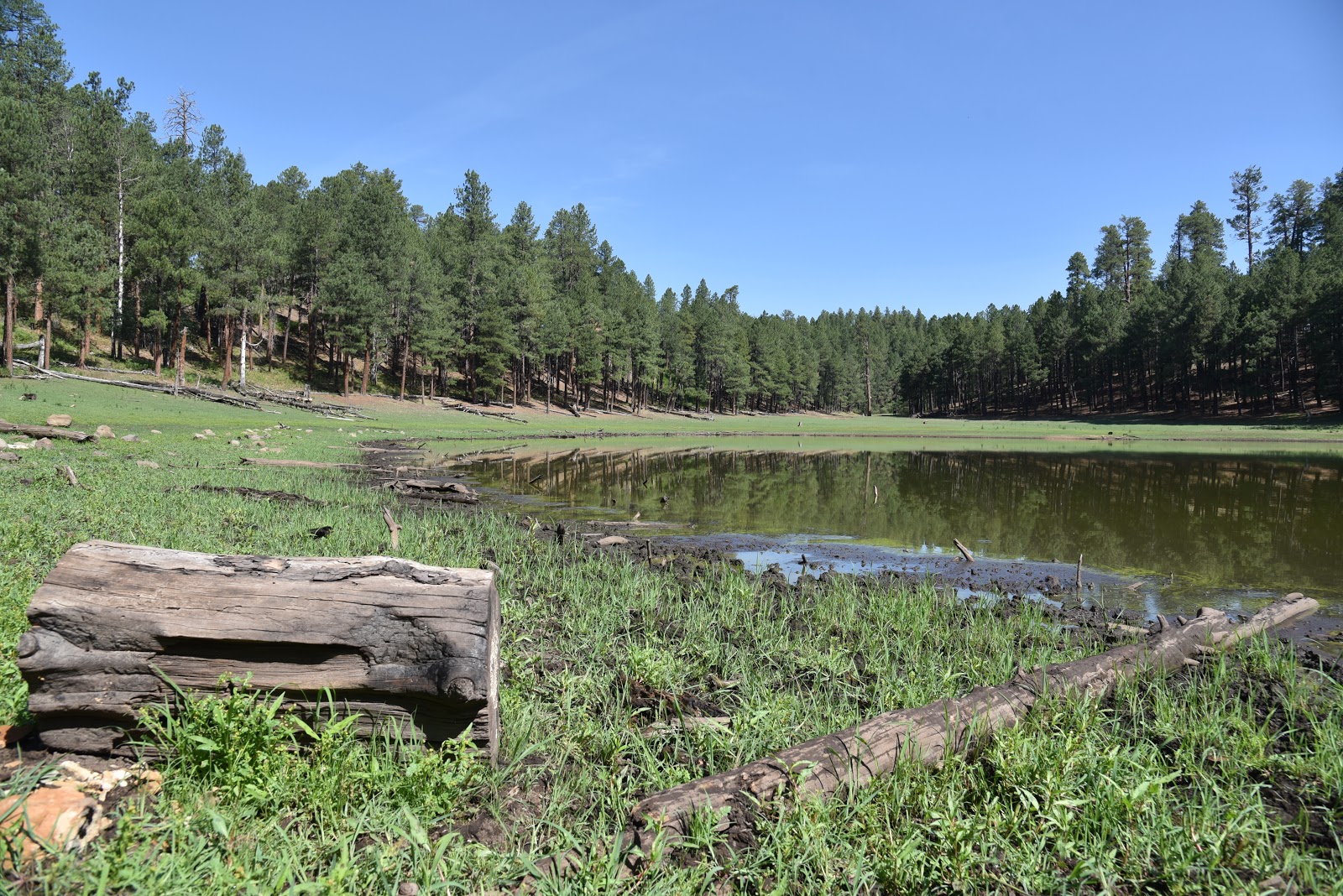
At 2.3 miles, a
cattle gate marks the beginning of the final 0.2-mile walk to the lake. Ringed
with pines, the lake’s water level ranges from puddle to sizable pond depending
on rainfall.
 |
| Potato Lake is a tiny pool on the Mogollon Rim. |
A 0.7-mile walk around the lake’s perimeter reveals clumps of
common silverweed and aquatic buttercups growing from its muddy banks and
fields of purple thistle that attract swarms of pollinators including
hummingbird moths that sip nectar though long curved feed tubes.
 |
| Hikers on Forest Road 147B. |
 |
| Diverse ecosystems around the lake support myriad wildlife. |
Beneath the
lake’s glassy surface, crayfish--which resemble mini lobsters-- stir up mud and
are easy to spot congregating under semi-submerged logs.
 |
| Approaching Potato Lake. |
If you follow Arizona Game and Fish Department rules
regarding their capture and transport, you may harvest as many of these
villainous invertebrates as you like. Boil them lobster-style for a protein-rich
entree that tastes like crab. They’re great with garlic, peppers and corn. Beer
helps.
LENGTH: 5.7
miles out-and-back
RATING: moderate
ELEVATION: 7234
– 7888 feet
GETTING THERE:
From Payson, go
27.7 miles north on State Route 87 to Forest Road 300 (Rim Road) located near
milepost 281. Go 1.7 miles on FR300 to
Forest Road 9362T on the left. If you
have a high-clearance vehicle, descend about 0.1 mile on the rough dirt road
and park in the primitive campground.
The hike begins at the “road closed” sign at the north end of the
site.
INFO:
Coconino
National Forest
Arizona Game & Fish Crayfish information: