Find A Trail. Start Your Search Here:

Showing posts with label Cornville. Show all posts

Friday, November 12, 2021

Verde Valley Wheel Fun

Verde Valley Wheel Fun

A student and coach take on "the Dump"

Verde Valley Wheel Fun gets young people off cell phones and onto mountain bikes in Arizona's beautiful Verde Valley.  VIDEO:

Check out one of the program's week-long training camps here:

https://www.youtube.com/watch?v=chnnngWWc8Q

Learn more about the program:

https://wheelfun.org/

Sunday, April 16, 2017

CORNVILLE NON-MOTORIZED TRAILS

CORNVILLE NON-MOTORIZED TRAILS
View of Mingus Mountain and Jerome from Backbone Trail
Spanning the space Northeast of the Verde River between the communities of Bridgeport and Cornville is a system of trails that just got a shot in the arm. Although the trails have been around for awhile, a recent influx of grant dollars has helped fund new trailheads, signs and fresh trail construction. The Cornville Non-Motorized Trails project is being coordinated by Yavapai County and the Cornville Community Association in partnership with the Forest Service. The overall goal is to establish a 12-mile network of routes to link the two towns. The work-in-progress is coming together quickly and is now open to hiking, biking and equestrian use.
New signs were installed in March 2017
The trails located between Zalesky and Tissaw Roads are mostly complete, signed and easy to follow. This segment of the system is anchored by the Backbone Trail which passes through a wash-riddled high desert with views of Jerome and Mingus Mountain to the west and Sedona to the north.
Backbone Trail
Cliff-rose and paintbrush
Two loops—Zalesky and Side Oats—attach to Backbone making for roughly 6-7 miles of hiking between the two trailheads. The single track dirt and sand paths brush by subdivisions, farm houses and plenty of open country with limestone escarpments and a smattering of juniper trees dotting grassy plains. This exposed landscape hosts a plethora of blooming plants including Cliff-rose, Crucifixion-Thorn, Mormon Tea and dozens of ankle-high wildflowers. Near Tissaw Road, the trail climbs a tiny mound for glimpses of Sedona's House Mountain and the Verde River watershed.
Sego lilies bloom along the trails 
Across Tissaw Road, the system continues to evolve with new construction happening on the Dog Leg, Creosote and Black Grama Loops.


LENGTH: 12 miles total
RATING: easy-moderate
ELEVATION: 3170' - 3560'
GETTING THERE:
Zalesky Road Trailhead (Bridgeport):
From Interstate 17 north of Camp Verde, take the McGuireville exit 293 and go 12.3 miles west on Cornville Road to State Route 89A. Turn left and continue 1 mile to Zalesky Road, turn left and go 0.1 to the trailhead on the left.
Tissaw Road Trailhead (Cornville):
From Interstate 17 north of Camp Verde, take the McGuireville exit 293 and go 11.2 miles west on Cornville Road to Tissaw Road. Turn left and continue 1 mile to the trailhead on the right.


Monday, March 27, 2017

BUBBLING PONDS PRESERVE

BUBBLING PONDS PRESERVE
Blackhawk Trail at Bubbling Ponds Preserve
Hikers who enjoy wildlife viewing will have a heyday at the Bubbling Ponds Preserve in Cornville. Cradled among desert hills, wineries and dewy green zones along Oak Creek, the site has two formal trails that loop among the property’s rare and varied habitats. The flat, soft paths pass through mesquite forests, meadows, cattail wetlands, a warm water hatchery for raising native fish and a shady riparian corridor. Informational signs, viewing benches and observation decks help maximize the visitor experience.
Lower Oak Creek Important Bird Area
Because of its reliable water and favorable nesting niches, the property is a sanctuary for resident and migratory birds, reptiles and mammals including several threatened species. Hikers are practically guaranteed sightings of Great blue herons, Red-winged blackbirds and many common species of waterfowl. With luck, you might also spot a more elusive Snowy Egret, Vermillion Flycatcher or river otter flitting among reeds and willows. In addition to the two main trails, the adjacent Lower Oak Creek Important Bird Area and Page Spring Fish Hatchery offer more miles of wildlife-rich exploratory hiking.
Mesquite forest
Dedicated in May 2016, the preserve is a joint effort between the Arizona Game & Fish Department that owns the property and Northern Arizona Audubon Society which funds site improvements and trail maintenance through private donations. Ongoing Audubon volunteer projects work to eradicate invasive plants and protect sensitive ecosystems while providing public education events and recreational opportunities.
Hatchery ponds for native fish species
LENGTH: 2.3 miles
Black Hawk Trail: 1.8 miles
Willow Point Loop: 0.5 mile
RATING: easy
ELEVATION: 3328' - 3492'
HOURS: open daily dawn to dusk
GETTING THERE:
From Interstate 17 near Cornville, take the McGuireville exit 293, go 8 miles west on Cornville Road, turn right onto Page Springs Road and continue 4.8 miles to the entrance on the left. 
An osprey glides above the ponds
INFO: Northern Arizona Audubon Society
Arizona Game & Fish
Coconino National Forest, 1970 N Page Springs Rd, Cornville, AZ 86325

Monday, May 2, 2016

PAGE SPRINGS HATCHERY NATURE TRAILS

PAGE SPRINGS HATCHERY NATURE TRAILS
Cornville
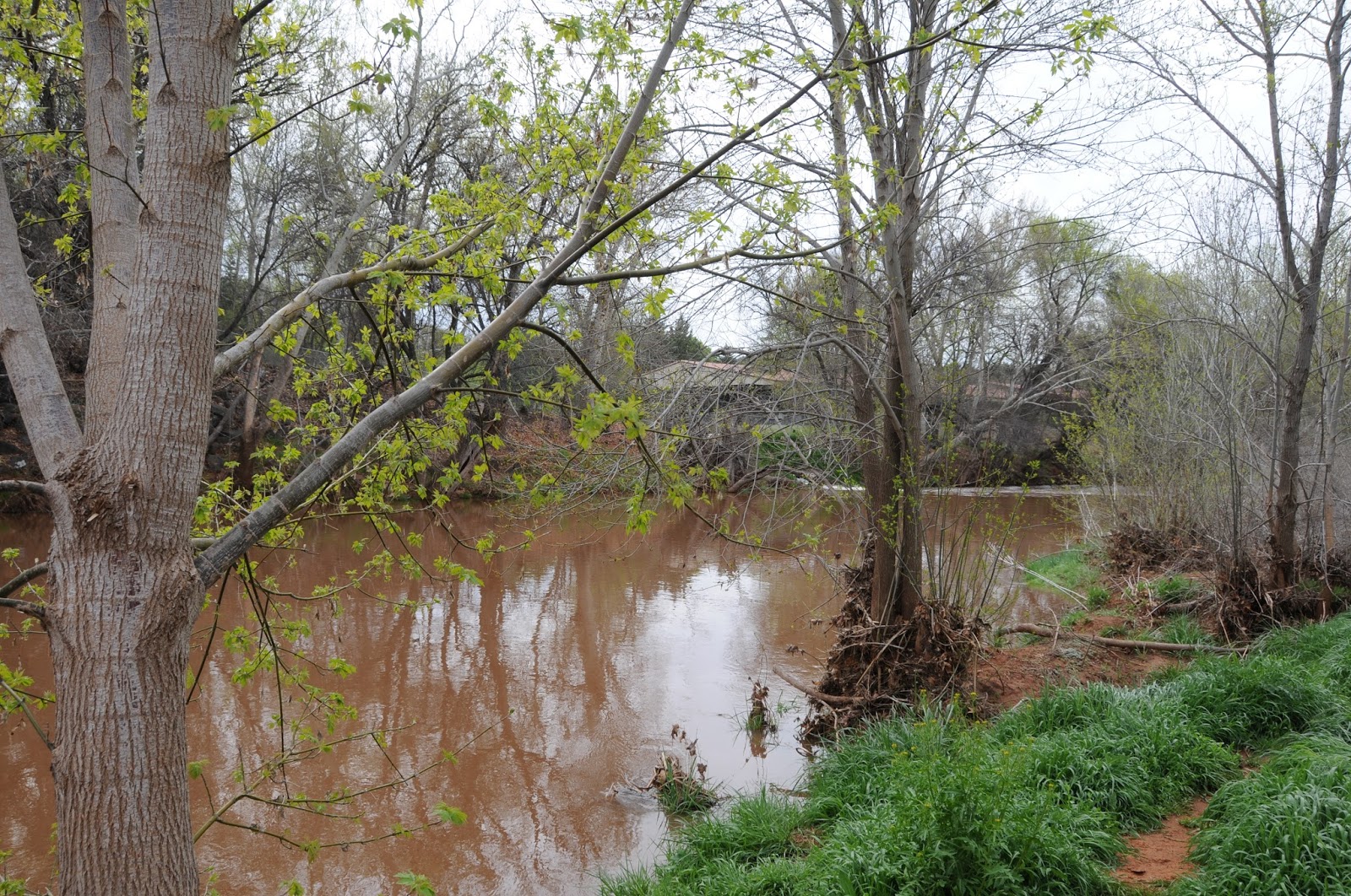
South trail along Oak Creek
Finding a suitable place to hike with young kids can be a challenge. However, there are plenty of trails that cater to a child's ticklish blend of boundless curiosity and brief attention span. When asked for recommendations, I point parents to short, easy paths that have plenty of interesting distractions and a big bang reward at the end. One such destination involves a hike with the fishes. Page Springs Hatchery in Cornville shares forested acres with the wildlife rich, Lower Oak Creek Important Bird Area. The site's trail system consists of connected north and south loops. For hiking with tykes, the south loop is the most entertaining. The mile-plus maze of paths offer the best opportunity for critter sightings and has viewing decks, benches in cozy alcoves, picnic tables and signs identifying native plants. Part of the trail network meanders near the creek through shady groves of cottonwoods, red willows and wild roses entangled with wild Canyon grape vines. The area's unique mix of climate, soil and slope is ideal for growing both wild and cultivated grapes. You can witness this first hand from a trail side bench wrapped in the tendrils of feral vines that overlooks the contrasting geometric order of a hillside vineyard.
Wild Canyon grape
The promised big bang reward at trail's end is two-fold. For the little ones, there's a self-guided stroll through the hatchery raceways where more than 700,000 trout are raised annually for stocking in Arizona lakes and streams. Although the hatchery pools are "hands off", just a few steps away, you can have an interactive experience at the site's Show Pond where fish food can be purchased for 25 cents and tossed into the water. The resultant feeding frenzy is a real kid-pleaser. For tippling adult trekkers, the surrounding area is home to several wineries (Javelina Leap, Page Springs Cellars) with tasting rooms. After all the excitement of the day, perhaps mommy could use a little splash of Merlot.
Hatchery Show Pond
LENGTH: 1.8 miles
RATING: easy
ELEVATION: 3,450' – 3,495'
PETS: leashed pets are allowed
HOURS: Visitor center: 7 a.m. - 3:30 p.m. daily except Thanksgiving and Christmas. South trails are open dawn to dusk daily.
FACILITIES: restrooms
GETTING THERE:
Wild and cultivated grapes alike thrive in the area
From Interstate 17 north of Camp Verde, take the McGuireville exit 293 (County Road 30), go 8 miles west toward Cornville and turn right onto Page Springs Road (County Road 50). Follow Page Springs Road 4 miles to the hatchery entrance on the left.
INFO:
Arizona Game & Fish Department, 928-634-4805