Find A Trail. Start Your Search Here:

Tuesday, May 20, 2014

SLIDE FIRE 2014


SLIDE FIRE: May 20, 2014
Sedona
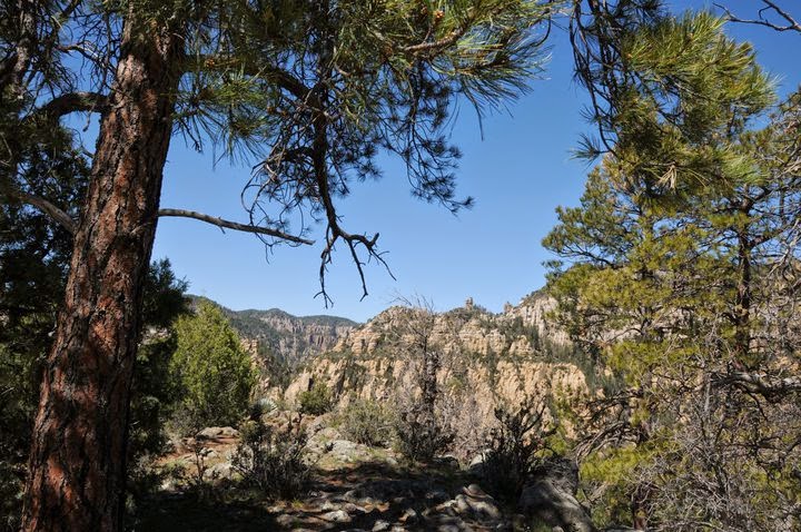
West Fork of Oak Creek: this has just burned ....
 UPDATE: 5-26-14: good news, fire damage to Call of the Canyon and West Fork of Oak Creek is not too bad. Check out this link for photos:
 https://www.facebook.com/SlideFireInfo

UPDATE 5-21-14: West Fork of Oak Creek is burning. No words.....
Here we go again---wildfire season.  This fire, which started this afternoon, is precariously close to West Fork of Oak Creek.  Although I haven’t received an official press release from the forest service yet, this is a no-brainer---don’t plan on hiking in the Oak Creek Canyon area any time soon.  The links below provide frequent updates on the fire. And, about that 3.5-mile switchback construction shut down on SR89A, you can now add 15 miles in both directions to the closure area. Pray, chant, cast good spells or dance for West Fork and the safety of our firefighters and local residents.

InciWeb:
Coconino National Forest:
Wildfire Incident Reports:

Monday, May 19, 2014

SWITCHBACKS ON SR89A TO CLOSE FOR 5 WEEKS

HIGHWAY 89A PARTIAL CLOSURE BEGINS MAY 27, 2014

Sedona
Access to many trails above SR89A remain open.

A 3.5-mile segment of SR89A in Oak Creek Canyon will be closed for improvements beginning May 27, 2014. The 5-week project which will include repaving, guardrail upgrades and bridge repairs is expected to conclude July 2, 2014.
The closure is in the "switchbacks" area from the Pine Flat Campground to Vista Point Overlook (mileposts 387-390). The good news is that access to popular hiking trails like West Fork, Harding Springs and Thomas Point will not be affected by this closure.

CLOSURE INFO:


HIKING TRAILS IN THE AREA:

Sunday, May 18, 2014

RED BUTTE


RED BUTTE
Kaibab National Forest
Looking north toward Grand Canyon

Impossible to miss along AZ64 twenty miles south of the Grand Canyon, the russet stone pinnacle
known as Red Butte commands the landscape. Rising 866 feet above the flatlands of the Colorado Plateau, this geological wonder is comprised of ancient layers of sand, ocean deposits and river rubble capped with a layer of inky basalt.  Over the past 270 million years, the forces of nature have whittled away much of the rock, but the basalt cap preserved this sugarloaf-shaped cross section of earth history for us to climb.  A clean trail ascends the west face in a series of gradually steepening switchbacks with excellent views all the way up.  On the summit,  footpaths wander among scenic viewpoints, forest service relics, survey markers (see if you can locate all 8 of them) and a lookout tower which is staffed during fire season.  To the north, a primitive airstrip stretches across juniper and sagebrush plains with hazy views of the Grand Canyon shimmering on the horizon while the silhouettes of the San Francisco Peaks and Bill Williams Mountain are visible to the south.

Fire tower on the summit

LENGTH: 2.5 miles roundtrip
RATING: moderate
ELEVATION:  6460' - 7426'

Bill Williams Mountain on the horizon

GETTING THERE:
From Flagstaff, go north on US 180 to the AZ 64 junction in Valle. Turn north (right) and continue 11 miles to FR 320 at milepost 224.  Turn right and go 1.3 miles to FR 340, turn left and drive 0.9 mile to the FR340A, turn right and continue 0.3 mile to the trailhead. Dirt roads are sedan friendly and well signed.

INFO:
Tusayan Ranger District, Kaibab National Forest, 928-638-2443

Access roads are well signed

MORE PHOTOS: