Find A Trail. Start Your Search Here:

Showing posts with label White Mountains. Show all posts

Tuesday, June 10, 2025

Government Trail Grand Re-Opening 2025

GOVERNMENT TRAIL GRAND RE-OPENING

Alpine Trail Stewards & forest service reps

For 14 years, the Government Trail #119 languished in the charred scar of the Wallow Fire.  The 2011 blaze devastated over a half-million acres of the Apache-Sitgreaves National Forest in Eastern Arizona.  Hundreds of miles of trails were obliterated in the densely forested high-country beloved by outdoor enthusiasts of all stripes.

Willows in a wet meadow on Government Trail

The fire left behind dangerous conditions including toppling dead trees, debris obstacles and flooding that made getting into the area to restore the damage an especially risky and physically demanding endeavor. 
Burn scar from the Wallow Fire

But over the past few years, with most of the dead trees down and new growth starting to take hold, the forest is at the point where it’s somewhat manageable and ready for repair work.
Stewards cut hundreds of logs on the trail

Thanks to grassroots volunteer group, the Alpine Trail Stewards, many formerly unhikable paths are being brought back from oblivion. 

Rocky Mountain iris bloom in the wet meadow

Working closely with the forest service, the group lead by Debbie and Aaron Fogle of Nutrioso has already identified and cleared miles of trails. The couple are seasoned outdoors people who know a thing or two about the area. 
This new sign was posted at the trailhead 6-7-25

Debbie is a horse trainer by trade who runs two outfitting companies: Women in the Wild and Hike Southwest while Aaron is a big game outfitter. They’re both hell-bent on sharing their love of the White Mountains not only with their businesses, but by giving back to the community through volunteer trail restoration work.
Stewards on a mission to the switchbacks

On Saturday June 7, 2025—National Trails Day—the group celebrated the grand re-opening of the Government Trail.  The 3-mile route that climbs the flanks of Escudilla Mountain near Alpine is now clear of deadfall and marked with cairns and bright tape.  There’s still some work to do on the upper switchbacks, but after a massive effort, the route is ready for its closeup!

New trail signage

The historic trail that was built for forest service workers to access the old fire tower and cabin on the summit, begins in a wet meadow below the western slopes of the 10,912-foot volcanic mountain.  Open to the sun, and fringed with survivor pines, the meadow features stands of willows, clumpy grasses and summer wildflowers that attract wildlife including amphibians, elk, deer, bear and swarms of butterflies.  Right from the start, the magnitude of work done by the Alpine Trail Stewards is apparent.  The 16 volunteers  that worked on the project over the past months cut 832 trees (537 of them using a hand crosscut saw due to wilderness restrictions) and contributed 550 hours in unpaid time brushing, clearing and removing hazards.

National Trails Day event 6-7-2025

The meadow walk is easy for about a mile up to where the freshly forged single track meets a closed two-track and begins a steady climb to where the trail enters the Escudilla Wilderness Area, taking on a series of switchbacks and seriously steep segments.  Compared to the Escudilla National Recreation Trail #308 that ascends the other side of the hill, this one is a bear.  Rife with loose rock and stripped of all the trees that had shaded its track before the fire, the switchback sections of the trail plow through rough talus slopes.  If it weren’t for the outstanding White Mountains vistas, you might wonder why you tackled this challenging hike. 

Optional side trip to the fire tower

White Mountains vistas from the upper trail

The two trails meet in an alpine meadow that evidently took the brunt of the Wallow Fire.  For an optional longer trek, hang a left here to continue another mile up to the closed fire tower near the summit.  The two trails are not technically looped, but by parking a second vehicle at the Escudilla trailhead, hikers can avoid the slippery downhill by using #308 as the return leg.
Rock cairns and tape mark the trail

LENGTH: 

Government Trail only: 6 miles roundtrip

With Escudilla Summit: 8 miles roundtrip

RATING: difficult

ELEVATION:

Government Trail Only: 8,626 – 10,600 feet

With Escudilla Summit:  8,626 - 10,877 feet

GETTING THERE:

From Springerville, go south on U.S. 191/180 for about 20 miles to Forest Road 8056 on the left between mileposts 420 and 421which is signed for Hulsey Lake and Terry Flat.  Go 2.6  miles on FR 8056 (past the Husley Lake day use site) and turn left at a Wildlife Habitat Area sign. Follow this road a short way to the signed trailhead on the right. FR 8056 is maintained gravel suitable for most vehicles. 

INFO:

Alpine Trail Stewards

https://hikesouthwest.com/alpine-trail-stewards-2/

Monday, August 9, 2021

Escudilla National Recreation Trail

ESCUDILLA NATIONAL RECREATION TRAIL

Apache Sitgreaves National Forest

Escudilla Mountain seen from U.S. 191/180

In a world replete with competition and obsessions about number-ones, nobody remembers who or what came in third.  Same goes for hikers seeking to bag all of Arizona’s loftiest peaks.  Hardly a hiker in the state isn’t familiar with the number one spot, Humphreys Peak, the highest point on San Francisco Mountain (the USGS official summit benchmark says “Frisco” not Humphreys), an extinct stratovolcano north of Flagstaff.

Much of the lower trail escaped the Wallow Fire

One sure way to start an argument among hikers is to breech the topic of which Arizona mountains are the highest. So we don’t trip over semantics, it’s important to distinguish between a mountain and a peak.

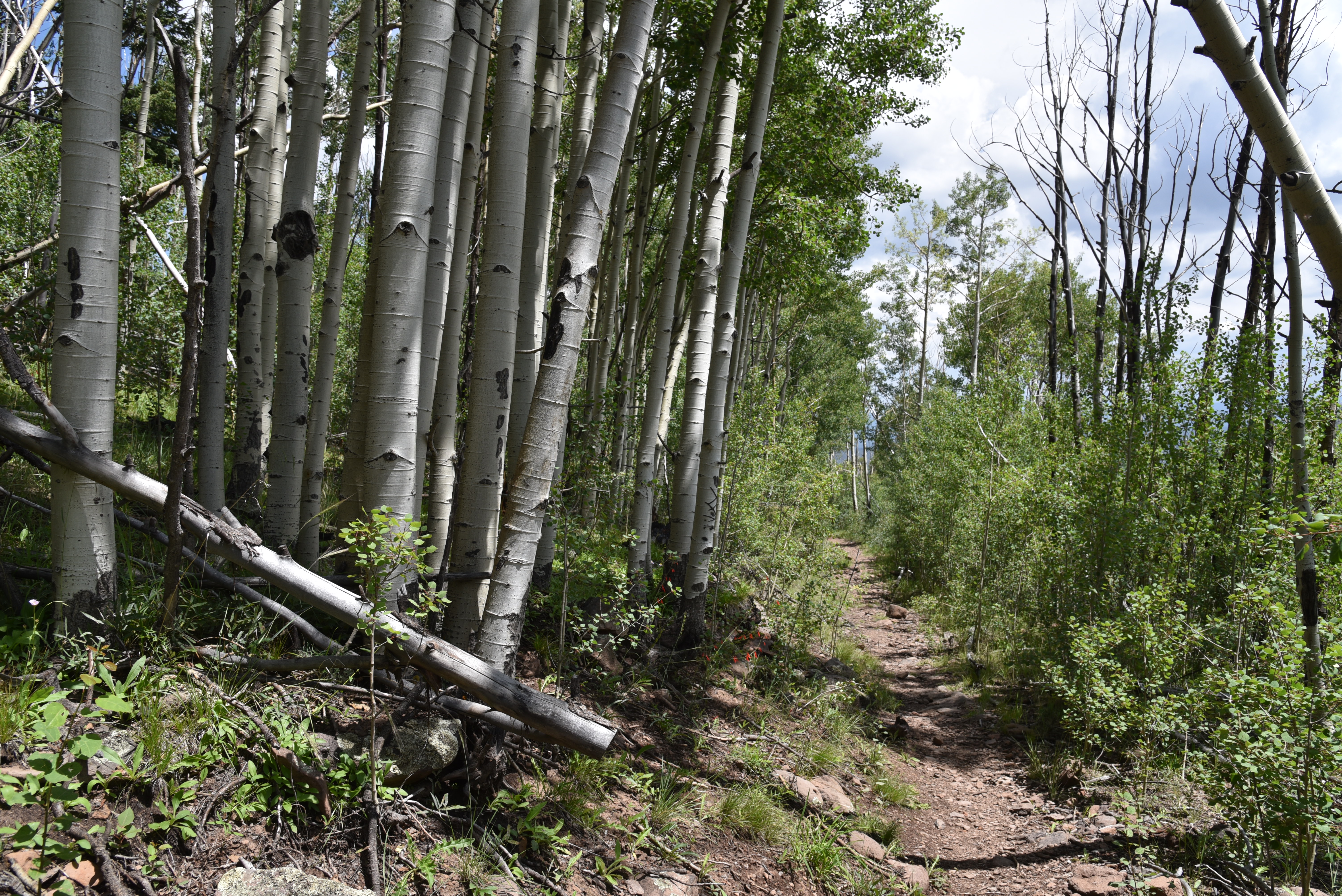
Aspens line the trail near the head of Toolbox Draw

San Francisco Mountain has seven of the state’s highest peaks—Humphreys, Agassiz, Abineau, Doyle, Fremont, Rees and Schultz- but they are peaks on the same mountain.  

Fireweed blooms July - Sept on Escudilla Mtn.

So, it’s a collective number one.  Here are the state’s top five highest mountains, all of which have trails to their summits.
Escudilla lookout stands above fire damaged slopes
Humphreys Peak 12,633 feet, Mount Baldy 11,420 feet, Escudilla Mountain 10,912 feet, Mount Graham 10,720 feet and Kendrick Mountain 10,418 feet.

For Arizona “peak-baggers”, the rush to the top inevitably begins with an elbow-to-elbow slog up Humphreys Peak for bragging rights and the requisite Instagram moment. 

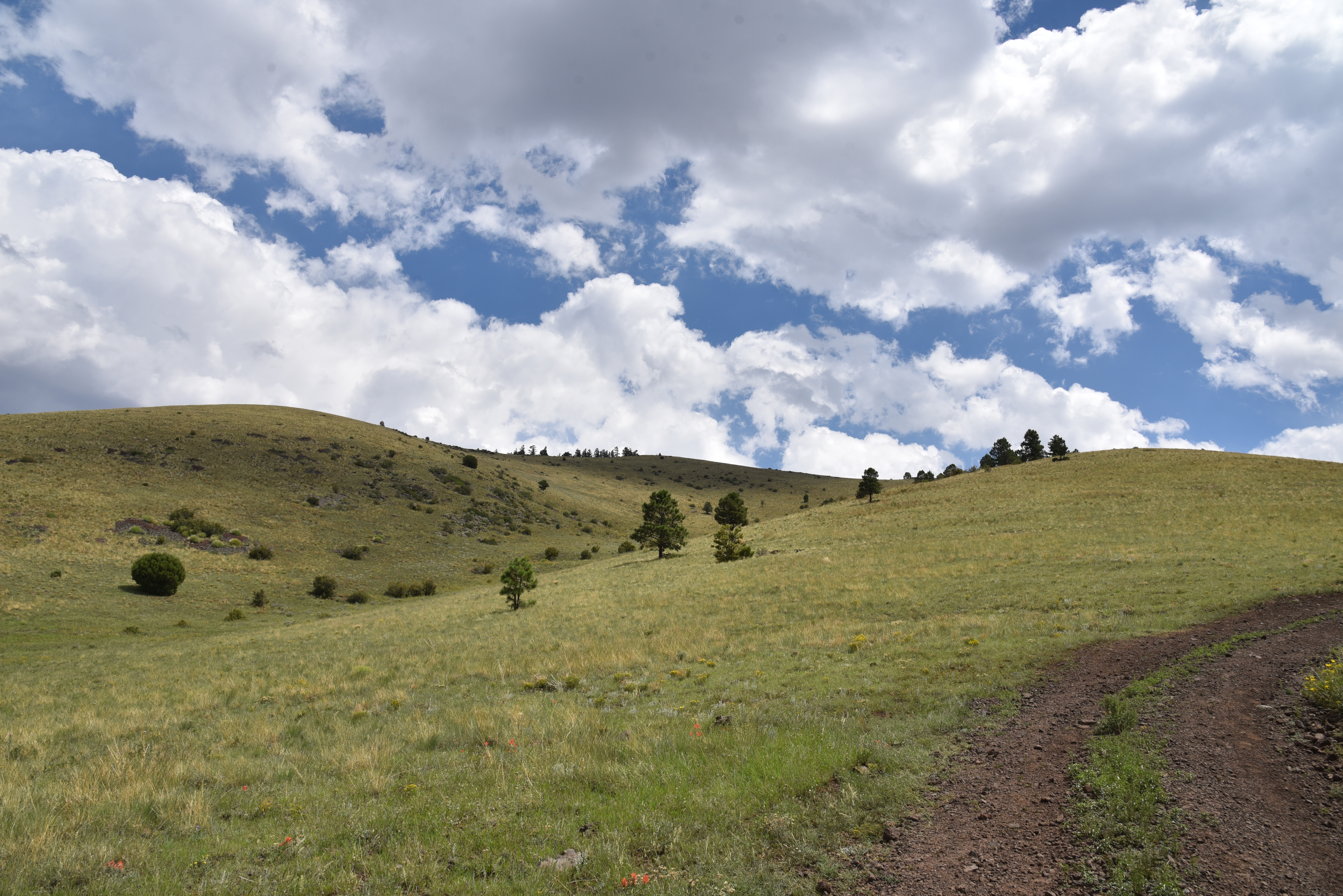
Big sky and green valley views on Escudilla Mtn

Lush woodlands near the trailhead

But, in this hiker’s opinion, it’s the mountain that lags in third place that delivers the gold-medal alpine experience. 

Brushing the clouds at 10,912 feet in elevation, Escudilla Mountain located off U.S. 191 in Eastern Arizona’s White Mountains is a much less congested route with a pronounced “out-there” ambiance.

Final aspen glen before fire damage dominates

The isolated, dome-shaped massif sits just over three miles from the New Mexico state line in Apache County and cuts a distinctive profile that’s visible for miles.

Summit view in 2006

The Escudilla National Recreation Trail No. 308 lies almost entirely within the Escudilla Wilderness Area where only foot and equestrian travel is allowed. 

The mountain was touched by another type of first--the unenviable kind- when the largest wildfire in Arizona history roared up its slopes.  The 2011 Wallow Fire charred more than a half-million acres around the communities of Alpine, Nutrioso and Greer. 

Shrubs & flowers grow among downed trees

Even though Escudilla Mountain sat at the eastern edge of the fire’s reach, much of the terrain escaped severe damage.
Harebells are classic alpine wildflowers

But some areas were devastated.

While the Wallow Fire certainly changed the mountain’s look, miraculously, much of the aspen and mixed conifer woodlands on the lower part of the trail are intact. 

Summit view in 2006

Summit view looking east toward New Mexico

The first half-mile of the hike was largely untouched and remains thick with white-barked aspen glens.  The ravages of the blaze become apparent at the 1.1-mile point where the trail exits pristine forests and emerges on a crest at the head of Toolbox Draw.  The previously fir-and-spruce draped passage is now an environment of bald rolling hills punctuated with a few stalwart Douglas firs. 
How the severely damaged area looked in 2006

Damaged summit fire tower is closed to the public

The upside is newly exposed mountain vistas.  The trail hangs close to the edge of draws and ravines, passing through patches of survivor trees, fruit-laden shrubs and fields of colorful wildflowers. 
Summer-ripening orange gooseberries

One last aspen passage at the 1.7-mile point heralds the entrance into the severely burned side of the mountain. 
Looking southwest from the summit

The fire took no prisoners here.  Ten years removed from the fire, the landscape is one of toppled tree skeletons and torched snags. 
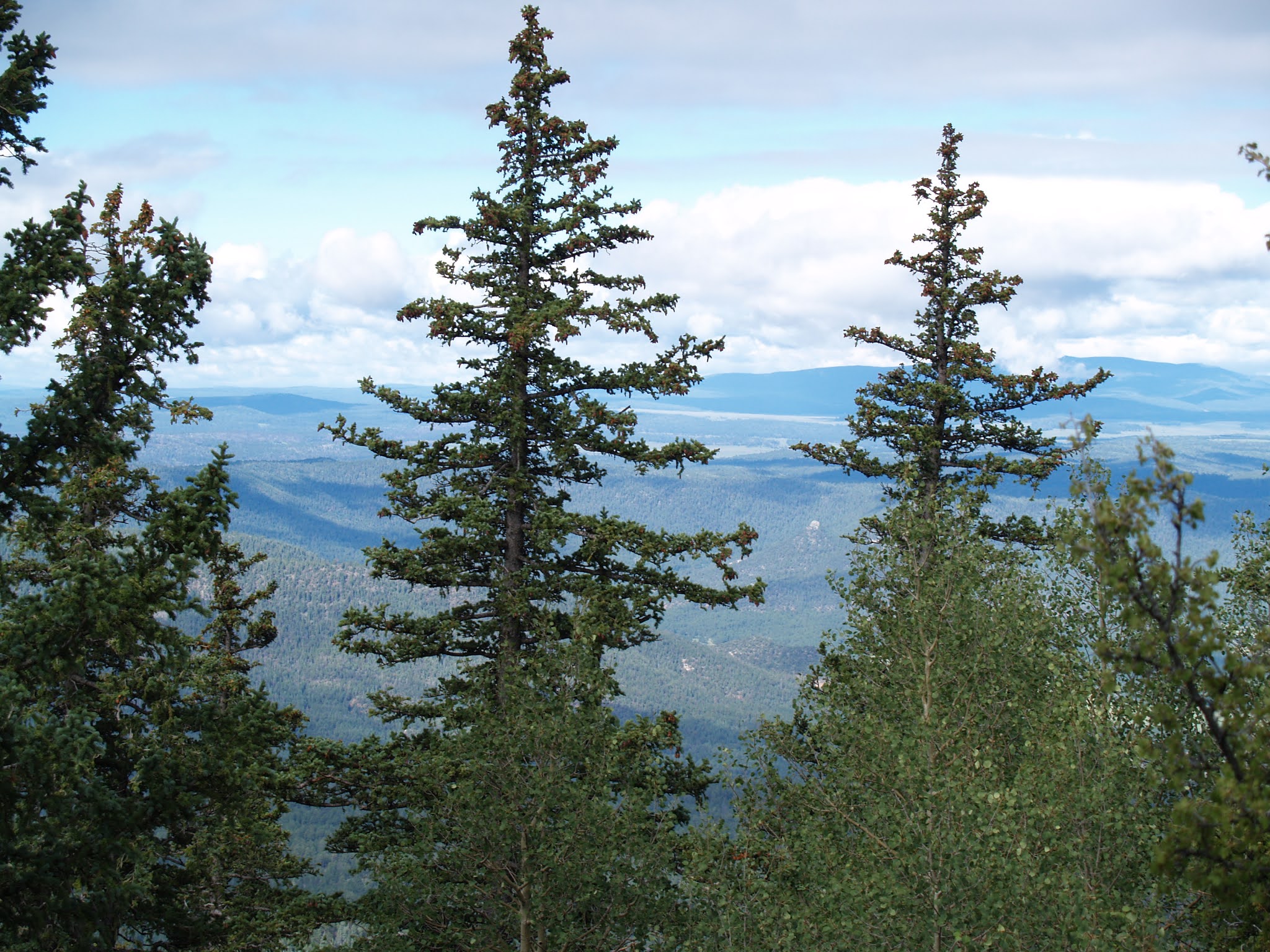
Survivor fir & spruce trees on the upper slopes

Above it all, the battered metal frame of the former summit fire lookout stands on a scorched knob that denotes the destination. Among the downed trees, an under story of blooming shrubs, saplings, and alpine flowers hint at resurgence. Over the final mile to the summit, the trail dodges among deadfall and woodchips left from when the trail was cleared of obstacles.  
Denuded flanks of Escudilla Mountain

Spindly, head-high aspens fill spaces formerly occupied by enormous old-growth conifers on the last leg of the trek that ends at the fire tower on the 10,877-foot pinnacle.
Richardson's geranium grow among pine needles

 
Trail condition on the summit ridge

The wooden cabin that once stood below the lookout is gone and the tower is fenced off for safety.  Gone too is the fringe of trees that limited views so it’s now easy to see all the way into New Mexico and the green valleys of the Blue Range Primitive Area.  The 10,912-foot true summit resides a half-mile off-trail beyond the lookout, for those to whom 35 feet matters in the quest for a memorable third-place victory.

LENGTH: 6.3 miles roundtrip

RATING: moderate

ELEVATION: 9,560 – 10,877 feet

GETTING THERE:

From Springerville, go south on U.S. 191/180 for about 20 miles to Forest Road 8056 on the left between mileposts 420 and 421which is signed for Hulsey Lake and Terry Flat.  Follow FR 8056 4.5 miles to the trailhead.  FR 8056 is maintained gravel suitable for most vehicles.  Several hairpin turns and steep drops off may not be suitable for RVs.

INFO:

https://www.fs.usda.gov/recarea/asnf/recreation/hiking/recarea/?recid=45293&actid=50


Tuesday, September 1, 2020

Antelope Mountain

ANTELOPE MOUNTAIN

View from the saddle of Antelope Mountain near Greer

A drive along State Route 260 in the White Mountains between Pinetop-Lakeside and Springerville is a tour of extremes.
Fish Creek Corral frames a view of Antelope Mountain

The scenic byway begins in dense woodlands replete with lakeside retreats that comes to an abrupt end near the turn off for the town of Greer where the landscape jumps from piney to pastoral. 

Ellis Wiltbank Reservoir sits at the base of Antelope Mtn.

Like a splash of cold water, the terrain suddenly changes into sprawling grasslands and isolated pine-covered knolls. Figuring prominently in the landscape are hundreds of lumps, bumps, slumps and conical hills--welcome to the complex geology of the Springerville Volcanic Field.  This swath of cinder cones and lava flows sits at the southern edge of the Colorado Plateau, a roughly 130,000 square mile collection of some of the country’s most remarkable landforms (think: Zion, Capitol Reef and the Grand Canyon) that covers the four corners region of Utah, Colorado, New Mexico and Arizona.
A monsoon storm builds over Antelope Mountain

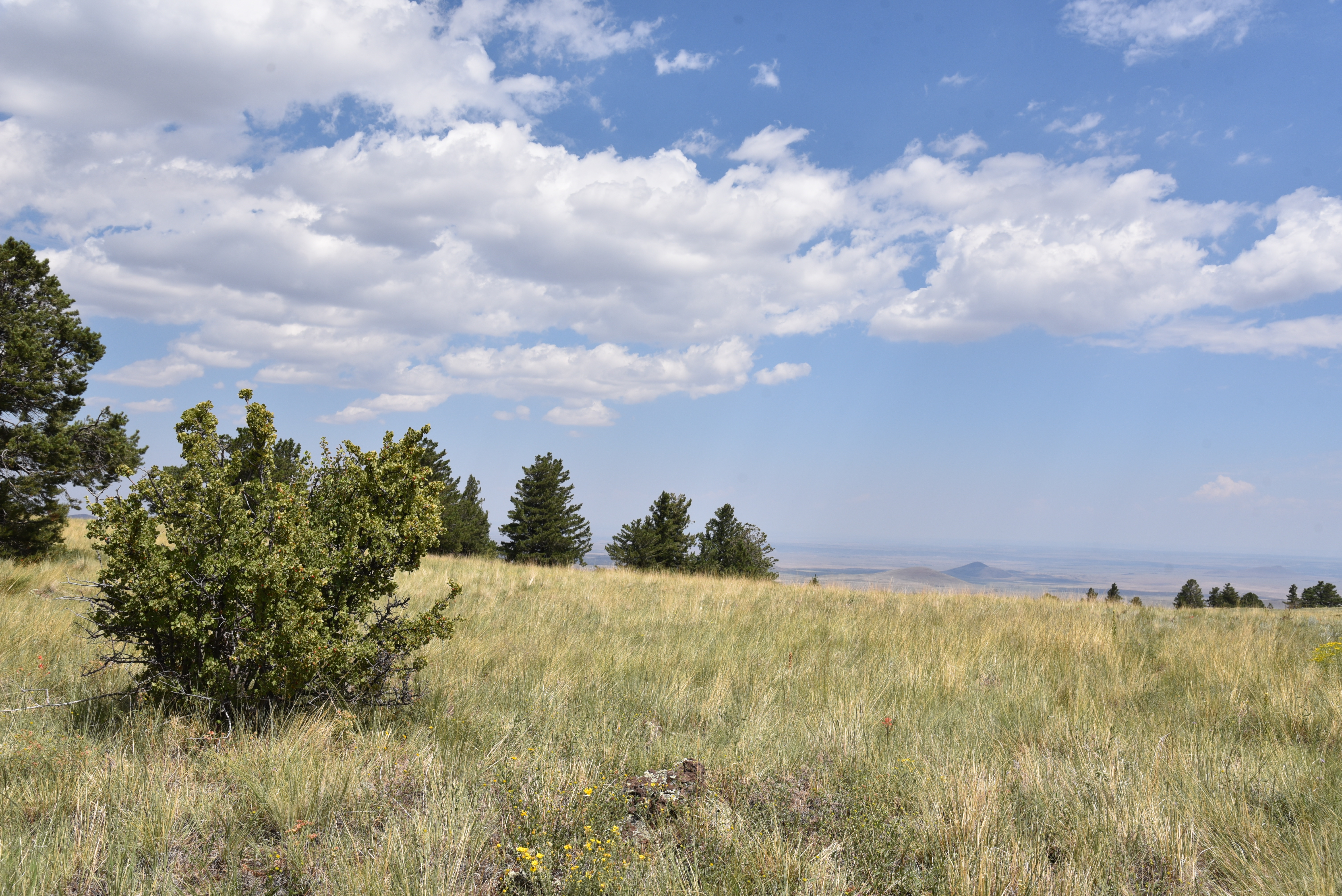
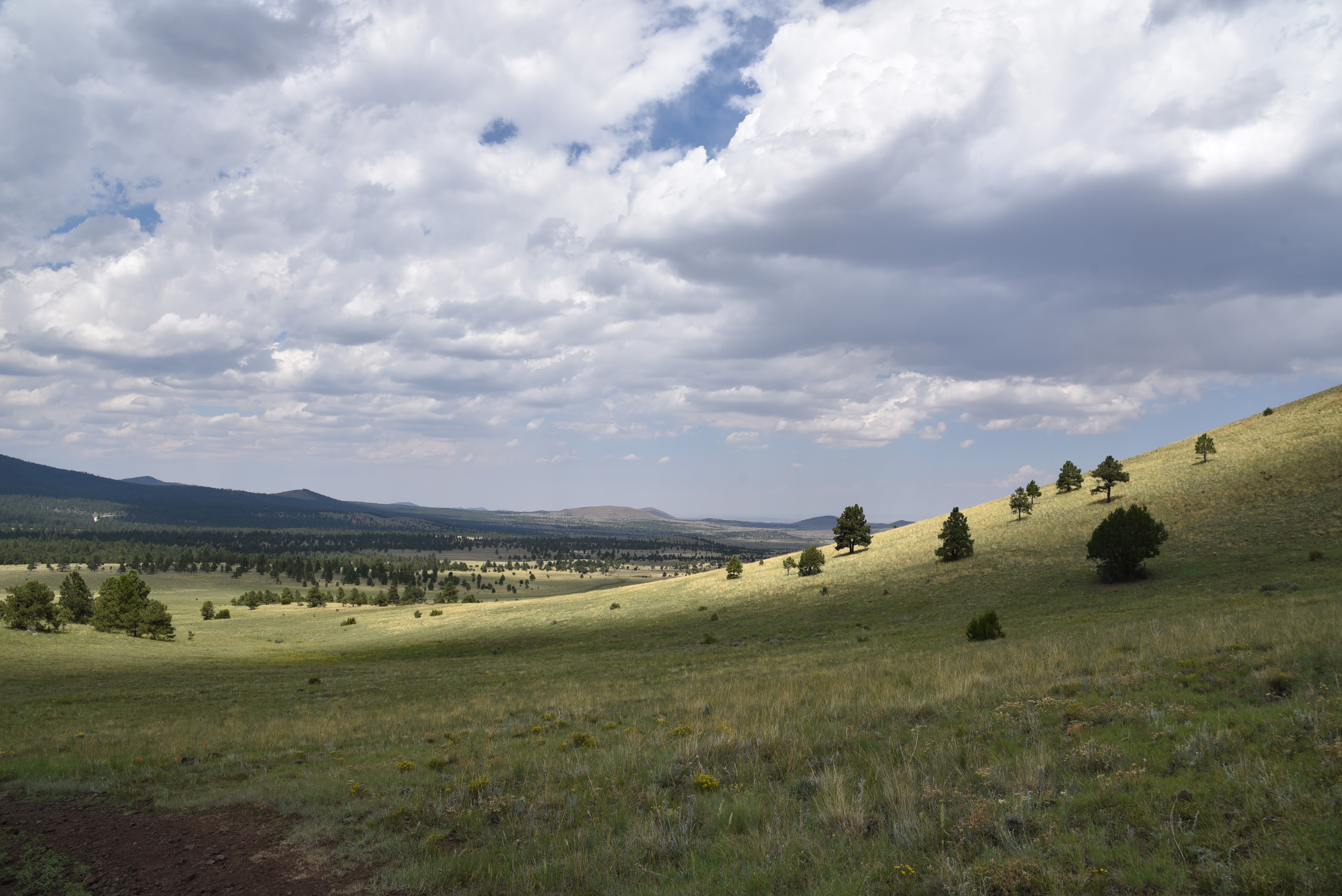
Springerville Volcanic Field seen from Antelope Mtn.

Sparsely vegetated, the sunny plains sit just north of the course of the Little Colorado River and its tributaries that drain into the Mount Baldy Wilderness area where a mass of lakes, marshes and moist riparian zones stand in stark contrast to the shrubby, windswept volcanic highlands.

Insects feed on a Mountain tail-leaf bush on Antelope Mtn.

Hiking in this bizarre area is both challenging and rewarding.

A textbook-perfect cinder cone seen from Antelope Mtn.

While 10,134-foot Greens Peak, the highest point in the field, is easily accessible on national forest land, many of the other notable volcanic features in the area are located along rough back roads that pass through a patchwork of national forest, state trust, tribal, municipal and private lands, so it’s important that you trek in sync with the laws.

Pollinators alight on New Mexican vervain blooms


One such place to explore is Antelope Mountain, a fascinating cinder cone which is on State Trust Land.  A permit is required to hike the rough dirt road to its 9,003-foot summit. State Trust Land Recreational permits are inexpensive, easy to obtain online and most, including the one for individual hiking access, are good for a full year.  In some cases, such as where Passage 30: Coconino Rim of the Arizona Trail crosses State Trust land north of Flagstaff, a permit is not required as long as you stay within the 15-foot corridor of the trail. That is an exception, though. If you’re recreating on State Trust land, you’ll need a permit.

Antelope Mountain is a cinder cone volcano

Steep approach to the saddle of Antelope Mountain


The deceptively easy-looking road that climbs Antelope Mountain begins at a nondescript turnout off State Route 260 six miles north of the town of Greer.  The first mile is a simple traipse among spotty trees and the wire-and-wood complex of the Fish Creek corrals where the first of two road gates marks the warm up section to the steep climbing ahead. From this segment, the road cut that snakes up the nearly treeless mountain is clearly visible. While it may not look that imposing from a distance, it makes a steady, 30-degree ascent with no breaks. It’s all up, all the way.

A hazy view of Escudilla Mtn on the far right horizon

Road cut visible on the barren south slopes of Antelope Mtn.

Soon, glimpses of Ellis Wiltbank Reservoir, which is on private property, appear in a shallow basin to the left of the road. Look carefully and you might spot domestic cattle, elk and big horn sheep roaming around its mucky perimeter.  At near the 1.5-mile point, pass a second gate that marks the State Trust Land boundary (per state land regulations, leave the gate as you found it, either open or closed) and get ready for the uphill grind.  One hairpin switchback at the 8,500-foot point is all you get in terms of climb-mitigating road engineering.  The rest of the hike makes a straight shot up the mountain’s south flank to the top with the final quarter-mile to the saddle below the summit ridge being the steepest. But great vistas of Escudilla Mountain on the New Mexico border, Mount Baldy, Pole Knoll and White Mountains grasslands take the sting out of the effort. 

Late summer is the best time to see sunflowers in the White Mtns.

Defunct communication equipment on Antelope Mtn.

Looking west from the lone switchback on Antelope Mtn.

On the saddle, the road splits. The left fork goes to the summit proper while the right one leads to scenic overlooks and a heap of defunct equipment, including what appears to be old analogue TV antennas.  A smattering of wind-tortured fir trees standing among outcroppings of basalt boulders and scree line the summit spur. Visible between the trees, a textbook-perfect cinder cone with a symmetrical crater sits 500 feet below the mountain’s north face while dozens of other more lopsided and eroded specimens are scattered on the prairies below.

Forest Road 558 leads to the top of Antelope Mountain

Looking east from the summit of Antelope Mountain

A wild geranium blooms among buckwheat flowers

The road tops out on a bald knob where a huge cairn made of cinders denotes the mountain’s highpoint.  On the top, the tower-clutter summit of Greens Peak can be seen to the west while the diverse mix of forests and open plains of east-central Arizona roll out all around making the quad burning hike well worth the effort.

View from the saddle of Antelope Mountain

Greens Peak (far R horizon) seen from Antelope Mtn

A permit is required to hike on Arizona State Trust Land


LENGTH:  6 miles round trip

RATING: moderate

ELEVATION:   8,149 – 9,003 feet

GETTING THERE:

From Show Low go 45 miles east on State Route 260 (White Mountain Blvd.) to Forest Road 558 on the left.  This easy-to-miss road is located 0.7-mile past the State Route 373 turn off for the town of Greer, just past a big Leaving Apache National Forest sign. There’s a parking turnout a few yard in and additional parking farther up the road near a corral. Hike the road to the summit.


AN ARIZONA STATE LAND TRUST RECREATIONAL PERMIT IS REQUIRED FOR THIS HIKE. GET ONE HERE:

https://land.az.gov/applications-permits/recreation


INFO on the Springerville Volcanic Field

http://azgs.arizona.edu/azgs-photo-tags/springerville-volcanic-field