McDowell Sonoran Preserve
 |
| Windgate Pass |
In the highly competitive, (oft
embellished) sphere of hiking lore, there are precisely two loop circuits in
Scottsdale’s McDowell Sonoran Preserve that have earned the title of “epic”. They are the Tom’s Thumb-East End-Bell Pass Loop
and the Windgate-Bell Pass Loop. Both are beautiful. Both will kick your butt. Before
tackling the 13-mile, 2,205-foot Tom’s Thumb slog, you might want to do a warm
up trek on the later. From a strictly mathematical perspective, the “measly” 1,484
feet from the circuit’s base to its highest point bellies the fact that the
mountain’s dips and dives reclaim much of what you gain, multiple times. There’s
a 600-foot loss between
the two passes alone. These two ambitious
circuits are staples on the training programs of hikers preparing for Grand
Canyon Rim-to-Rim trips or long distance hauls on the Arizona Trail.
Whether you have eyes on bigger prizes or are
just looking for a challenging day hike, the Windgate-Bell Pass Loop satisfies
both the urge for a good workout and the desire to wander among the scenic wonders
of the Sonoran Desert. The hike begins at the famously busy Gateway Trailhead.
A brief walk over a metal bridge leads to the first leg of the circuit which
follows one of the preserve’s most popular routes: Gateway Loop. Beyond this 1.6-mile
segment, the crowds begin to thin out where Bell Pass Trail veers off and heads
uphill. From this point, a relentless series of ups-and-downs through cholla
and ocotillo tops out at Bell Pass.
 |
| Bell Pass |
 |
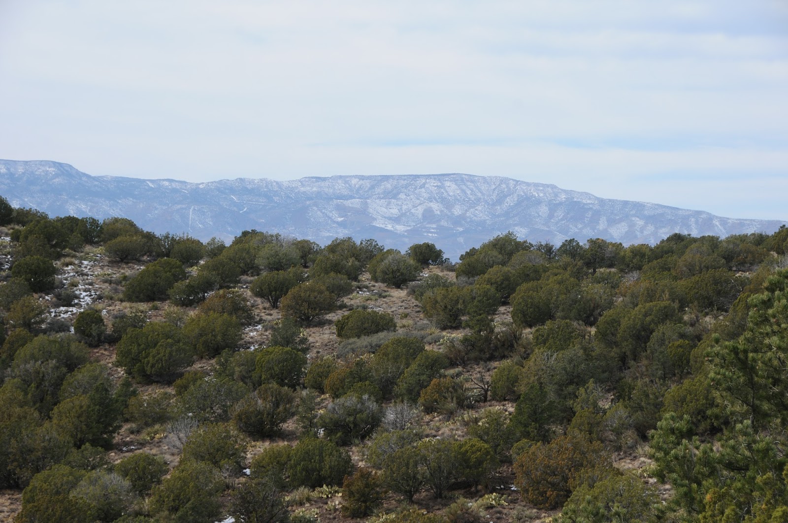
| Sonoran Desert beauty |
In the shadow of 3,969-foot
Thompson Peak, the breezy pass showcases views of Four Peaks, the Verde River, the
town of Fountain Hills and an overview of the route snaking through a valley
below. This mile-long descent ends at the Windgate Pass Trail where you’ll turn
left and earn back all the lost elevation to reach another wide saddle with
equally gorgeous vistas. With the major
climbing complete, head down the opposite side of the pass knowing that it’s
mostly a downhill trudge.


HIKE DIRECTIONS:
From the trailhead, follow the
main access path and Saguaro Trail 0.4 mile to the Gateway Loop junction. Head
right and follow Gateway Loop 1.2 miles, connect with Bell Pass Trail and hike
2 miles to the scenic mountain pass. From here, continue 1.3 miles and veer
left onto Windgate Pass Trail and climb 0.9 mile up to the pass. Next, descend
2.5 miles to the Gateway Loop junction and follow the signs back to the
trailhead.


LENGTH: 9.6-mile loop
RATING: difficult
ELEVATION: 1,720’ – 3,204’
GETTING THERE:
Gateway Trailhead, 18333 N.
Thompson Peak Rd. Scottsdale, 85255.
INFO & MAPS:
City of Scottsdale:
McDowell Sonoran Conservancy: