


UPPER LAKE MARY
 |
| Mormon Mountains stand out over Upper Lake Mary |
At the tail end of the twin reservoirs of Upper and Lower Lake Mary, an airy draw closes in on the murky meanders of Walnut Creek.
 |
| Upper Lake Mary viewed from FR 9485C |
Cutting through dry stubble and emergent grasses, the entrenched creek course snakes south through coniferous woodlands in Coconino National Forest.
 |
| Rocky Mountain iris bloom May - September |
Earthen dams on the creek contain the elongated lakes that are a major source of water for the City of Flagstaff roughly 15 miles to the north.
 |
| Log pole fence on the shore of Upper Lake Mary |
While the lower lake is usually bone dry, Upper Lake Mary retains enough water for boating, water skiing, fishing, and picnicking. Nearby camping and access to the Arizona National Scenic Trail, make the lakes a popular recreational destination.
 |
| Drought has altered the landscape around the lake |
Water levels vary depending on rain and snowmelt. According to the USGS, Upper Lake Mary is about 5.6 miles long with a surface area of 939 acres and a maximum depth of 39 feet when at full capacity. Prolonged drought has altered the lake’s size and character.
 |
| Field bindweed bloom May - September |
Deepest near the dam at its north end, Upper Lake Mary shallows out as it bends southward gradually morphing into puddles, mucky swales, and a dry draw where the ghost of the creek exists in deeply incised, twisted channels.
 |
| Butter & eggs bloom May - September |
A short forest road on the east shore provides a close look at this transitional segment where the lake goes from pond to puddle to pasture in just under one mile. Forest Road 9485C serves as the trail for the 2-mile round trip hike.
 |
| San Francisco Peaks on the horizon |
Wide, rocky, and relatively flat, the dirt two-track sits just below Lake Mary Road.
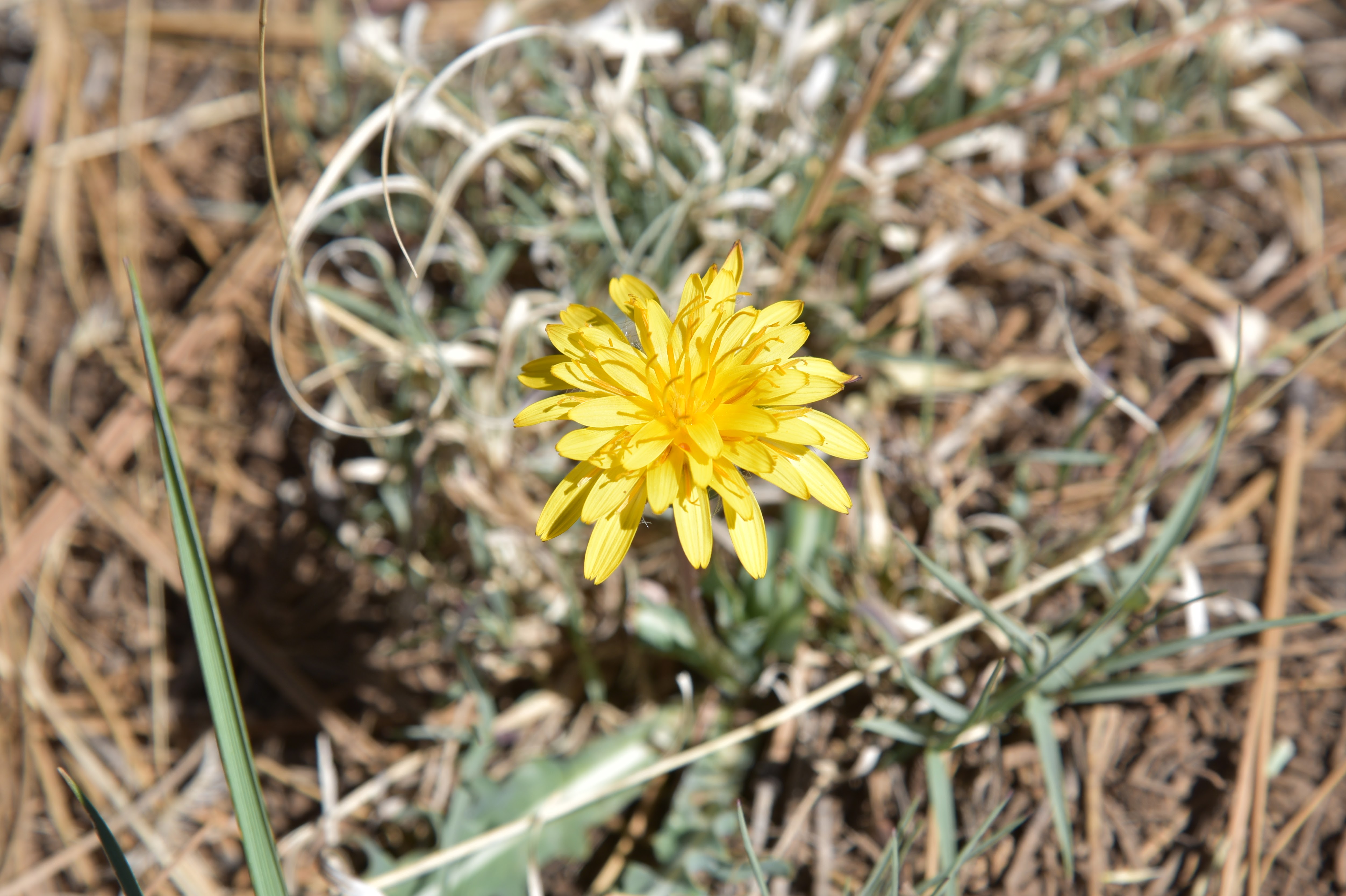 |
| Mountain dandelion bloom May - October |
Over the first-quarter mile, Ponderosa pine trees stand over the last sizable reaches of lake water where Great blue herons, waterfowl and—for early morning hikers—elk, might be spotted browsing the weedy fringes.
 |
| Hike uses FR 9485C below Lake Mary Road |
The rounded peaks of Mormon Mountain stand out over an ever-fading spillway to the south. About where a rustic pole fence stands at what appears to be the former edge of the lake, water sightings are replaced by juniper-framed views of the creek meanders and glimpses of the San Francisco Peaks to the north.
 |
| Creek meanders at the far south end of Upper Lake Mary |
While drought has altered the landscape, there’s still a thriving understory of blooming shrubs and wildflowers. Sunflowers put on an especially gorgeous show in late summer, blanketing the shores in acres of brilliant yellow.
LENGTH: 2 miles round trip
RATING: easy
ELEVATION: 6,830 – 6,850 feet
GETTING THERE:
From Flagstaff, travel 15.5 miles south on Lake Mary Road (County Road 3) to Forest Road 9485C on the right past milepost 329. There are no fees at this day use parking area.
No comments:
Post a Comment