Find A Trail. Start Your Search Here:

Monday, September 27, 2021

Tap Tank

TAP TANK

Annual goldeneye in full bloom Sept. 25, 2021

October in Arizona means cooler temperatures, dusting off of hiking boots and the annual rush to view golden high-country fall foliage.

View from the high pastures above Rarick Canyon

While it’s sometimes overlooked, Arizona autumn gold happens underfoot as well as overhead. The low-growing option is easy to spot along Interstate 17 between Sedona and Flagstaff.

Landforms of Sedona viewed from FR 213F

 
Tap Tank caps off the hike in Coconino NF

From late September through October, the rangeland is dominated by the peaking of Annual goldeneye flowers that blanket the rolling hills in a paint-splatter style reminiscent of loosely-rendered works created by plein air impressionists working in airy, Provence meadows.
Tap Tank attracts wildlife and domestic cattle

 
Annual goldeneye bloom May - October

The annual showing of Heliomeris longifolia var. annua, a knee-high, shrub-like plant in the sunflower family that produces small golden flowers from May through October, is at its best in early fall.  
The route crosses rugged Rarick Canyon

One particularly fine area to walk among the blooms is the rangeland of Coconino National Forest around Stoneman Lake north of Camp Verde.  Many dirt roads wind through the hilly backcountry including one that’s not only dripping in goldeneyes, but includes a dip into scenic Rarick Canyon and a traipse to a high pasture with a glassy stock tank and amazing vistas.
Storm clouds brew above FR 213F

View from the upper end of FR 213F

Forest Road 213F serves as the trail for this moderate-rated hike.  The rough dirt two-track begins easily enough with a short walk through juniper-studded flats. At the 0.2-mile point, the road splits. 

Acres of Annual goldeneye color the landscape

Take the less-obvious left fork to stay on FR 213F and save the unnamed right track for a surprise add-on trip on the way back.  A half-mile in, the road starts a short, steep dip into Rarick Canyon and crosses the bottom of the rocky gorge.
Wright's birdbeak blooms Jun- October

 
Once past the boulder-jumbled gully, the road heads up the east face of the canyon wall. It’s less than 500 feet of climbing from the canyon depths to the high pastures above, but many dips and ascents along the way accumulate to over 1,300 feet of elevation change. 
Mountain vistas and high pastures on FR 213F

Along this segment, views of the Verde Valley, Bradshaw Mountains and the colorful rock formations of Sedona open up to the north.  At the 1.8-mile point, the road splits again.  Forest Road 213J spins off to the left while FR 213F continues south around 6,197-foot Table Mountain. 
The road dips & climbs through Rarick Canyon

For this trip, take the left fork which is marked by a faded post obscured by a juniper tree, and follow the overgrown road a few yards to Tap Tank.  Set in a shallow depression on the north side of the road, the glassy livestock water hole is besieged with a fringe of wildflowers, water plants, hip-high grasses and an arc of junipers.  
A skunk bush blushes with autumn color

The tank makes for a good turnaround point.  For an alternate look at the annual goldeneye show, backtrack to the first junction and head out on the unsigned right fork.  This spur road is flatter and sunnier than its companion route. 
Extend the hike on an unnamed spur road

Over its 0.6-mile course, it serves up a full menu of breath-taking vistas that rise above acres of scrub oak, yucca and a seemingly never-ending sea of golden blooms before it dead-ends at the lip of Rarick Canyon.

White prairie aster bloom August - October

LENGTH: 5 miles round trip (including the spur road)

RATING: moderate

ELEVATION: 5,548 – 6,031 feet (1,313 feet accumulated elevation change)

GETTING THERE:

From Interstate 17 drive 19 miles north of Camp Verde and take the Stoneman Lake exit 306. Head east at the bottom of the off ramp and follow Stoneman Lake Road (Forest Road 213) 1.8 miles to Forest Road 213F on the right where there’s a gate and cattle guard.  There’s parking for 2-3 vehicles near the gate.  NOTE: FR 213F may be closed in winter and when there’s flooding in the canyon.

Tuesday, September 14, 2021

Seven Mile Gulch Trail

SEVEN MILE GULCH TRAIL

It's a steep climb up Seven Mile Gulch trail

It’s a scare hikers don’t soon forget.  Low growling, rustling sounds coming from trailside shrubs that hint at something ominous or predatory abruptly morph into the dull pounding cadence of a roused beast before the makers burst from their cover.  This is what it sounds like when doves fly.  

Beautiful scrubland on the trail's exposed ridges

While the startling wildlife encounter is a familiar one in Arizona’s brushlands, it never loses its fright factor. 
Feathery seeds of Alderleaf mountain mahogany

Still, the experience dovetails nicely with hikes that challenge physical stamina as well as mental fortitude.  
A "rest spot" on the trail showcases great views

Hikers can test their mettle, and maybe rouse some doves, on Prescott’s Seven Mile Gulch Trail No. 9854.   
A monsoon storm brews over Seven Mile Gulch

Located in the Lynx Lake Recreation Area in Prescott National Forest just a couple miles south of State Route 69, the shared-use route offers a strenuous climb, diverse eco-zones, wildlife viewing opportunities and sweet mountain vistas.

The trail knocks off its nearly 1,300-foot ascent in a series of insanely vertical hauls with short breather segments and dips into woodsy enclaves. 

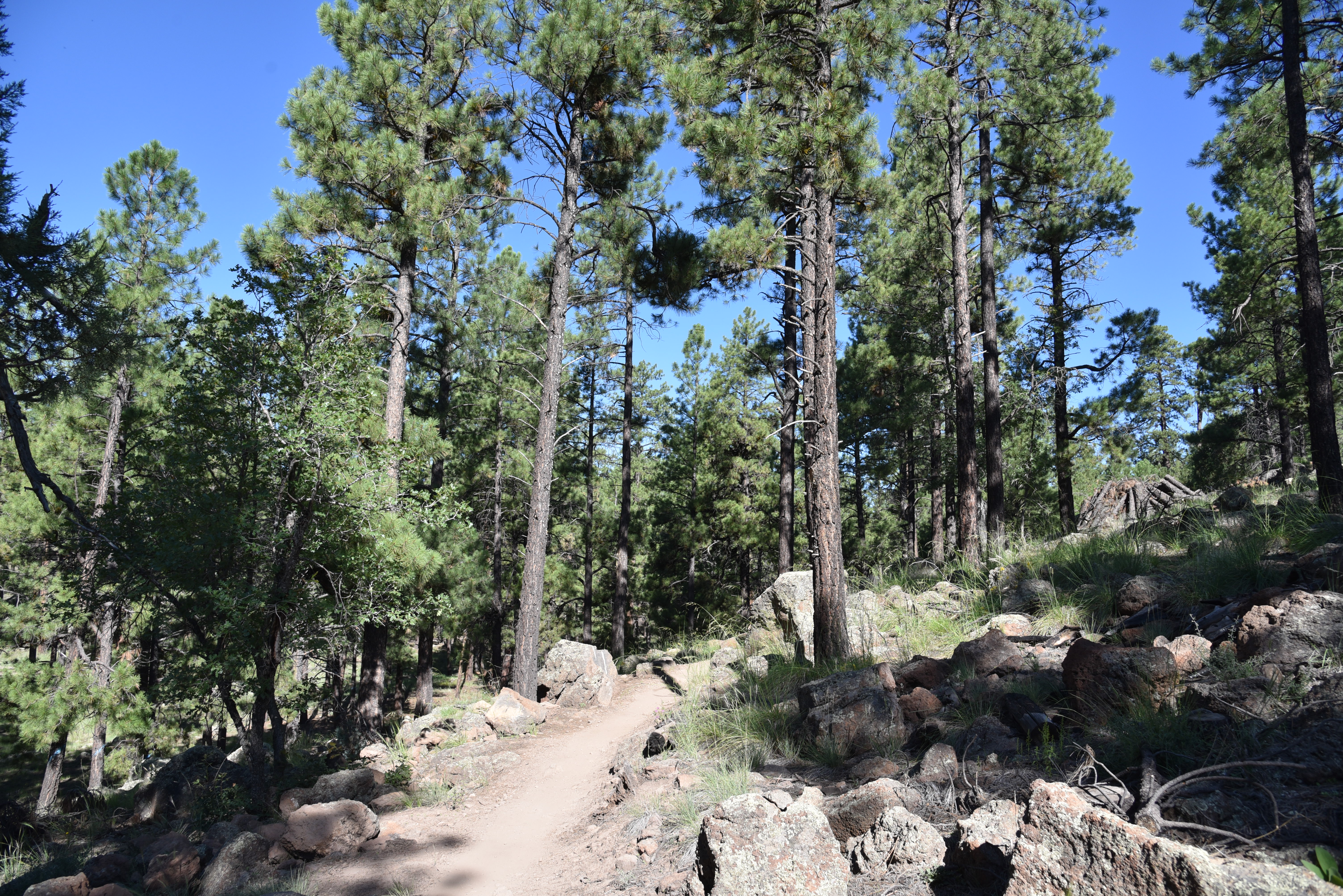
The hike begins in pine woodlands

The hike starts out as an easy, half-mile stroll

through pine woodlands before exiting the tree cover and heading uphill on the first of many sheer inclines. 

Brilliant scarlet creeper blooms May - October

Where the route begins its direct assault on the ridgelines and hills west of Lynx Lake the trail is surrounded by scrub oaks, manzanita shrubs, random juniper trees and acres of grasslands. 

Open to hikers, equestrians, bikes and small motorized vehicles, the trail follows a wide road of scaley, torn up metamorphic stone shelves and loose rocks. It’s difficult to imagine getting a bike, horse or ATV up this puppy.  If a dove jolt didn’t wake you up, this will.

Lush forest near Seven Mile Tank

 
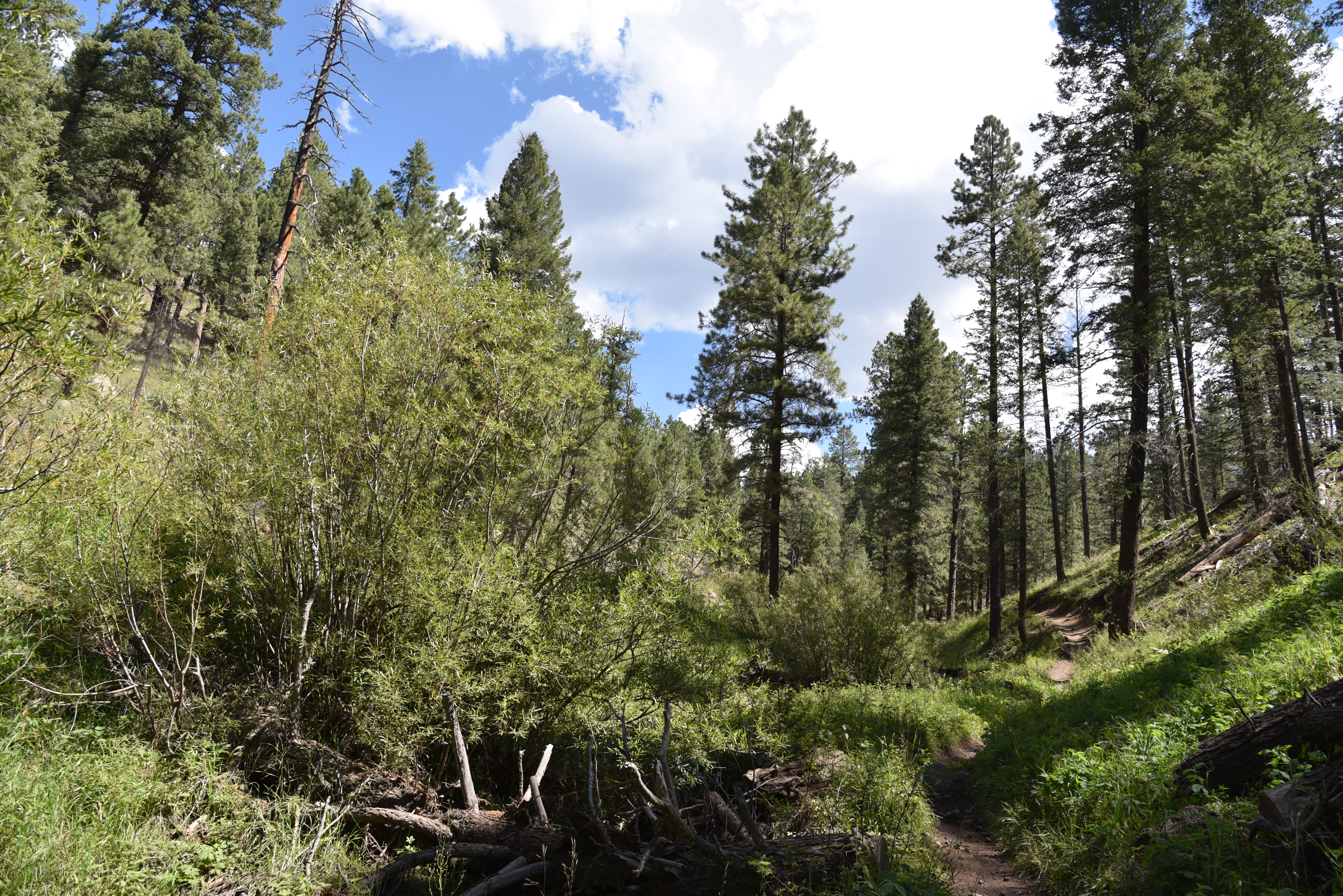
At the 1.3-mile point, the trail begins a drop back into pine forests, where it bottoms out at Seven Mile Tank, a shallow water catchment where canyon grape vines and moisture-loving plants and wildflowers thrive in a sun-dappled pocket of greenery. 
Trail moves between scrublands and pine woodlands

The shaded hollow attracts deer, swarms of pollinators and the domestic cattle that roam in this historic livestock grazing area.
Slimleaf lima bean blooms May - October

The brief respite from exposed ridges soon ends and the climbing resumes with more slippery, vertical segments that reveal ever-expanding views of Prescott Valley, Spruce Mountain, the granite dells near Watson Lake, the vivid green course of Lynx Creek and Flagstaff’s San Francisco peaks on the distant horizon.  
Orange globemallow mingles with western yarrow

From sunny landings on the way up, acres of alderleaf mountain mahogany bushes that sprout long, feathery seeds in summer thru early fall blanket the surrounding slopes like winter frost.  
Birchleaf buckthorn berries ripen in fall

After 2.3 miles of unrelenting up, the route meets Ranch Trail No. 62 before gradually ducking back into pine forests for the final walk to where the trail ends at the junction with Watershed Trail No. 299 in the shadow of 7,631-foot Bigelow Peak. 
Beware of rogue wildlife bursting from scrub

There aren’t any good loop options using the connecting routes, unless roads are used, which is why most hikers make the junction their turnaround point.
Prairie clover attracts pollinators

LENGTH:  6.2 miles up-and-back

RATING:  difficult

ELEVATION: 5,506 – 6,767 feet

GETTING THERE:

From State Route 69 in Prescott, go 2 miles south on Walker Road to the trailhead on the right just past the Highlands Center.

INFO: Prescott National Forest

https://www.fs.usda.gov/recarea/prescott/recreation/recarea/?recid=67659&actid=50

Monday, September 13, 2021

Botanical Bonanza

Botanical Bonanza

L-R: 1995 edition, 2012 edition, 2021 edition


One of the things readers of this blog appreciate most are the images and identifications of plants and wildflowers included with each hike description.  In addition to landmarks, geological formations and wildlife, vegetation is a defining characteristic of hiking trails.  Whether trekking through alpine tundra, pine-oak woodlands, chaparral or Arizona’s iconic Sonoran Desert, hikers encounter myriad species of trees, shrubs, cacti and wildflowers.  Appreciation of these colorful understories and canopies is enhanced by putting names to the sighted specimens.  

While I use multiple sources to help identify the plant photos I share, my go-to source for the past 25 years has been the Falcon Guide, Plants of Arizona.  About to be released in its third updated edition, the book features color images and accurate, concise descriptions of over 1000 plants that help non-pros like myself identify and learn about Arizona’s botanical bounty. Entries are sorted by flower color and descriptions include botanical names and plant family, habitat, blooming season, elevation range, whether the plant is native or invasive, common or rare and information about ethnobotanical uses, history and precautions.  The third edition has been upgraded with additional photos showing full-plant views and various flowering/fruiting stages of development.  A glossary of botanical terms, Arizona life zones and an overview of plant families round out this detailed, yet approachable guide. 


Plants of Arizona: Third Edition

By John F. Wiens and Anne Orth Epple

Falcon Guides

Paperback, October 2021, $34.95

512 pages, 6” x 9”


Tuesday, August 31, 2021

Schultz Creek Trail

SCHULTZ CREEK TRAIL

Aspens thrive on the upper reaches of Schultz Creek Trail

Slung between he edge-hugging dirt track of Schultz Pass Road and the sheer foothills below Mount Elden, Schultz Creek Trail rolls out like an emerald half-pipe.  Because of its fluid, north-south track, hairpin turns and mild jumps, the historic route in the Mount Elden-Dry Lakes Hills area just a few miles north of downtown Flagstaff is a magnet mountain bikers and hikers who don’t mind sharing the path with swooping wheeled traffic.

Mixed-conifer woodlands dominate much of the hike

The pine-cloistered trail clings to ledges above numerous drainages and the course of Schultz Creek.  The U-shaped space through which the trail runs is short on mountain views but long on woodland diversity.

The route shares space with the Arizona Trail

Throughout the hike, slash piles—pyramids of cut logs and brush--are stacked neatly off to the side.  The piles are part of the ongoing Midway portion of the Flagstaff Watershed Protection Project, a joint effort of state, city, and Coconino National Forest teams to help reduce the risk of catastrophic wildfires and post-fire flooding through treatments such as tree thinning and fuels reduction.

Views are spare in the "emerald half pipe."

Arizona gilia bloom May - September

Forest service contractors will be using heavy equipment to move the slash around Schultz Pass now through March 2022. Trail users should exercise caution and steer clear of oversized trucks around the Sunset trailhead and surrounding forest roads.  Parking at the south trailhead or overflow lot will be the smart move for the next few months.

Aspen fleabane color the trail July - October

The trail ducks among deep woods & aspen glens

Schultz Creek trail presents a constant but moderate climb that begins in Ponderosa pine forests that gradually merge with fir and spruce as the path approaches its higher elevations. 

A slash pile (center right) awaits removal

The first 2.9-mile slice of the route is also part of the Arizona National Scenic Trail Passage 34, one of the most beautiful and popular sections of the 800+-mile, state-traversing path. 
Yellow columbine bloom April - September

Right about where the Arizona Trail spins off to the left, aspen trees commandeer the landscape.  A break in the deep-woods shade that dominated much of the hike up to this point allows plenty of sun into the steep-walled ravine where the white-barked alpine trees thrive in moist meadows. 
Goldenrod is a common alpine summer bloomer

The final 1.5 miles to the north terminus at the Sunset trailhead stay close to Schultz Pass Road and the course of the creek. 
A monsoon storm brews over the Arizona Trail

Paralleling the seepy, swampy, willow-cluttered creek, the trail passes among colorful wildflowers fields and brambles before meeting the Schultz Loop trail, an optional mile-long detour that lands hikers near Schultz Tank where numerous routes link with the Fort Valley trail system, Kachina Peaks Wilderness and more Dry Lakes Hills paths.
Willows & brambles grow around Schultz Creek

LENGTH: 4.3 miles one way

RATING: moderate

ELEVATION: 7,200 – 8,080 feet

GETTING THERE:

South trailhead & overflow parking:

In Flagstaff, go 3 miles north on U.S. 180 and turn right onto Schultz Pass Road (Forest Road 420).  Continue for a half mile then make a hard left at the FR 557 junction to stay on FR 420 and go another half mile to the Schultz Creek trailhead.  There’s additional parking at the FR420/557 junction.

North trailhead:

From the Schultz Creek trailhead turnoff, continue another 4.9 miles on FR 420 to the Sunset trailhead.

INFO:

Coconino National Forest

https://www.fs.usda.gov/recarea/coconino/recarea/?recid=55172

Arizona Trail

https://aztrail.org/explore/passages/passage-34-san-francisco-peaks/

Flagstaff Watershed Protection Project

https://flagstaffwatershedprotection.org/

Tuesday, August 24, 2021

Margs Draw Trail

MARGS DRAW TRAIL

Margs Draw Trail is in Munds Mtn Wilderness


One of the most amazing things about hiking in Sedona is that, from many trailheads, it’s just a few steps from pavement to paradise.

The central Arizona destination known for its red rock formations and creek-side attractions is a cluster of low-slung buildings, two-lane roads and structural color schemes that nix the glitz.

High desert vegetation on Margs Draw Trail

Even fast-food giant McDonald’s acquiesces to the mood by swapping out its signature neon golden arches for a recessed teal roadside logo.  The freeway-and-high-rise-free zone allows Sedona to settle in with a minimally disruptive footprint among the high desert hinterlands of Red Rock Secret Mountain and Munds Mountain Wilderness Areas.
A sandstone ledge over Margs Draw

The deep gorge of Margs Draw

Although tame by wilderness standards, Sedona’s easy-access trails provide excellent ways for just about anybody to experience protected areas where only foot traffic and equestrian travel is allowed.  One old standard to try is the Margs Draw Trail.

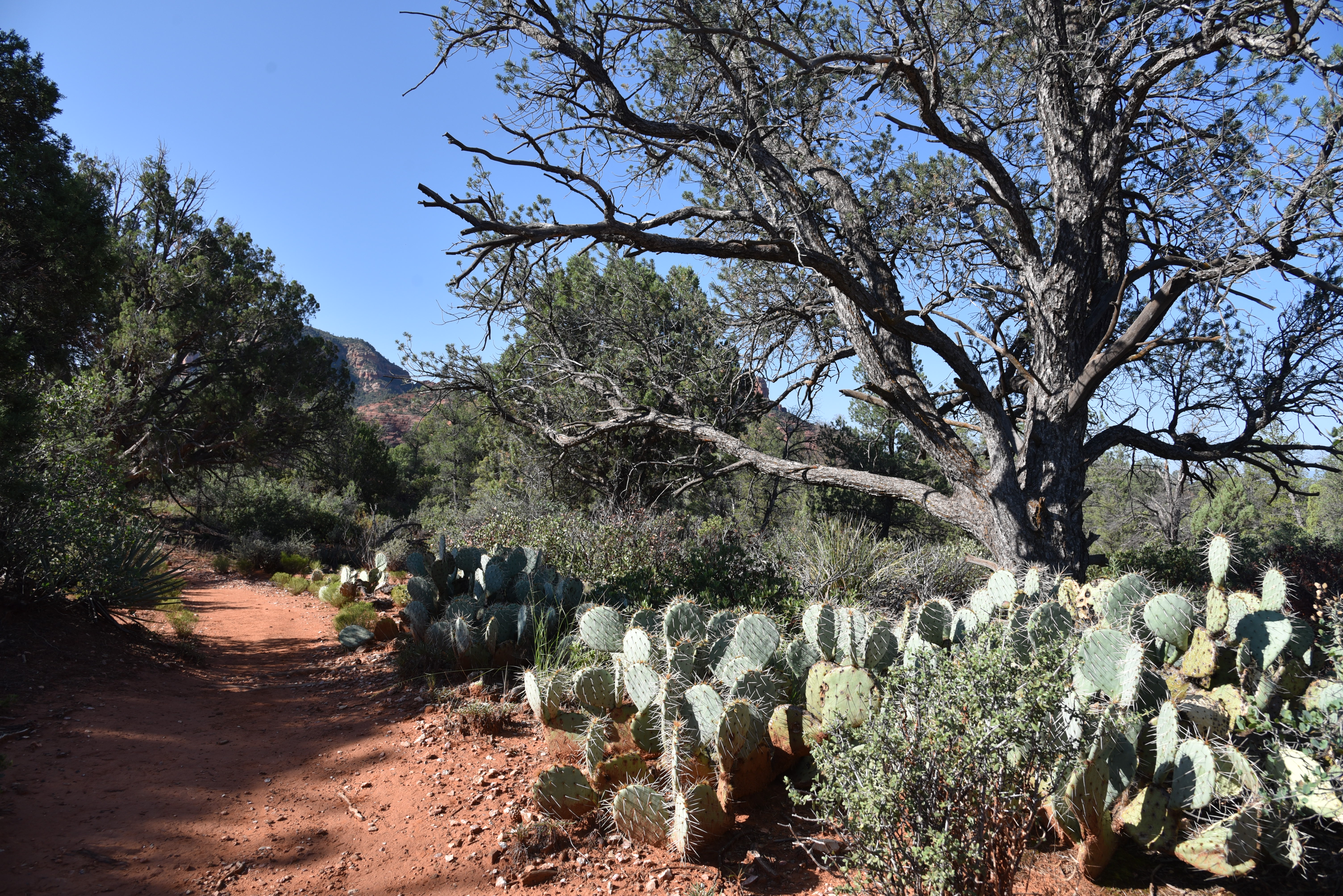
Prickly pear cactus thrive in sunny spots on the trail

Located close to the city center, the out-and-back route is easy to follow, has three convenient access points and links up with other trails at both ends for longer hikes. 

The trail is within the Munds Mountain Wilderness

Beginning at the north end of the 2-mile straight-shot route, the hike follows a short access path from the Schnebly Hill trailhead before crossing a road and stepping into the Munds Mountain Wilderness Area. 
Arizona cypress trees shade parts of the trail

The north-south running trail traverses foothills below the chiseled pinnacles surrounding 6,834-foot Munds Mountain.  A brim of weather-sculpted sandstone pillars bolsters the trail’s eastern edge. 
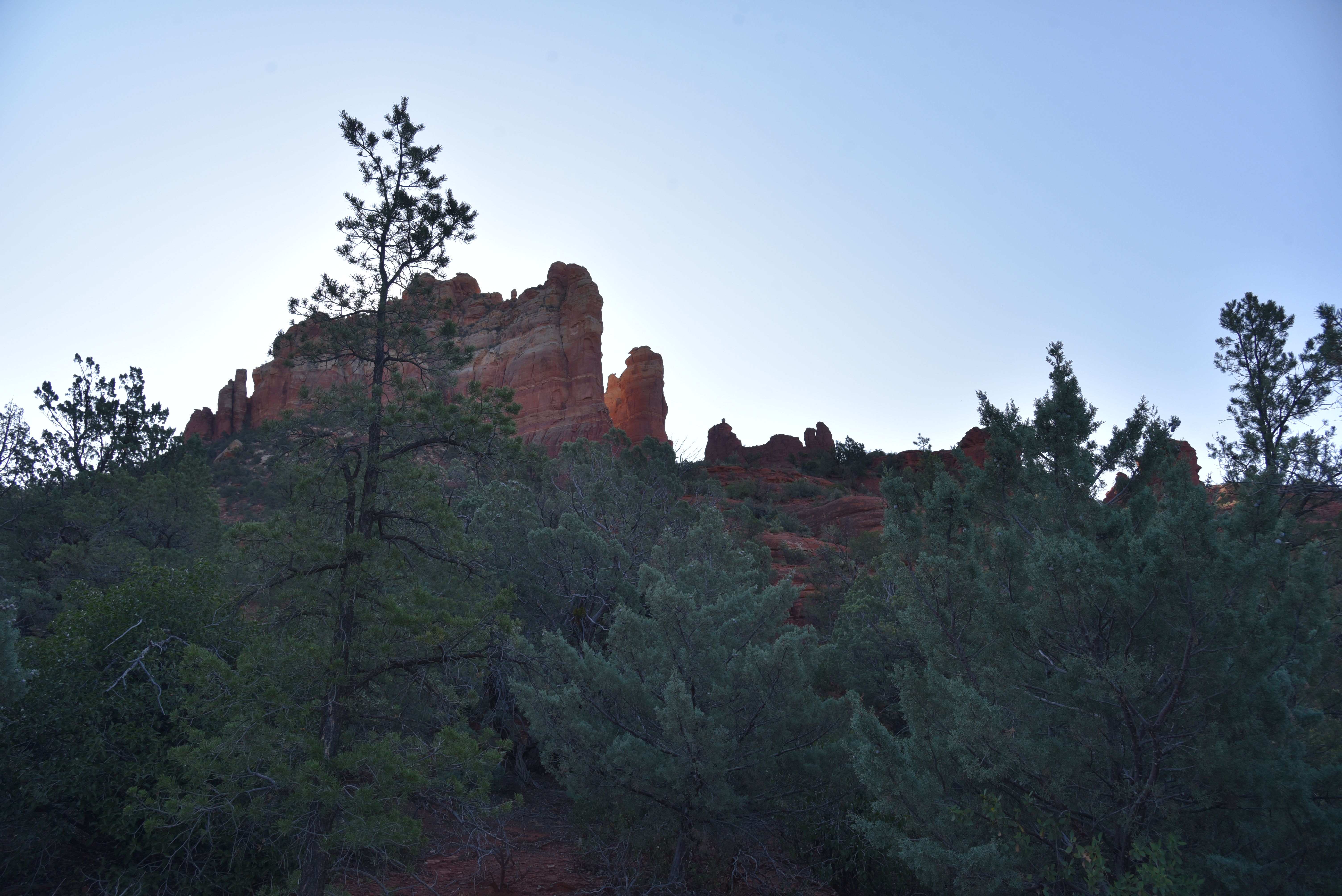
Snoopy Rock (center) is a highlight of the hike

Within the first half-mile, the iconic Snoopy Rock formation that resembles the beloved Peanuts cartoon canine reclining, belly-up on his doghouse appears on a ridge overhead. 
Jagged pillars of Munds Mountain Wilderness

Jogging among cypress woodlands, sunny ledges and rocky drainages, the trail also showcases views of Chimney Rock, Wilson Mountain and Capitol Butte.  At the half-way point, there’s a junction for the Sombert Lane trailhead which can be used to create a shorter version of this hike. 
Capitol Butte (far right) seen from the trail

About a 0.2-mile from the junction, the trail meets the gorge of Margs Draw. 
Easy access at the urban-forest interface

Blackfoot daisies bloom March- December

The deeply incised channel is marked by a curved sandstone overhang hovering over a slickrock passage dotted with cottonwood trees and pools of water left by monsoon rains. 

Sacred datura bloom April - November

Sweet-smelling wilderness woodlands

Moisture funneled through this major drainage feeds a colorful collection of pollinator-attracting wildflowers and blooming shrubs.  Soon, the prominent profiles of Twin Buttes and distant glimpses of the mountains and mesas of Prescott National Forest comes into view.
Crucifixion-thorn bloom May - August


A final downhill dip ends at the Broken Arrow trailhead where hikers may double back or use the map kiosk to continue to the loopy, piggy-named trails orbiting Twin Buttes.
Flat-topped Wilson Mountain seen from the trail

LENGTH: 4.4 miles roundtrip

RATING: easy

ELEVATION: 4,231 – 4,451 feet

GETTING THERE:

North, Schnebly Hill Trailhead

From traffic circle located at the Oak Creek bridge on State Route 179 in Sedona, turn right onto Schnebly Hill Road and go one mile to the trailhead on the left. Roads are suitable for all vehicles. There is a restroom at the trailhead. FEE: A Red Rock Pass or equivalent is required. There is a permit kiosk at the trailhead.

Midway, Sombart Lane Trailhead

From State Route 179 about a mile before the traffic circle over Oak Creek, turn right onto Sombart Lane and continue 0.2-mile to the parking area. Hike the 0.2-mile access path to the trail.  No fee or facilities.

South, Broken Arrow Trailhead

From State Route 179 1.4 miles south of the SR179/89A traffic circle, turn right onto Morgan Road and continue 0.5-mile to the trailhead.  No fee or facilities.

INFO:

Coconino National Forest

https://www.fs.usda.gov/recarea/coconino/recreation/hiking/recarea/?recid=55206&actid=50