Find A Trail. Start Your Search Here:

Thursday, November 12, 2020

The Best Valley Hikes Not Named Camelback Mountain

LOCAL HIKERS PICK THE VALLEY'S BEST TRAILS

Black Canyon Trail: Gloriana Segment


I get asked this a lot—"What are the best hikes in the Phoenix area?”  While my answers are unapologetically subjective (and off the wall), I find that when I turn the same question back on the asker with a, “What do YOU think?”, I get consistent responses: Camelback Mountain and Piestewa Peak.Which leads me to ask, is there a  difference between “best” and what first comes to mind?Clearly Camelback and Piestewa have high-name recognition. Any hotel concierge with a pulse can rattle them off, but does that mean they are the “best” hikes?  While these iconic trails do have their finer points such good workouts and great summit vistas, they are also notoriously crowded, noisy, prone to search and rescue incidents, and they often smell like laundry additives and cologne. Finding parking at these trailheads can be a door-dinging nightmare. Not big plusses per my rating criteria.
South Mountain Park

Here in the Valley, we are fortunate to be surrounded with hundreds of miles of fantastic trails, so finding alternatives to the Big Two is easy. Who better to ask for recommendation than local hikers.

I recently surveyed the Arizona Hiking Group, a 29,000+-member Facebook community of resident and winter visitor trekkers for their top picks.  Here’s what they had to say.

CENTRAL CITY CLASSICS

These scenic treks in and around the central Metro Phoenix corridor are crowd-pleasing classics without the huge crowds.

It takes some huffing and puffing to get to the good stuff, but Phuong La of Goodyear says it’s worth the effort to explore Hidden Valley in South Mountain Park in Phoenix.

The Natural Tunnel in Hidden Valley

Hidden Valley via Mormon Trail is a good fun hike that has many beautiful views,” La says.  The 3.3-mile loop begins with a hefty 700-foot climb among the rocky clefts of Neighborhood Canyon before landing on the spine of the Guadalupe Mountain Range where the fun part begins. 

“The hike starts off getting your heart racing with the elevation incline, then you hit the loop,” La describes. “I always go counterclockwise and hike toward Fat Man’s Pass where you can slide between two large boulders. When you pass that area, there are boulders you can slide under, around or over and then you get to the short Natural Tunnel—an amazing rock formation. Then, you hike back down and see the beautiful Phoenix scenery as you get back to your car.”

https://www.phoenix.gov/parks/trails/locations/south-mountain/trail-descriptions-and-map


Ask John Donnelly of Chandler to point you toward a great hike in South Mountain Park and he’s quick to respond.  “That’s easy, Telegraph Pass,” he shares.  Easily accessible from the Desert Foothills Trailhead, the 1.5-mile path climbs 520 feet and connects with the National Trail where hikers may continue on to the iconic Telegraph Pass Lookout or connect with the park’s other trails for a longer hike.

Telegraph Pass Lookout

“It has petroglyphs, city views and great desert views,” Donnelly says of the Valley classic.  “It can be made into a quick and easy hike or extended into a longer one. It isn’t super crowded, and has great sunset views. The trail head parking lot has just been re-done and most importantly, it’s free!”

https://www.phoenix.gov/parks/trails/locations/south-mountain/trail-descriptions-and-map


Lookout Mountain is my absolute favorite local hike,” says Toni Barker of Phoenix. Located in the North Phoenix suburbs in Lookout Mountain Preserve, the 0.6-mile Summit Trail spins off the park’s 2.6-mile Circumference Trail for a good workout with 474 feet of elevation gain.

City vistas from Lookout Mountain

“I rarely hike during the week but when I get the urge I can always count on seeing an amazing sunset there,” Barker says about the mildly challenging trek. “The short, steep hike has 360-degree views that always amaze me. No matter how many times I’ve been up there it always feels like a first-time experience.”

https://www.phoenix.gov/parks/trails/locations/lookout-shadow-mountain/trail-map-and-descriptions


NORTH VALLEY PICKS

Packed with mountainous parks and preserves at the edge of Tonto National Forest, the towns of Cave Creek, Scottsdale and Fountain Hills are ever-expanding hiking epicenters.


Jill Diamond of Phoenix suggests a little gem hiding in plain sight near the hyper-popular, difficult-rated Tom’s Thumb Trail in Scottsdale’s McDowell Sonoran Preserve.

A fallen "mushroom rock" on Marcus Landslide Trail

“I always suggest Marcus Landslide for an easier hike,” she says. The 4.6-mile roundtrip trek with 280 feet of elevation gain has much to offer besides a healthy walk in the desert.

“There’s so much cool geology, fun rock formations and interpretive signs so you can learn something too,” Diamond adds.

https://www.scottsdaleaz.gov/preserve


For a hike that encompasses everything amazing about desert hiking, Michelle Lottner of  Phoenix heads to the Metate Trail in Spur Cross Ranch Conservation Area in Cave Creek.

Metate Trail in Spur Cross Ranch

“It’s beautiful because you get the rocks, the creek and the amazing saguaros!”  The moderate-rated hike is usually done as a 2.4-mile loop with the Spur Cross Trail and the Towhee Trail and is an ideal way to introduce out-of-town visitors to the beauty and diversity of Sonoran Desert terrain and ecosystems.  “It is a magnificent area overall.” There’s a $3 per person entry fee.

https://www.maricopacountyparks.net/park-locator/spur-cross-ranch-conservation-area/


Looking for less-crowded scenic loop hike that’s easy to get to? Ingrid Gold of Phoenix picks a meandering, mountainous route in the North Valley.

Go John-Overton Loop Cave Creek Regional Park


“I recommend the Go John-Overton Loop in Cave Creek Regional Park,” Gold says.  The 6.6-mile loop with 411 feet of elevation gain circles several geologically-complex peaks, topping out at Gunsight Pass for sweeping vistas of the East Valley and beyond.

“Especially in these times of COVID-19, it’s totally worth the $7.00 entrance fee to avoid the crowds,” Gold adds.

https://www.maricopacountyparks.net/park-locator/cave-creek-regional-park/


While you’re in the neighborhood:

Hikers are raving about the new Fountain Hills McDowell Mountain Preserve, Adero Canyon trailhead.

View from the Promenade Trail in Fountain Hills McDowell Mountain Preserve

Opened in 2018, the trail-laced, lofty space is sandwiched between golf communities, McDowell Mountain Regional Park and Scottsdale’s McDowell Sonoran Preserve, creating a hilly buffer zone that provides seamless hiking among the preserves and outstanding views of surrounding river valleys and wilderness peaks.  

https://www.fh.az.gov/295/McDowell-Mountain-Preserve-Trails


WEST VALLEY STUNNERS

Bolstered by the majestic White Tank Mountains, two parks--one an old standard and the other a rising star--combine for miles of way out west hiking options.

Valley Vista summit off Turnbuckle Trail


For Valerie Ryan of Tucson, there’s a trail in a new West Valley hiking hub that’s worth a drive from anywhere in the state.

Turnbuckle Loop in Buckeye,” she says. Located just 2 miles north of Interstate 10 in the White Tank Mountains, the Turnbuckle Trail anchors nearly 20 miles of routes in Skyline Regional Park. The mountain preserve that opened in 2016 also offers camping by reservation and family-friendly amenities.  “Turnbuckle is a 3.4-mile loop with 560 feet of elevation gain and has an optional side trip to the Valley Vista summit that adds 0.66 roundtrip miles. It has a good balance of switchbacks and incline and declines and the views are beautiful,” Ryan adds.

https://www.buckeyeaz.gov/residents/skyline-regional-park


While you’re in the neighborhood:

Looking for some remote, difficult hikes? Find them in Maricopa County’s largest regional park.

Old standard, White Tank Mountain Regional Park boasts over 30 miles of trails including three difficult mountain routes: Goat Camp, Mesquite Canyon and the notoriously sketchy Ford Canyon trails.

White Tank Mountain Regional Park


The 7.4-mile Ford Canyon Trail gets you into the feral end of the park’s 30,000 acres. It’s not for amateurs, though.  The trail is rated extremely difficult, has over 1,400 feet of elevation gain and requires traversing edgy rock ledges and attention to route finding where the path crosses bare stone.  The payoff is solitude, up-close encounters with the white granite depressions—the eponymous “tanks”--that collect water and hard-earned sense of accomplishment .

https://www.maricopacountyparks.net/park-locator/white-tank-mountain-regional-park/


EAST VALLEY

Replete with kids and cul-de-sacs, bustling business centers and way stations for winter visitors, the cities of Mesa, Apache Junction and Queen Creek also exude a vibrant outdoorsy vibe thanks to a rich assortment of nearby, easy-access parks and trail systems.

Wind Cave in Usery Mountain Regional Park


“I like Wind Cave Trail at Usery Mountain Regional Park,” says Becky Brown of Gilbert.

The 3-mile roundtrip hike that climbs 812 feet to a shallow rock overhang, is the park’s most popular trail.  The Mesa recreation hub has more than 30 miles of groomed trails, picnic ramadas, campsites, restrooms and a nature center making it a favorite destination for hikers of all levels of experience.

“Wind Cave is a short but hard hike with great views of the East Valley from the top,” Brown said. “I love to time my hikes so I get to the top right at sunset.” There’s a $7 daily fee per vehicle.

https://www.maricopacountyparks.net/park-locator/usery-mountain-regional-park/


Queen Creek resident Nimisha Patel doesn’t have to travel far to enjoy outstanding desert hiking.  San Tan Mountain Regional Park straddles over 10,000 acres of diverse desert terrain in the Southeast Valley.  Her favorite trail pick from among the park’s 9 routes is one of the most challenging because it climbs 584 feet on a rugged incline.

Crested saguaro on the San Tan Trail

Gold Mine Trail (2.5 miles one way) explores the San Tan Mountain range. The trail does take you to 2,300 feet—a significant change in elevation if that is desired,” Patel shared.

“Before dusk the view of the Valley is beautiful from up there. I am sure a night hike would be just as beautiful. It takes you into the middle of the range so you are enveloped into the mountains.  I wish I had a chance to go more often.”


Holly Kim Kal of San Tan Valley also recommends San Tan Mountain Regional Park.

“I just renewed my annual county parks hiking pass as live less than 10 minutes from the park. I love the San Tan Trail (6.4 miles with 234 feet of elevation gain) because of the gorgeous views and the crested saguaro, especially in spring when the cactus blossoms are blooming! I call it the "rock & roll saguaro". You can add on to the trail using different routes or loops to make it a longer hike.” 

There's a $7 per vehicle daily fee.

https://www.maricopacountyparks.net/park-locator/san-tan-mountain-regional-park/


The Sonoran Desert (Hawes) Trail System in Tonto National Forest north of Mesa winds through horsey rangelands near the Granite Reef Recreation Area. Along with a chance to see the wild mustangs that live in the mesquite flood plains, the trails offer views of the Salt River and the Goldfield and Usery Mountains. Yoshimi Asada Carroll of Gilbert recommends the 30+-mile maze for its scenic qualities and customizable loop options.

Sonoran Desert (Hawes) Trail System

Saguaro Trail Ridge Trail and the Granite Trail Loop are my favorites,” Asada says. Every time I see Red Mountain north of the Salt River I have to stop and admire! It’s so pretty and there are so many trails connected, you can make it really long too.”

https://www.fs.usda.gov/detail/tonto/landmanagement/projects/?cid=fsbdev3_018768


WILDERNESS WONDERS

With several trailheads located just a few miles from Valley urban centers, immersing in the untamed, volcanic terrain of the Superstition Wilderness in Tonto National Forest is just a short drive away.  

Massacre Grounds in Superstition Wilderness


For a quick introduction to the area, Dawn Harmon, of Scottsdale recommends a local treasure.

“I love Second Water Trail in the Supes,” she says about the 3.3-mile route with 480 feet of elevation gain that’s accessed from the First Water trailhead near Apache Junction.

Second Water Trail in the Superstition Wilderness

“I can't wait to go back when there's water, but regardless, you get desert, a little canyon and bouldering and great views of Battleship Mountain and beyond.”  The trail is a popular starting point for longer loops or backpacking trips.


While you’re in the neighborhood:

Located just outside of Lost Dutchman State Park, the Massacre Grounds Trail climbs 1,069 feet along a ridgeline that was the site of an 1848 altercation between Spanish miners and a band of Apaches.  The 6-mile roundtrip hike ends at a scenic overlook with views of Weavers Needle, Goldfield Mountains and the park’s “praying hands” rock formation. Go after a rain storm and you’ll get to see the famous Massacre Falls cascading over mineral-stained vertical cliffs.  Historical artifacts (and not-so-reliable folklore) about the massacre and the area’s gold mining history can be found at the nearby Superstition Mountain Museum.

https://www.fs.usda.gov/detail/tonto/specialplaces/?cid=fsbdev3_018739

http://superstitionmountainmuseum.org/


AWESOME OUTLIERS

It takes driving on bumpy, dusty roads to get to them, but for those craving solitude or a hard-earned summit hike, these fringy favorites are just the ticket.


Vulture Peak

Visible as an oddly-shaped behemoth jutting above the Hassayampa Plain near Wickenburg, Vulture Peak Trail is a quirky destination for hikers who enjoy a test of nerve. The 4-mile route ascends 1,180 feet including a strenuous 240-foot hand-over-foot scramble to get to the summit proper.  Worth it?  Goodyear resident Pat Brouillet Matusiak thinks so.

“Vulture Peak begins as a stroll through the saguaros of the Sonoran Desert followed by a challenging hike to the saddle (3,420 feet),” she says. While some hikers make the saddle the turnaround point, sure-footed, agile trekkers can go for the prize. “Continue up the primitive trail to the summit (3,660 feet) for amazing views.”

https://www.blm.gov/visit/search-details/274359/1


While you’re in the neighborhood:

Drinking Snake segmentof the Black Canyon Trail

Used since ancient times, the Black Canyon Trail that runs between North Phoenix and the town of Mayer near Prescott, has been repurposed into a stunning long-distance recreational route. The 80+-mile route that passes through deep canyons, ghost towns, expansive grasslands, abandoned mining outposts and creek-laced back country is divided into approachable segments with multiple trailheads and access points. Whether done as a straight-through backpack or short day hike, this re-claimed historic treasure makes for a satisfying trip into what the Black Canyon Trail Coalition calls the “Arizona’s Outback”.

http://bctaz.org/


AUTHOR’S PICK

Allow me to present the most invisible Elephant in the Room you’ll ever encounter: The Maricopa Trail. While many hikers have noticed the distinctive trail signs (that’s a Harris’s Hawk in the logo), few understand the scale of the epic route that circles the Valley.

Maricopa Trail: Bronco-Spur Cross segment

Most succinctly stated, the Maricopa Trail is a microcosm of the Valley of the Sun.

Over its 317-mile course, the non-motorized recreational trail connects 10 county parks, wanders through open desert and farmland, tethers to suburbs and urban centers and passes by the canals, dams and lakes that deliver water to the one of the largest and fastest-growing areas in the Southwest.

Maricopa Trail: Usery Mountains

If you want a walking tour of the Valley’s diverse nature, this is your hike.

In October of this year, the Maricopa Trail was honored with a

Coalition for Recreational Trails Award for “Engaging Public Sector Partners”. This national recognition pays tribute to the many years of work by volunteers, land management agencies public sector leaders and the Maricopa Trail + Park Foundation for bringing the massive effort to fruition through a collaboration of stakeholders.

Maricopa Trail: South Mountain Park

Phase I of the non-motorized route was completed in 2019, but the trail is far from done.

Distinctive signs mark the 317-mile Maricopa Trail


Maricopa Trail: sign at White Tank Mountain

Phase 2 rolled out this year with designs for a spur trail that will connect with the planned 70,000-acre Vulture Mountain Regional Park in Wickenburg that’s on track to open in 3 to 5 years.  The trail is a huge accomplishment that few communities across the country can match. It’s like having an Appalachian or Pacific Coast Trail in our own back yard.

https://www.maricopacountyparks.net/things-to-do/activity/maps/


Tuesday, November 3, 2020

Deer Flat

DEER FLAT

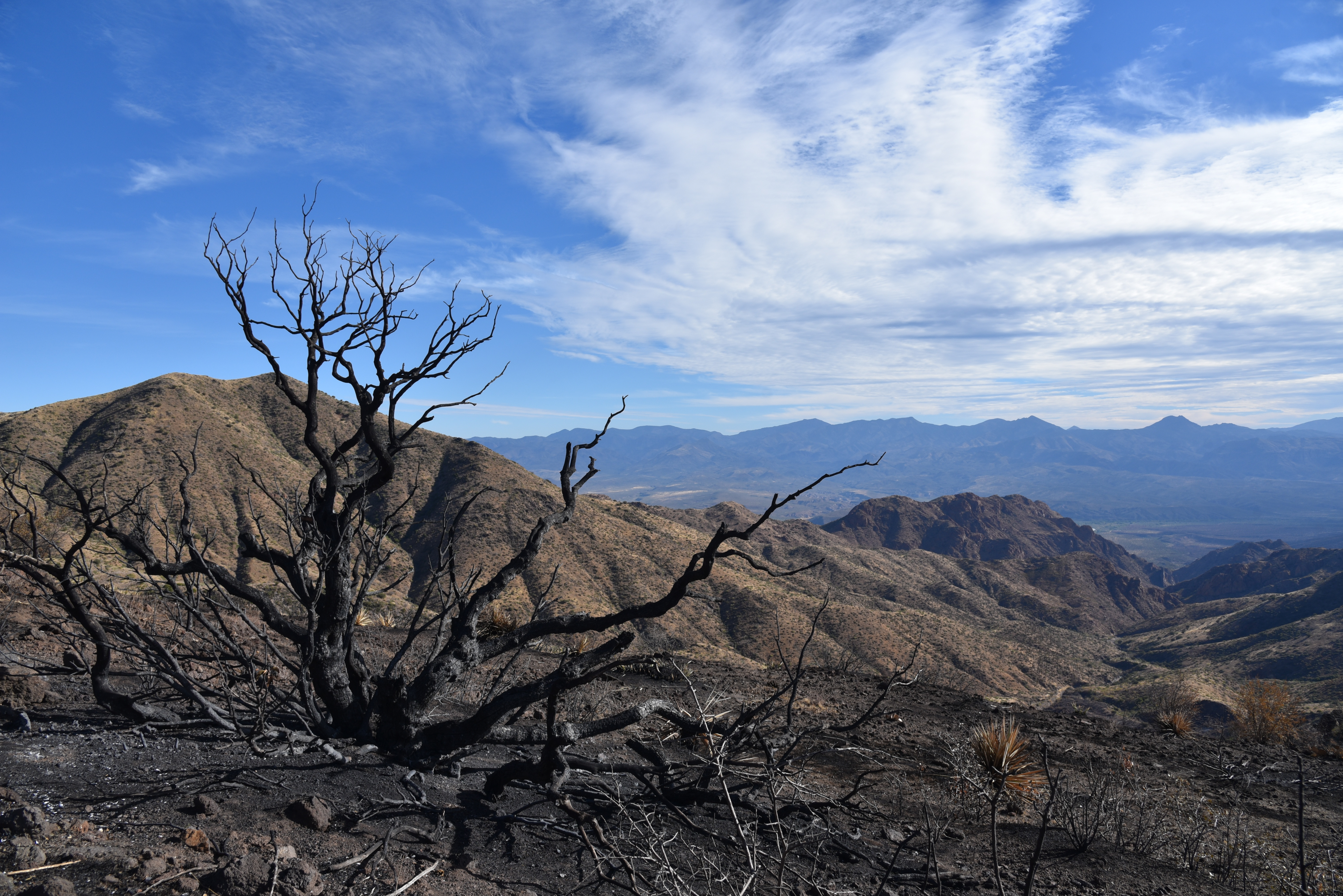
A tree burnt by the Sears Fire teeters above Buck Basin

It’s been a rough year for Deer Flat.  Pressure from an extended drought and the

Sears Fire in the back country north of Cave Creek has altered the terrain on the breezy, mountain-bound rangeland.  But the place has grit and “good bones” so it wears the effects of these most recent punches like just another pair of black eyes that will heal. 

A calming scene near the top of Deer Flat

Deer Flat sits at the top of a rise among the prominent peaks of Humboldt Mountain (5,204 feet and easily spotted by the big white ball FAA station on top), Willow Spring Mountain (4,914 feet)  and Maverick Butte (4,870 feet)—the enduring bone structure that defines the area.  Forest Road 1099, a rough OHV route that’s been adopted by the Tonto Recreation Alliance, a non-profit volunteer group that works with Tonto National Forest to educate the public about responsible off-highway vehicle use and resource conservation, provides access through the rugged desert space.

Milkweed pods dry in the sun on Deer Flat

Humboldt Mountain (center horizon) soars above Deer Flat

The hike begins with an easy walk through grassy foothills just outside of the scar of the Sears Fire which burned more than 14,000 acres of Tonto National Forest this past October.

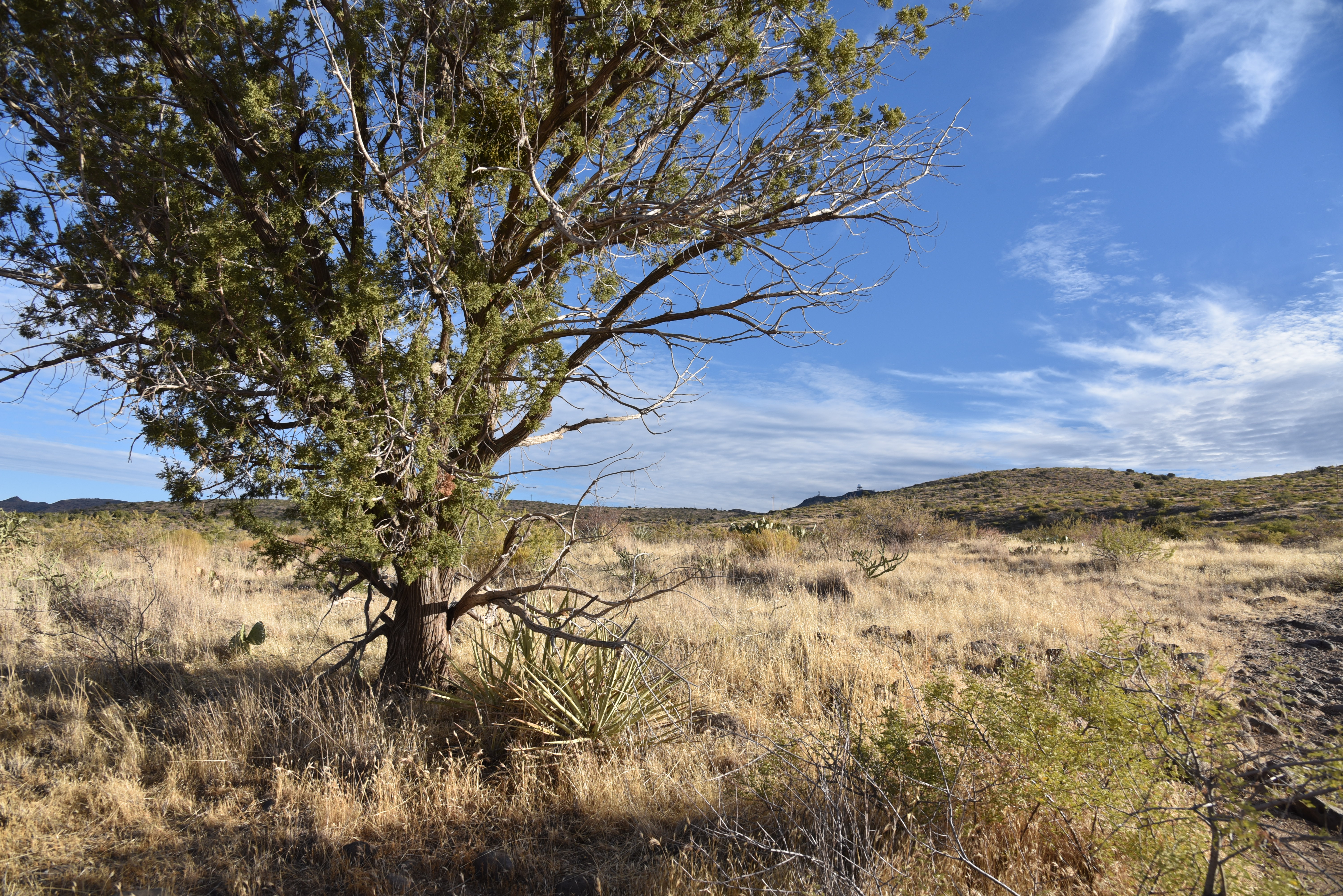
Open grasslands and junipers define Deer Flat

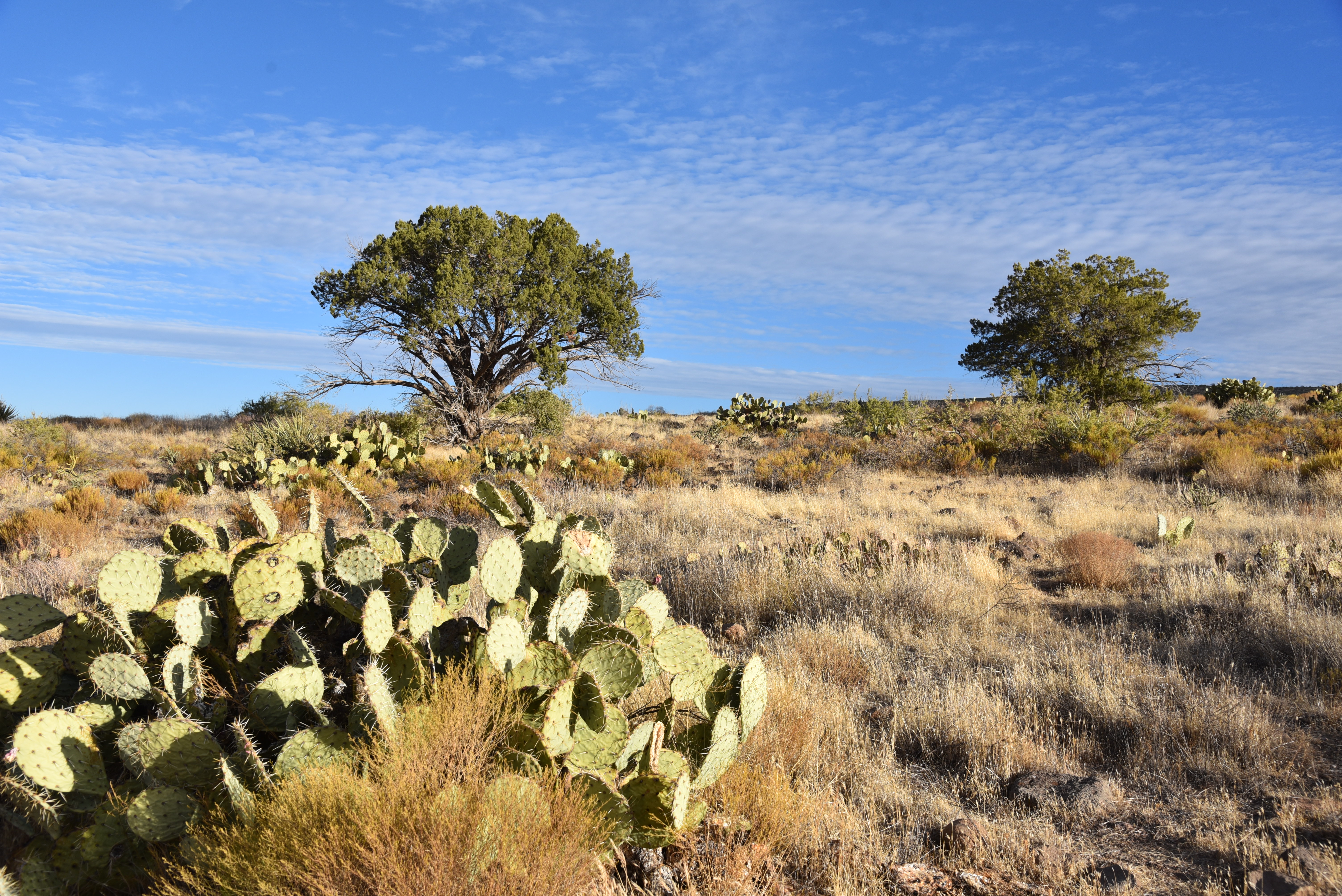
Cacti and scrub line FR 1099

A hiker gazes back at the New River Mountains from Deer Flat

As the road makes a gradual but constant ascent on a rocky, wobbly track, amazing views of the New River Mountains to the west and peeks at Scottsdale’s Pinnacle Peak to the south get bigger and better with each foot of elevation gained.  At near the two-mile point where a drought-dry stock tank sits off to the right, evidence of the fire begins to creep up. 
Pinnacle Peak visible in distance from the road up to Deer Flat

Evidently, the road served as a fire break that spared a scenic expanse of junipers and scrub oak north of its rough-cut route  where glimpses of hazy peaks jutting above the horizon hint at the combination of destruction and resilience that lies ahead.  The final slog to the hike’s high point culminates at the edge of Buck Basin with jaw-dropping views of the Verde River Valley more than 2,000 feet below.  The road curves sharply southward on a ledge above the precipice where the blaze took a heavy toll.  At this writing, the cause of the blaze is still under investigation but its path of blackened stubble and acres of ash bear witness to its intensity. Skeletal, charred trees and cacti fried to a crisp teeter creepily over scorched earth backed by distant views of the familiar profiles of Weavers Needle in the Superstition Wilderness and Four Peaks in the Mazatzal Mountains. 
Catclaw acacia grows abundantly on Deer Flat

From this dizzying, desolate platform, the vivid green corridor of the Verde River can be seen winding unscathed at the bottom of the gaping basin as it flows south between Horseshoe Reservoir and Bartlett Reservoir.  The road continues for a half-mile to South Deer Flat Tank, another parched water hole tucked into a ravine that makes for a good turnaround spot. 
The area around So. Deer Flat Tank is now prone to flooding

Fire damage around the tank is severe and its location in the folds of mountain foothills puts it at risk for flooding. Avoid hiking here during or immediately following storms because without deluge-mitigating vegetation water will run in torrents and you could be trapped, injured or swept away.
The hike follows Forest Road 1099

Much of Deer Flat escaped the Sears Fire


Despite the aftermath of fire and ongoing drought, a hike up to Deer Flat remains a stunning adventure.  Bemoaning memories of “what was” while hiking through a burn scar like this one might offer cathartic release, but it’s a buzz kill and also misses the big picture. 

The Sears Fire scar meets FR 1099

When viewed through the lens of geological time, human memories are short, fickle and finite.

Cycles of drought, fire, flooding and climate change may abruptly alter vegetation and surface characteristics in relatable time frames of days, months, years or centuries. This is the stuff we remember. But the underlying bone of resilient geological land forms hold steady.

Morning light in Tonto National Forest

Beautiful desert vistas abound on Deer Flat

Their appearance evolves over eons of seismic jolts and erosion. Observing these gradual transformations requires imperceptible timelines and more memory than we have. So, just enjoy the moment.
Maverick Butte (right) stands tall over Buck Basin

LENGTH: 5.7 miles round trip

RATING: moderate

ELEVATION: 3,585 – 4,493 feet

GETTING THERE:

From Loop 101 in North Scottsdale, take the Pima/Princess Road exit and go 13 miles north on Pima Road to Cave Creek Road.  Turn right (east) and continue on Cave Creek Road (a.k.a. FR 24, Seven Springs Road) to Forest Road 1099 located between MCDOT mile markers 9 and 10.  The road is signed but is easy to miss—it’s on the right.  There’s a dirt parking circle a few yards in.  Roads are maintained dirt suitable for all vehicles.

INFO:

Tonto Recreation Alliance

https://www.tralaz.org/


Wednesday, October 28, 2020

Corral Loop

CORRAL LOOP 

McDowell Sonoran Preserve

Brown's Mountain seen from Brown's Ranch Road

A mile and a half north of the busy Brown’s Ranch trailhead, a gnarled mesquite tree grows through and around the crumbling walls of concrete feed trough.  Nearby, tangled barbed wire, weather-worn and clinging tenuously to wood posts, surrounds a conglomerate of disintegrating foundations and rusty metal scraps.  

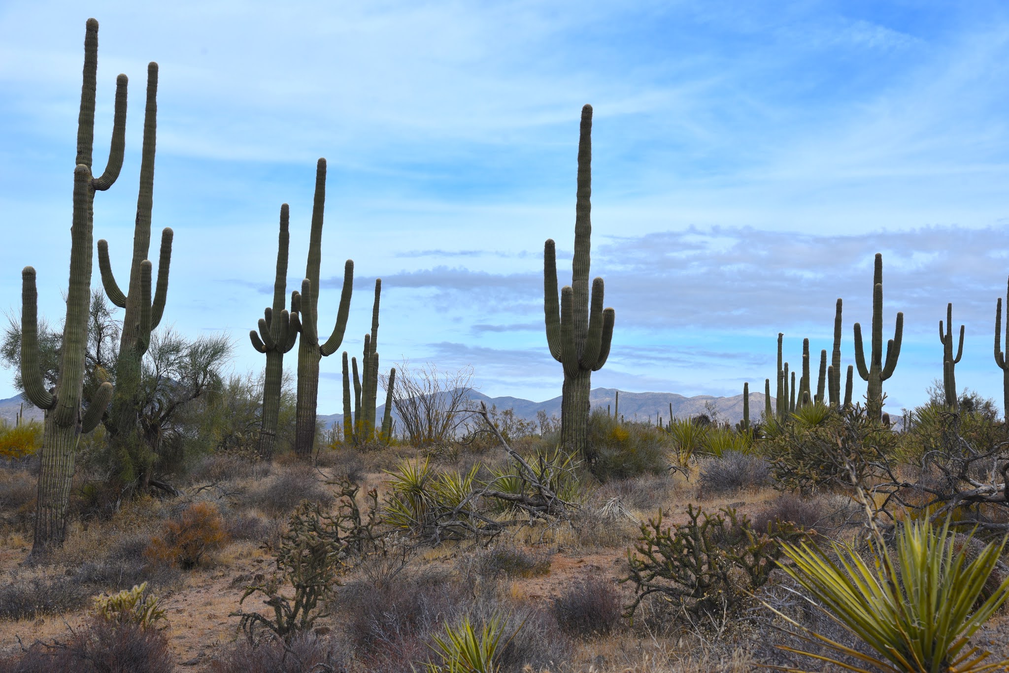
Saguaros tower over the Corral Trail

The relics are what remains of Brown’s Ranch.  Established in 1916, the 44,000 acre operation ran cattle in the mountainous desert space before being abandoned in mid-century.  The historic site, which is now part of the McDowell Sonoran Preserve, is the key attraction on the Corral Trail in the popular Scottsdale recreation hub.
Yuccas sway above Brown's Ranch Road

Desert plants grow among the ruins of Brown's Ranch

The ranch site can be reached by following Brown’s Ranch Road north to the Corral Trail.  The 2.3-mile path swings through gorgeous Sonoran Desert between the distinctive flat-top form of Brown’s Mountain (3,253 feet) and the jumbled granite mounds of Cholla Mountain (3,406 feet).  The first set of ranch ruins appear off to the left just a few yards from the road junction.  

A Phainopepla bird perched on a yucca eyes nearby mistletoe

A bird nest (usually cactus wren) built into a cholla cactus

Even with encroaching cacti, catclaw, frothy turpentine bushes and stray twigs poking through cracked stonework, the old west character is so animated here that you might expect to find cattle grazing among the ruins.  Any present-day rustlings, though, are those of browsing javelina, deer, rabbits, lizards and chattering Phainopeplas—black, red-eyed birds with head crests that resemble cardinals-- feeding on invasive mistletoe drooping from ironwood trees.

A disintegrating foundation at the Brown's Ranch site

Cholla Mountain (center) & Granite Mountain (right) seen from Brown's Ranch Road

A string of barbed wire fencing trailing off from the main site soon dissolves into thickets of jojoba bushes and spiny yucca that line the trail as it swings north and west through open desert with towering saguaros and distant views of the Cave Creek Mountains to the north and Sierra Ancha Mountains to the east.  Occasional glimpses of sagging fences are the only relics visible until near where the trail reconnects with Brown’s Ranch Road.

Blue Palo Verde trees grow along the route

Beware of the notoriously sticky "Jumping Cholla"

Navigating the trails of McDowell Sonoran Preserve is easy

The desert reclaims its territory

Cave Creek Mountains seen from Brown's Ranch Road

Here, a round cinder block structure that at one time held ranch resources now serves as a sort of giant planter for mesquite trees surrounded by untamed clusters of "jumping cholla" (Chain Fruit Cholla) that provide fodder for pack rats and nesting habitat for cactus wrens.  Tread lightly while exploring these fragile remains that are slowing being reclaimed by environmental forces and desert creatures. Leave what you find, watch where you step--there are no cow pies, but those pesky magnetic cholla stems (and snakes, maybe) can ruin your day--and enjoy the trip back in time.

LENGTH: 5.5 miles

RATING: easy

ELEVATION: 2,645 – 2,763 feet

GETTING THERE:

Browns Ranch Trailhead.

30301 N. Alma School Pkwy., Scottsdale.

From Loop 101 in Scottsdale, take the Pima/Princess exit 36, travel 6.5 miles north on Pima to Dynamite Road.  Turn right and continue 2.7 miles to Alma School, turn left and drive 1 mile to the trailhead. The preserve is open sunrise to sunset daily. There are restrooms at the trailhead.

INFO:

https://www.scottsdaleaz.gov/preserve

https://azmemory.azlibrary.gov/digital/collection/splimage/id/18/


Thursday, October 22, 2020

Rover-Axis-Girdner Loop

ROVER-AXIS-GIRDNER LOOP

Cockscomb seen from the new Rover Trail

At first glance, the map of the Western Gateway trail system can be overwhelming. There are so many interconnected trails packed into the hilly parcel in northwest Sedona that the graphic representation looks like something that escaped a bait box.

Yet, because of the map, which is posted at most junctions throughout the 30-trail system, you'll have no trouble sussing out the maze and customizing a route. The maps, which include distances, ensure that you’ll always know where you are, making it simple to navigate the system. Your biggest dilemma will be deciding where to start exploring this maze which was completed in mid-2020.

Long, flowing Axis Trail can be used to make loop hikes

Western Gateway Trails maps make navigating easy

The convoluted collection of routes located in the Dry Creek area of Coconino National Forest between State Route 89A and Boynton Pass Road offers uncongested alternatives just steps away from some of the area’s most heavily-used trails.  Two major trailheads make for easy access. The Cultural Park trailhead at the south end provides quick access to a tight-pack of curvy, edge-hugging routes while the Aerie trailhead at the north end offers a softer mix of long, flowing paths above the water-whittled pocket of Dry Creek. 

Doe Mountain seen from Cockscomb Trail

One circuit to try uses a combination of old standards, adopted user-created and newly-constructed trails for a trip through high-desert foothills and leafy drainages with outstanding Red Rock Country vistas all around.
Wilson Mountain seen from Rover Trail

The circuit takes off from the Aerie trailhead with a 1.2-mile walk on the old standard Cockscomb trail.  This classic segment unwinds with majestic views of Doe and Bear Mountains and sweeping valley views.  The hike then heads south on the Axis trail a recently adopted user-created path with some new construction thrown in.

Capitol Butte (left) and Chimney Rock (center) seen from Rupp Trail

The Axis trail is a wavy, free-flowing single track that slides through scrubby high desert on the eastern flanks of the iconic Cockscomb formation—a bristled row of red rock spires.

Pinon pine are common trees on the route


Hiking through the trail’s constant parade of bends, nooks, nobs, rockfalls and slickrock slopes never feels contrived and complements the natural rhythm of the land.

There are excellent map signs at all junctions

Follow this undulating route 3.4 miles to where it connects with the re-routed Girdner trail, another time-honored route that serves as a backbone of the system. Head north here and hike 2.3 miles through mash up of shallow canyons, riparian corridors and rangeland that roughly traces the scoured course of Dry Creek before ascending up to a ridge.  At the top of the rise, the trail intersects another old favorite, the Rupp trail. Turn left and hike a half-mile and pick up the new Rover trail.  Over Rover’s 0.6-mile length, beautiful views of Sedona’s Courthouse Butte, Capitol Butte and Chimney Rock stand out to the south while the chalky-white escarpments of Wilson Mountain dominate the northeast horizon.  When back at the Axis trail junction, just follow the signs back to the trailhead through the pinon pine-shaded, thorn-addled thickets of Sedona’s newest cluster of off-the-main-drag hikes.

Mountain views, grasslands and creek gorges ad variety to the hike

Big valley views are highlights of the hike

LENGTH: 9.8 mile loop

RATING: moderate

ELEVATION: 4,570 – 4,200 feet

GETTING THERE:

Aerie Trailhead (described here):

From the State Route 179/89A traffic circle in Sedona, head 3.2 miles west (left toward Cottonwood) on SR 89A to Dry Creek Road. Turn right and go 2.9 miles to Boynton Pass Road (FR152C), make a left and continue 1.5 miles to a “T” junction and veer left to stay on FR152C. Continue 1.4 miles to Aerie Road, turn left and go 0.4 mile to the turn off for the trailhead on the right.  There are no fees or facilities at the trailhead.

Cultural Park trailhead (optional south access):

From the State Route 179/89A traffic circle in Sedona, head 4.2 miles west on 89A Cultural Park Place on the right at the traffic signal. Go north 2.2 miles to the parking area. Follow the Outer Limits trail north to connect with Ground Control. There is a

picnic ramada and interpretive displays at the trailhead. No fees.


INFO: Coconino National Forest

https://www.fs.usda.gov/nfs/11558/www/nepa/108635_FSPLT3_4275041.pdf

Friday, October 2, 2020

Shannon Gulch

SHANNON GULCH

FR 74 leads into Shannon Gulch

More than 2,000 feet above where the East Verde River crosses State Route 87 north of Payson, snowmelt and rainwater that will eventually drain into Arizona’s rivers and streams begins with a journey through porous escarpments before spilling through springs at the base of the Mogollon Rim. 

The shrubby folds of Shannon Gulch

Below the Rim’s vertical cliffs that rise to over 7,000 feet and make a 200-mile, east-west stretch through central Arizona, an edgy, almost claustrophobic territory of high mesas, dizzying gorges and backwoods is home to a maze of tributary creeks and drainages that feed into the East Verde River which in turn flows into the Verde and Salt Rivers, two of Arizona’s most important water sources. 
Mogollon Rim vistas from the road's highpoint

A hike through this tangled, geologically and botanically diverse region is as much an origin story as it is a walk in the woods.
Milk Ranch Point, promontory on the Mogollon Rim

While the nearby 50+ mile Highline Trail, which is part of the Arizona National Scenic Trail, clings to the craggy Rim walls, the terrain farther downhill is a more bucolic, less precipitous place.

Several rough dirt roads venture into this scenic slice of hilly watershed.

Oak, cypress and junipers line FR 74

One to try is Forest Road 74 which makes a dive into the green folds of Shannon Gulch to explore a cloistered pocket of backcountry east of the popular Water Wheel recreation sites on Houston Mesa in Tonto National Forest.
The downhill section of FR 74 feature great views

The trek begins at a dirt turnout on Control Road (Forest Road 64), a historical route that traces the base of the rim for 23 miles between State Route 87 and just south of the town of Pine and State Route near Christopher Creek.  From the small parking area, the hike heads south following FR 74. The road is open to motorized vehicles capable of handling its rocky, twisted course, but hikers have the advantage of savoring the many natural features that unwind along the way.  

The backroads below the Mogollon Rim are scenic treasures

Cedar Mesa dominates the horizon on FR 74

Wide and easy to follow, the road hike begins with an easy walk through junipers and scrub oaks with the impressive bluff of Milk Ranch Point jutting skyward to the north and views of the Rim extending to the eastern horizon.  Over the first half-mile of hiking, the road inches up it to its highpoint where a short spur leads to a lookout mound with far-reaching views.  The panoramic vistas are swallowed up as the road begins a 500-foot descent along the edge of Shannon Gulch.
A grove of cypress trees grow near the bottom of Shannon Gulch

Making an abrupt cut in the landscape 12 miles north of Payson, the gulch is lodged between the hulking flattop of Cedar Mesa (5,542 feet) to the west and the Diamond Rim and the ragged valley cut by Webber Creek and to the east.  The rough-cut road spirals downhill passing root-tangled eroded cliffs and patches of tight-packed manzanita shrubs. 

See-forever vistas from the road to Shannon Gulch

After rounding a couple of bends, dramatic views of the Mazatzal Mountains open up to the south while the imposing nose of Cedar Mesa looms overhead.  At the 2-mile point, the road meets a junction with Forest Road 1582. This makes for a good turnaround point, but to ad length, veer right to stay on FR 74 which continues another 3.2 miles briefly following the course of Webber Creek over Deer Flat and hopping the jumbled cut of Cherry Creek before ending at a barely there turnout on State Route 87 just north of the East Verde River.

LENGTH:  5.2 miles one way or 4 miles round trip to FR 1582.

RATING:  moderate

ELEVATION:  5,400- 4,800 or 5,400 – 4,916 to FR 1582

GETTING THERE:

From the State Route 87/260 junction in Payson, go 12 miles north on SR 87 to milepost 265 (2 miles north of the turnoff for Tonto Natural Bridge State Park to Control Road (Forest Road 64).

Turn right and continue 3.3 miles to Forest Road 74 on the right. Park in the dirt turnout.  Control Road is maintained dirt suitable for all vehicles.  

INFO: Tonto Recreation Alliance

https://www.tralaz.org/