


 |
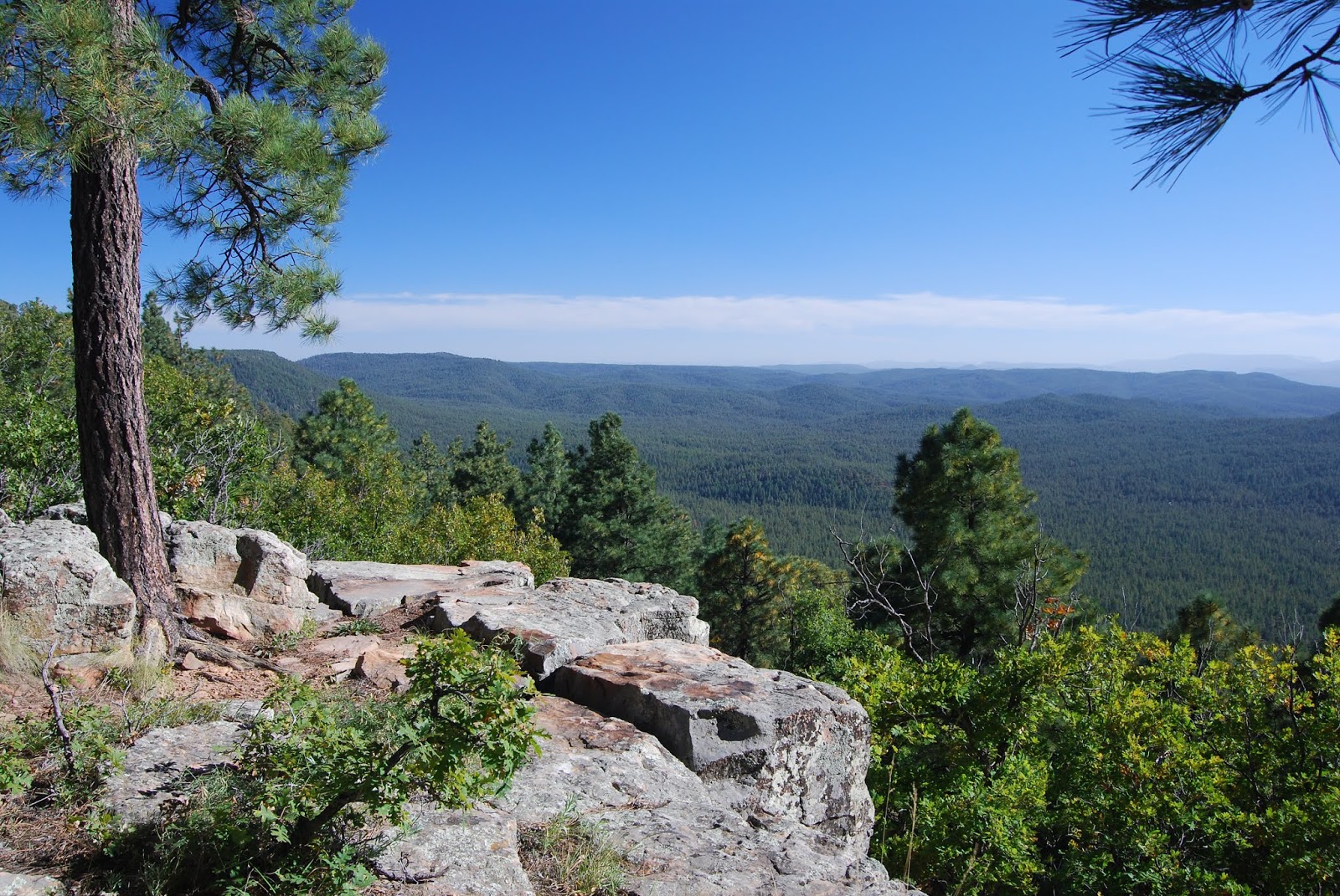
| View from the Rim Lakes Vista Trail |
About halfway up
the Military Sinkhole Trail, I thought of Michael Corleone. In a memorable
scene from the 1972 film The Godfather, protagonist Corleone rebuffed a ride as he approached his ancestral
Sicilian village for the first time, deciding to savor the experience by walking to it instead. I get it.
There’s a sort of
reverence associated with trekking to special places. A slower,
boots-on-the-ground pace syncs well with epic experiences. Like the village of Corleone, the Mogollon Rim is a place best crept up to on foot.
 |
| Mixed conifer woodlands on Military Sinkhole |
 |
| Arizona Thistle grow in Rim-top meadows |
The Rim is a
roughly 200-mile escarpment at the edge of the Colorado Plateau that runs east-west
across central Arizona. It’s easy enough
to drive right up to its precipitous cliffs and take an edgy, 40+-mile motor tour along Rim Road
300, but to get a better sense of the scale and structure of this geological
wonder, you need to climb it from base-to-ceiling.
One of the most convenient
ways to do this is to hike up the Military Sinkhole Trail.
Located 27 miles east of Payson on State
Route 260, the historic route makes an aggressive, 850-foot ascent to scenic ledges on the top of the Rim. The multi-faceted route begins with a walk through deep,
mixed-conifer woodlands of the Tonto National Forest. Shaded by enormous
Douglas firs with their characteristic barbed cones, spruce and pines, the
first mile is a cool and gentle climb.
 |
| Shady forests define the Military Sinkhole Trail |
 |
| One of many soulful sights on Rim Lakes Vista Trail. |
 |
| There's little shade, but great views, on parts of the trail. |
 |
| Top of the Drew Trail |
Where the trail
dips into drainages, canopies of Bigtooth maples cast filtered sunlight on
moss-embellished boulders and mushrooms popping through carpets of pine needles
and cracks in decaying logs. (Keep this one in mind for a fall foliage
hike.) Beyond the maples, the forest thins out, emerging onto an exposed ridge to merge with an abandoned military road built by General George Crook in the
1870s. Like many old roads in the area,
this one plows uphill without the benefit of climb-calming switchbacks.
It’s a rocky, quad-burning segment with
little shade, but great views of the Mazatzal Mountains and green valleys
mitigate the pain.
The ankle-twisting road gradually levels out as it enters a
corridor of arching Gambel oaks and fields of bracken ferns. At this point, vertical walls start to flank
the trail, hinting at the enormity of thrills that follow.
With the hardest parts over and the jumbled
cliffs of the Rim’s edge hovering above, the trail enters the Apache-Sitgreaves
National Forest for the final slog to the top.
At a signed junction just below Rim Road, Trail No. 179 continues
straight ahead on a not-very-interesting path that connects with the General
Crook Trail.
To reap the rewards you came for, head west (left) at the
junction and follow Rim Lakes Vista Trail No. 622.
After a short traipse
through a flowery meadow, breathtaking vistas and refreshing mountain breezes
overwhelm the senses.
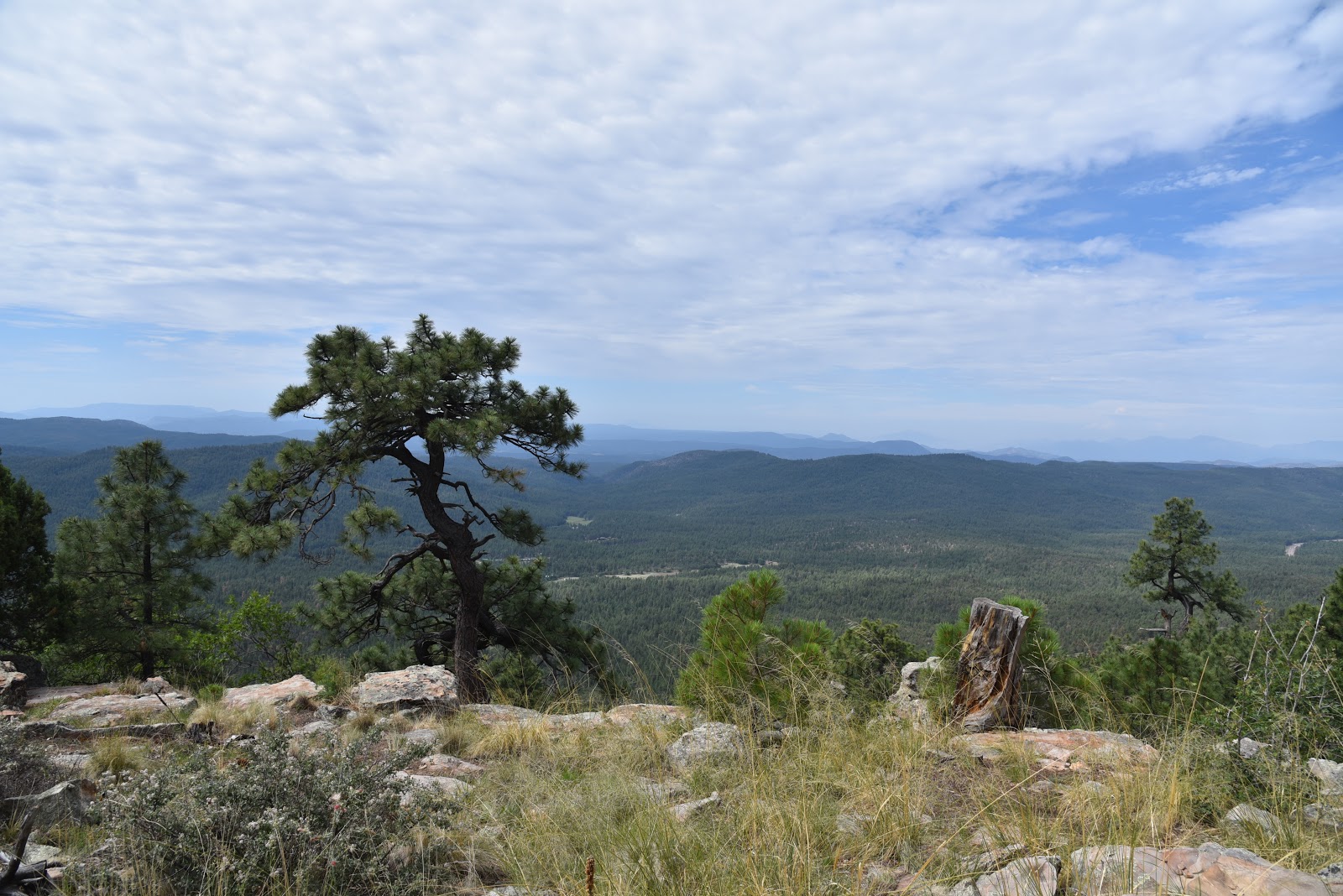
The tough pilgramage culminates at scenic
overlooks that frame wildland views. Here, hordes of camera-toting visitors stream from parked vehicles to stroll a few yards from the road for the same result. However, regarding this experience; hiking is to driving as a clarinet is to a kazoo.
After savoring your hard-won eye candy, head
back the way you came, or make an 11.7-mile loop by continuing 3.3 miles on
Trail No. 622 to the Drew Trail No. 291.
Head 1.8 miles downhill to Highline Trail No. 31, turn left and hike 4.1
miles back to the trailhead.
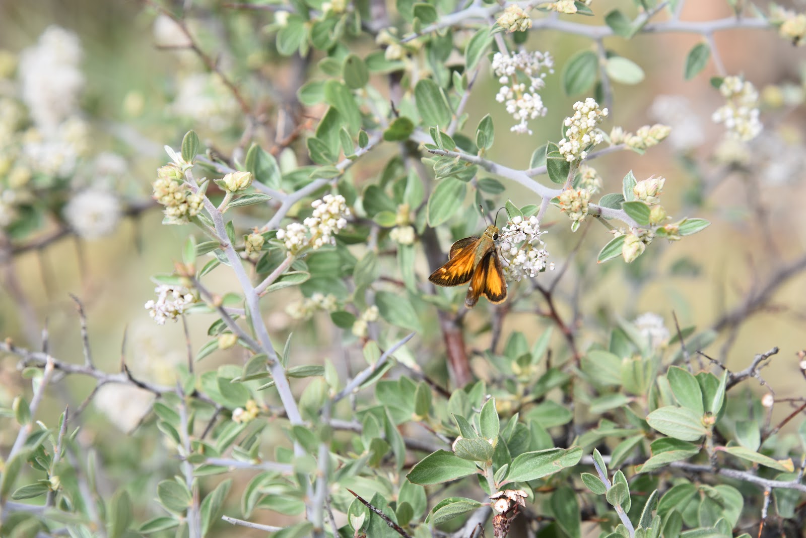 |
| Butterfly on Gregg's Ceanothus shrub. |
 |
| Defunct military road built by Gen. George Crook. |
 |
| Bigtooth maples thrive in moist drainages. |
 |
| Limestone escarpments flank the final slog to the top. |
 |
| Keep this trail in mind for fall foliage hiking. |
 |
| Ferns grow waist-high in damp spots below the Rim. |
 |
| Hooker's Evening Primrose blooms close by noon. |
 |
| A particularly fragrant section of the Military Sinkhole Tr. |
 |
| A distinctively-barbed Douglas fir cone |
LENGTH: 5 miles
up-and-back or 11.7-mile loop.
RATING: moderately difficult
ELEVATION: 6750
– 7600 feet
GETTING THERE:
Two-Sixty Trailhead (SR260):
From Payson, go 27 miles east (right) State Route 260 to the
“Two Sixty” trailhead turn off on the left. Follow the good gravel road for a
quarter-mile to the trailhead parking area where there is a restroom and a
corral.
Rim Lakes Vista Trailhead (Rim Road):
For an optional top-down hike. From Payson, go 30 miles east (right) on State
Route 260 Rim Road (Forest Road 300). Go 2 miles on FR300 to the trailhead on
the left.
INFO:


