


 Posts
Posts


CHOLLA LOOP
View from near the summit of Cholla Loop
No
stranger to hikers in search of a summit, the Arrowhead Point Trail in
Glendale’s Thunderbird Conservation Park gets plenty of love. 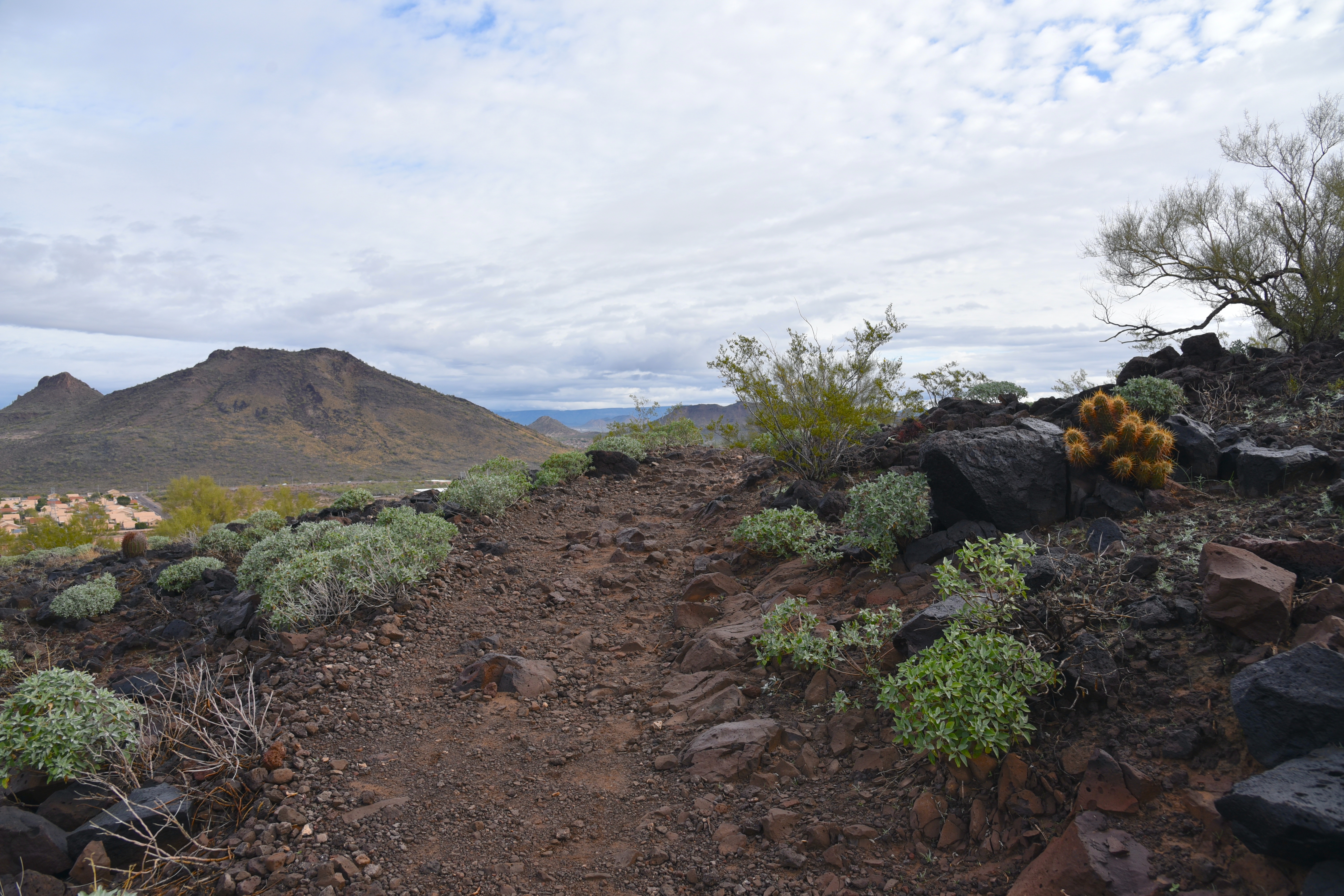
An edge-hugging section of Cholla Loop
The 1.5-mile
route crushes its way up to a familiar mountaintop cairn and American flag by
way of compressed switchbacks. 
Brittlebush bloom profusely in the park
It’s a great way to get a quick workout and
enjoy the company of other hikers. But for those who prefer a longer, slightly
less strenuous, and crowded alternative--there’s a flip side. 
A gentle descent on the trail's western leg
The Cholla Loop is located across 55th
Avenue which bisects the 1,185-acre park in the Hedgpeth Hills. One of 8 paths that make up the park’s
15-mile non-motorized trail system Cholla Loop may be accessed two ways from
the Pinnacle Peak Road trailhead. 
New River Mesa on the horizon
For direct access and to get most of the
steep climbing done early in the hike, walk a few yards west from the parking
area, cross 55th Ave and follow the trail signs. After a short
warmup section, the trail takes on the hill in zig-zag format, climbing
steadily among volcanic boulder fields, rockslides, and acres of blooming
brittlebush. 
Scorpionweed is a bright early bloomer
Several level spots on the way up
afford excellent views of the north Valley, surrounding suburbs, distant mountain ranges and
parade of hikers scaling Arrowhead Point. The saguaro-ringed high point is
attained about a mile in. 
Use Coach Whip trail to tie up the loop
Here, vistas
extend to include the skyline of Downtown Phoenix and the long profile of New
River Mesa. 
View of Arrowhead Point from Cholla Loop
Shaded only by an occasional
Palo Verde tree, the trail departs the highpoint on a series of edge-hugging,
but less severe switchbacks, swinging along the hill’s northeast face in an in an undulating style that adds to the hike's over 700 feet of accumulated elevation change. 
Thunderbird Park is an island of natural space.
A quick
slingshot turn takes the trail over to the west face for its final descent
where it meets a pedestrian bridge where hikers can pick up the Coach Whip
Trail for return leg of the trip. 
Looking west from Cholla Loop
LENGTH: 3.9 miles
RATING: moderate - difficult
ELEVATION: 1,353 – 1,812 feet (771 feet of accumulated elevation change)
GETTING THERE:
Pinnacle Peak Road trailhead:
From Interstate 17 in Phoenix, take the Pinnacle Peak Road exit 217 and follow Pinnacle Peak Road 3.7 miles west to the park entrance on the left just before the traffic light at 55th Ave.
FACILITIES: picnic ramadas, wildlife observation areas
HOURS: sunrise to sunset daily
INFO & MAP:
City of Glendale


