Find A Trail. Start Your Search Here:

Showing posts with label Lower LaBarge Creek. Show all posts

Friday, November 16, 2018

LaBARGE NARROWS

LaBARGE NARROWS
LaBarge Narrows in the Supes.
Hike begins near Canyon Lake.
LaBarge Creek route.
Not for the novice hiker, this combination hike and cross-county exploration leads to a breathtaking, secluded box canyon with that harbors a cloistered riparian ecosystem in the Superstition Wilderness near Canyon Lake.
Hiker at the base of Narrows walls.
The adventure follows Boulder Canyon Trail #103 along a desert ridge above Canyon Lake Marina before making a steep descent to where LaBarge Creek flows across the trail at the 2.9-mile point.
LaBarge Creek terrain.
Boulder Trail crosses the stream and veers right, but to get to the box canyon, leave the trail, veer left and follow the creek bed heading southeast. (Note: this route may be impassible after heavy rains.) From this point on, the hike is a cross-country boulder scramble.
Heading down Boulder Trail.
Do not attempt this hike if you are not in shape or lack basic route-finding skills.  
Battleship Mtn. flanks the rough route.
Save some energy for the hike out.
Inside the Narrows
The destination appears as a prominent pyramid-shaped outcropping upstream--use that as your guide. As the route traverses the rugged sycamore-and-bear-grass-lined washes in the shadow of blocky Battleship Mountain, which flanks the western edge of the watercourse, the passage gets progressively tougher until, at the entrance to the “narrows”, the canyon is choked with massive quartz-encrusted monoliths.
Boulders at the Narrows entrance.
Strong hikers will have no trouble picking through the rocks to reach the goal. Within the towering walls of the narrows, golden Velvet ash trees dot the shores of tiny pools like windswept beacons of light. Autumn foliage color usually lasts through mid-December here unless frost turns the leaves prematurely brown.
Rough route is not for novice hikers.
Darting flocks of canyon wrens, chattering cardinals and roosting hawks find food and shelter among the cattails, reeds and willows that feast on the precious waters of LaBarge Creek.
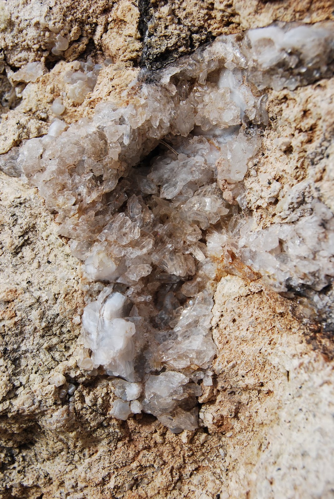
Quartz crystals embedded in boulders.
Depending on water levels, you can hike through the twisting, rocky corridor as far as you like but consider your time wisely as the return trip back up the canyon will feel worse and take longer than you’d expect. The second bend within the narrows at roughly the 4.7-mile point makes for a good turnaround point leaving plenty of time to slog your way out with daylight to spare.
LENGTH: 9.4 miles out-and-back
RATING: moderate-difficult
ELEVATION: 1,600 – 2,400 feet
GETTING THERE: From U.S. 60 in Apache Junction take the State Route 88 (Idaho Road) exit. Turn left at the off-ramp light and continue on SR 88 for 15 miles to the Canyon Lake Marina between mileposts 210 and 211. A Tonto Pass is not required if you park in the designated hiker parking area. The trail begins at the sign for Boulder Canyon Trail #103 across the road.
Battleship Mtn (L) and Weavers Needle (C) from Boulder Trl
Canyon Lake seen from Boulder Trail.
INFO:
Tonto National Forest, Superstition Wilderness

Friday, April 10, 2009

LOWER LaBARGE CREEK

LOWER LABARGE CREEK Superstition Wilderness Tucked into the sun-drenched cacti-studded hills surrounding Canyon Lake, a little-known path leads to a surprisingly lush pool of water, complete with its own sandy beach. Although the middle of the desert might not sound like a good place to find fall foliage, a hike into the lower reaches of LaBarge canyon rewards with torch-bright clusters of Velvet ash, Arizona sycamore, Goodding willows and Fremont cottonwood trees. To find this hidden oasis of color, follow Boulder Canyon Trail #103 for roughly a half-mile to the top of a rise and look for a faint, unmarked path that leaves the main trail and heads right and downhill into LaBarge Creek. Once at the creek, simply hike upstream among the boulders and seasonal pools. Accenting the colorful flora, are veins of jasper and quartz crystals which splatter the craggy canyon walls in shades of ruddy-red and ivory. Fragrant stalks of desert lavender, rustling reeds and frothy clumps of pampas grass add the finishing touches to the canyon’s jumbled crags and rubble-strewn floor. LENGTH: 5.6-mile out-and-back RATING: moderate ELEVATION: 1,680 – 2,300 feet GETTING THERE: From Phoenix, take Highway 60 east to Apache Junction to the Highway 88 (Idaho Road) exit. Turn left at the off ramp light and continue on Hwy-88 for approximately 15 miles to the Canyon Lake Marina between mileposts 210 and 211. The trail begins at the sign for Boulder Canyon Trail #103 across the road. A Tonto Pass is NOT necessary if you park in the designated trailhead spaces. Information: fs.fed.us/r3/tonto or call Mesa Ranger District (480) 610-3300