Find A Trail. Start Your Search Here:

Showing posts with label wildlife viewing. Show all posts

Tuesday, February 10, 2026

Sedona Wetlands Preserve

 SEDONA WETLANDS PRESERVE


Dedicated on September 27, 2013, the 27-acre Sedona Wetland Preserve is a prime destination for wildlife viewing hikes.


It's located halfway between Sedona and Cottonwood along State Route 89A and features six ponds filled with reclaimed wastewater surrounded by a mass of diverse native vegetation that attracts myriad waterfowl, songbirds, raptors, amphibians and small mammals.

A mile-long trail traces the perimeter of the preserve. 

The wide, flat path is outfitted with benches and educational signs. 

Two observations decks overlook open waters where a variety of ducks form feathery flotillas in the reflections of distant mountains and Sedona's red rock formations.

The Northern Arizona Audubon Society conducts expert-led bird watching field trips to this spot, but of you're visiting solo, your best chances to observe the most wildlife activity are during the early morning and late afternoon hours.

LENGTH: 1.1-mile 

RATING: easy

ELEVATION: 3,772 - 3,978 feet

HOURS: dawn to dusk daily

FACILITIES: shaded picnic tables, restroom

PETS: dogs are allowed but must be always kept on leash and kept of the water

GETTING THERE:

19655 SR89A, Sedona

From the SR179/89A traffic circle in uptown Sedona, go 8 miles west on 80A to the Wastewater Treatment Plant near mile post 366.  Turn right and follow the signs to the parking area.

Sedona Wetlands Preserve:

www.sedonaaz.gov/your-government/departments/wastewater/wetlands-preserve

Arizona Watchable Wildlife Experience:

www.azwatchwildlife.com/sedona-wetlands-preserve

Northern Arizona Audubon Society:

www.northernarizonaaudubon.org/Sedona-Wetlands-Preserve


Tuesday, November 14, 2023

Black Canyon Trail: Biscuit Flat Segment

BLACK CANYON NATIONAL RECREATION TRAIL:

BISCUIT FLAT SEGMENT

Wild burros on Biscuit Flat

Wild burros make lots of tracks--and lots of little burros.  That’s a concern for hikers and land managers because overpopulation can lead to problems like overgrazing, negative impacts on native wildlife, and public safety issues around roadways. 

New River Mesa viewed from Biscuit Flat

With few natural predators and a law that protects them from human hunters, the sturdy African imports that are the descendants of escaped or released pack beasts used by the military, ranchers, Spanish explorers, and miners dating back to the 1500s, the herds can become hordes.

The route follows single and double track paths

The free-roaming, prolific breeders adapted to the Sonoran Desert and other areas in the Western states. Herds quickly grew to the point where they exceed the land’s capacity to support them.  The 1971 Wild-Free Roaming Horses and Burros Act states that the Bureau of Land Management (BLM) and the U.S. Forest Service are responsible for managing and protecting herds and their rangelands as “living symbols of the historic and pioneer spirit of the West.”  

Wild burros cross the Black Canyon NRT

To thin the herds and maintain their health here in Arizona, the BLM uses fertility control and vaccine programs along with periodic “gathers” where burros are helicoptered out of congested public lands and either put up for adoption or transferred to Midwest off-range private pastures where they are taken care of for the rest of their lives.
Biscuit Flat is surrounded by mountains

Cholla line the Black Canyon NRT

The four-legged “spirits of the West” can be observed wandering in several Arizona ranges including the Lake Pleasant Herd Management Area, a 103,000-acre space located 25 miles northwest of Phoenix.  The Biscuit Flat segment of the Black Canyon National Recreation Trail provides non-motorized access into the heart of burro country.

The sandy floodplain of New River


Like the burros that average 400 pounds and 48-inches high, the roughly 100-mile-long historic trail is very much a spirit of Western heritage.

A cactus wren alights on a BCT sign post


It runs from Carefree Highway in Phoenix to the Town of Mayer and has recently been extended into the Verde Valley with new construction.  Following a mashup of ancient travel corridors, wagon roads and livestock tracks that pre-date Interstate 17, the route traverses mountain passes, valleys, sprawling rangelands, defunct mining operations and heritage sites that date back thousands of years.  The 5.9-mile Biscuit Flat segment is, well--flat. 

Signs guide hikers through the New River channel

It’s the first stretch of the route that begins at Carefree Highway and makes a straight shot north to the Emery Henderson trailhead on New River Road just 3 miles west of Interstate 17.
Crossing the New River channel

 
The utterly pancake-level expanse registers like a mood board for a Martian landscape--that is if Mars had cactus, creosote and an ephemeral river running through it.  Resembling images sent back from Mars landers, the place is a massive basin surround by volcanic mountain ranges.
Gavilan Peak (2,980 feet) on near horizon


The thorny plain is dressed in scuffed shades of green muddled with dusty earth and course, dried forbs. Like the Native inhabitants and pioneers that wandered through, this place cut its teeth on surviving in the unforgiving spillway of a desert river.

Green sign posts mark the trail

 
Emery Henderson trailhead on New River Road

Without obvious lures, the vultures come anyway. Riding up drafts, the carrion-eating scavengers make lazy loops and investigative swoops often enough to suggest, something below is dead.  Maybe a javelina, rabbit or coyote. 

An uncommon white burro on Biscuit Flat

What’s alive are the burros, expanding suburbs, a widening interstate, shooting range, prison complex, fairways, a municipal transfer station and the massive semiconductor manufacturing plant rising from desert that surrounds the dusty trail and its relics of the past.
Hikers must watch for toppled signs

Beginning at the north end of the segment at the Emery Henderson trailhead, the path heads south on a mix of singletrack, two-track and dirt roads.  The trail is signed throughout but is crisscrossed with trampled paths made by the burros and fading dirt roads that can be confusing. 

Cave Creek Mountains viewed from Biscuit Flat

Bradshaw Mountains on the north horizon

Hikers must take care at intersections to spot the next sign to stay on track. (Some signs were down at this writing but did not present a navigation problem).  At about the 2-mile point, the trail enters the sandy floodplain of New River and makes a rocky crossing through a tamarisk-choaked channel.
Mountain vistas on Biscuit Flat

 
Old trough on Biscuit Flat

Signs anchored by rock piles guide the way through the weedy waterway.  On the south bank, the trail heads up an embankment, passes a gate and begins a shade less walk through open desert.  The pop-pop of pistol fire from the nearby Arizona Game & Fish Department-managed Ben Avery Shooting Facility grows louder where the trail briefly shares space with the Valley-circling Maricopa Trail and crosses Deadman Wash.  The south trailhead is little more than a dirt pullout and gate along busy Carefree Highway. 
Saguaros on Biscuit Flat

If you parked a shuttle vehicle here, be sure to close the gate behind you to keep the legacy burros from wandering into 21st-Century traffic.

LENGTH: 5.9 miles one-way

RATING: easy

ELEVATION: 1,598 – 1,878 feet

GETTING THERE:

NORTH: Emery Henderson Trailhead: From Interstate 17 in north Phoenix, take the New River Road exit 232 and go 3.1 miles west to the trailhead on the right. The large parking area has space for trailers. There’s a restroom, but it was out of order at this writing.

SOUTH: Bob Bentley Trailhead: From Interstate 17 in north Phoenix, take the State Route 74 (Carefree Highway) exit 223 and go 1.8 miles west to the trailhead on the right. No facilities.

INFO & MAPS: Black Canyon Trail Coalition

https://bctaz.org/

WILD BURRO INFO

https://www.blm.gov/whb

https://www.blm.gov/programs/wild-horse-and-burro/herd-management/herd-management-areas/arizona/lake-pleasant

WILD BURRO ADOPTIONS

https://aci.az.gov/capabilities/wild-horse-burro-training-and-adoption/


Monday, October 2, 2023

Calloway Butte-New Tank

CALLOWAY BUTTE - NEW TANK

New Tank in Coconino National Forest

Peaceful, secluded places aren’t too difficult to find along the backroads of Coconino National Forest. 

Weighing in at over 1.8 million acres in size, Arizona’s second largest national forest is ostensibly the most diverse. 

Gambel oaks shade Forest Road 142

The northern Arizona swath of public land encompasses the famous red rock high deserts of Sedona, mountain lakes and streams, aspen glens, and alpine tundra around the state’s highest point in Flagstaff.  
Barbed wire fencing around New Tank

While sandstone phantasms, plunge pools and hypoxic vistas are the hallmarks of the easily accessible land, the B-list stuff in between is quite remarkable as well. 
Mountain vistas from Forest Road 142

When viewed through a lens of discovery, who-knew pockets of forest deliver hikes with generous servings of tranquil beauty.  Wildlife water holes, often created and maintained by Arizona Game & Fish Department, are the unsung gems of back road hiking destinations.
Old corral near New Tank

Gateway to New Tank on Forest Road 142

The weedy stock tanks backed by earthen dams are plentiful along 4x4 roads so they’re easy to find.  It's possible and legal to drive to many of them, but road conditions are not for amateurs. New Tank, one of the most scenic water holes, is a sizable pond choaked with water smartweed and bulrushes. 
A peaceful place in Coconino National Forest

Situated along Forest Road 142 about 27 miles east of Camp Verde, the pond is the focal point of a pastoral scene wrapped in a dilapidated ring of log-and-wire fencing.  The tank sits at the north base of Calloway Butte, a 6,860-foot pine-covered mound south of the West Clear Creek Wilderness. 
Calloway Butte seen from FR 142

Getting to the tank involves an undulating walk on the rough track of Forest Road 142.  Beginning at a dirt parking area off State Route 260 where the General Crook Trail #130 passes under the highway, the hike makes an immediate descent to a 3-way junction. 
Meadow with a view near New Tank

FR 142 heads left, on the first of a sequence of rocky climbs.  The road is shaded by a mix of Ponderosa pines, Gamble oaks and gnarly alligator junipers, passing by several side roads before dipping down into the cut of Meadow Canyon.  A final uphill crawl reveals mountain vistas peeking through thick tree cover and first looks at the green arc of Calloway Butte.  The road flattens out as it approaches the tank and skirts a rustic corral before meeting the tank at the 2.4-mile point.  
Wildflowers and pines along FR142

Massive oaks that blaze in shades of gold in autumn serve as a leafy gateway to the water hole that attracts all sorts of wildlife.  Elk, javelina, water birds and a robust community of woodpeckers skulk its perimeter.  The photogenic site is drenched in sunlight, the air spritzed with earthy notes of mint and grass. 
Pastoral scene at New Tank

It’s a relaxing spot for a lunch break before heading back or continuing another 0.8-mile on the road to Forest Road 142B, which is also signed as FR 9396. The hiker logo on the post indicates that the Calloway Trail, a half-mile strenuous route that descends into West Clear Creek, lies ahead.
FR 142 traverses Meadow Canyon

Well-equipped, adventurous hikers may follow the narrow, rough road 3-miles the trailhead.  But to stick with the theme of enjoying the pleasure of an unassuming little place between highway and wilderness, New Tank makes for a good turnaround point.
The FR 142B turnoff for the Calloway Trail


LENGTH: 4.8 miles round trip (to the tank and back)

RATING: moderate

ELEVATION: 6,146 – 6,718 feet ( 1,501 feet of accumulated elevation change)

GETTING THERE:

From Interstate 17 in Camp Verde, go 27 miles east (toward Payson) on State Route 260 to Forest Road 142 located past milepost 245 on the left.  Immediately past the cattle guard and turn left into a dirt parking area for the General Crook Trail.  A high clearance vehicle is recommended.

Wednesday, June 22, 2022

Keyhole Sink

KEYHOLE SINK

Keyhole Sink surrounds a moist seep area

Not too far off Old Route 66 a few miles east of the town of Williams, a cloistered box canyon with vertical stone walls encircles a depression where water sometimes cascades over the cliffs and pool at the base of the pine-shaded oasis. 

The woodsy approach to Keyhole Sink

The sounds of tree frogs, birds, and scampering squirrels bite through a soundtrack of wind rustling through aspen canopies.  The moist, cool place vibrates with a life essence that transcends the moment.  It’s like walking through a sort of time capsule set on perennial-fill mode.
A petroglyph panel at Keyhole Sink

The Kaibab National Forest site’s ample forage grasses, water and quiet isolation made this a perfect spot for wildlife to congregate, feed, drink, and--oh yeah--be stalked.  

Aspen saplings on the Keyhole Sink Interpretive trail

From roughly 1,000 years ago, ancestral Native American hunters documented their experiences at this enchanting hideaway by pecking images of deer, bear and other local wildlife into the folds and panels of cliff faces that are the weathered remains of ancient lava flows.   Today, hundreds of the images are visible on the volcanic escarpments.
Keyhole Sink is a wildlife oasis

Dense galleries depict a vibrant, and resource-rich environment.  While the meaning and utility of the petroglyphs is best known to the makers, present day viewers may immerse in the pure beauty of the etchings and extrapolate the notes of celebrations, observations, and maybe just the plein air sketches they may have depicted.  Regardless, it’s clear that Keyhole Sink remains a living, breathing microcosm of life in the forest. 
Visitors must be front-line protectors of this heritage site

A short, interpretive trail and a descriptive brochure available online, guide visitors through the woodsy outdoor classroom.

Sadly, there’s a history of vandals defacing the rock art. Restoration involves hundreds of volunteer hours, thousands of dollars, and years of work with no guarantees of fully rehabilitating the artfacts.  Why this happens in a place that is sacred to modern Native American tribes is beyond comprehension. The place is not a “ruin”, it’s an ancestral homeland.

Although Keyhole Sink is monitored by Arizona site stewards, visitors must be the front-line protectors. As with all heritage sites, respect the irreplaceable artifacts. Do not touch or otherwise alter the rock art, stay on designated trails, pack out all trash, and leave what you find so that future generations may appreciate this Arizona point-of-pride.

LENGTH: 2 miles round-trip

RATING: easy

ELEVATION: 7,100 – 7,000 feet

GETTIGN THERE: From Flagstaff, go 16 miles west on Interstate 40 to the Parks exit 178. Connect with Historic Route 66 and go 4 miles west (left) to the Oak Hill Snow Play Area on the left. The trailhead is located across the road from the parking lot at a signed gate.

INFO:

Kaibab National Forest

https://www.fs.usda.gov/recarea/kaibab/recarea/?recid=11678


Monday, May 23, 2022

Upper Lake Mary

UPPER LAKE MARY

Mormon Mountains stand out over Upper Lake Mary

At the tail end of the twin reservoirs of Upper and Lower Lake Mary, an airy draw closes in on the murky meanders of Walnut Creek. 

Upper Lake Mary viewed from FR 9485C

Cutting through dry stubble and emergent grasses, the entrenched creek course snakes south through coniferous woodlands in Coconino National Forest.
Rocky Mountain iris bloom May - September

Earthen dams on the creek contain the elongated lakes that are a major source of water for the City of Flagstaff roughly 15 miles to the north.

Log pole fence on the shore of Upper Lake Mary

 While the lower lake is usually bone dry, Upper Lake Mary retains enough water for boating, water skiing, fishing, and picnicking. Nearby camping and access to the Arizona National Scenic Trail, make the lakes a popular recreational destination. 
Drought has altered the landscape around the lake

Water levels vary depending on rain and snowmelt.  According to the USGS, Upper Lake Mary is about 5.6 miles long with a surface area of 939 acres and a maximum depth of 39 feet when at full capacity. Prolonged drought has altered the lake’s size and character.
Field bindweed bloom May - September

Deepest near the dam at its north end, Upper Lake Mary shallows out as it bends southward gradually morphing into puddles, mucky swales, and a dry draw where the ghost of the creek exists in deeply incised, twisted channels.
Butter & eggs bloom May - September

A short forest road on the east shore provides a close look at this transitional segment where the lake goes from pond to puddle to pasture in just under one mile.  Forest Road 9485C serves as the trail for the 2-mile round trip hike. 
San Francisco Peaks on the horizon

Wide, rocky, and relatively flat, the dirt two-track sits just below Lake Mary Road. 
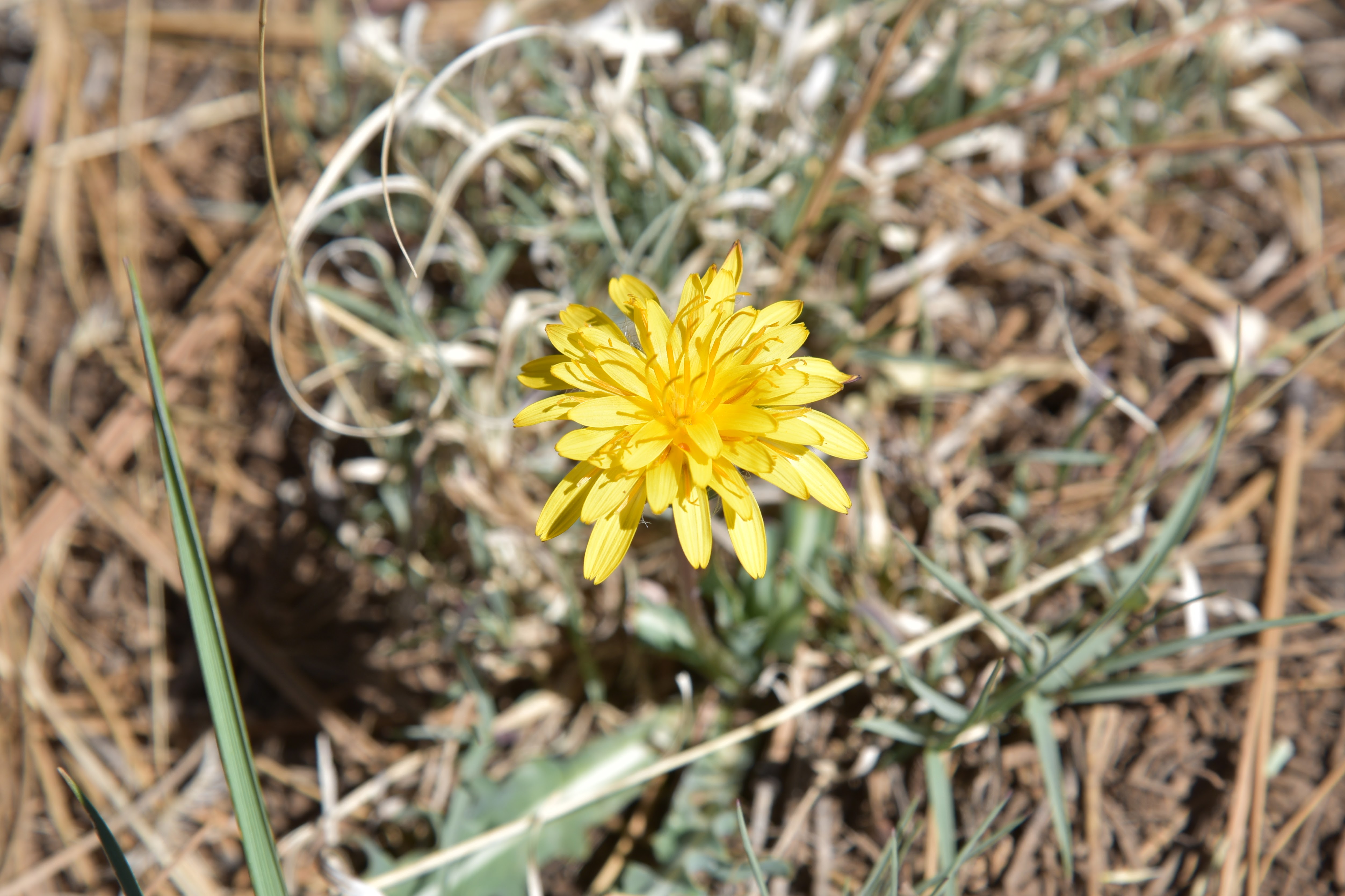
Mountain dandelion bloom May - October

Over the first-quarter mile, Ponderosa pine trees stand over the last sizable reaches of lake water where Great blue herons, waterfowl and—for early morning hikers—elk, might be spotted browsing the weedy fringes.
Hike uses FR 9485C below Lake Mary Road

The rounded peaks of Mormon Mountain stand out over an ever-fading spillway to the south.  About where a rustic pole fence stands at what appears to be the former edge of the lake, water sightings are replaced by juniper-framed views of the creek meanders and glimpses of the San Francisco Peaks to the north. 
Creek meanders at the far south end of Upper Lake Mary

While drought has altered the landscape, there’s still a thriving understory of blooming shrubs and wildflowers. Sunflowers put on an especially gorgeous show in late summer, blanketing the shores in acres of brilliant yellow.

LENGTH: 2 miles round trip

RATING: easy

ELEVATION: 6,830 – 6,850 feet

GETTING THERE:

From Flagstaff, travel  15.5 miles south on Lake Mary Road (County Road 3) to Forest Road 9485C on the right past milepost 329. There are no fees at this day use parking area.