Find A Trail. Start Your Search Here:

Showing posts with label South Mountain Park. Show all posts

Tuesday, January 4, 2022

Hau’pal Loop

HAU 'PAL LOOP

Sierra Estrella Mountains peek over Ma Ha Tauk range


Situated in the northwest sector of South Mountain Park in Phoenix, the Hau’pal trail fixes a couple of things.

Camelback Mountain has some competition in the Hau'pal Trail

First, the 3.2-mile loop which debuted in 2020 replaces a quagmire of confusing, terrain-damaging park (remember the T-Bone Trail ?) and sloppy user-created paths.  Newly aligned, signed and cleaned up, the route is now a safer, more sustainable trek.

Difficult-rated Hau'pal trail is well signed

Second, it provides swift attitude adjustment for anybody who thinks a short loop hike located a mile south of downtown Phoenix can’t deliver a heart-pumping-- and sort of scary--hike.

Piestewa Peak rises above downtown Phoenix

The route is steep, edgy and rocky

The 3.2-mile loop, which is named for the O’odham word for red-tailed hawk, progresses in three distinct episodes.  Heading counterclockwise from the trailhead (go right), the hike begins with an immediate uphill haul that gets gradually steeper as the dirt single track gains over 1000 feet twisting over clipped shelves and stony folds in the far edge of the park’s Ma Ha Tauk Range. 

Mountain & urban views on Hau'pal trail

Act two involves a breath-taking walk over a sheer ridgeline with vistas that span the entire Valley and reach into the mountain peaks of the Tonto National Forest and farmlands south of Ahwatukee. 
First leg of the hike gains elevation gradually

Narrow, steep and, in places, very close to sheer drop offs, the ridge leg of the hike is not for acrophobics. 
The trail replaced old and unauthorized paths

The final segment is preceded by a short scramble through a rock chute before the trail calms down and swings downhill on gully-riddled foothills with scenic lookout points that frame views of city grids, urban landmarks and the distinctive humps of Camelback Mountain—another short, steep hike destination that might lose its “ultimate city hike” panache once Hau’pal catches on.
Map at the trailhead shows the loop layout

LENGTH: 3.2-mile loop

RATING: difficult

ELEVATION:  1,320 – 2,359 feet

GETTING THERE:

Form Phoenix, travel south on 7th Avenue to Baseline Road.  Turn right (west) and continue on Baseline to 19th Ave. Turn left (south) and follow 19th Ave to the trailhead.  No facilities.

INFO:

https://www.phoenix.gov/parks/trails/locations/south-mountain


Thursday, January 28, 2021

Pima Wash Trail

PIMA WASH TRAIL

South Mountain Park

Hohokam petroglyphs on the Pima Wash Trail

Classic Arizona trails earn their reputations by being stalwart passages into some of our most beloved parks, forests and wilderness areas

Whether they are feral and remote or tame paths just steps from suburbia, these legacy routes (think: Humphreys Peak in Flagstaff, Cabin Loop on the Mogollon Rim and Bell Rock near Sedona, Peralta Canyon Trail in the Superstition Mountains and the Thumb Butte trail in Prescott) never get old.  Pima Wash Trail in South Mountain Park in Phoenix falls into the tame, nearby category and serves up a delightful trek for homegrown hikers and visitors alike.

View from the Dirt Road Trail

Located in the park’s eastern edge adjacent to a golf course and rows of trim homes and shopping centers, the trail is a mainstay in the Pima Canyon trailhead mix of routes.  Newly renovated and outfitted with restrooms, picnic tables and interpretive signs, the trailhead has plenty of parking and is designed to blend in with the surrounding desert hills. 

CCC structures on the Dirt Road Trail

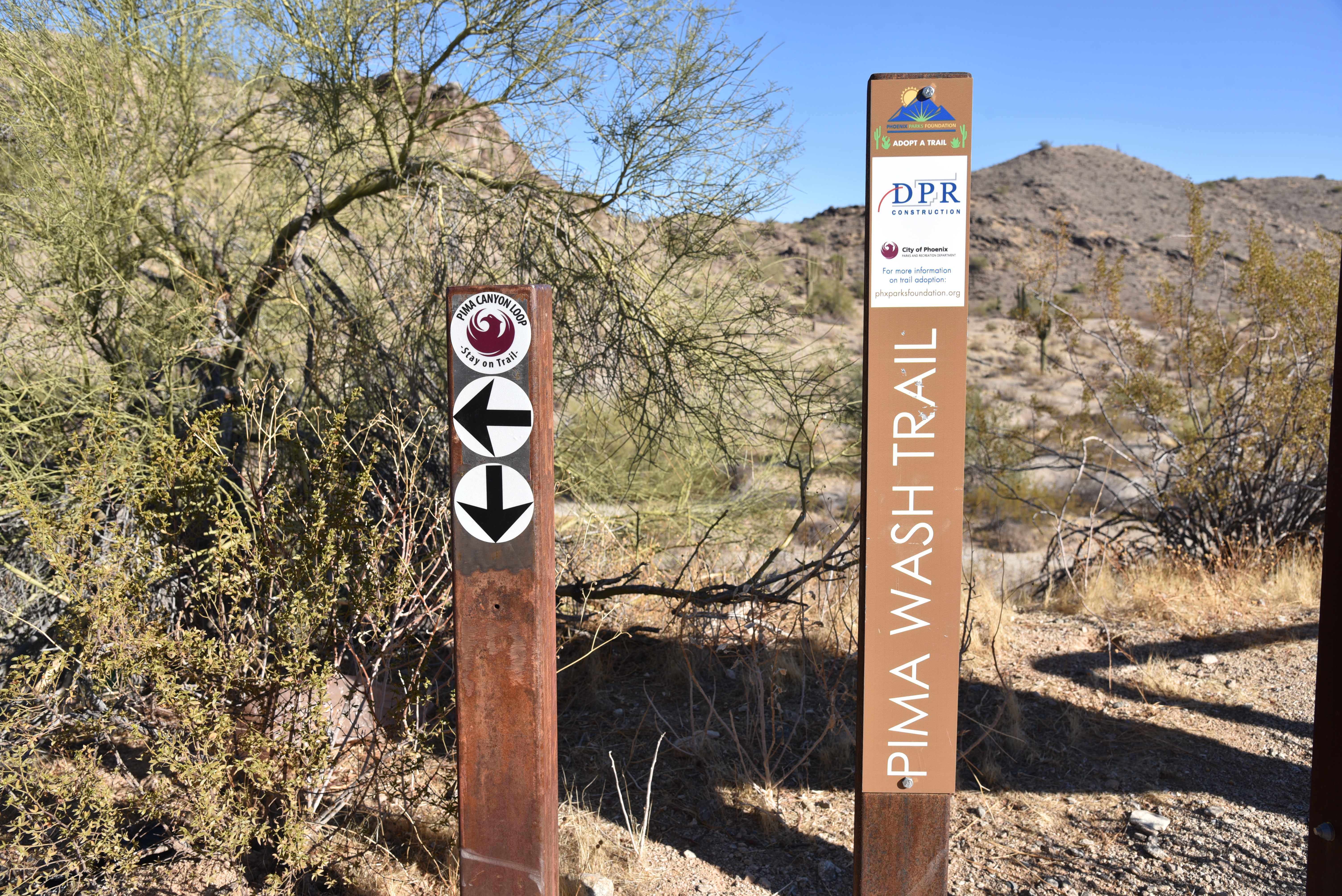
Pima Wash Trail is often done as a loop hike using the Dirt Road and National Trail to tie it together.  To better appreciate the hike, start by reading the trailhead signs that describe the wildlife, vegetation and history you’ll encounter along the route. 

Petroglyphs above Pima Wash 

The short, easy loop is packed with interesting sites and is an ideal choice for keeping young kids engaged.  Begin on the Dirt Road Trail which starts at the trailhead ramadas.  The wide route heads up the edge of Pima Canyon overlooking a rugged wash.  Views of East Valley landmarks including Red Mountain and Four Peaks emerge on the horizon as the trail climbs higher into the canyon.  At near the mile point, a set of native stone buildings sit off to the left of the road.
Desert vegetation on Pima Wash Trail

These were built by the Civilian Conservation Corps (CCC), a government work program established by President Roosevelt in the 1930s.  The intricate masonry walls and arches blend easily into the natural environment and are fine examples of the many CCC-built structures, trails and other features within the park. 
Pima Canyon trailhead blends into the landscape

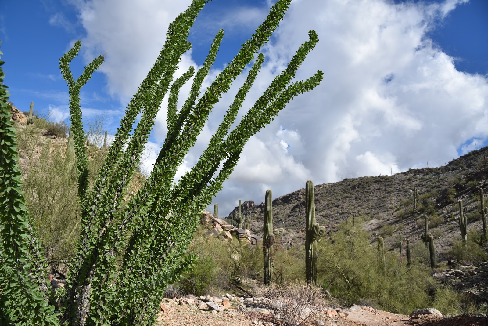
Just beyond the stone buildings, the road meets the National Trail junction.  Veer right and follow the trail a few yards to the Pima Wash Trail where the route ducks into a sandy, water-ravaged corridor.  Alternately staying in the cliff-bound wash and the ledges above it, the return leg of the loop tops out at a scenic point with a bench where Hohokam petroglyphs are etched into boulder outcroppings and views of the jumbled channel of Pima Canyon give cause for pause.  Vegetation in the wash is dominated by mesquite trees, brittlebush and cacti, but if you have a keen eye, you might spot a rare Elephant Tree.  While they resemble Palo Verde trees (Parkinsonia aculeata), the Elephant tree (Bursera microphylla) is a frost-sensitive tropical species in the torchwood family of plants that produces and aromatic sap similar to frankincense and myrrh. 

A petroglyph panel on Pima Wash Trail

Found in northwestern Mexico and American southwest deserts, Central Arizona, where the tree is a protected species, marks the northern limits of its habitable zone.
The route is signed and easy to follow

The squat trees are characterized by its serpentine, branching trunks that resemble elephant legs.

Young branches and bark are smooth and reddish in color but turn dull green and flaky grey with age.  Because of its close proximity to suburbia, the Pima Canyon recreation area draws the crowds, especially on weekends when many people use the Dirt Road Trail as an outdoor treadmill for speed hiking or power walking.

Interpretive signs enrich the hike experience

However, for those who prefer a more leisurely walk off the beaten path, the Pima Wash Trail offers a less busy meander through classic Sonoran Desert terrain inhabited by myriad critters including Harris Antelope Squirrels, rock squirrels and Turkey vultures. 

LENGTH: 3.2-mile loop as described here

RATING: easy-moderate

ELEVATION: 1,338 – 1,566 feet

GETTING THERE:

Pima Canyon Trailhead. 4800 E. Pima Canyon Road, Phoenix.

From Phoenix, go east on Interstate 10 to the Elliot Road exit 157. Turn right at the bottom of the offramp and continue a few blocks west to 48th Street (major stop light intersection). Turn right onto 48th St and continue to Pima Canyon Road on the left and follow the signs to the trailhead.

FACILITIES: restrooms, water, covered picnic ramadas.

Dogs must be on leash at all times and owners must clean up after their pets.

INFO & MAPS:

https://www.phoenix.gov/parks/trails/locations/south-mountain

Thursday, January 2, 2020

MORMON TRAIL-HIDDEN VALLEY LOOP

MORMON TRAIL-HIDDEN VALLEY LOOP: South Mountain Park.
The Natural Tunnel is a key attraction in Hidden Valley
Theoretically, hikers should be the last people who’d succumb to not being able to see the forest for the trees. The ubiquitous expression describes a common affliction of missing the “big picture” in a haze of minutia.
Lush desert vegetation on the National Trail
Hikers are not immune from its soul-sapping vortex.
Tethered to fitness apps and ear buds, some hikers detach from their surroundings in pursuit of faster times and harder, longer, more remote trails while buying into the assumption that the “best” trails exist in a faraway ether dripping in unattainability and mystique.  
Although few would argue against the benefits of setting and achieving goals, what constitutes a “best” trail is debatable.
Fat Man's Pass is the gateway to Hidden Valley
When approached from a see-the-forest perspective, even oft-maligned, old standard trails can qualify as top destinations. Take, for instance, the Mormon Trail-Hidden Valley Loop in South Mountain Park.  Because it’s located close to town, the route can get very busy.  Social media is replete with negative comments about noisy groups, irresponsible hikers, food scraps, dog poo and painted rocks meant as inspirational gifts left in trees and clefts.  But it’s a mistake to let these spoilers suck all the air out of the room. 
The classic Phoenix circuit has many of the positive components on hiker check lists. Some moderate climbing. Check. Epic views. Check. Heritage sites, gnarly rock passages and hidden finds. Check, check, check. 
The Mormon Trail climbs 700 feet up Neighborhood Can.
Watch for Hohokam rock art on the trails.
Adding to its appeal, this iconic route gets the climbing out of the way at the beginning while legs are still fresh.  The uphill portion on the Mormon Trail crawls 700 feet up Neighborhood Canyon dodging among massive boulders, slickrock corridors and desert flora adapted to South Mountain’s craggy environs. Weathered rock slabs that hang from cliffs form odd sculptures and that frame views of the Valley and surrounding mountain ranges.
Far-reaching vistas on the National Trail
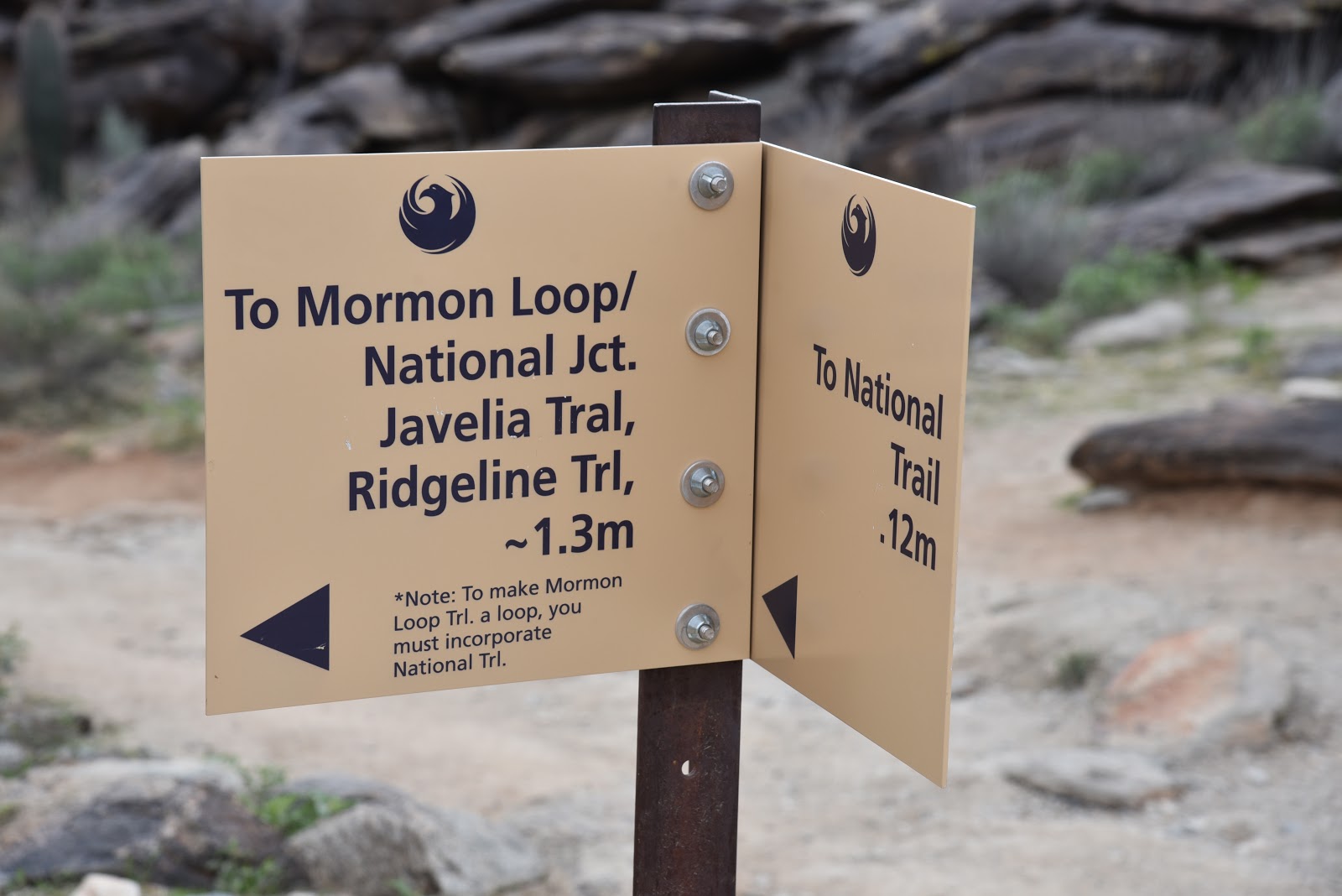
At the 1.2-mile point, a sign marks the junction of two connected loops. To start with the shorter Hidden Valley Loop, continue straight ahead on Mormon Trail and head right on the National Trail.  In just under a half mile, the trail encounters Fat Man’s Pass. A tight squeeze through a slim but short crack between boulders serves as a gateway to Hidden Valley.
Petroglyph panel at the Natural Tunnel
The enchanting half-mile walk in a secluded corridor ends with a passage through a natural tunnel well-known for its rock overhangs, sandy substrate, a petroglyph panel and lush drainage-fed vegetation. Beyond the tunnel, go right at the National Trail junction and follow the route 1.4 miles to the Mormon Loop Trail. Hang a left and walk the 1.1-mile return leg that traces a ridgeline where a major rock art site as well and a wash with many more petroglyphs etched into the rock veneer by the ancient Hohokam people who were active in the area from roughly A.D. 450 to 1450 embellish the trail.
This double loop hike is well-signed throughout.
To protect these irreplaceable heritage sites as well as sensitive vegetation and wildlife habitats, it’s important to stay on trails and not touch or alter anything.
Snow-covered Mt. Ord seen from Mormon Loop 12-31-19
Photographs are encouraged, though.  
A lone Palo verde tree anchors a curve on the National Trail
The big picture take away here is that the Mormon Trail-Hidden Valley Loop is a wonderful hike just a few miles from Downtown Phoenix.  It would be terrible to let distractions asphyxiate its virtues.
Triangle-leaf bursage adds a minty fragrance to the trails
Once we lose our sense of wonder and the ability to see beyond loud, immediate things on a hiking trail, what’s left are rote progressions chronicled on Instagram. 
LENGTH: 6.2 miles
RATING: moderate
ELEVATION: 1,280 – 2,080 feet
GETTING THERE:
From central Phoenix, go south on 7th Avenue to Baseline Road. Turn left (east) and continue to 24th Street. Turn right (south) and to Euclid, turn left and continue a few yards to the trailhead on the right.
INFO & MAPS:

Tuesday, November 5, 2019

RANGER TRAIL

RANGER TRAIL
South Mountain Park, Phoenix
View from the National Trail on the Gila Range of So.Mtn.
South Mountain cuts an impressive profile in the skyline south of downtown Phoenix.  
The “mountain” isn’t a singular massif as the name implies, but a conglomerate of three parallel ranges that sit within the park boundaries and dovetail in a way that creates a fascinating environment of canyons, washes and rugged pinnacles. Over 50 miles of trails explore the park’s nooks, alcoves, high points and heritage sites.
The Ranger Trail crosses a scoured bajada.
Trails range in difficulty form the barrier-free Judith Tunell trail near the South Mountain Environmental Education Center to the challenging routes that ascend the three ranges for panoramic views of the Valley. As the park undergoes a major freshening-up in advance of its 100-year anniversary in 2024, there are more reasons than ever to take a hiking trip to this 16,000+-acre municipal park and Phoenix point of pride. Improved facilities, more and better trails and upgraded trailheads will undo much of the spoilage caused by nearly a century of use.
The Ranger Trail departs from the Five Tables picnic area
Seed pods on a Foothills palo verde tree
An edge-hugging section of the Ranger Trail.
Hikers looking for a trail with a moderate level of difficulty and enough elevation gain to get to outstanding mountaintop vistas, will find the Ranger Trail is an excellent choice. Beginning at the Five Tables picnic area where crowds are lighter than at many of the park’s bigger trailheads, the moderated-rating route heads up to a scenic notch in the Gila Range, the linear hill that rises at the cusp of the Ma Ha Tauk Range to the north and the massive Guadalupe Range to the east. 
The Sierra Estrella Mountains on the western horizon
A few yards from the trail, the route crosses a mesquite-cluttered bajada—a wash-like geological feature where debris and sediments scoured from the surrounding mountains have cut a deep channel through the foothills. The first 0.7-mile of the hike is an easy walk through open desert with sporadic palo verde trees, huge saguaros and fragrant creosote shrubs that frame views of the pointed peaks of the Sierra Estrella Mountains on the western horizon. 
Much of the Ranger Trail follows a rocky, edgy path
Where the trail crosses Summit Road, the route begins a continual climb on edge-hugging switchbacks that  dodge in-and-out of stony clefts and tight bends.  On the way up, views of the geometric layout of downtown melts into suburbs and distant wilderness mountains. Sometimes, pop-pop sounds of target practice coming from the nearby police academy rifle range echo off the slopes. 


View from the top of the Gila Range in So. Mtn. Park
The Ranger Trail ends just a few yards from the National Trail, a 15.5-mile path that’s the highest and longest in the park.  The final trudge to the crest pays off with sweeping 360-degree vistas that incorporate urban centers, farmlands and sprawling bedroom communities. 
Ranger Trail crosses Summit Road 
Although this perch makes for a satisfying 3-miler turnaround point, the hike may be extended by consulting the park map. One easy add-on option is to head hike 1.4 miles east on the National Trail to the iconic Telegraph Pass Lookout for a 5.8-mile trip. 
View of the destination high point on the Ranger Trail
Fragrant creosote shrubs line the lower section of the trail
Steep switchbacks near the top of the Ranger Trail
LENGTH: 3 miles round trip
RATING: moderate
ELEVATION: 1,443 – 2,278 feet
GETTING THERE:
From downtown Phoenix, go south on Central Avenue to the main park gate. Continue one mile on the main park road (Steven Mather Drive) to the turn off for the Five Tables picnic area, turn left, go 0.1-mile and turn right into the trailhead parking area.
INFO:
-->

Monday, October 15, 2018

KIWANIS TRAIL


KIWANIS TRAIL
Remnants of Hurricane Sergio over Kiwanis Trail 10-14-18.
Long before the craggy hills that comprise South Mountain where outfitted with hiking trails and picnic ramadas, the Akimel O’odham (Pima) people referred to them as Muhadag Du’ag or Greasy Mountain.
A hiker enters the mist on the National Trail near Mt. Suppoa.
The name comes from a Native American legend about how hot grease dripping from the mouth of Trickster Coyote as he consumed food stolen from a cremation fire gave the mountains their dark stains. 
October rains have greened-up the desert.
People have been carving their marks in the  "greasy" dark rock veneers of the mountain ranges south of Phoenix since prehistoric times. Archeologists have attributed artifacts and petroglyphs (rock art) found in the area to a wide scope of peoples who lived in and around what is now known as South Mountain Park.
Hohokam petroglyphs are plentiful along Kiwanis Trail.
Heritage sites in the park include a few rare incised symbols from hunter-gathers of the Archaic period (8000-2000 years ago), thousands of Hohokam (A.D. 400-1450) etchings and the scribblings of early European settlers.  Many of these artful and mysterious panels are visible from the more than 50 miles of hiking trails within the park.  In addition to several petroglyph sites with human forms, spiral patterns and animal designs tapped into stone by the park’s ancient inhabitants, Kiwanis Trail also exposes features of the park’s more recent history. 
Telegraph Pass Lookout Tower on the National Trail.
Established in 1924, the park was a major work center for the Civilian Conservation Corps between 1933 and 1940. 
View of Downtown Phoenix from Telegraph Pass. 
During that time, roughly 4000 workers constructed many of the park’s trails and masonry/stone buildings.
Kiwanis Trail was constructed by CCC workers in the 1930s.
View of the Salt & Gila River Basins from National Trail.
The Kiwanis Trail is a classic example of CCC construction projects. Its hand-hewn cuts, native-stone steps and check dams built into drainages to slow the flow of water and minimize erosion are relics of the Depression-era program.
AZ Desert-thorn bloom year-round with ample moisture.
Over its 1-mile course, the trail climbs 480 feet through a furrowed canyon to Telegraph Pass Road. As the trail gains elevation, views of Downtown Phoenix expand from sliver-glimpses to full blown panoramas. Moisture dropped by the remnants of hurricanes Rosa and Sergio over the past weeks coaxed the green back into the landscape. The wettest October in recorded state history has enabled ocotillos to puff out, drought-starved brittle bush to sprout leaves and delicate Arizona Desert-thorn to bloom in fragrant clusters.
Post-drought brittle bush will soon produce yellow blooms.
Heavy rain can also cause Valley trails can become very muddy. Although it’s advisable to avoid hiking on saturated trails to prevent damaging them, you won’t encounter mucky quagmires on the Kiwanis Trail. The path is mostly hard-pack gravel and bare rock, and was built to drain quickly and withstand wet-weather use.
CCC-built check dams help prevent erosion.
At the top of the trail, the hike may be extended by crossing the road to the National Trail for a short but steep climb to the Telegraph Pass Lookout. Situated on a knoll overlooking the Salt and Gila River Basin, the rustic stone hut serves as a convenient turnaround point or stop off before continuing on the 15-mile National Trail that traces ridgeline crests for the entire length of the park.
Dark rock veneers on "Greasy Mountain".
Kiwanis Trails ends at Telegraph Pass Road

LENGTH: 2 miles round trip or 2.6 miles roundtrip to Telegraph Pass Lookout
RATING: moderate
ELEVATION:  1580- 2060 feet
GETTING THERE:
South Mountain Park, Phoenix, 10919 S. Central Ave.
From the main park entrance at the end of Central Avenue, continue on Stephen Mather Dr. and go left at the first four-way intersection. Take another left onto Piedras Grandes Dr. and continue to the trailhead.
INFO & MAPS:

REFERENCE:
Landscape of the Spirits Hohokam Rock Art at South Mountain Park
Todd W. Bostwick and Peter Krocek
University of Arizona Press, Tucson
Uapress.arizona.edu