Find A Trail. Start Your Search Here:

Showing posts with label Salida Gulch. Show all posts

Monday, August 1, 2016

JOHNS TANK TRAIL

JOHNS TANK TRAIL #94
Prescott National Forest
View of Lynx Lake from Johns Tank Trail
The eagle has not landed. Sadly, the bald eagles that nest near Prescott's Lynx Lake did not produce offspring this year. Since they first appeared in the winter of 2002, breeding pairs of the quintessential American raptors have commandeered lakeside osprey nests to raise their chicks. In years when the eagles are on the nest, Johns Tank Trail #94-- the hiking trail that traverses their breeding territory-- is closed to human travel from February through June to give the hatchlings their best chance to thrive. The trail explores a bird friendly environment of Ponderosa pine forests swaying over trout-rich waters while tethering two loop routes in the foothills of the Bradshaw Mountains.
Ponderosa pines on Johns Tank Trail
There's no dedicated trailhead for Johns Tank, so it must be accessed by either Lakeshore Trail #311 to its west or Salida Gulch Trail #95 to the north. To take the lake access option, hike 0.1 mile west on Trail #311 to the Trail #94 junction. This mile-long segment passes through deep woods and resinous air as it ascends the hills above the water. After climbing 300 feet, the trail arrives at a juniper shaded highpoint with nice views of Spruce and Granite Mountains that precede a dip into Salida Gulch. Turn right at the Trail #95 junction and hike less than a tenth of a mile to a sign that point to the right. To the left, a rudimentary side path leads to Johns Tank, a sometimes moist but mostly muddy wildlife watering hole. Trail #95, dives farther into the gulch by way of hairpin turns pinched tight by vertical granite walls. About halfway through the loop, look for faint petroglyphs pecked into a stony grotto.
Lakeshore Trail
The route bottoms out on a bank above Lynx Creek, then swings south and uphill again to reconnect with Trail #94. Retrace your steps back to lake and head left to circle the water on Trail #311. This 2.3-mile walk stays close to shore making it a convenient corridor for anglers looking for a secluded spot to reel in dinner. Mind the tackle boxes and coolers. Tracing numerous finger coves, the route is draped in willows, cottonwoods and trunk snuggling cattails. You'll pass a boat launch where dozens of people shove off on paddle boards, fishing boats and kayaks before you arrive back at the start point.
Salida Gulch
LENGTH:
Double loop (as described here): 8.5 miles
Lakeshore-Johns Tank loop: 4.3 miles
Salida Gulch-Johns Tank loop: 6.2 miles
RATING: moderate
ELEVATION: 5,050' - 5,790'
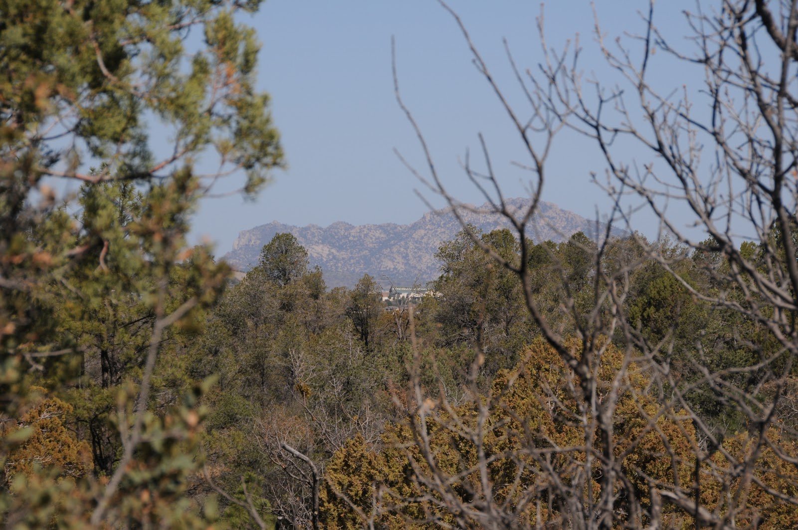
Spruce Mountain view near Trail #94 high point
GETTING THERE:
Lynx Lake access:
From State Route 69 in Prescott, go 2.1 miles south on Walker Road (milpost 293) and turn left onto Lynx Lake North Shore (Forest Road 611). Continue 0.2 mile to the parking area. Hike down the paved walkway at the southeast end of the parking area to Lakeshore Trail #311 and follow it along the spillway to Trail #94. Roads are 100% paved. There's a $5 daily fee per vehicle. Bring exact amount for the self-serve pay station. Trailhead has restrooms, picnic tables, nearby store and a site host.
Salida Gulch access:
From State Route 69 in Prescott, go 1.2 miles south on Walker Road to Lynx Creek Road (Forest Road 9401, signed Lynx Creek Ruins/Salida Gulch), turn left and continue 1 mile to the trailhead at the forest boundary sign. Begin hiking on trail 9263, hop the creek and look for the trail 95 junction in about 0.1 mile. No fees. Vault toilet.
INFO: Prescott National Forest
Lynx Lake Recreation Area Brochure

Monday, April 29, 2013

Hike a "gold country" gulch


SALIDA GULCH LOOP TRAIL
Prescott
Lynx Creek

When it comes to historic gold ore hot spots in Arizona's hills, the mountains around Prescott held the mother lode.  Defunct mining operations have pretty much depleted the area’s precious metal deposits, leaving behind dredge tailing and pipe dreams for prospectors. Lynx Creek flows through the heart of this gold country and is a popular spot for recreational treasure hunters panning for dust and nuggets.  The Salida Gulch trail #95 begins at a section of the creek that is undergoing restoration from the effects of decades of mining.  It's a beautiful   riparian strip with crisp water tumbling over a pebbly waterway that hikers must cross to pick up the trail. Roughly 0.1 mile beyond the creek, pass a gate and then look for the turn off for trail #95 on the right.  The loop begins within a few yards---go left for the shady "gulch" leg or right for the sunny "ridge" side-- it all circles back.  I began with the gulch leg---a 1.6-mile trek through a narrow, stone-entrenched canyon.  Views are sparse on this east side of the loop but intermittent streams and runoff channels foster a cooling canopy of pine-oak woodlands and blooming shrubs.  At about the half-mile point, a prominent prehistoric rock art gallery of decorative coils, intricately sketched game animals and mystifying human forms are incised into massive grey boulders to the left of the trail.  There's another panel farther up the path, but it's not so easy to spot.
Woodlands on the gulch side of the loop

A mile beyond the petroglyphs, the trail makes a sharp turn and begins climbing to the ridge above the gulch.  This 2.4-mile leg leaves the forests and enters a scrubland of junipers, yucca and manzanita with views of Prescott's famous Granite Mountain and the towers on Spruce Mountain.  At one point, you can look down on the gulch leg of the loop winding below off to the right.  For a trail located just about a mile south of a busy Costco shopping center and adjacent to popular Lynx Lake Recreation Area, this easy-on-the-feet hike is surprisingly quiet and enjoyable.

View of Granite Mtn from the ridge 

LENGTH:  4.5-mile loop (includes access trail 9263)
RATING: easy
ELEVATION:  5050' - 5742'
FEES: none at this site
FACILITIES: none, but there's a vault toilet at the gold panning site
GETTING THERE:
From Phoenix, go north on I17 to the Cordes Junction interchange for AZ69.  Head west toward Prescott on AZ69 to the stoplight at Walker Road which is just past the Costco and milepost 293. Turn left and follow Walker Rd 1.2 miles to Lynx Creek Road (FR9401, signed Lynx Creek Ruins/Salida Gulch), turn left and continue 1 mile to the trailhead at the forest boundary sign.  Begin hiking on trail 9263, hop the creek and look for the trail 95 junction in about 0.1 mile.

INFO: Bradshaw Ranger District, Prescott National Forest
MORE PHOTOS: