


 Posts
Posts


O'LEARY PEAK
Flagstaff
 |
| Destination: O'Leary Peak in background |
Hiding in plain sight between Sunset Crater National
Monument and Arizona's loftiest mountain is O'Leary Peak--- a dormant lava dome
volcano with a character unlike its geological neighbors. Normally, this trail sees only
little-to-moderate hiking traffic, but this week was different. First, the annual Arizona Highways Summer Hiking Guide hit newsstands and features O'Leary as one of its favorite
destinations (nice pick, Robert!). And, I selected this trail for my
contribution to the Grape-Nuts Summit Sampler event. So, good 'ol O'Leary is suddenly getting the recognition it deserves. What turns hikers off about
this route is that it's on a closed gravel road (no, you cannot drive to the summit unless you're with the forest service) all the way to the top. However, it's a big mistake to discount
this hike because of that. In
fact, because this no-route-finding-no-worries trail eliminates the need for
maps and GPS, hikers are freed up for unrestricted gawking at the surrounding
San Francisco Volcanic Field. It’s
helpful to dust off your Geology 101 textbook prior to hitting this trail. That's because you'll be treated to a
mélange of volcanic formations included lava flows, cinder cones, a strato
volcano (San Francisco Mountain/Humphreys Peak) and of course O'Leary itself
which is comprised of mostly an igneous rock called dacite. The climb is an
unmitigated haul up the mountain's south face. Switchbacks transition from wide and gradual to short and
abrupt near the summit. The effort
pays off though with birds eye views of Sunset Crater National Monument that could otherwise only
be seen by helicopter. As the
trail reaches its high point, there are terrific views of the Painted Desert,
Grand Canyon and the more than 600 volcanoes that populate the southern edge of
the Colorado Plateau. On the summit, an official elevation sign beneath a fire
tower makes for the perfect way to commemorate the climb with photos. The tower is not ordinarily open to
visitors, however on our visit, the forest service worker invited us up--and we, of course, handed her some Grape-Nuts Fit samples!
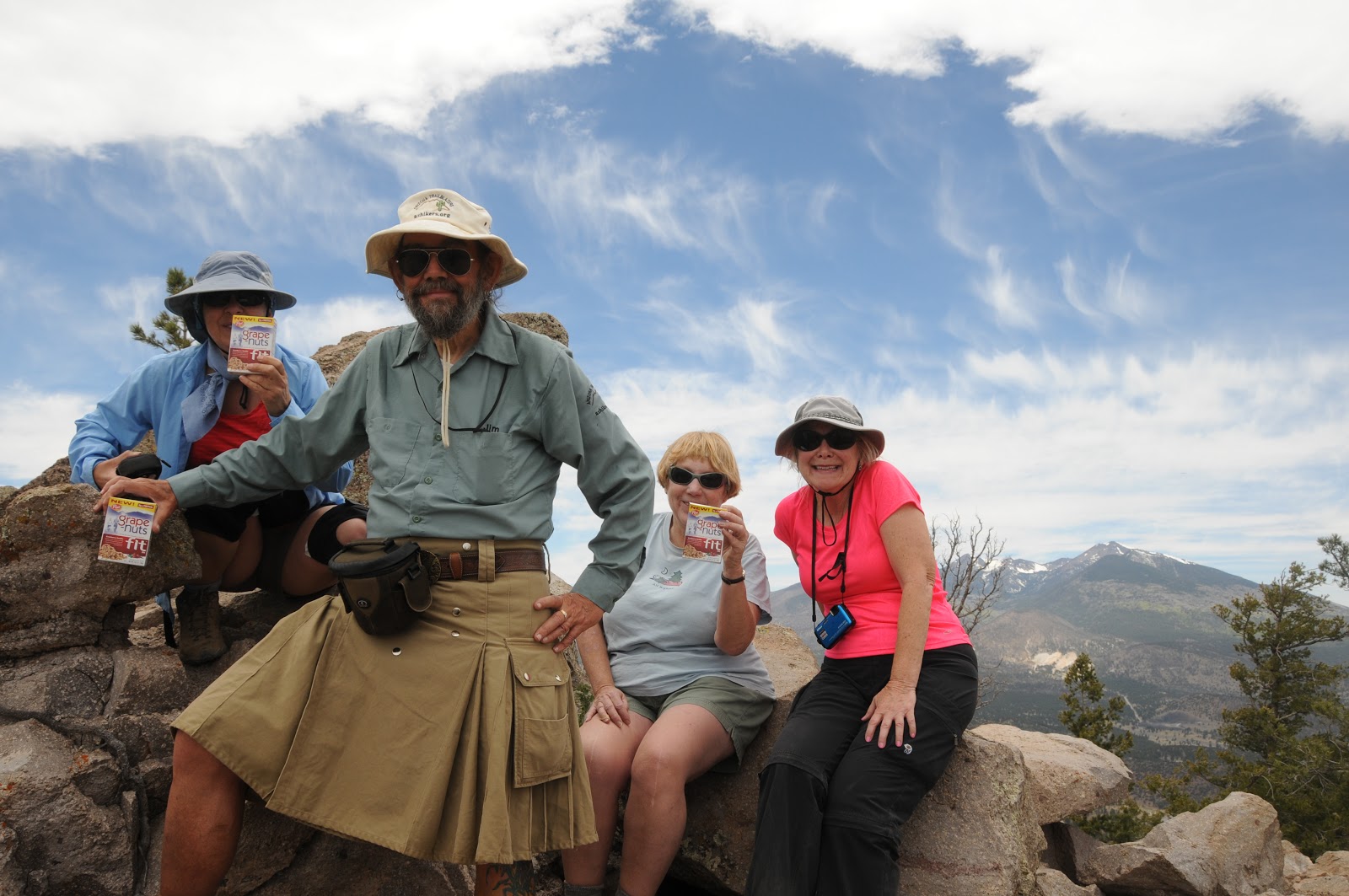 |
| Taking a break on the summit |
LENGTH: 10 miles roundtrip
RATING: difficult
ELEVATION: 6956' - 8916'
GETTING THERE:
From Phoenix, go north on I-17 to the junction with I-40
just south of Flagstaff.
Head east (right) on I-40 and continue to the junction for
AZ89 NORTH at exit 201.
Follow AZ89 north to the entrance for Sunset Crater at
milepost 430.3.
Turn right onto Sunset Crater Road (FR545) and go 1.7 miles
to FR545A, which is signed for O’Leary Group Campground. Turn left on FR545A
and go 0.25 mile to the parking area on the right near the gate for O’Leary
Lookout.
 |
| View of San Francisco Peaks from the trail |
INFO: Flagstaff Ranger District, Coconino National Forest,
928-526-0866
MORE PHOTOS:


