Find A Trail. Start Your Search Here:

Thursday, May 2, 2013

Liquid gold of the backwoods


LYNX CREEK GOLD PAN DAY USE AREA
Prescott

In the grand scheme of things, gold may be precious, but here in Arizona, water is like gold.  Although we have our fair share of creeks, lakes and rivers, it's not like say, Seattle where it’s so damp, moisture is taken for granted. Our water is as rare and beloved as any gem that ever  adorned Elizabeth Taylor. This relative scarcity of surface wetness means that water hikes are an especially big deal here in the Grand Canyon State.  And, with the annual onslaught of dreaded triple-digit heat now smothering the Valley, more of us will be craving luscious creek side escapes in the coming months.  Of course, some of the best water-themed hikes require navigating miserable roads and planning meticulously timed arduous treks into the backwoods of the Mogollon Rim and beyond.  However, there are 
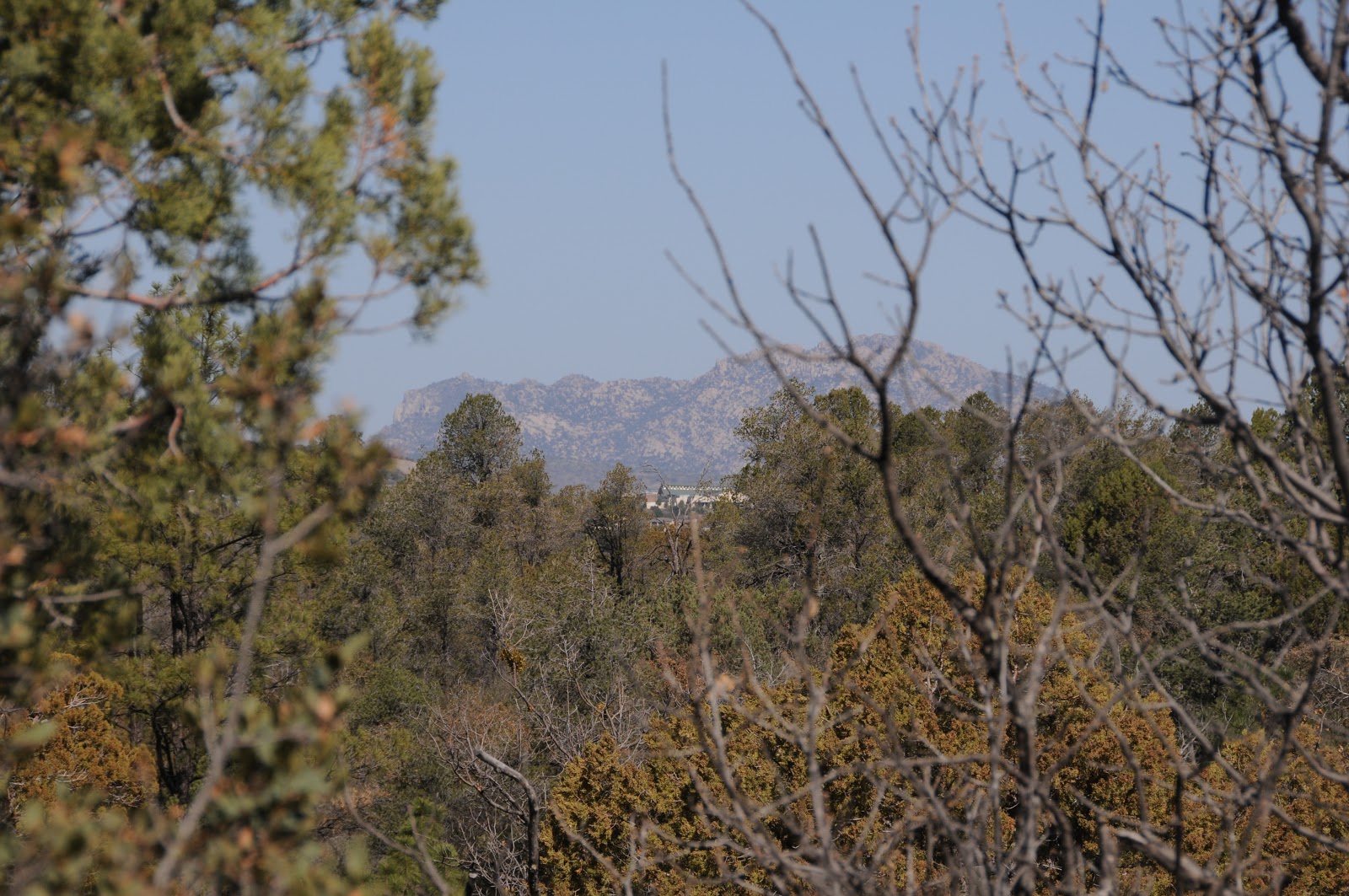
a few places where water flows just yards from maintained beaten paths.  One good place to try is the gold-panning area north of Prescott's Lynx Lake.  Here, footpaths and two short trails thread among creek side willows, fragrant pines, dredge tailings from former gold mining operations and trickling rivulets heading toward the Lynx Lake dam. The water here is shallow and flow varies with snowmelt and rain but the area's nice shade, easy access and proximity to myriad recreations opportunities make this a sweet kick off spot for a day of exploring. 

LENGTH:
Trail 444:  0.5 mile one-way
Highlands Trail 442: 1.2 miles one-way
ELEVATION: 5425' - 5656'
RATING: easy, exploratory
FACILITIES: vault toilet at site
HOURS: day use only
GETTING THERE:
From Phoenix, go north on I17 to the Cordes Junction interchange for AZ69.  Head west toward Prescott on AZ69 to the stoplight at Walker Road which is just past the Costco and milepost 293. Turn left and follow Walker Rd 1.2 miles to Lynx Creek Road (FR9401, signed Lynx Creek Ruins/Salida Gulch), turn left and continue 0.4 mile to the "gold panning" trailhead on the right.  
INFO:
Bradshaw Ranger District, Prescott National Forest

MORE PHOTOS:

Wednesday, May 1, 2013

Bill Williams Mountain Road re-opens

Hikers (and outdoor enthusiasts)  woo hoo!---just in time for the summer hiking and driving season:


Jacqueline C. Banks
Public Affairs Officer
Kaibab National Forest
(928) 635-8314
jcbanks@fs.fed.us
www.fs.usda.gov/kaibab <http://www.fs.usda.gov/kaibab>
www.fs.usda.gov/4fri <http://www.fs.usda.gov/4fri>
www.flickr.com/kaibabnationalforest <http://www.flickr.com/kaibabnationalforest>
www.twitter.com/KaibabNF <http://www.twitter.com/KaibabNF>

Kaibab National Forest Reopens Bill Williams Mountain Road

WILLIAMS, Ariz. – The Kaibab National Forest has reopened Bill Williams Mountain Road, Forest Road 111, for public use.  The road was closed over the winter due to safety concerns.

While the road has reopened, members of the public should exercise caution while driving in the area due to maintenance work that will be occurring over the next few days.

For additional information, please contact Deirdre McLaughlin at the Williams Ranger District, (928) 635-5662, damclaughlin@fs.fed.us.


Monday, April 29, 2013

Hike a "gold country" gulch


SALIDA GULCH LOOP TRAIL
Prescott
Lynx Creek

When it comes to historic gold ore hot spots in Arizona's hills, the mountains around Prescott held the mother lode.  Defunct mining operations have pretty much depleted the area’s precious metal deposits, leaving behind dredge tailing and pipe dreams for prospectors. Lynx Creek flows through the heart of this gold country and is a popular spot for recreational treasure hunters panning for dust and nuggets.  The Salida Gulch trail #95 begins at a section of the creek that is undergoing restoration from the effects of decades of mining.  It's a beautiful   riparian strip with crisp water tumbling over a pebbly waterway that hikers must cross to pick up the trail. Roughly 0.1 mile beyond the creek, pass a gate and then look for the turn off for trail #95 on the right.  The loop begins within a few yards---go left for the shady "gulch" leg or right for the sunny "ridge" side-- it all circles back.  I began with the gulch leg---a 1.6-mile trek through a narrow, stone-entrenched canyon.  Views are sparse on this east side of the loop but intermittent streams and runoff channels foster a cooling canopy of pine-oak woodlands and blooming shrubs.  At about the half-mile point, a prominent prehistoric rock art gallery of decorative coils, intricately sketched game animals and mystifying human forms are incised into massive grey boulders to the left of the trail.  There's another panel farther up the path, but it's not so easy to spot.
Woodlands on the gulch side of the loop

A mile beyond the petroglyphs, the trail makes a sharp turn and begins climbing to the ridge above the gulch.  This 2.4-mile leg leaves the forests and enters a scrubland of junipers, yucca and manzanita with views of Prescott's famous Granite Mountain and the towers on Spruce Mountain.  At one point, you can look down on the gulch leg of the loop winding below off to the right.  For a trail located just about a mile south of a busy Costco shopping center and adjacent to popular Lynx Lake Recreation Area, this easy-on-the-feet hike is surprisingly quiet and enjoyable.

View of Granite Mtn from the ridge 

LENGTH:  4.5-mile loop (includes access trail 9263)
RATING: easy
ELEVATION:  5050' - 5742'
FEES: none at this site
FACILITIES: none, but there's a vault toilet at the gold panning site
GETTING THERE:
From Phoenix, go north on I17 to the Cordes Junction interchange for AZ69.  Head west toward Prescott on AZ69 to the stoplight at Walker Road which is just past the Costco and milepost 293. Turn left and follow Walker Rd 1.2 miles to Lynx Creek Road (FR9401, signed Lynx Creek Ruins/Salida Gulch), turn left and continue 1 mile to the trailhead at the forest boundary sign.  Begin hiking on trail 9263, hop the creek and look for the trail 95 junction in about 0.1 mile.

INFO: Bradshaw Ranger District, Prescott National Forest
MORE PHOTOS: