Posts
Posts


PLATEAU POTATO LAKE
 |
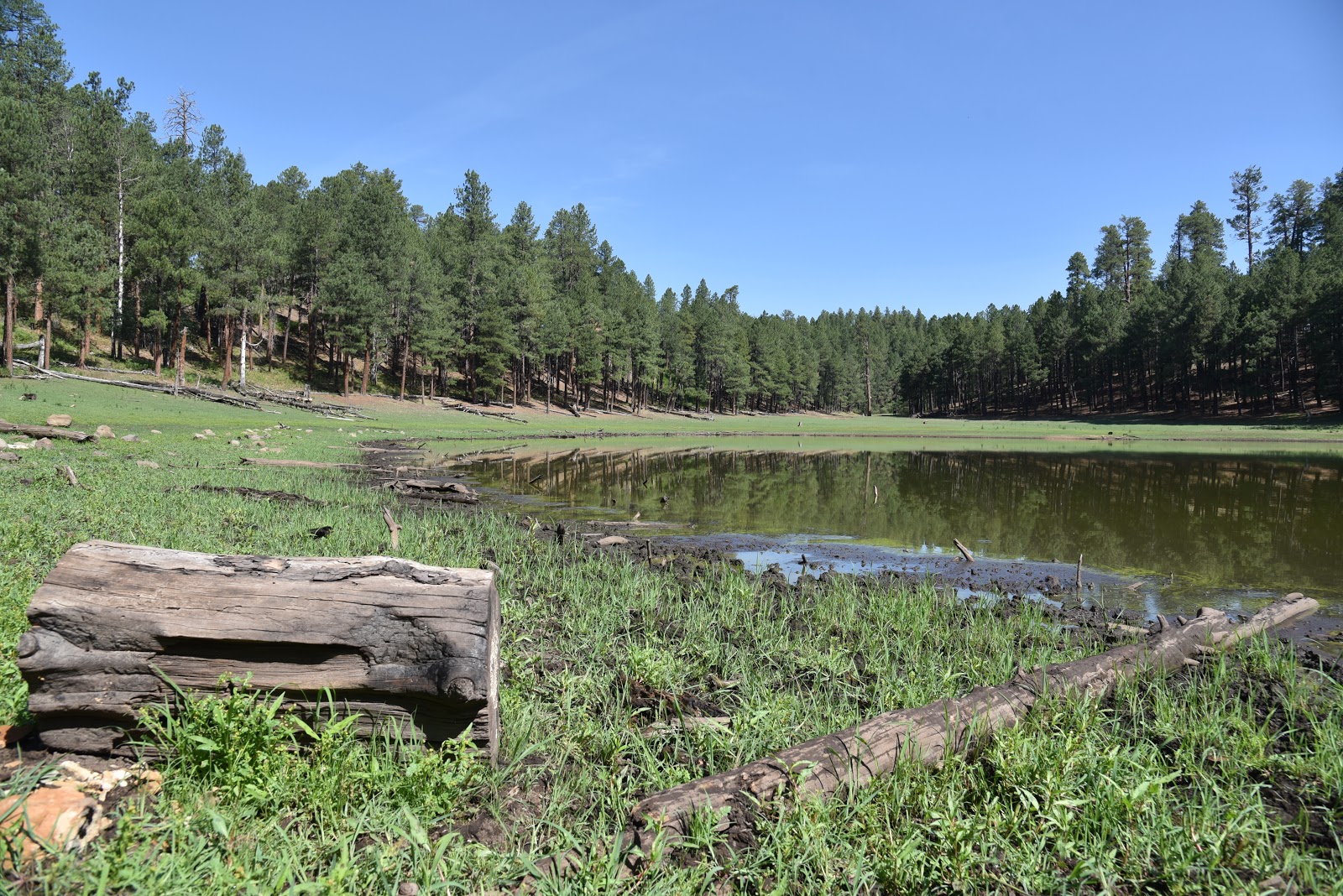
| Potato Lake Tank on Anderson Mesa |
Roughly thirty minutes south of the summer hiking magnet of Flagstaff, is a quieter but no less attractive trekking destination.
 |
| The basin of Potato Lake on Anderson Mesa |
The Plateau Lakes on Anderson Mesa offer respite from crowds in an under appreciated landscape replete with quirky geological features.
 |
| Forest Road 82D near Als Lake |
The Plateau Lakes Region in Coconino National Forest is anchored by Mormon Lake—Arizona’s largest natural lake.
 |
| Texas Frog Fruit blooms April - November |
During years with lots of precipitation, the lake can span an area up to 12 square miles.
 |
| View of Peaks from FR9484D |
But that’s the exception, not the norm. Mostly, it’s a scenic yet mucky wetland of puddles and swales that still manages to attract wildlife and support a fringe of water-loving vegetation.
 |
| Forest Road 82D near Als Lake |
It’s also the mother ship per se for dozens of smaller natural water pockets, wildlife waterholes and created lakes that orbit its massive basin.
Geologists describe the Plateau Lakes as naturally occurring bowl-like depressions formed by various tectonic events that resulted in slumps and sinkhole features in the volcanic landscape.
 |
| Field Bindweed blooms May - September |
 |
| Junction FR82D and FR9484D |
Spread across the flatland like pock-marks or lunar craters, some are no larger than a kiddy pool while others rival football stadium proportions. Like Mormon Lake these hollows vacillate between weedy swamps and shallow pools that evaporate entirely in times of drought leaving behind crop-circle-like impressions.
 |
| Entrance to Potato Lake |
Hiking to the Plateau Lakes can be done by hopping on the Arizona National Scenic Trail Passages 29 and 30 which skirt by several, or by using a network of rough dirt roads that traverse the mesa.
 |
| Typical scene on FR9494D |
One interesting destination is Potato Lake. Don’t be confused, though. This is a different animal from the watery, crawdad infested “solution depression” (geology speak for a kind of sinkhole) Potato Lake off Forest Road 300 (Rim Road) on the Mogollon Rim near the community of Pine. (Read the POTATO LAKE story on this blog).
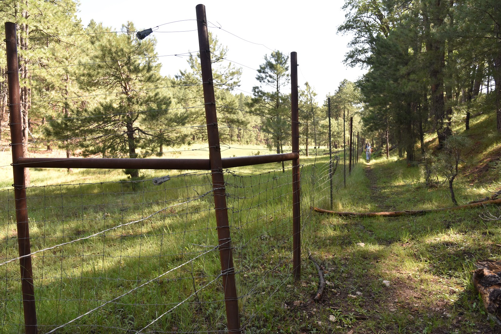
The easy hike to "Plateau Potato Lake” uses three easy-to-navigate dirt roads. Beginning on Forest Road 9117F, the trek heads east for 0.4-mile to where it meets the fenced edge of Post Lake—another Plateau Lake.
 |
| Potato Lake Tank |
 |
| A storm brews over Als Lake |
The rocky two track then bends north onto the mesa and merges into (unsigned) Forest Road 82D.
Anderson Mesa is a mostly flat, windswept expanse dotted with junipers and intermittent plots of Ponderosa pines.
 |
| San Francisco Peaks seen from FR82D |
The airy expanse is criss-crossed with draws and canyons that disrupt exposed grasslands favored by pronghorn. The mesa is surrounded by volcanic mountains that churn up weather, which means it’s almost always windy here.
 |
| Post Lake |
At the 1.3-mile point, views of 8,463-foot Mormon Mountain to the west and 12,633-foot San Francisco Mountain north of Flagstaff stand out over Als Lake, another Plateau Lake with hit-or-miss water levels. It’s worth mentioning that even when bone dry, the footprint of these ephemeral lakes are often lush with wildflowers and knee-high grasses.
 |
| Storm over Potato Lake Road |
Past the lake, the road meanders through fragrant woodlands dominated by junipers until it comes to a fork where FR9484D spins off to the right. The road, which is also known as Potato Lake Road is signed, but the numbers are barely legible. At this juncture, FR82D continues a half-mile north to one of the most well-known Plateau lakes—Deep Lake.
It’s worth a side trip on the way back. (Check out the DEEP LAKE story on this blog). FR9484D continues through more juniper-shaded terrain with chunks of basalt strewn about the rusty soils. The route meets a junction with FR9119W at 2.8 miles. FR9119W heads left and circles Potato Lake, but this trek continues straight ahead on FR9484D. After another 0.2-mile, a stand of thick greenery of pines, firs and oaks herald the entry to Potato Lake.
Passing through an aboreal archway, the road opens up to views of the sprawling lake. In early June 2026, the lake was dry, but adjacent Potato Lake Tank contained a basin of residual muddy water. Built into the south edge of the lake with an earthen dam, the margins of tiny waterhole showed signs of wildlife activity. Elk, deer, waterfowl, raccoon and coyote tracks sunk deep into the moist muck signal it’s time to turn the hike around and leave the precious water to the winged and furry forest residents.
 |
| trailhead |
LENGTH: 6 miles roundtrip
RATING: easy
ELEVATION: 7,049 - 7,127 feet (447 feet of accumulated elevation change)
GETTING THERE:
From Flagstaff go 17 miles south on Lake Mary Road (County Road 3) to Forest Road 82E on the left just past milepost 327 which is signed for Ashurst Lake. Follow FR 82E 1.7 miles to FR 9117F on the left. A faded sign marks the road. There’s parking in dirt pullouts.
Forest Road 82E is washboard gravel suitable for all vehicles. High clearance is recommended on FR 9117F. No facilities or fees.