KIWANIS TRAIL
 |
| Remnants of Hurricane Sergio over Kiwanis Trail 10-14-18. |
Long before the craggy
hills that comprise South Mountain where outfitted with hiking trails and
picnic ramadas, the Akimel O’odham (Pima) people referred to them as Muhadag
Du’ag or Greasy Mountain.
 |
| A hiker enters the mist on the National Trail near Mt. Suppoa. |
The name comes from a Native American legend about
how hot grease dripping from the mouth of Trickster Coyote as he consumed food
stolen from a cremation fire gave the mountains their dark stains.
 |
| October rains have greened-up the desert. |
People have been
carving their marks in the "greasy" dark rock veneers of the mountain ranges south of Phoenix since prehistoric
times. Archeologists have attributed artifacts and petroglyphs (rock art) found in the area to a
wide scope of peoples who lived in and around what is now known as South
Mountain Park.
 |
| Hohokam petroglyphs are plentiful along Kiwanis Trail. |
Heritage sites
in the park include a few rare incised symbols from hunter-gathers of the Archaic
period (8000-2000 years ago), thousands of Hohokam (A.D. 400-1450) etchings and
the scribblings of early European settlers. Many of these artful and mysterious
panels are visible from the more than 50 miles of hiking trails within the
park. In addition to several petroglyph
sites with human forms, spiral patterns and animal designs tapped into stone by
the park’s ancient inhabitants, Kiwanis Trail also exposes features of the park’s more recent
history.
 |
| Telegraph Pass Lookout Tower on the National Trail. |
Established in 1924,
the park was a major work center for the Civilian Conservation Corps between
1933 and 1940.
 |
| View of Downtown Phoenix from Telegraph Pass. |
During that time, roughly
4000 workers constructed many of the park’s trails and masonry/stone buildings.
 |
| Kiwanis Trail was constructed by CCC workers in the 1930s. |
 |
| View of the Salt & Gila River Basins from National Trail. |
The Kiwanis
Trail is a classic example of CCC construction projects. Its hand-hewn cuts,
native-stone steps and check dams built into drainages to slow the flow of water
and minimize erosion are relics of the Depression-era program.
 |
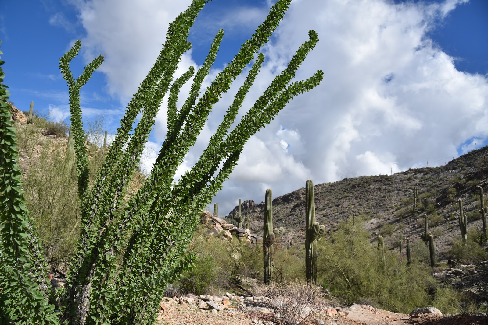
| AZ Desert-thorn bloom year-round with ample moisture. |
Over its 1-mile
course, the trail climbs 480 feet through a furrowed canyon to Telegraph Pass
Road. As the trail gains elevation, views of Downtown Phoenix expand from
sliver-glimpses to full blown panoramas. Moisture dropped by the remnants of
hurricanes Rosa and Sergio over the past weeks coaxed the green back into the
landscape. The wettest October in recorded state history has enabled ocotillos
to puff out, drought-starved brittle bush to sprout leaves and delicate Arizona
Desert-thorn to bloom in fragrant clusters.
 |
| Post-drought brittle bush will soon produce yellow blooms. |
Heavy rain can also cause Valley trails
can become very muddy. Although it’s advisable to avoid hiking on saturated
trails to prevent damaging them, you won’t encounter mucky quagmires on the
Kiwanis Trail. The path is mostly hard-pack gravel and bare rock, and was built
to drain quickly and withstand wet-weather use.
 |
| CCC-built check dams help prevent erosion. |
At the top of
the trail, the hike may be extended by crossing the road to the National Trail for
a short but steep climb to the Telegraph Pass Lookout. Situated on a knoll
overlooking the Salt and Gila River Basin, the rustic stone hut serves as a
convenient turnaround point or stop off before continuing on the 15-mile
National Trail that traces ridgeline crests for the entire length of the park.
 |
| Dark rock veneers on "Greasy Mountain". |
 |
| Kiwanis Trails ends at Telegraph Pass Road |
LENGTH: 2 miles
round trip or 2.6 miles roundtrip to Telegraph Pass Lookout
RATING: moderate
ELEVATION: 1580- 2060 feet
GETTING THERE:
South Mountain
Park, Phoenix, 10919 S. Central Ave.
From the main park entrance at the end of Central Avenue,
continue on Stephen Mather Dr. and go left at the first four-way intersection.
Take another left onto Piedras Grandes Dr. and continue to the trailhead.
INFO & MAPS:
REFERENCE:
Landscape of the
Spirits Hohokam Rock Art at South Mountain Park
Todd W. Bostwick
and Peter Krocek
University of
Arizona Press, Tucson
Uapress.arizona.edu