


CORRAL LOOP
McDowell Sonoran Preserve
 |
| Brown's Mountain seen from Brown's Ranch Road |
A mile and a half north of the busy Brown’s Ranch trailhead, a gnarled mesquite tree grows through and around the crumbling walls of concrete feed trough. Nearby, tangled barbed wire, weather-worn and clinging tenuously to wood posts, surrounds a conglomerate of disintegrating foundations and rusty metal scraps.
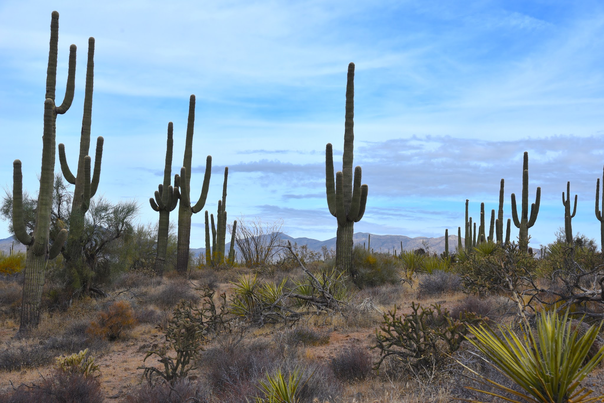 |
| Saguaros tower over the Corral Trail |
The relics are what remains of Brown’s Ranch. Established in 1916, the 44,000 acre operation ran cattle in the mountainous desert space before being abandoned in mid-century. The historic site, which is now part of the McDowell Sonoran Preserve, is the key attraction on the Corral Trail in the popular Scottsdale recreation hub.
 |
| Yuccas sway above Brown's Ranch Road |
 |
| Desert plants grow among the ruins of Brown's Ranch |
The ranch site can be reached by following Brown’s Ranch Road north to the Corral Trail. The 2.3-mile path swings through gorgeous Sonoran Desert between the distinctive flat-top form of Brown’s Mountain (3,253 feet) and the jumbled granite mounds of Cholla Mountain (3,406 feet). The first set of ranch ruins appear off to the left just a few yards from the road junction.
 |
| A Phainopepla bird perched on a yucca eyes nearby mistletoe |
 |
| A bird nest (usually cactus wren) built into a cholla cactus |
Even with encroaching cacti, catclaw, frothy turpentine bushes and stray twigs poking through cracked stonework, the old west character is so animated here that you might expect to find cattle grazing among the ruins. Any present-day rustlings, though, are those of browsing javelina, deer, rabbits, lizards and chattering Phainopeplas—black, red-eyed birds with head crests that resemble cardinals-- feeding on invasive mistletoe drooping from ironwood trees.
 |
| A disintegrating foundation at the Brown's Ranch site |
 |
| Cholla Mountain (center) & Granite Mountain (right) seen from Brown's Ranch Road |
A string of barbed wire fencing trailing off from the main site soon dissolves into thickets of jojoba bushes and spiny yucca that line the trail as it swings north and west through open desert with towering saguaros and distant views of the Cave Creek Mountains to the north and Sierra Ancha Mountains to the east. Occasional glimpses of sagging fences are the only relics visible until near where the trail reconnects with Brown’s Ranch Road.
 |
| Blue Palo Verde trees grow along the route |
 |
| Beware of the notoriously sticky "Jumping Cholla" |
 |
| Navigating the trails of McDowell Sonoran Preserve is easy |
 |
| The desert reclaims its territory |
 |
| Cave Creek Mountains seen from Brown's Ranch Road |
Here, a round cinder block structure that at one time held ranch resources now serves as a sort of giant planter for mesquite trees surrounded by untamed clusters of "jumping cholla" (Chain Fruit Cholla) that provide fodder for pack rats and nesting habitat for cactus wrens. Tread lightly while exploring these fragile remains that are slowing being reclaimed by environmental forces and desert creatures. Leave what you find, watch where you step--there are no cow pies, but those pesky magnetic cholla stems (and snakes, maybe) can ruin your day--and enjoy the trip back in time.
LENGTH: 5.5 miles
RATING: easy
ELEVATION: 2,645 – 2,763 feet
GETTING THERE:
Browns Ranch Trailhead.
30301 N. Alma School Pkwy., Scottsdale.
From Loop 101 in Scottsdale, take the Pima/Princess exit 36, travel 6.5 miles north on Pima to Dynamite Road. Turn right and continue 2.7 miles to Alma School, turn left and drive 1 mile to the trailhead. The preserve is open sunrise to sunset daily. There are restrooms at the trailhead.
INFO:
https://www.scottsdaleaz.gov/preserve
https://azmemory.azlibrary.gov/digital/collection/splimage/id/18/
No comments:
Post a Comment