Find A Trail. Start Your Search Here:

Monday, February 1, 2021

Enchanted Peak

ENCHANTED PEAK

Rincon Peak (center) seen from ElGrupo Trail

From the Enchanted Hills Trails Park trailhead in Tucson, Enchanted Peak, a prominent, 2,795-foot hill, stands out to the northeast.  From this vantage point, its steep slopes appear insurmountable, yet the trails that lead to its summit are surprisingly manageable.  

The summit of Enchanted Peak

Occupying a 356-acre natural area within the east side of Tucson Mountain Park, the tiny parcel at the edge of suburbia packs in 7 miles of non-motorized use trails. 

A crested saguaro on the El Grupo Trail

Winding around the eponymous Enchanted Hills Wash, the interconnected network of trails showcases rich Sonoran Desert vegetation and huge mountain vistas. 
Tecolote Trail circles the base of the peak

There are many ways to enjoy trekking within the park, but, if you’re like some hikers, that peak will be an irresistible destination.  To get to the prize, begin by hiking east on the park’s arterial El Grupo Loop. 
The slopes of Enchanted Peak appear insurmountable

While the trails are well-designated with map posts, some junction signs are offset from the turnoffs, so pay attention.  Numerous shortcut trails and add-on loops lend themselves to customized treks, but if you just can’t get that peak out of your head, here’s the quickest route.

Fire 7 Trail approaches the base of the peak

Follow El Grupo to 1-mile through wide open country and boulder passages where an impressive crested saguaro stands just north of the trail.  Turn left onto the High Noon Trail, hike 0.3 mile, turn left and pick up the Fire 7 Trail which switchbacks up to the base of the peak. 

Tumamoc Hill seen from High Noon Trail

Where the trail meets the peak-circling Tecolote Trail, head right and hike 0.2-mile to the Enchanted Peak Trail.  This final, 0.3-mile path makes a sinuous ascent over bare rock and edgy clefts with outstanding views of high mountain ranges to the east. 

Stone passages are common on the route

For experienced hikers, the climb is only moderate in difficulty until the last few yards where it makes an abrupt and very vertical assault on the summit.  
Summit sign names prominent peaks

On top, an interpretive sign mounted on the small, rocky pinnacle shows the names, distances and heights of prominent mountains in the Tortolita, Santa Catalina and Rincon ranges visible on the near and far horizons.  Look for Mount Kimball (7,258 feet), Mount Lemmon (9,157 feet), Mount Bigelow (8,450 feet), Rincon Peak (8,284 feet) and nearby Tumamoc Hill (3,108 feet), all destinations near trails that get some serious height and present inspiration for more ambitious mountain adventures.
Tortolita Mountains seen from the summit trail


To complete this trek, descend and hike the opposite way around Tecolote Trail and El Grupo Loop or use the excellent signage to wander at will.

Park trails are well signed

LENGTH:  4.1 miles as described here

RATING:  moderate

ELEVATION:  2,479 – 2,795 feet (717 feet of accumulated elevation change)

GETTING THERE:

From Interstate 10 in Tucson, take the Starr Pass Blvd. exit 259.  At the bottom of the offramp, turn right, follow Starr Pass Blvd. 0.5 mile and turn right on Mission Road.  Go 1.3 miles on Mission Road to 36th Street, turn right and continue 2.1 miles to the trailhead.

HOURS: the park is open daily from dawn until dusk. No fees.

INFO:

Enchanted Hills Trails Park

3280 W. 36th Street, Tucson

https://webcms.pima.gov/cms/one.aspx?portalId=169&pageId=578991


Thursday, January 28, 2021

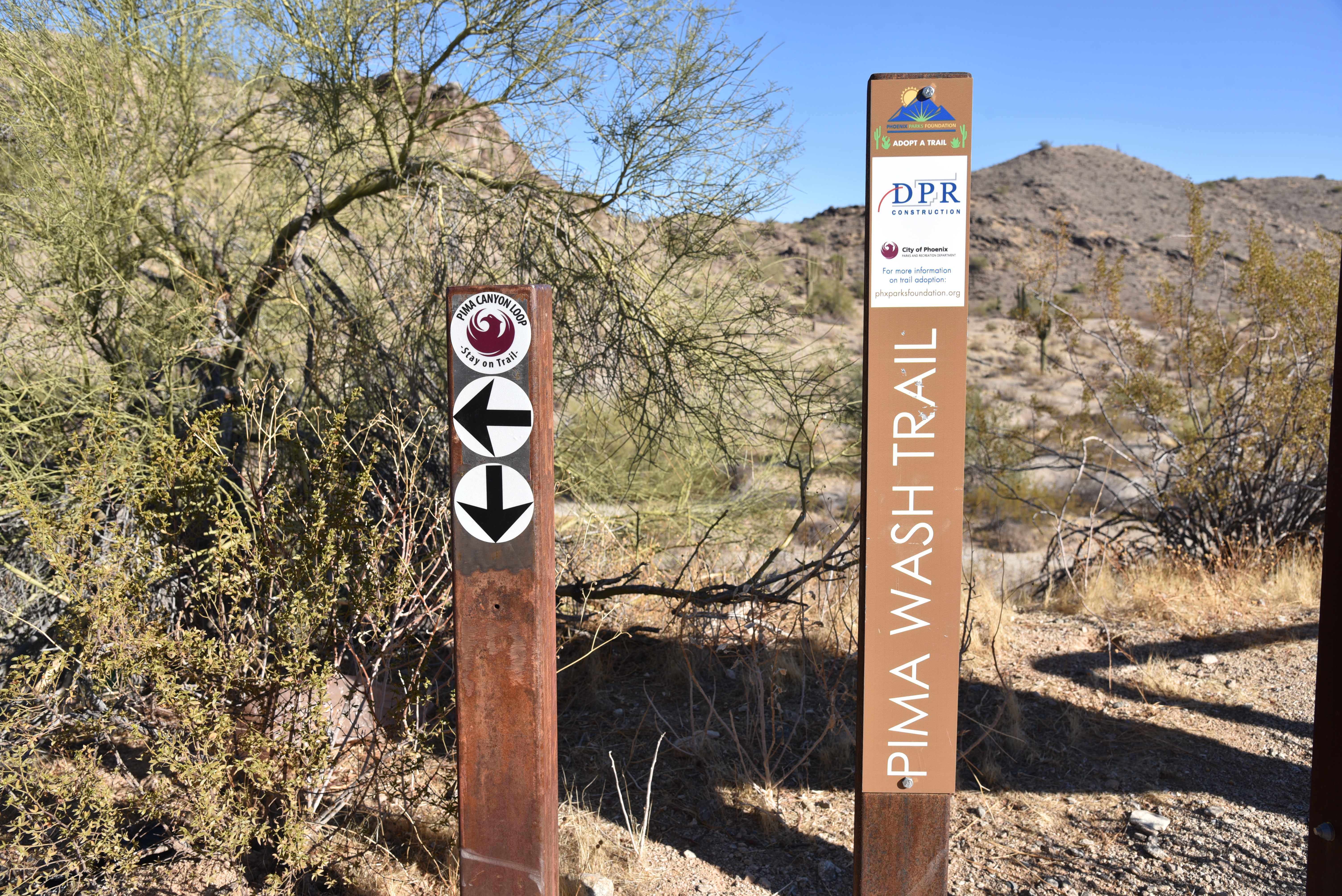
Pima Wash Trail

PIMA WASH TRAIL

South Mountain Park

Hohokam petroglyphs on the Pima Wash Trail

Classic Arizona trails earn their reputations by being stalwart passages into some of our most beloved parks, forests and wilderness areas

Whether they are feral and remote or tame paths just steps from suburbia, these legacy routes (think: Humphreys Peak in Flagstaff, Cabin Loop on the Mogollon Rim and Bell Rock near Sedona, Peralta Canyon Trail in the Superstition Mountains and the Thumb Butte trail in Prescott) never get old.  Pima Wash Trail in South Mountain Park in Phoenix falls into the tame, nearby category and serves up a delightful trek for homegrown hikers and visitors alike.

View from the Dirt Road Trail

Located in the park’s eastern edge adjacent to a golf course and rows of trim homes and shopping centers, the trail is a mainstay in the Pima Canyon trailhead mix of routes.  Newly renovated and outfitted with restrooms, picnic tables and interpretive signs, the trailhead has plenty of parking and is designed to blend in with the surrounding desert hills. 

CCC structures on the Dirt Road Trail

Pima Wash Trail is often done as a loop hike using the Dirt Road and National Trail to tie it together.  To better appreciate the hike, start by reading the trailhead signs that describe the wildlife, vegetation and history you’ll encounter along the route. 

Petroglyphs above Pima Wash 

The short, easy loop is packed with interesting sites and is an ideal choice for keeping young kids engaged.  Begin on the Dirt Road Trail which starts at the trailhead ramadas.  The wide route heads up the edge of Pima Canyon overlooking a rugged wash.  Views of East Valley landmarks including Red Mountain and Four Peaks emerge on the horizon as the trail climbs higher into the canyon.  At near the mile point, a set of native stone buildings sit off to the left of the road.
Desert vegetation on Pima Wash Trail

These were built by the Civilian Conservation Corps (CCC), a government work program established by President Roosevelt in the 1930s.  The intricate masonry walls and arches blend easily into the natural environment and are fine examples of the many CCC-built structures, trails and other features within the park. 
Pima Canyon trailhead blends into the landscape

Just beyond the stone buildings, the road meets the National Trail junction.  Veer right and follow the trail a few yards to the Pima Wash Trail where the route ducks into a sandy, water-ravaged corridor.  Alternately staying in the cliff-bound wash and the ledges above it, the return leg of the loop tops out at a scenic point with a bench where Hohokam petroglyphs are etched into boulder outcroppings and views of the jumbled channel of Pima Canyon give cause for pause.  Vegetation in the wash is dominated by mesquite trees, brittlebush and cacti, but if you have a keen eye, you might spot a rare Elephant Tree.  While they resemble Palo Verde trees (Parkinsonia aculeata), the Elephant tree (Bursera microphylla) is a frost-sensitive tropical species in the torchwood family of plants that produces and aromatic sap similar to frankincense and myrrh. 

A petroglyph panel on Pima Wash Trail

Found in northwestern Mexico and American southwest deserts, Central Arizona, where the tree is a protected species, marks the northern limits of its habitable zone.
The route is signed and easy to follow

The squat trees are characterized by its serpentine, branching trunks that resemble elephant legs.

Young branches and bark are smooth and reddish in color but turn dull green and flaky grey with age.  Because of its close proximity to suburbia, the Pima Canyon recreation area draws the crowds, especially on weekends when many people use the Dirt Road Trail as an outdoor treadmill for speed hiking or power walking.

Interpretive signs enrich the hike experience

However, for those who prefer a more leisurely walk off the beaten path, the Pima Wash Trail offers a less busy meander through classic Sonoran Desert terrain inhabited by myriad critters including Harris Antelope Squirrels, rock squirrels and Turkey vultures. 

LENGTH: 3.2-mile loop as described here

RATING: easy-moderate

ELEVATION: 1,338 – 1,566 feet

GETTING THERE:

Pima Canyon Trailhead. 4800 E. Pima Canyon Road, Phoenix.

From Phoenix, go east on Interstate 10 to the Elliot Road exit 157. Turn right at the bottom of the offramp and continue a few blocks west to 48th Street (major stop light intersection). Turn right onto 48th St and continue to Pima Canyon Road on the left and follow the signs to the trailhead.

FACILITIES: restrooms, water, covered picnic ramadas.

Dogs must be on leash at all times and owners must clean up after their pets.

INFO & MAPS:

https://www.phoenix.gov/parks/trails/locations/south-mountain

Wednesday, January 20, 2021

Huckaby Trail

HUCKABY TRAIL

There are three things to know before stepping out on the Huckaby Trail.

The leafy corridor of Oak Creek on Huckaby Trail

One, that as-advertised 280 feet of elevation change? You’ll do it 4 times.  Two, there are some moderately steep sections that hang close to precipitous drops offs. And, three, the hike is worth sucking up one and two.  

Part of the hike parallels SR89A in Sedona

While it’s located just inside the boundary of Coconino National Forest and within sight of busy hotels and businesses, the classic hike southeast of uptown Sedona delivers a satisfying outdoor experience. 
Midgely Bridge & Oak Creek seen from Huckaby

The hike begins on the sunny rock shelves above Bear Wallow Canyon gradually dipping downhill on a wide dirt road. At near the half-mile point, the trail crosses the bottom of the canyon and begins its unrelenting cycle of ups-and-downs in the drainage-riffled cliffs above Oak Creek.
A scenic overlook on Huckaby Trail

 
Twisting through an airy high desert ecozone of yucca, cacti and blooming shrubs, the narrow trail features continually changing vistas of both wilderness peaks and the streams of traffic moving through a bustling resort hub.  
Midgely Bridge towers over Huckaby Trail

Huckaby Trail crosses Bear Wallow Canyon

Midway through the hike, the route traverses a high ledge above the creek. First glimpses of the waterway glint 200 feet below before the trail makes a hard eastward bend and several more swings around crumbling red rock escarpments to land on a scenic edge with views of Midgley Bridge and the iconic Steamboat Rock and Mitten Ridge formations.

Pinon pines shade parts of the trail

 
The trails crosses Oak Creek below the bridge

From this point, the path spirals downhill along edgy clefts, entering a forest of Arizona cypress and oak trees.  At the 2-mile point, the route meets the floodplain of Oak Creek, but the climbing is not yet over. 
Trail traces cliffs above southeast Sedona

There’s another half mile of trail that hangs on uneven rock shelves that parallel the creek. Here, water-loving sycamores and cottonwoods enter the botanical mix shading an under story of tangled brambles and vines. 
Manzanita is a common shrub on the trail

View of Wilson Mountain from Huckaby Trail

The damp, earthy atmosphere is magical year-round--icy grey in winter, green and vibrant in spring and a canopy of golden foliage in autumn.
View of Mitten Ridge from Huckaby Trail

The cliff hike dissolves into a sandy walk through a small meadow that leads to the banks of the creek beneath Midgley Bridge. 
Oak & sycamore trees line Oak Creek

Steamboat Rock & Wilson Mountain on horizon

For those inclined to rock hop over the water, the trail picks up on the other side and heads uphill again where it ends at the Wilson Mountain trailhead along State Route 89A.
The distinctive seeds of Arizona cypress trees

A winter scene along Oak Creek

LENGTH:  5.6 miles roundtrip

RATING:  moderate

ELEVATION:  4,211 – 4,492 feet (1,157 feet of accumulated elevation change)

GETTING THERE:

From traffic circle located at the Oak Creek bridge on State Route 179 in Sedona, turn right onto Schnebly Hill Road and go one mile to the trailhead on the left.

Roads are suitable for all vehicles. There is a restroom at the trailhead.

FEE: A Red Rock Pass or equivalent is required at the Schnebly Hill trailhead. There is a permit kiosk at the trailhead.

https://www.fs.usda.gov/detail/coconino/home/?cid=stelprdb5416207

INFO: Coconino National Forest

https://www.fs.usda.gov/recarea/coconino/recarea/?recid=55322

Tuesday, January 12, 2021

Scorpion Point

SCORPION POINT

Tarantula Trail "bear" overlooks Cone Mountain

Scorpion Point doesn’t rise particularly high over the boulder-strewn flats of the far west sector of Scottsdale’s McDowell Sonoran Preserve.  Yet, even without cloud-scraping height, the weather-worn mound provides a platform for viewing a sprawling desert landscape and  a concentrated maze of tightly-woven trails favored by mountain bikers for their challenging turns and narrow passages.

Sweeping mountain views from Scorpion Point

Scorpion Point sits at the core of a vast field of granite boulders laid out in jumbled piles, fortress-like walls and isolated pinnacles.  Some have been shaped into bizarre, often amusing forms by millions of years of exposure and erosion. 

Watch for blind curves and oncoming traffic

Easily accessible by either the Brown’s Ranch or Pima Dynamite trailheads, a hike to the point unspools in an environment of rich botanical diversity and an outdoor museum of sorts with natural stone sculptures.  From the Brown’s Ranch trailhead, begin the hike on the Latigo Trail heading west. 
A stone "rabbit" on Tarantula Trail

From the start point, the trail dips into a largely shadeless expanse of desert where sun-loving plants like Christmas cactus, turpentine bush, jojoba, chuparosa, desert hackberry and desert lavender stand out over acres of prime wildflower territory.  With ample rainfall, this exposed tract produces carpets of colorful blooms in spring that creep up the slopes of nearby Cone and Brown’s Mountain. 
Desert lavender blooms along the route

At the 1.2-mile point, pick up the Hackamore Trail, hike 0.2-mile, and turn left onto the Tarantula Trail. The next half-mile is packed with whimsical stone sculptures. 
A tight spot on Dare A Sarah Trail

It won’t take too much imagination to spot lumps of granite that resemble a rabbit, hog, guppy, hippo and an enormous standing bear*.  Once through the rock art gallery, the trail encounters a sign warning of dangerous conditions ahead. 
Christmas cactus is a type of cholla

Chuparosa grows in crevices throughout the hike

This is the aforementioned bike maze where slickrock and blind curves warrant paying attention to footing and oncoming traffic.  Hikers will find the well-signed obstacles within the maze only moderately tricky.  Just follow the Dare A Sarah and Scorpion Trails to get to the point. 
Saguaros soar above the Hackamore Trail

Brown's Mountain seen from Latigo Trail

A short spur path leads to the bald lookout for unobstructed vistas that stretch all the way to the peaks of Tonto National Forest in the north to the familiar profiles of Pinnacle Peak, South Mountain and the distant Sierra Estrella range to the south.  
The route is well-signed and easy to follow

"Hippo" rock on Tarantula Trail

Make the Scorpion Point your turnaround spot or use the excellent preserve maps available online to build your own loop or car-shuttle hike.
"Hog" rock of Tarantula Trail

LENGTH:  5.3 miles round trip

RATING: easy-moderate

ELEVATION: 2,513 – 2,732 feet

GETTING THERE:

Brown’s Ranch Trailhead:

30301 N. Alma School Rd., Scottsdale.

From Loop 101 in Scottsdale, take the Pima/Princess exit 36, and go 6.5 miles north on Pima to Dynamite Road.  Turn right and continue 2.7 miles to Alma School Pkwy., turn left and drive 1 mile to the trailhead.  To reach the start of this hike, walk 0.1-mile south from the parking area on Alma School (the road you came in on) to the Latigo Trail access point on the right near the pedestrian crosswalk.

The preserve is open sunrise to sunset daily. There are restrooms at the trailhead. There are no fees.

* Rock formation interpretations are my own and not intended to imply "official" moniker designations.

INFO:
https://www.scottsdaleaz.gov/preserve

Monday, January 11, 2021

The Sun Corridor Trail: Concept to Reality

The Sun Corridor Trail: Concept to Reality

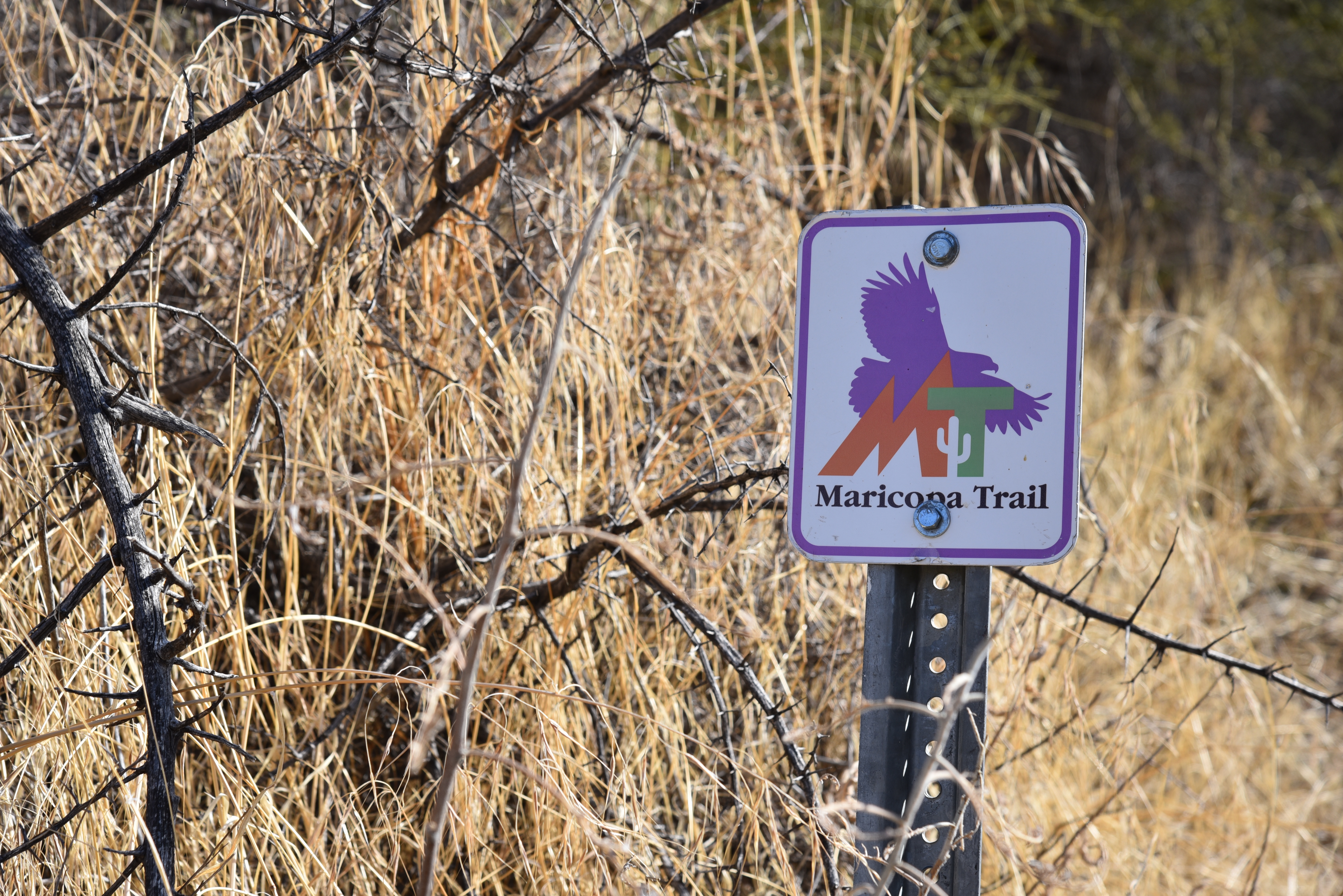
Maricopa Trail will be part of Sun Corridor Trail

There’s exciting news for Arizona hikers.  The Sun Corridor Trail, a planned 1,500-mile multi-use route that will run from Douglas, Arizona to Las Vegas, Nevada is gaining support and traction.  A new website with maps, plans and segment descriptions was rolled out last week. 
The route will run through the Mormon Lake area

The route will incorporate existing trails such as the Black Canyon Trail, Prescott Circle Trail, Flagstaff Loop Trail, Sedona Urban Trail System, Maricopa Trail, Central Arizona Project canal trails and Tucson’s Tribute Trail for an epic tour of the Southwest’s natural resources that include deserts, mountains, forests, grasslands and waterways. 
Prescott Circle Trail will be part of the route

The trail will run through the Huachuca Mtns

The project is a joint effort among city, county, state and federal agencies as well as non-profit organizations that work together to build support through marketing and public involvement while developing strategic plans that will connect communities, benefit economic development and provide nature-based tourism opportunities.

Sedona Urban Trail System will link with the route

The trail will tie in with the Black Canyon Trail

While parts of this epic route are open and ready to explore, the grand-scale plans have the potential rival world-class, interstate icons such as the Pacific Crest Trail and the Appalachian Trail. Check out the new website, spread the word and learn how to support its purpose and participate in its growth, construction and protection.  

 INFO:

https://suncorridortrail.org/explore-the-trail/