Find A Trail. Start Your Search Here:

Monday, December 17, 2018

SUTHERLAND TRAIL

SUTHERLAND TRAIL
Sutherland Wash in Catalina State Park
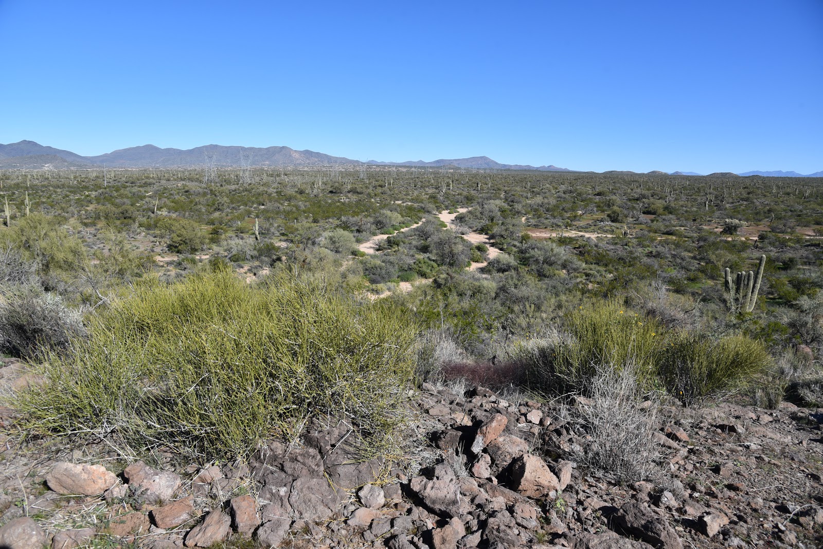
Amazing geology, abundant wildlife and a fantastic fusion of terrains are just a few of the many features of the Sutherland Trail in Tucson.
Views of Pusch Ridge and the Santa Catalina Mtns.
The 9-mile route that begins as a groomed path in Catalina State Park and ends near the top of Mount Lemmon where it intersects the Arizona Trail melds a collection of tame walks and grueling mountain climbs.  The trail’s dramatic mood shifts can be attributed to the contrasting ambiences of the park, Coronado National Forest, Pusch Ridge Wilderness and a protected Desert Bighorn Sheep Management Area.
Fascinating geological features are everywhere.
Water pools in Sutherland Wash
Looking west over the Canada del Oro channel.
Whether you’re interested in the full-strength trek or a mild sampler, Sutherland Trail adapts to fit.  The trail’s first 2.6 miles are within park boundaries and make for an approachable stroll with minimal climbing.  The well-signed route complements the park’s diverse repertoire of trails, offering a customizable, visually-rich journey.
The beautiful Santa Catalina Mountains.
An Arizona Ash tree frames a saguaro-cluttered ridge
Ocotillos front Pusch Ridge peaks.
The route departs the main trailhead, tracing the sandy course of Sutherland Wash at the base of the Pusch Ridge and the Santa Catalina Mountains.  Draped by mesquite trees and flanked by a wall of massive saguaros, this easy passage puts the granitic pinnacles and deep fractures of the Catalinas front-and-center. Soaring to over 8000 feet, the geologically complicated mountains are the result of millions of years of upheavals, volcanism and erosion that’s still shaping the landscape today. 
At the edge of the park boundary, the trail feels more wild.
Within a half-mile, the trail makes a dip into the wash where a smattering of velvet ash, willow and other riparian trees sink their roots deep into the sandy pediment.  During wet periods when water shimmies over the soft channel, hikers must use stepping stones and sandbars to hop the rivulets. 
Stream terraces seen from Sutherland Trail
A few steps beyond the crossing on a knoll above wash, a metal sign gives a fly-over explanation about the formation of the mountains seen across the wash.

For a more detailed account,  geek out over  A Guide to the Geology of Catalina State Park and the Western Santa Catalina Mountains by John V. Bezy.
Saguaros and riparian plants grown in close proximity.
It’s available as a free e-book on the park website.
Stepping stones and sandbars assist wash crossings
Just around the bend at the junction with the park’s 2.3-mile Canyon Loop circuit, the trail begins its uphill assault. 
Reflecting pool near the Canyon Loop Trail junction
The Sutherland Trail passes through bighorn sheep territory
For a shorter option, take the easy loop which gains only 300 feet of elevation as it crosses the wash several times on its way back to the trailhead. 
Chollas soak up sun in the savannah-like open range.
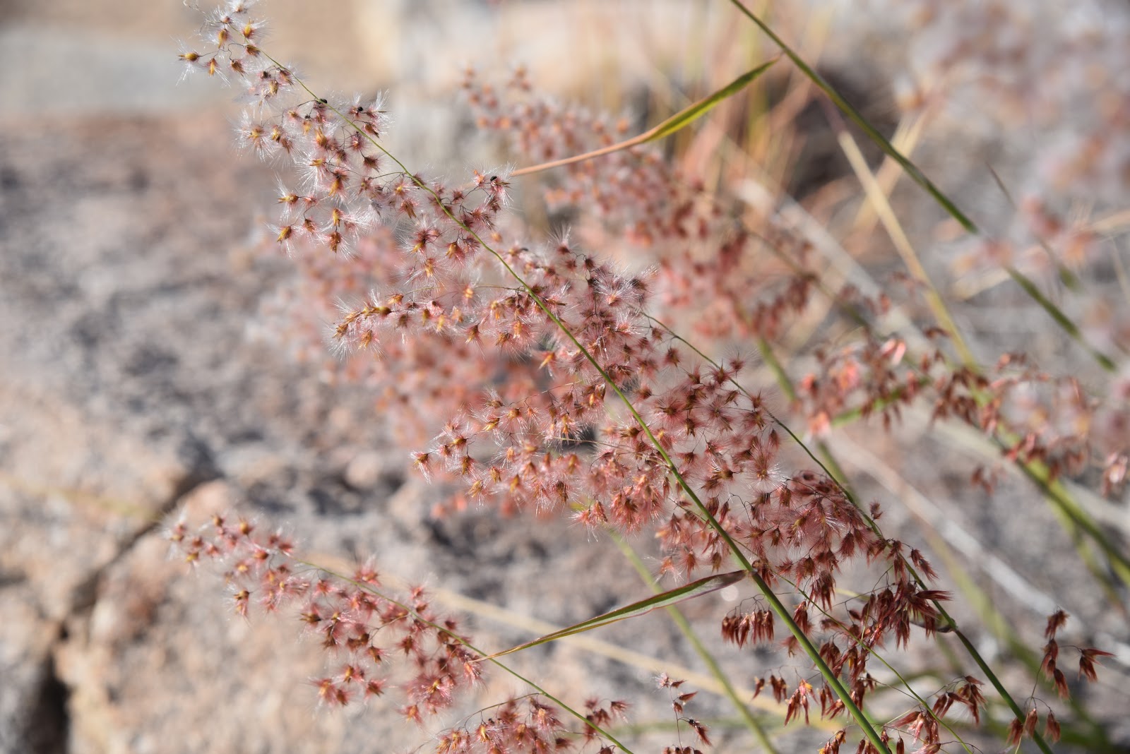
Many species of grasses grow along the trail.
From this point, Sutherland Trail ascends to a sunny grassland above the Canada del Oro--a natural, water-carved channel that carries runoff from the watershed of Mount Lemmon.  A short climb up a ridge on wooden steps opens up views of cobbled stream terraces and the Tucson Mountains to the west. 
Soaptree yuccas in the Pusch Ridge Wilderness Area
Replete with cholla, wild grasses and fruit-bearing shrubs, this open savannah-like segment ducks in-and-out of the wilderness and the bighorn sheep management area on a slender, meandering single track. Before roaming through the sheep recovery area, it's smart to read up on how to do so responsibly by visiting the Arizona Game and Fish Department website https://www.azgfd.com/hunting/species/biggame/bighornsheep/. Also, as sheep are easily disturbed by dogs, please leave Fido at home. 
As it passes among jointed boulders stuffed with crystalized quartz, patches of mesquite, floodplains and soaptree yuccas growing from cracked, stone outcroppings, the route takes on a more primitive feel.   At the 2.6-mile point, it’s decision time.  To continue on Sutherland, head right at the Trail Link junction for a difficult ascent up toward Mount Lemmon. For an 8.8-mile loop, follow the link 2.2 miles, and take the 50 Year Trail south back to the park. Otherwise, retrace your steps and enjoy the tour in reverse.
LENGTH: 9.1 miles one way full trail or 2.6 miles one-way for the park segment
RATING: easy to difficult
ELEVATION: 2700 - 8560 feet full trail or 2700-3360 park segment
GETTING THERE:
From Interstate 10 in Tucson, take the Tangerine Road exit 240 and go east to State Route 77 (Oracle Road). Turn left (south) and continue 0.7 mile to the park entrance on the left.
Pay fee at the gate and continue 1.4 miles to the trailhead.
DOGS: leashed dogs are allowed in the park but may not enter the Desert Bighorn Sheep Management Area.
FEE: $7 daily fee per vehicle.
INFO: Catalina State Park
Arizona Game and Fish Department, Bighorn Sheep information:
https://www.azgfd.com/hunting/species/biggame/bighornsheep/

Monday, December 10, 2018

PROMENADE-SONORAN LOOP

PROMENADE-SONORAN LOOP

Fountain Hills McDowell Mountain Preserve
Ocotillo frame Superstition Wilderness peaks.
Sonoran Trail dips and climbs through rugged foothills.
A Red-tailed hawk glides above the Verde River basin.
Adero Canyon Trailhead officially opened on 11-17-2018.
Stop and smell the desert lavender while hiking.
With the restroom plumbing and water lines nearly complete and the access road mostly paved, the new Adero Canyon Trailhead in the Fountain Hills McDowell Mountain Preserve was officially opened on November 17, 2018. 
The Promenade Trail follows a wide dirt road.
After decades of planning and construction, the roughly 1000-acre preserve now occupies a mountainous sliver of space between manicured golf communities and the hiking hubs of Scottsdale McDowell Sonoran Preserve and McDowell Mountain Regional Park. 
Four Peaks seen from the Promenade Trail
The mini-but-mighty preserve located in the far northwest corner of town really packs a punch in terms of varied hiking opportunities. The preserve has more than 11 miles of non-motorized trails that range in difficulty from very easy to extremely challenging.
Excellent signage keeps hikers on track.
Perhaps the most tantalizing hiker-gravy of the trail complex is its connectivity. Although most of the preserve’s routes are contained within its borders, the Sonoran, Andrew-Kinsey and Dixie Mine trails cross into the adjacent park and preserve.  These property-spanning paths offer seamless foot travel among the popular northeast Valley hiking hubs. 
Brittlebush are prolific bloomers along the trails.
Although each of the preserve’s trails has its own character, they all capitalize on their advantageous location overlooking the Salt and Verde River basin. Here, scenic vistas come in the form of both low hanging fruit and hard-won jewels. Ostensibly, the big jewels are gained by clambering up and over the extreme course of the Western Loop Trail, but a walkabout on the less-arduous Promenade and Sonoran Trails unpacks similar dramatic scenery.  
Wolfberry shrubs bear bright orange fruits.
Lacy Tansy-Aster bloom along the trails.
From the trailhead, the Promenade Trail follows a wide, edge-hugging road on the preserve’s eastern foothills. Trails within the preserve are well-signed and outfitted with location markers that correspond with maps available online and at the trailhead, so getting around is simple as long as you pay attention.
Arching ocotillos shade the Sonoran Trail.
As it swings around chunky bluffs, unobstructed views of the iconic Four Peaks and Superstition Wilderness soar above green valleys and sprawling suburbs. As the route swings northwest, distant silhouettes of Sierra Ancha Mountains back the rugged expanse of the Tonto National Forest. At the 0.8-mile point, take either the Sonoran or Lower Sonoran Trail at location marker ST1/LST1.  
Junction for the loop portion of the hike.
Both legs of the difficult-rated loop have some steep sections and loose rock where the path descends and rises through a craggy notch. Continue less than a mile to the crossover link at marker LST5 and swing back on the opposite leg. 
Sonoran Trail spills into McDowell Mtn Regional Park
While hiking the loop, don’t let the big mountain and valley panoramas dominate your experience.
Desert lavender shrubs frame views of Tonto NF mountains.
A veritable botanical garden of flowering plants tickle the fringes of the trails.  Wolfberry shrubs, cholla cacti, brittlebush and desert lavender drape over the route adding pops of color to the heady hike.  
LENGTH: 3.3 miles
RATING: moderate-difficult
ELEVATION: 2460 – 2170 feet
GETTING THERE:
Adero Canyon Trailhead: 14800 N. Eagle Ridge Dr. Fountain Hills.
From State Route 87 in Fountain Hills, go 3.2 miles west on Shea Blvd to N. Palisades Blvd. Turn right (north) and continue 1mile to Eagle Ridge Drive, turn left and go 2.3 miles to the trailhead.
HOURS: Sunrise to sunset daily
FEE: no fees unless you cross into MMRP ($2 per person).
INFO:

Saturday, December 8, 2018

BADGER SPRINGS WASH TRAIL

BADGER SPRINGS WASH
Agua Fria National Monument
Confluence of Badger Springs Wash & Agua Fria River
Petroglyphs along Badger Springs Wash Trail
Anybody who has travelled  Interstate 17  between Phoenix and Prescott has inevitably sped past the Agua Fria National Monument. The placid rolling hills and boulder fields that are visible from the freeway belie a wilderness of wind-swept grasslands, deep canyons, extinct volcanic features and hundreds of historical resources.
Hikers on the Badger Springs Wash Trail
Proclaimed a national monument by President Bill Clinton in 2000, the 70,900-acre, Bureau of Land Management supervised tract is rich in Native American cultural sites that date to between 1250 and 1450. A.D. 
Steep cliffs flank the Agua Fria River
The remains of more than 400 structures and petroglyph (rock art) panels dot the area. Although most of these delicate and irreplaceable sites reside off-the-radar far from even the worst of the rough roads that criss-cross the monument’s remote mesas and tree-lined drainages, two official trails offer short hikes to some of the area’s most impressive sights.  For those with a high-clearance vehicle and the fortitude to get through a white-knuckle section of edge-clinging dirt road, the massive footprint of Pueblo La Plata on the rim of Perry Mesa above Silver Creek offers walkable exploring. But for a longer, tougher hiking experience, take the Badger Springs Wash Trail.
Willows and cottonwoods thrive in the moist sandy soil.
 
Trees on Badger Springs Wash Trail turn gold in early winter
Located just over a mile from the freeway, the mile-long trail follows a sandy drainage corridor that empties into the Agua Fria River.  Just before trail’s end, petroglyph panels on crags flanking the wash’s east side bear dozens of etchings of animals, humans and artful designs.  As with all archeological resources, please to not touch, alter or remove anything.  The river’s edge marks both the end of the official route and the beginning of a memorable backcountry adventure into a steep-walled gorge with numerous obstacles. Hiking beyond the confluence of the wash and the river is safe to do only when water levels are low.  Do not attempt this hike during rain storms as there is a high potential for deadly flooding. Also, during very wet periods, the route may be impassible.
Perry Tank Canyon seen from Richinbar Mine
Petroglyphs date to between 1250 and 1450 A.D.
High water levels foiled our canyon exploration on 12-8-18.

From the river-wash confluence, it's possible follow the waterway  in either direction, but the most dramatic scenery can be found when you head right (south).  This bend in the river is flanked by the inky black basalt spewed by 4042-foot Joe’s Hill—a dormant shield volcano.  (Joe’s Hill is visible as a low mound directly to the east across from the Black Canyon Rest Area on I-17.)  The twisting course is a mix of soft sand, parched mud fields, acres of boulders, drop pools, rivulets and islands of cottonwoods.  Running water continually changes the landscape, so you’ll need to hunt-and-peck your way through the quagmire. Be alert around puddles and sandbars because groundwater can create invisible sinkholes and spots of quicksand. Use a hiking stick to test ground stability. Throughout the trek, rusty relics of area mine operations rest crumpled in crevasses. Roughly 2 miles from the confluence, Perry Tank Canyon flows in from the east and, although not visible from the canyon floor, the ruins of Richinbar Mine sit on the lip of the canyon 700 feet above.  Even though the hike to this point hasn’t been very long, the irregular route and constant scrambling will tax your stamina more than you think.
When accessible, the canyon hike is rocky and challenging

Highly-skilled, properly outfitted trekkers can opt to continue slogging through either canyon, but for a day hike, this makes for a good turn around point. 
Running water scribbles lacy rivulets in Badger Springs Wash
LENGTH: 1-mile to the river
RATING: easy, then difficult
ELEVATION: 3100-2900 feet
GETTING THERE:
From Phoenix, travel 40 miles north on Interstate 17 to the Badger Springs Road exit 256.
Continue 1 mile east to the trailhead.  A high-clearance vehicle is recommended on the rough dirt and gravel road. 
INFO:
Bureau of Land Management
Friends of the Agua Fria National Moument

Monday, November 26, 2018

BASALT RIDGE OVERLOOK

BASALT RIDGE OVERLOOK
Chunks of lichen-encrusted basalt litter the Basalt Ridge Trl.
Whether you’ve only skimmed its core trails or are a seasoned traveler of Scottsdale’s McDowell Sonoran Preserve, it’s easy to see that the 30,500-acre site is a wonderland of geological features.
Distinctive Cone Mtn. flanks the trails.
Brittlebush is plentiful along the route.
Upper Ranch Trail traverses the saddle of Brown's Mtn.
Invasive mistletoe attracts Phainopela birds.
In the preserve’s north sector, several popular routes wind among the impossible-to-miss mounds of Granite and Cholla Mountains that anchor a landscape of crystalized megaliths, nature-sculpted “mushroom rocks” and stony passages, while other trails wander off into areas with quieter dynamics.  As trail build-out progresses within the North Valley preserve, more and more subdued places are being revealed.
Wolfberry shrubs thrive in moist areas.
Take for instance, the Basalt Ridge Trail.  Like most trails in the preserve, the short singletrack can be accessed via numerous connecting trails.  One scenic option is to start at the Brown’s Ranch Trailhead and take the Upper Ranch Trail. The beauty of this circuit is that it departs the heavily-travelled main corridor almost immediately.  The Upper Ranch Trail glides northward over the saddle between the pointed form of Cone Mountain and flat-topped Brown’s Mountain before descending into a sunny stretch of desert cut with sandy washes, arroyos and impressive vistas of the Cave Creek Mountains.  Where water settles in the drainage areas, fragrant patches of Triangle-leaf bursage, fruit-laden wolfberry shrubs, colorful masses of in-your-face brittlebush flowers and creamy Desert wishbone blooms put on lavish botanical displays.  Roughly 1.6 miles from the start, fist-sized globs of rust-and-ash-colored rock begin to appear scattered along the route. 
Brown's Mtn. framed by blooming creosote.
Look closely and you’ll see the characteristic vesicular texture (holes formed by escaping gasses) of volcanic basalt. Unlike the showy, igneous granites that formed underground millions of years ago, this basalt is the result of surface lava flows or explosive events that also contributed to the site’s geological structure.  At the 1.8-mile point, the Basalt Ridge Trail veers off the Upper Ranch Trail tracing the crest of a low-slung rim.
Desert wishbone bush.
A half-mile and two junctions later, the Basalt Ridge Overlook spur leads to the nose of the rim perched above desert lowlands criss-crossed with dry washes and acres of mesquite. 
Mountain views on Upper Ranch Trail
Triangle-leaf bursage grows near washes.
From this tiny vantage point, views of the Four Peaks in Tonto National Forest to the east peek over Granite Mountain while the closer forms of Pinnacle Peak and Tom’s Thumb are visible to the south. Closer still are glimpses of the acres of preserve land set for future trail development that will undoubtedly add more surprises and deeper perspectives into this complex and beautiful terrain.
Cave Creek Mountains seen from the Basalt Ridge Trail
View from Basalt Ridge Overlook
LENGTH: 4.8 miles out-and-back
RATING: easy
ELEVATION:  2632 – 2741 feet
GETTING THERE:
Brown’s Ranch Trailhead,  
30301 N. Alma School Rd., Scottsdale, 85262.
From Loop 101 in Scottsdale, take the Pima/Princess exit 36, travel 6.5 miles north on Pima to Dynamite Road.  Turn right and continue 2.7 miles to Alma School, turn left and drive 1 mile to the trailhead. The preserve is open sunrise to sunset daily.
There are restrooms, water and a map kiosk at the trailhead.
INFO & MAPS: