SONOITA CREEK STATE NATURAL
AREA
Patagonia
 |
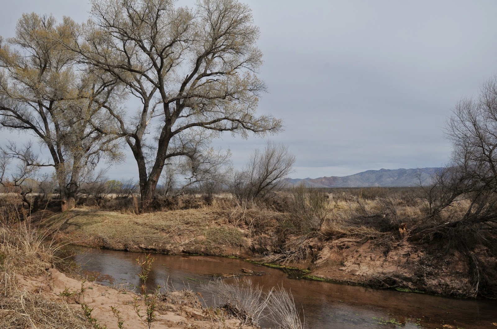
| Sonoita Creek along the Railroad Trail |
The 9,453' summit of Mt.
Wrightson is a magnet for winter snow and summer rain. This
year-round precipitation is the source of the perennial waters
flowing through the Sonoita Creek State Natural Area. Located south
of the sky-scraping Santa Rita Mountains near the vineyards of
Arizona's southeast wine region, the preserve was established in 1994
to protect the fragile watershed and riparian corridor. More than 20
miles of hiking trails wander through the 9,959-acre site that
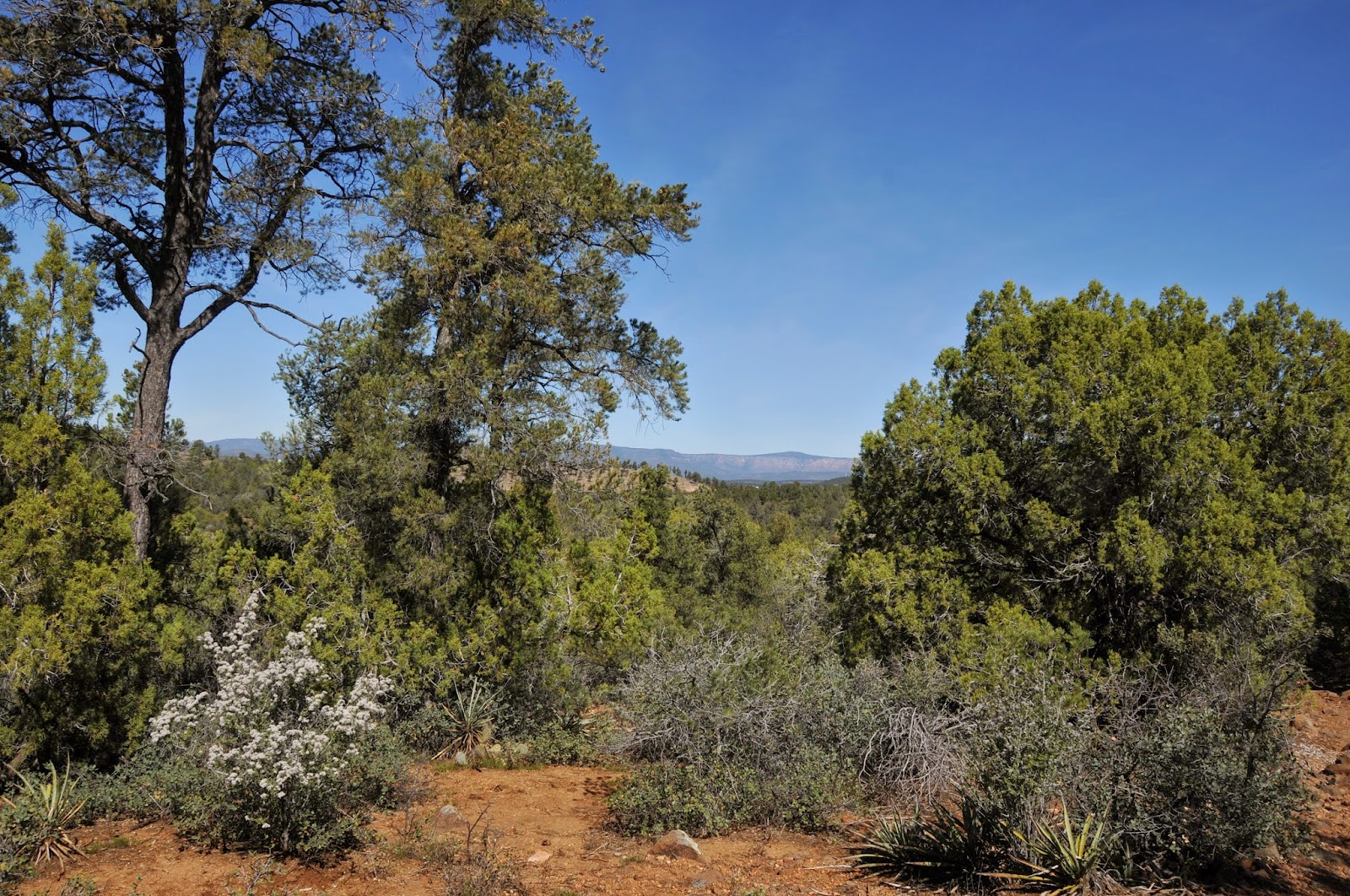
encompasses seven types of vegetative communities from
semi-desert
grassland to moist deciduous forests along the creek. For an overview
of the area, begin with the 0.7-mile, 500' climb up the Overlook
Trail. On the summit, there are terrific views of adjacent Patagonia
Lake and the peaks of the San Cayetano and Patagonia Mountains
huddling around ocotillo studded savannah. To the east, the creek
appears as a green satin ribbon dressing up the muted hills and gullies
that bevel toward the water's twisting groove. A diverse menu of
trails offer treks into the arid foothills, the lake dam and
spillway, up into the Coal Mine Spring watershed and of course, walks
along the creek.
Maps available at the
visitor center and ample junction signage make navigation simple. One
of the most popular day hikes is the easy, 4-mile Sonoita
Creek-Cottonwood Loop circuit which begins with a 1.5-mile walk
through high desert and ends with a spindle plunge into the creek
channel and traipse through a lush forest of ash, willow, mesquite
and walnut trees. For an extended, more challenging hike, continue on
along the Railroad Trail which makes a stepping stone creek cross to
follow the abandoned bed of the New Mexico and Arizona Railway 3
miles to the confluence with the Santa Cruz River. This section of
trail is subjected to the whims of nature, so look for carins where
the path gets erased by floods or downed trees. In addition to proper
gear and plenty of water, a pair of binoculars will come in handy for
viewing the more than 315 bird species--including the impossible to
miss, brilliant red, Vermillion Flycatcher--- that inhabit the area.
LENGTH: 20 miles of trails
RATING: easy-moderate
ELEVATION: 3610'-4250'
FEE: $15 daily per vehicle
DAY USE HOURS: 4 a.m. to 5
p.m.
Sonoita
Creek State Natural Area is always open, but the
Visitor Center is closed during summer. Permits for hiking, hunting
and horseback riding in the Natural Area can be obtained from the park gatehouse or by calling (520)
287-6965.
FACILITIES: Primitive,
hike-in camping. Major ammenities are available at adjacent
Patagonia
Lake SP
GETTING THERE:
400 Lake Patagonia Road,
Patagonia.
From Tucson, go 17 miles east on Interstate 10 to the
State Route 83 exit 281. Head 24 miles south on SR83 to the SR83/82
junction in Sonoita, turn right (west) on SR 82 and continue 7 miles
to Lake Patagonia Road. Turn right and go four miles to the Patagonia
Lake State Park gate. Pay the entry fee and proceed to the visitor
center to get a free hiking permit for the natural area. Only a
limited number of hikers (and horses) are allowed in the natural
area at any time. So, call ahead if you're hiking with a group.
INFO & MAPS:
Sonoita Creek State Natural Area
520-287-2791


 Posts
Posts