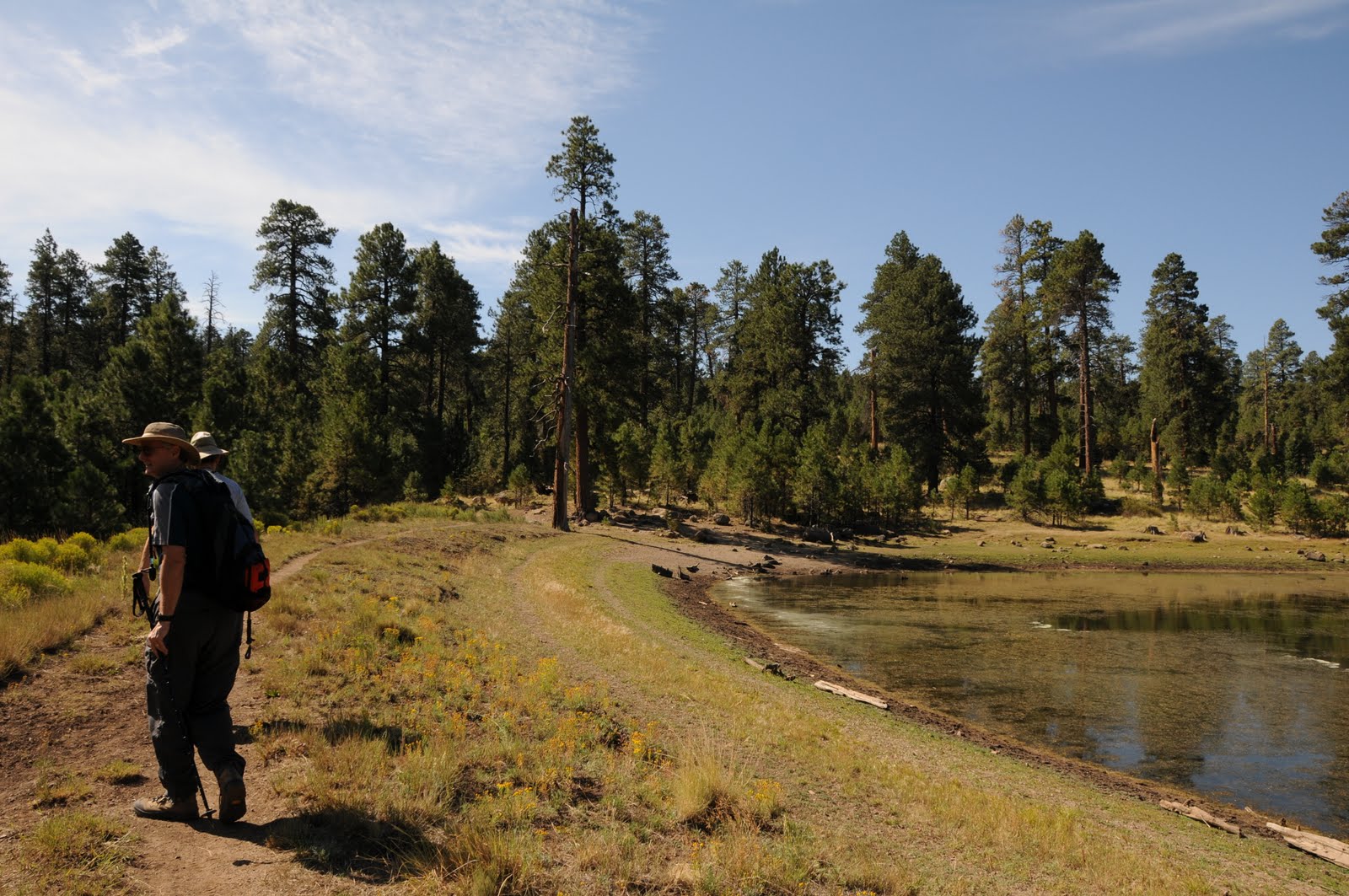
Because there are so many fine trails in Flagstaff’s Dry Lake Hills, deciding which to hike can be difficult. This “three-fer” loop hike solves the dilemma. Combining a trio of crowd-pleasing trails, this route swings around high altitude hillsides in lazy-Susan-style for a smorgasbord of sights and varying levels of difficulty. Each trail embodies a unique collection of sweet spots and curiosities. Little Bear, one of the newest trails in the area, is a narrow cut on a steep slope wandering among fir forests, crumbing bluffs and stone escarpments overlooking Sunset Crater and the Painted Desert. Sunset Trail showcases glimpses of the San Francisco Peaks as it makes a substantial climb through mixed pine-oak forests and fragrant alpine meadows. Little Elden-- the easiest segment—heads northwest through fern-laden foothills and stands of spruce trees to complete the loop. HIKE DIRECTIONS: The hike begins on the Sunset Trail with a 1.6-mile uphill climb to the Little Bear Junction. Turn left (northeast) and head 3.5 miles downhill on Little Bear to the Little Elden junction. Go left (northwest) and hike 1.7 miles back to the trailhead. HIGHLIGHTS: undulating route with lots of variety LENGTH: 6.8 miles roundtrip ELEVATION: 7,200-9,000 feet RATING: difficult DISTANCE FROM PHOENIX: 155 miles one-way GETTING THERE: From Flagstaff, go north on US 180 to Shultz Pass Road (Forest Road 420) at milepost 218.6. Turn right and continue 5 miles on FR 420 to the Sunset Trailhead on the right. INFORMATION: Peaks Ranger District (928) 526-0866, www.fs.fed.us/r3/coconino/recreation/peaks/little-bear-tr.shtml
Wednesday, July 21, 2010
SUNSET-LITTLE BEAR-LITTLE ELDEN LOOP
Because there are so many fine trails in Flagstaff’s Dry Lake Hills, deciding which to hike can be difficult. This “three-fer” loop hike solves the dilemma. Combining a trio of crowd-pleasing trails, this route swings around high altitude hillsides in lazy-Susan-style for a smorgasbord of sights and varying levels of difficulty. Each trail embodies a unique collection of sweet spots and curiosities. Little Bear, one of the newest trails in the area, is a narrow cut on a steep slope wandering among fir forests, crumbing bluffs and stone escarpments overlooking Sunset Crater and the Painted Desert. Sunset Trail showcases glimpses of the San Francisco Peaks as it makes a substantial climb through mixed pine-oak forests and fragrant alpine meadows. Little Elden-- the easiest segment—heads northwest through fern-laden foothills and stands of spruce trees to complete the loop. HIKE DIRECTIONS: The hike begins on the Sunset Trail with a 1.6-mile uphill climb to the Little Bear Junction. Turn left (northeast) and head 3.5 miles downhill on Little Bear to the Little Elden junction. Go left (northwest) and hike 1.7 miles back to the trailhead. HIGHLIGHTS: undulating route with lots of variety LENGTH: 6.8 miles roundtrip ELEVATION: 7,200-9,000 feet RATING: difficult DISTANCE FROM PHOENIX: 155 miles one-way GETTING THERE: From Flagstaff, go north on US 180 to Shultz Pass Road (Forest Road 420) at milepost 218.6. Turn right and continue 5 miles on FR 420 to the Sunset Trailhead on the right. INFORMATION: Peaks Ranger District (928) 526-0866, www.fs.fed.us/r3/coconino/recreation/peaks/little-bear-tr.shtml
WATERLINE ROAD-TUNNEL TRAIL
Thursday, July 1, 2010
SCHULTZ FIRE UPDATE
Monday, June 28, 2010
MORE SUMMER HIKING TRAILS!
PHOENIX magazine Summer Hiking Guide: ON SALE NOW. Don’t let triple digit summer temperatures put a damper on your hiking habit. Keep on trekking with the July issue of PHOENIX magazine which features 21 high-country trails-personally hiked and rated by yours truly--to help you beat the heat. Extra bonus: check out three of MY DOGS modeling hiking gear on page 47. AVAILABLE AT: Safeway, Fry’s Marketplace, Wal-Mart, Costco, Sam’s Club, Sunflower Markets, Sprouts, Borders, Barnes & Noble, CVS, Walgreen’s, Sky Harbor Airport, Albertson’s, Fresh & Easy, Lowe’s, Home Depot, Target, Whole Foods, Basha’s, A.J.’s, La Grande Orange, The Kitchen, and area hospital gift shops WEB SITE: http://www.phoenixmag.com/ ORDER BY PHONE: 480-664-3960
ICEHOUSE CANYON
It’s a bit tricky to stay on track, but with some attention to detail, hiking to the cool pockets of aspens and maples high on the slopes of the Pinal Mountains is an exhausting yet memorable adventure. From the trailhead, hike a short distance uphill along Forest Road 112 to the Telephone Trail on the right. Follow the Telephone Trail for two-tenths of a mile to the Icehouse Canyon Trail junction, hang a right and go downhill and through a dry wash. Next, pass through a cattle guard and continue up to the top of a rise. From there, go left and follow the road for a half-mile to a junction where there are spring-fed water troughs and salt licks for the domestic cattle (and black bears) that inhabit the area. Veer left and continue on the Icehouse Canyon Trail following the signs to FR 651 (7,560 feet), the turn around point for this hike. To visit Signal Peak (7,812 feet) and Pinal Peak (7,848 feet), continue up the road toward the radio towers and follow the signs. IMPORTANT NOTE: Pinal trails are notoriously overgrown and rife with obstacles. In addition, directional signage is sparse--so hikers must have excellent map and route-finding skills in order to safely navigate these trails. A good map resource is the National Geographic Maps, Salt River Canyon, Tonto National Forest #853. INFORMATION: www.natgeomaps.com/ti_853 LENGTH: 10 miles round trip ELEVATION: 4,520 – 7,560 feet RATING: difficult. BEST SEASONS: March - November (warm in summer) DISTANCE FROM PHOENIX: 95 miles one-way GETTING THERE: From Phoenix, take Highway 60 east to Globe. Once in Globe, follow the “Besh-Ba-Gowah Ruins, Globe Ranger Station” signs through downtown to Icehouse Canyon Road (FR 112). Turn right onto FR 112 and continue for 4.2 miles to the Icehouse CCC campsite which is indicated by a brown sign that says: “197, 192”. INFORMATION: (928) 402-6200, www.fs.fed.us/r3/tonto/recreation/rogs/hikingtrail/grd/IcehouseTrail198.pdf
HORTON CREEK-HORTON SPRING
PARSONS TRAIL, MAY 2009
Monday, June 7, 2010
18 HIKES NOT FEATURED ON THIS BLOG!!
PHOENIX magazine
Summer Hiking Guide:
on newsstands June 24, 2010.
Don’t let triple digit summer temperatures put a damper on your hiking habit. Keep on trekking with the July issue of PHOENIX magazine which features 21 high-country trails-personally hiked and rated by yours truly--to help you beat the heat.
Extra bonus: check out three of MY DOGS modeling hiking gear on page 47.
AVAILABLE AT: Safeway, Fry’s Marketplace, Wal-Mart, Costco, Sam’s Club, Sunflower Markets, Sprouts, Borders, Barnes & Noble, CVS, Walgreen’s, Sky Harbor Airport, Albertson’s, Fresh & Easy, Lowe’s, Home Depot, Target, Whole Foods, Basha’s, A.J.’s, La Grande Orange, The Kitchen, and area hospital gift shops
WEB SITE: http://www.phoenixmag.com/
ORDER BY PHONE: 480-664-3960
Wednesday, May 19, 2010
EAST VERDE RIVER WALK
Saturday, May 8, 2010
WATER WHEEL FIRE UPDATE
MAP:
http://www.fs.usda.gov/Internet/FSE_DOCUMENTS/stelprdb5208054.pdf
Sunday, May 2, 2010
HUNTER CREEK 2010
GORDON CREEK FALLS 2010
Tuesday, April 20, 2010
VERDE RIVER GREENWAY
Thursday, April 15, 2010
LOST GOLDMINE TRAIL
Wednesday, April 14, 2010
SHOOFLY VILLAGE RUINS
Subscribe to:
Posts (Atom)
